SR 612 overlays 9.40 miles of Nellis Boulevard north from SR 593 (Tropicana Boulevard) at Whitney to SR 604 (North Las Vegas Boulevard). The four to six lane arterial travels almost entirely within the unincorporated Sunrise Manor area, straddling the east Las Vegas city line from Charleston Boulevard (SR 159 west) to Owens Avenue. The northernmost 1.25 miles of SR 612 run along the western boundary of Nellis Air Force Base.
The Northeast Interceptor Project installed new sanitary sewer pipeline along a 2.5 mile stretch of Nellis Boulevard between SR 574 (Cheyenne Avenue) and SR 604. Work commenced on August 9, 2017 and concludes in July 2018. The $14.5 million project reduced the six-lane arterial two one lane per direction at times during construction.1
|
| Confirming marker for SR 612 north posted beyond the intersection with SR 159 (Charleston Boulevard). 07/21/14 |
|
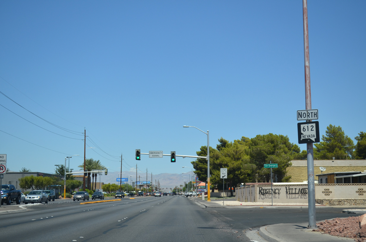
| Northbound SR 612 at Stewart Road. The four lane arterial leads west to the Metropolitan Park and Stewart Place neighborhoods of east Las Vegas. East as a five lane boulevard, Stewart Road continues by a pair of apartment complexes and the Regency Village and Ponderosa Plaza subdivisions. 07/21/14 |
|
| Advancing a half mile north, Nellis Boulevard remains commercialized to Bonanza Road. Bonanza Road leads west through Las Vegas to become SR 579 just north of I-515 and Downtown. 07/21/14 |
|
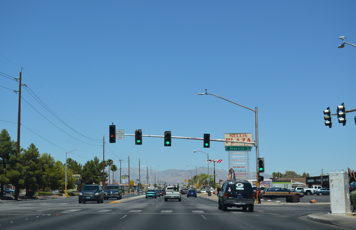
| The traffic lights at Harris Avenue serve schools located both west and east of Nellis Boulevard. 07/21/14 |
|
| The succeeding signal operates along Nellis Boulevard north at Washington Avenue. Washington Avenue heads east to the Hollywood Highlands development in Sunrise Manor and west to Washington Square, College Park, and Gary Reese Freedom Park in Las Vegas. 07/21/14 |
|
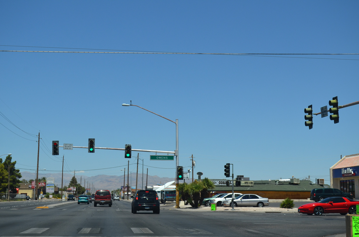
| SR 612 (Nellis Boulevard) intersects Owens Avenue at the northeast corner of the eastern Las Vegas city limits. Owens Avenue runs along the city line west to Pecos Road and North Las Vegas. The arterial continues on the city boundary from there to I-15. 07/21/14 |
|
| Unmarked from SR 612 (Nellis Boulevard), Lake Mead Boulevard is SR 147 extending west 4.5 miles to Losee Road beyond I-15 and east 10 miles through Sunrise Manor to Sunrise Mountain Natural Area and the entrance to Lake Mead National Recreation Area. 07/21/14 |
|
| Continuing a half mile north from SR 147 (Lake Mead Boulevard), SR 612 intersects Carey Avenue. 07/21/14 |
|
| Nellis Avenue travels through an industrial area to Cheyenne Avenue. Unsigned along SR 612, Cheyenne Avenue is SR 574 west 10.44 miles through North Las Vegas to U.S. 95 (Orange K. Gragson Freeway) in Las Vegas. 07/21/14 |
|
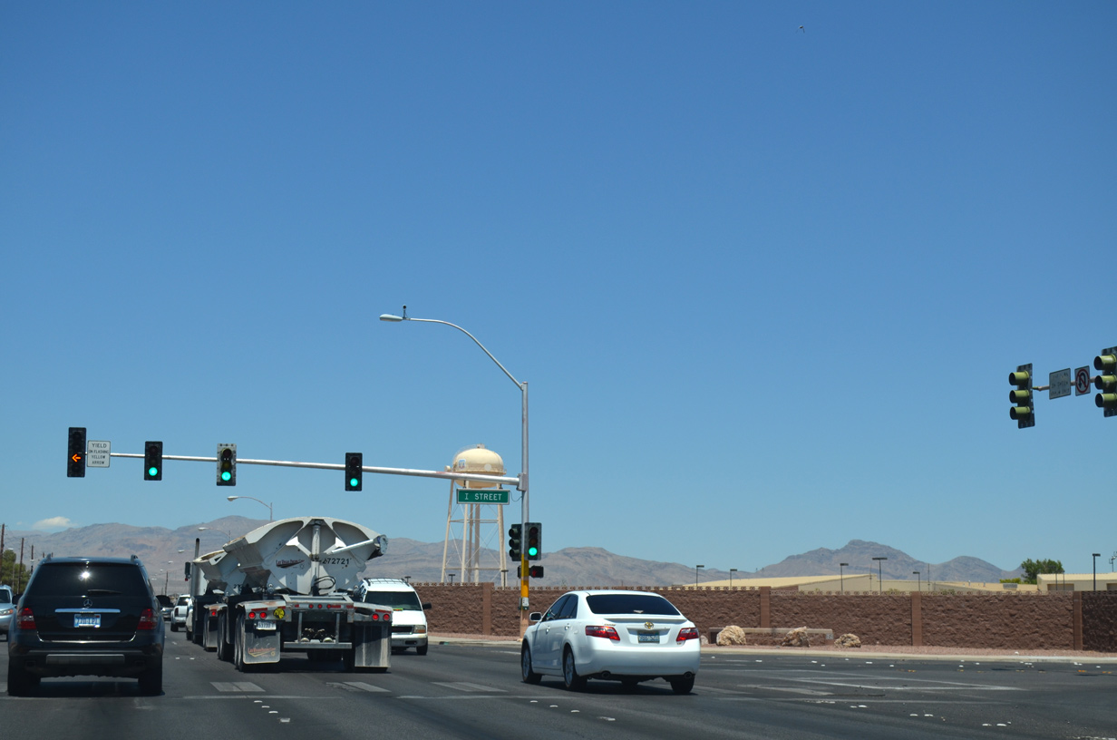
| SR 612 (Nellis Boulevard) intersects Gowan Road west at the I Street entrance to Nellis Air Force Base. 07/21/14 |
|
| SR 612 concludes with an end shield at SR 604 (North Las Vegas Boulevard). 07/21/14 |
|
| Las Vegas Boulevard (historic U.S. 91-93) angles southwest into North Las Vegas and northeast across Nellis AFB to Las Vegas Motor Speedway. Unmarked from SR 612, SR 604 extends south to Carey Avenue and north to I-15/U.S. 93 near Apex. 07/21/14 |
|
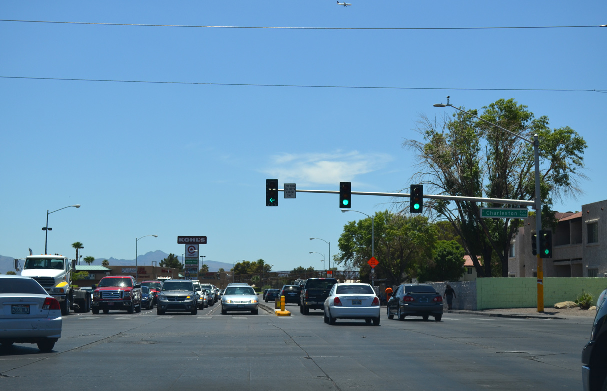
| SR 612 (Nellis Boulevard) intersects the unmarked east end of SR 159 (Charleston Boulevard). Charleston Boulevard runs west along the Las Vegas city line between the Pinewood and Vegas Manor neighborhoods to I-515/U.S. 93-95 and areas south of Downtown. 07/21/14 |
Page Updated 07-06-2018.


 North
North