
Nevada State Route 267 angles southwest 21.42 miles from U.S. 95 at Scotty's Junction to Grapevine Canyon in Death Valley National Park. Scotty's Castle Road leads the highway across Bonnie Claire Flat through southern Esmeralda County. Crossing into Nye County, SR 267 travels between the dry Bonne Claire Lake and the Grapevine Mountains north to the ghost town of Bonnie Claire and Sarcobatus Flat.
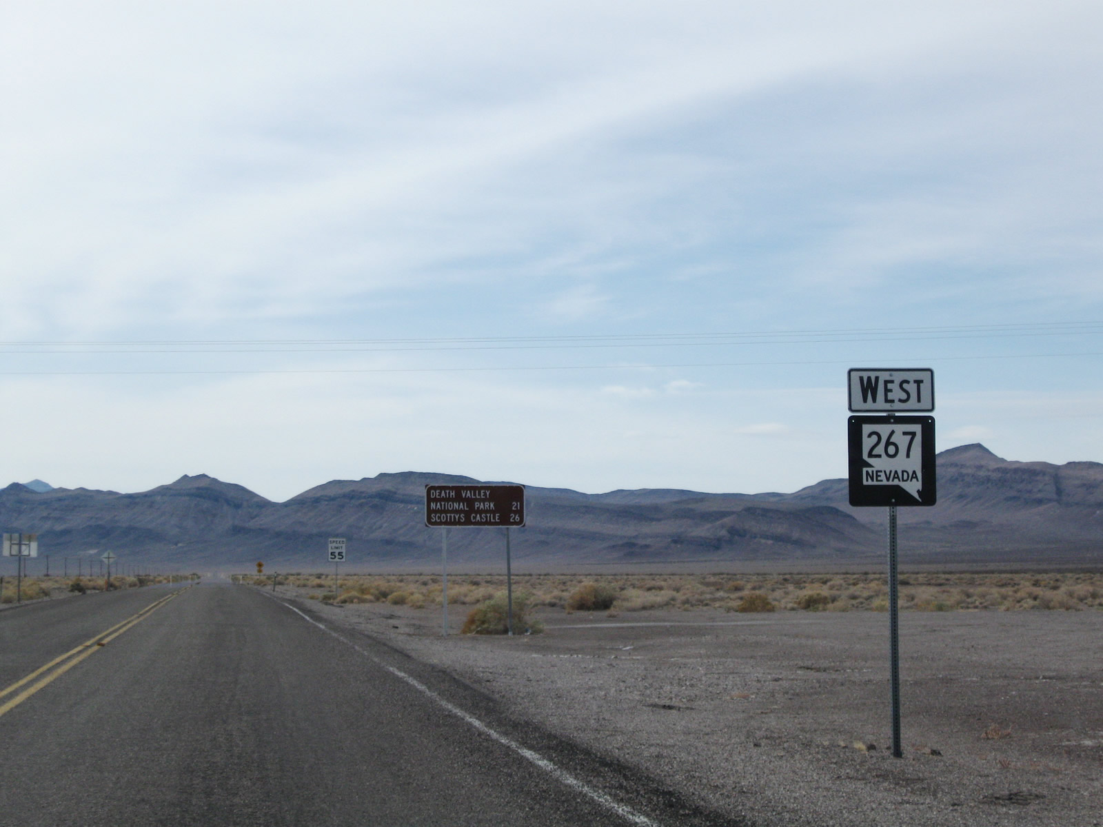 | SR 267 (Scott's Castle Road) ventures 21 miles south to California state line and the boundary of Death Valley National Park. Scotty's Castle lies five miles further in Grapevine Canyon. 11/11/08 |
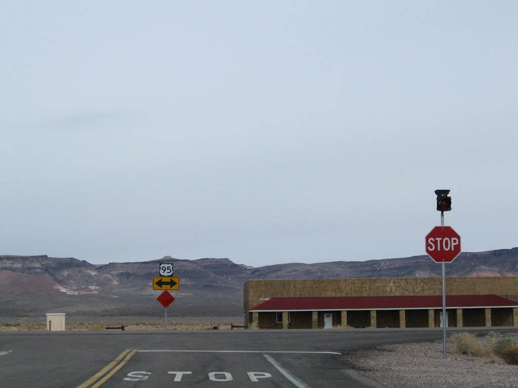
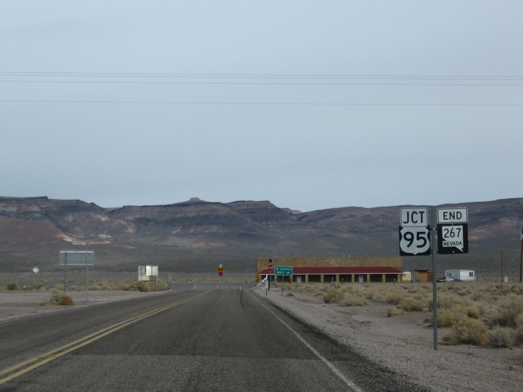 | An end shield for SR 267 precedes the intersection with U.S. 95 at Scott's Junction. 11/11/08 |
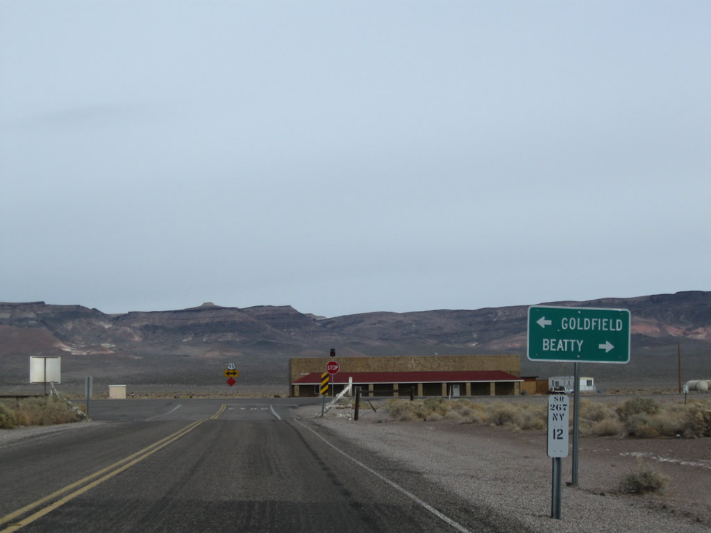 | U.S. 95 travels a remote route north to Goldfield and south to Beatty. 11/11/08 |
 | Pahute Mesa rises east of Scotty's Junction and Sarcobatus Flat. U.S. 95 stays to the west between Springdale and Stonewell Pass. 11/11/08 |
Photo Credits:
11/11/08 by AARoads
Connect with:
U.S. 95
Page Updated 04-19-2019.