1.9 miles in length, Business Loop I-8 (Winterhaven Drive) to Winterhaven is a locally maintained route connecting Interstate 8 with the unincorporated community north of Yuma, Arizona. Winterhaven Drive lines part of Historic U.S. 80 between CR S-24 (Araz Road) west and CR S-24 (Picacho Road) east across the Yuma Main Canal. Old U.S. 80 followed Quechan Road southeast to the Ocean to Ocean Highway Bridge spanning the Colorado River and Arizona border.
The business route at Winterhaven seamlessly links with Business Loop I-8 south into Yuma, Arizona. State maintenance commences along Winterhaven Drive through the diamond interchange (Exit 172) with I-8. Classified as Route 8U, Business Loop I-8 extends 0.40 miles south to the Colorado River and N 4th Avenue in Yuma.
Located in southeastern Imperial County, Winterhaven sits at an elevation of 130 feet. The 2000 Census placed the population at 529 people and by the 2020 Census only 192 lived in the unincorporated community. The population number however increases during the winter months with snowbirds.
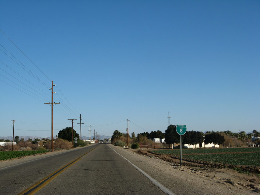
Business Loop I-8 in Winterhaven is poorly marked, with only one shield posted for the route as of 2019. Imperial County Route S-24 shields only appear at the intersection with Picacho Road.
|
| The first confirming marker for Business Loop I-8 appears east of the intersection with County Route S24 (Araz Road) west. 01/15/07 |
|
| Sans End RV Park lines the south side of Business Loop I-8 ahead of Winterhaven. 01/15/07 |
|
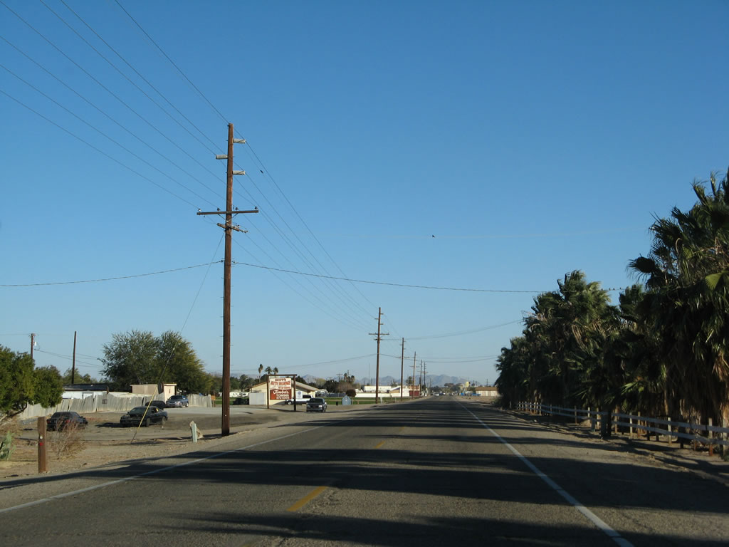
| Removed by 2019, the second shield for Business Loop I-8 preceded the Winterhaven street grid. 01/15/07 |
|
| Winterhaven Drive enters the Winterhaven business district east from 3rd Avenue. 01/15/07 |
|
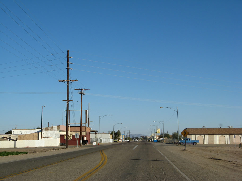
| Winterhaven Drive east at Railroad Avenue. While the long distance traveler amenities such as gas stations are not found here, other businesses cater to area residents, especially during the Winter. 01/15/07 |
|
| Leaving Winterhaven, Business Loop I-8 expands into a four lane, divided highway ahead of County Route S24 east on Picacho Road. 01/15/07 |
|
| Imperial County Route S-24 continues northeast from Winterhaven Drive toward the Laguna and Imperial Dams via the Quechan (Fort Yuma) Indian Reservation and Bard. 01/15/07 |
|
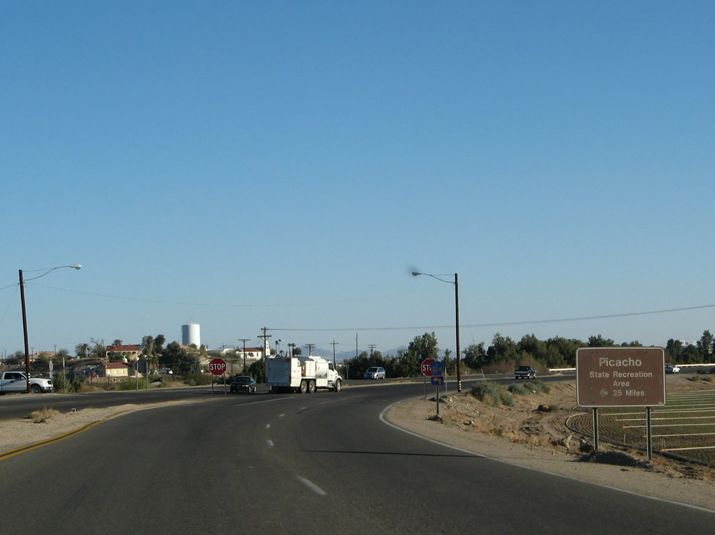
| CR S-24 follows Picacho Road north to Ross Road. Picacho Road continues from there to Picacho State Park along the Colorado River near Picacho Peak. 01/15/07 |
|
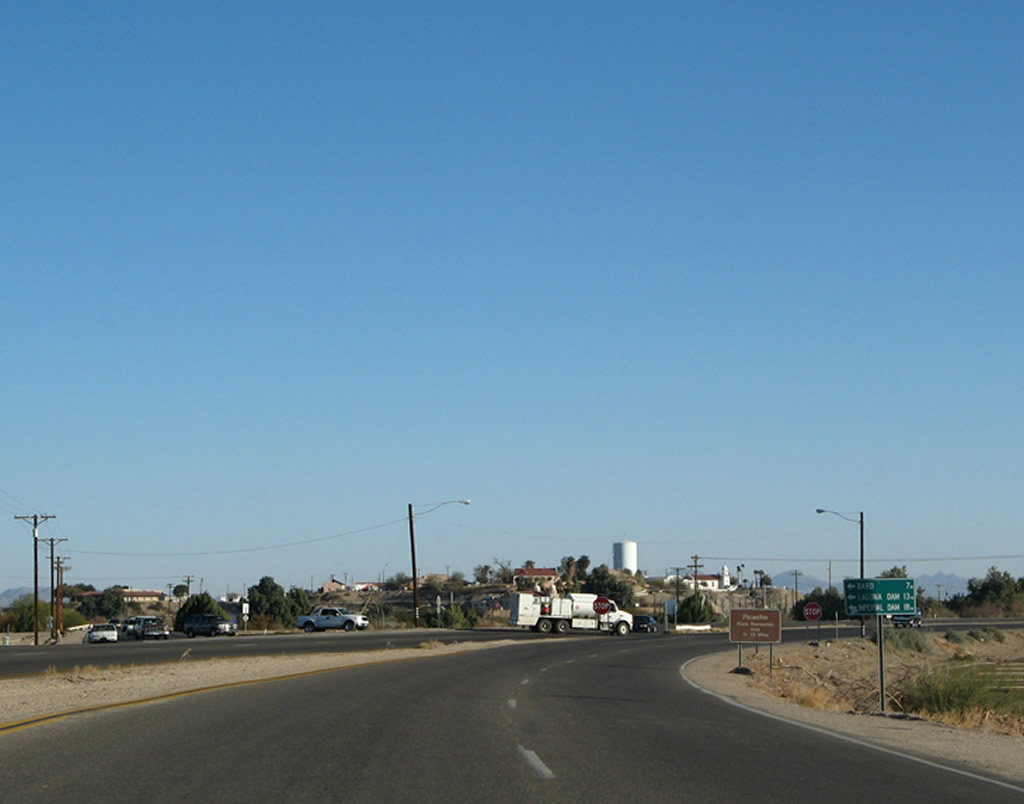
| CR S-24 crosses the Yuma Main Canal just east of Business Loop I-8, where it meets Quechen Road south to the Ocean-to-Ocean Highway Bridge. The span across the Colorado River was the first to carry U.S. 80 into Arizona. 01/15/07 |
Photo Credits:01/15/07 by AARoads
Connect with:
Interstate 8
Business Loop I-8 - Yuma
Page Updated 04-06-2022.


 East
East