

 West
West
Business Loop I-8 (32nd Street) west at Cielo Verde Drive south. The succeeding intersection is with the N Frontage Road for Interstate 8.
07/07/18

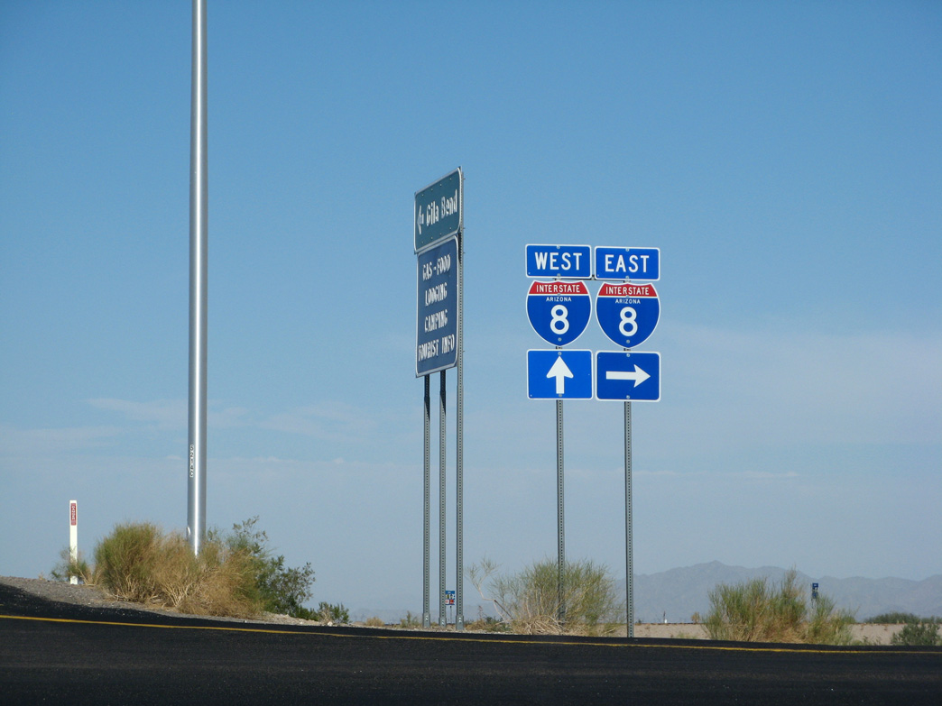
The N frontage Road arcs eastward to the RIRO ramps along westbound Interstate 8 at Exit 9.
07/07/18

8th Avenue E extends south from Business Loop I-8 (E 32nd Street) and the N Frontage Road to Sierra Montana, Saguaro and other suburban developments.
07/07/18

The first confirming marker for Business Loop I-8 along 32nd Street precedes E 31st Place.
07/07/18

07/07/18

SR 195 constitutes a 22.05 mile long highway north to Interstate 8 nearby and south to a point along Juan Sanchez Boulevard 5.01 miles east of U.S. 95 in San Luis.
07/07/18

07/07/18

07/07/18

07/07/18

07/07/18

07/07/18

07/07/18

07/07/18

07/07/18

Avenue 3E was formerly part of SR 280 north 1.47 miles from Business Loop I-8 (E 32nd Street) to Interstate 8. Avenue 3E south leads to USMC Air Station Yuma.
07/07/18

32nd Street continues west along the north side of Yuma International Airport (YUM).
07/07/18

Avenue 2 1/2E intersects Business Loop I-8 at the Yuma County Fairgrounds.
07/07/18

Pacific Avenue (Avenue 2E) intersects Business Loop I-8 across from the passenger terminal at Yuma International Airport (YUM).
07/07/18

07/07/18

Removed by 2018, Mile marker 5 for Business Loop I-8 was posted at Fortuna Avenue.
07/07/18

07/07/18

07/07/18

Business Loop I-8 curves northward onto S 4th Avenue beyond the ensuing traffic light with Catalina Drive. W 32nd Street provides a cutoff 0.68 miles west to U.S. 95 south for Somerton and San Lui.
07/07/18

Catalina Drive intersects Business Loop I-8 by Big Curve Shopping Center and other retail.
07/07/18

W 32nd Street branches west as Business Loop I-8 transitions onto S 4th Avenue north.
07/07/18

07/07/18

07/07/18

Reassurance marker posted ahead of W 28th Street.
07/07/18

07/07/18

07/07/18

07/07/18

Originating at the International border with Mexico in San Luis, U.S. 95 travels 23.10 miles north to Somerton and Business Loop I-8 (4th Avenue) in Yuma. U.S. 95 continues east across South Gila Valley and then north to I-10 at Quartzsite.
07/07/18

U.S. 95 runs west along 16th Street to S Avenue B and east to Pacific Avenue en route to El Prado Estates in unincorporated Yuma County.
07/07/18

The confirming marker for Business Loop I-8 posted north of U.S. 95 was removed after 2015 with the expansion of 4th Avenue at 16th Street to six lanes.
01/27/06

S 4th Avenue north at W 14th Street.
07/07/18

Business Loop I-8 returns to Interstate 8, 1.6 miles north of forthcoming W 11th Street.
07/07/18

07/07/18

07/07/18

Mile marker 1 for Business Loop I-8 was located just north of W 7th Street.
07/07/18

S 4th Avenue north at W 3rd Street and Harold C. Giss Parkway east.
07/07/18

07/07/18

07/07/18

Colorado River State Historic Park lines the east side of Business Loop I-8 (N 4th Avenue) between Yuma Main Canal and the California state line.
07/07/18

Business Loop I-8 proceeds north across the Colorado River onto Winterhaven.
07/07/18

Business Loop I-8 enters Imperial County, California southeast of Winterhaven.
07/07/18

Business Loop I-8 (Winterhaven Drive) meets Interstate 8 at a diamond interchange (Exit 172) between the Colorado River and Yuma Main Canal.
07/07/18

Interstate 8 spans the Colorado River southeast into Yuma.
07/07/18
Winterhaven Drive arcs northwest into Winterhaven while Interstate 8 travels west to El Centro and San Diego.
07/07/18
Photo Credits:
01/27/06, 07/07/18 by AARoads
Connect with:
Interstate 8
U.S. 95
Former State Route 280
Page Updated 04-05-2022.