

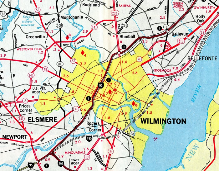
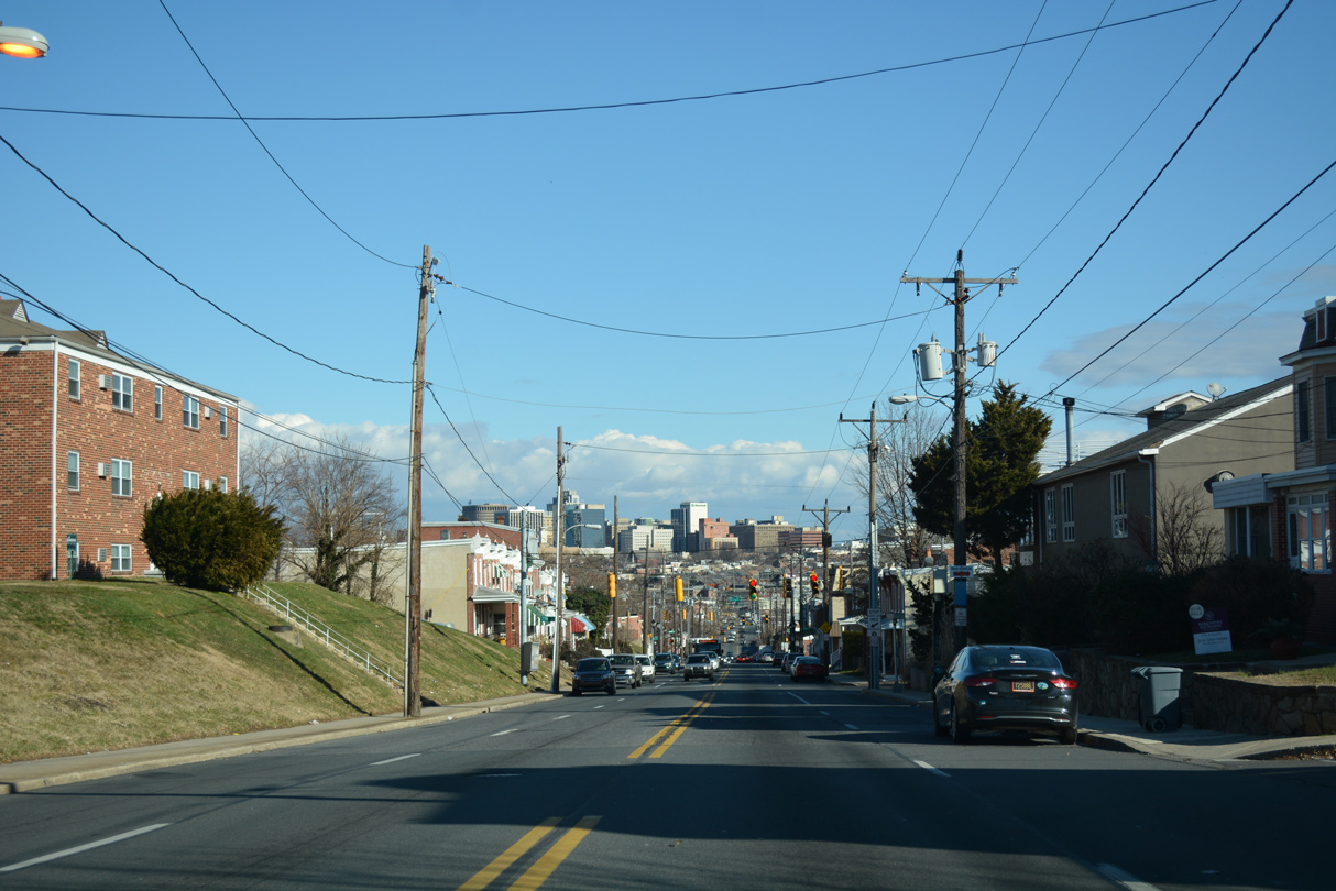
Delaware State Route 4 parallels Interstate 95 to the north between Newark and Wilmington. The state route varies as a suburban or urban arterial, connecting the communities of Brookside, Ogletown and Stanton and the town of Newport. Mostly serving local traffic and commuters, SR 4 also forms part of a truck bypass for Newark and a through route alongside SR 7 at Churchmans Crossing and Stanton.
Delaware State Route 4 Guides
- East - Newark to Churchmans Crossing
- East - Stanton to Wilmington
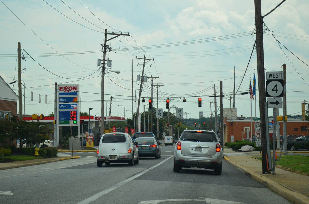
- West - Wilmington to Stanton
- West - Churchmans Crossing to Newark
- Archive
The first version of SR 4 dates as far back as at least 1938. That route traveled east from the Maryland state line to Middletown and Odessa along what is now SR 299 until 1957. The designated was reassigned to the route between Newark and Wilmington in 1967.
An extension through Wilmington was made as part of the 1970 citywide renumbering of U.S. 13, U.S. 202, SR 9 and SR 48. SR 4 overtook the former alignment of U.S. 202 south along Washington Street to Baynard Boulevard, where it branched northeast through the 9th Ward Area, Harlan and Brandywine Hills to exit the city. The route concluded along Washington Street Extension at U.S. 13 Business (Philadelphia Pike). By 1981, SR 4 was truncated back to SR 48 (2nd and Front Streets).
SR 4 Guide
Historically, SR 4 began at the Maryland state line via Chestnut Hill Road to the southwest of Newark. Chestnut Hill Road carried the state route east across south Newark to Brookside and SR 273 at Ogletown. The western portion of Chestnut Hill Road was decommissioned as SR 4, and renamed Old Chestnut Hill Road, when the "SR 4 Connector" opened west from S College Avenue (SR 896) to Elkton Road (SR 279 / former SR 2) in September 1983. The controlled access roadway was named Christina Parkway three weeks after it opened.
Chestnut Hill Road transitions from a two lane road with semi-rural standards into a divided arterial east from Christina Parkway. The four lane road passes south of University of Delaware land and the Bob Carpenter Center (basketball arena and concert venue) and north of Robscott Manor ahead of a Norfolk Southern Railroad crossing. SR 4 intersects SR 72 (South Chapel Street) just beyond the city line.
Realignments of SR 896 in 1985 and SR 2 in 1988 added both routes to Christina Parkway east from Elkton Road. Relocated to bypass the University of Delaware campus south from Downtown Newark, SR 896 combines with SR 4 east to S College Avenue. SR 2 was moved onto SR 4 east to SR 72 north to divert through traffic around the city. SR 2 was ultimately dropped from SR 4 in Fall 2013 when it was truncated eastward to SR 72 (Library Avenue) at SR 273 (E Main Street).
Leading away from Newark, Chestnut Hill Road carries SR 4 eastward by a number of older subdivisions at Brookside to the community of Ogletown. Ogletown was once the site of heavy congestion from when SR 273 shared a brief overlap with SR 4 between Ogletown Road west back into Newark and Christiana Road southeast to Christiana. The concurrency was eliminated in 1997, when a new controlled access expressway opened for SR 273 above SR 4.
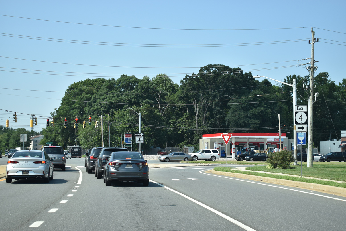
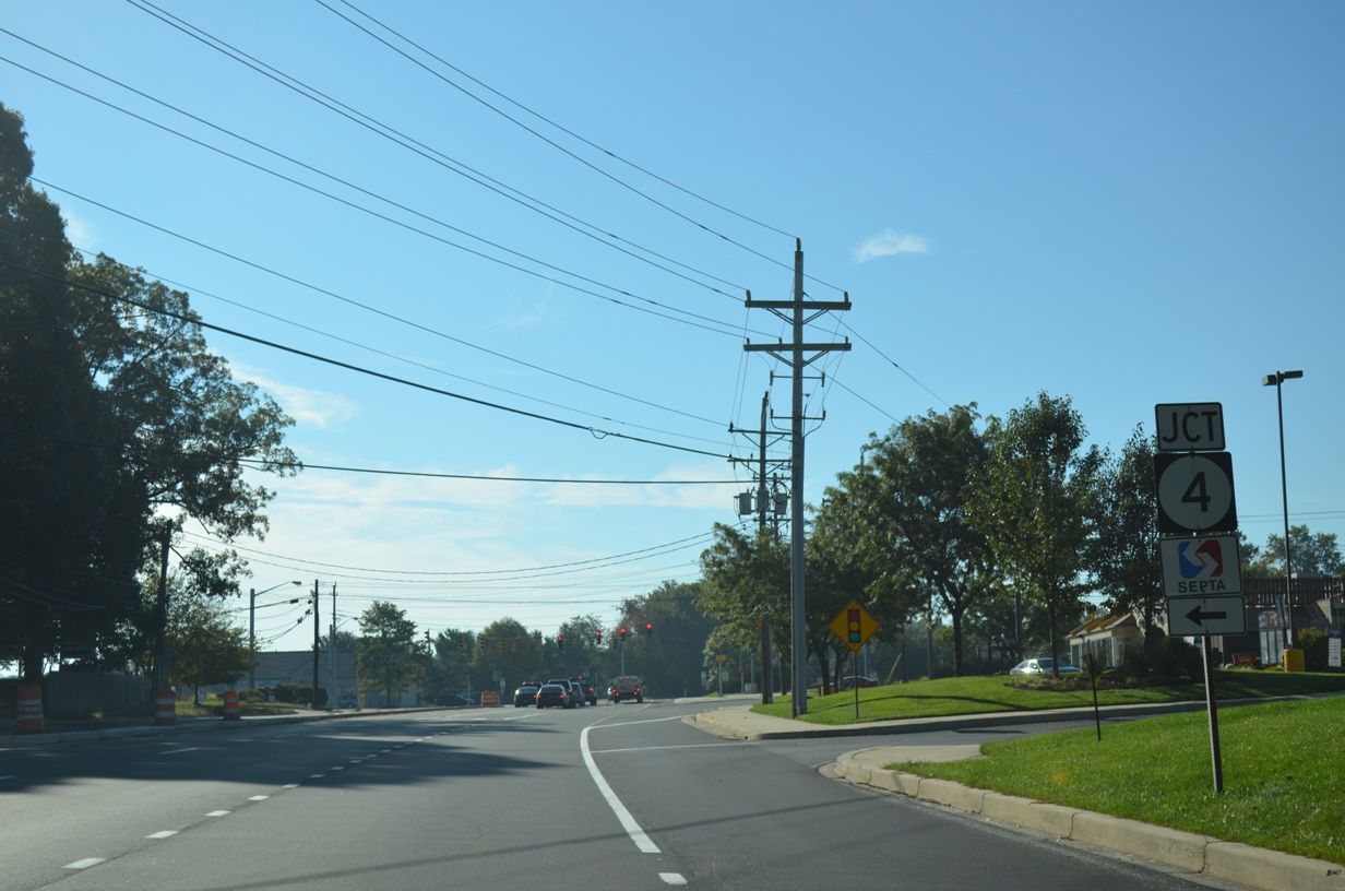
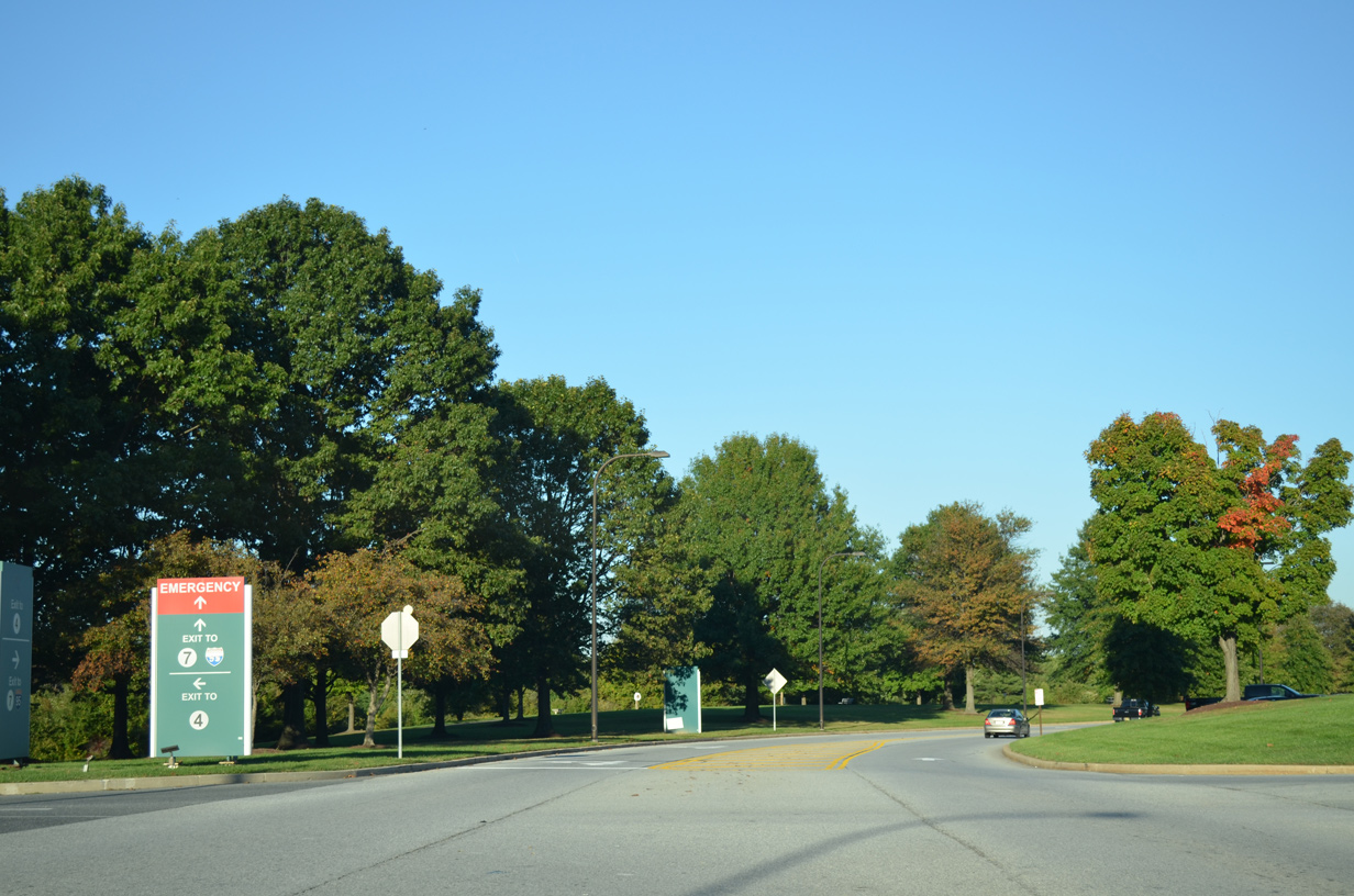
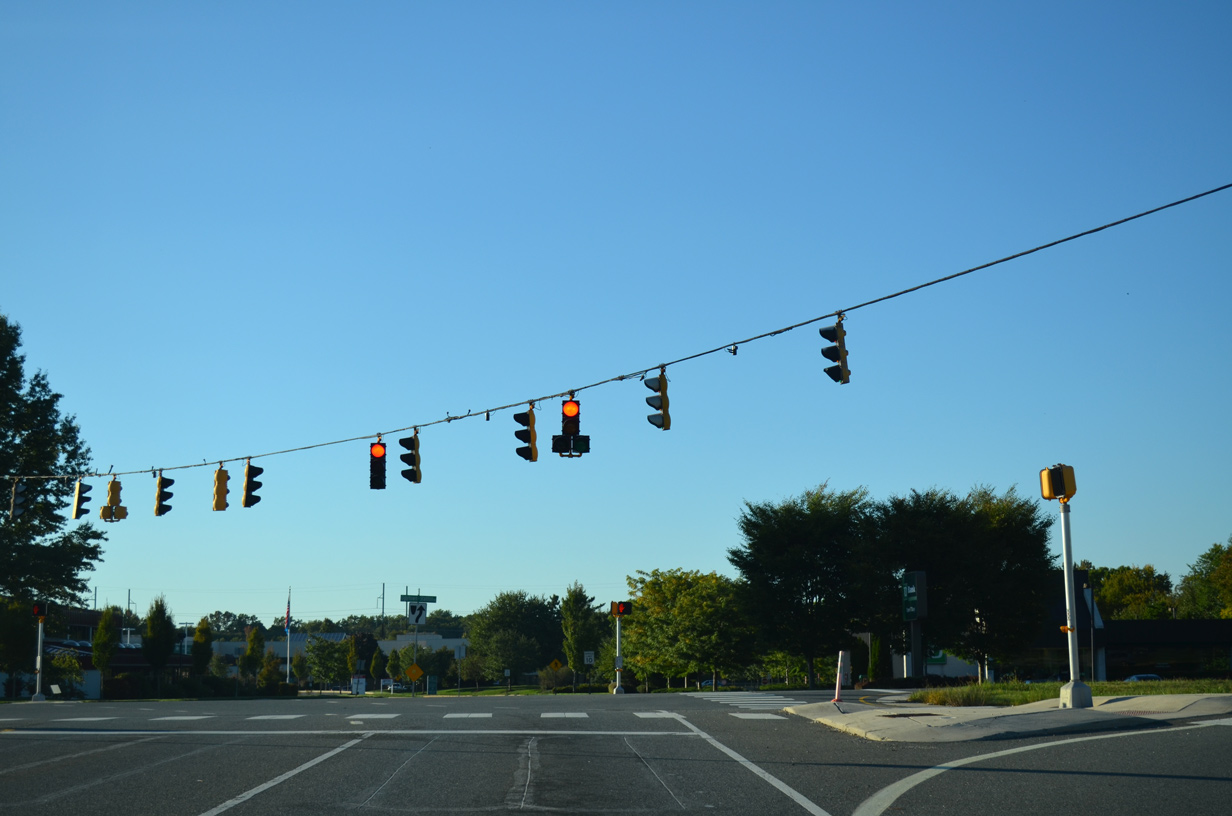
Advancing east from Ogletown, SR 4 (Stanton Ogletown Road) remains a busy arterial to Harmony Road, Christiana Hospital, the south entrance to Delaware Park and SR 7 at Churchmans Crossing. The state route combines with SR 7 north to the community of Stanton.
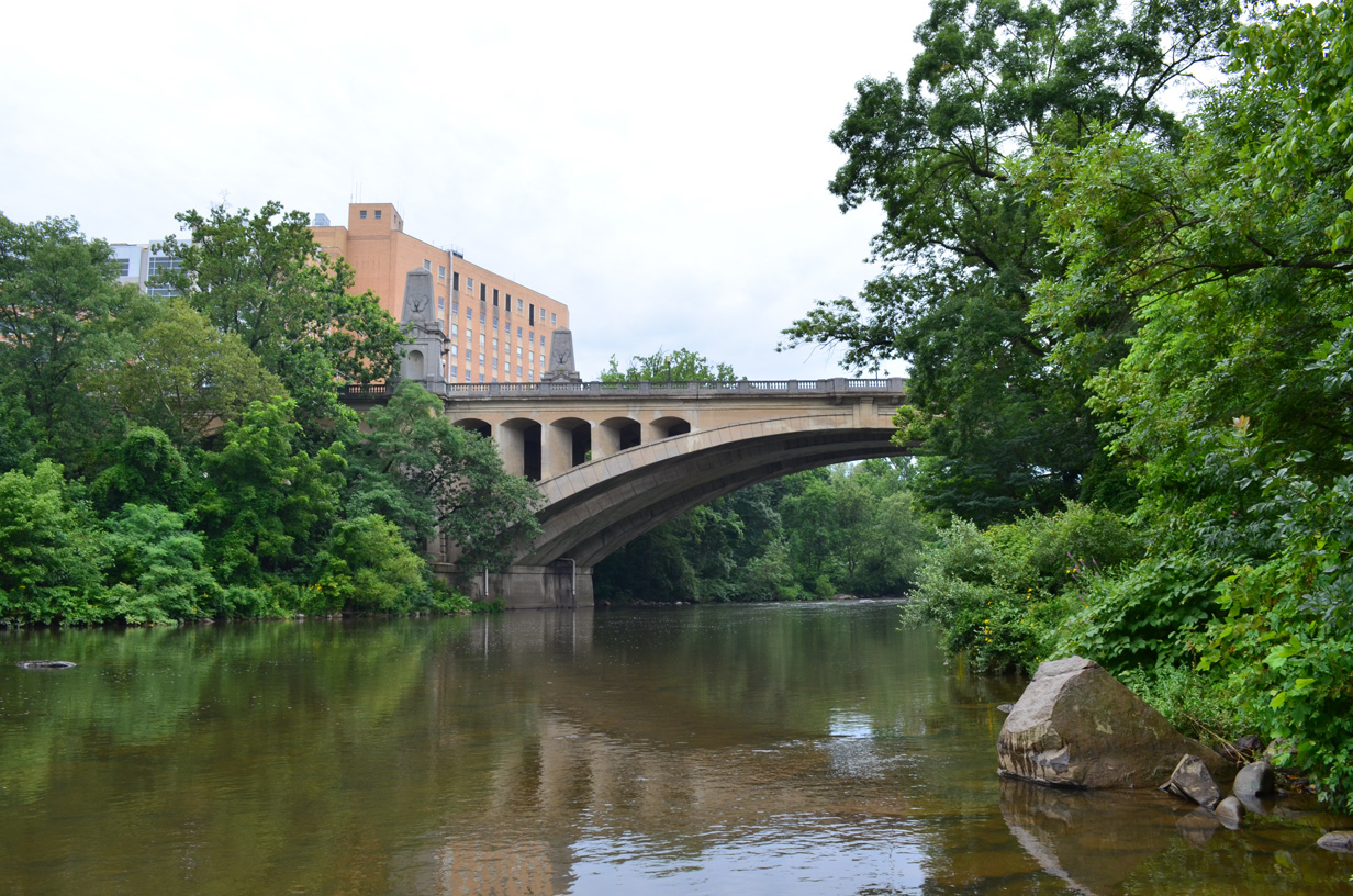
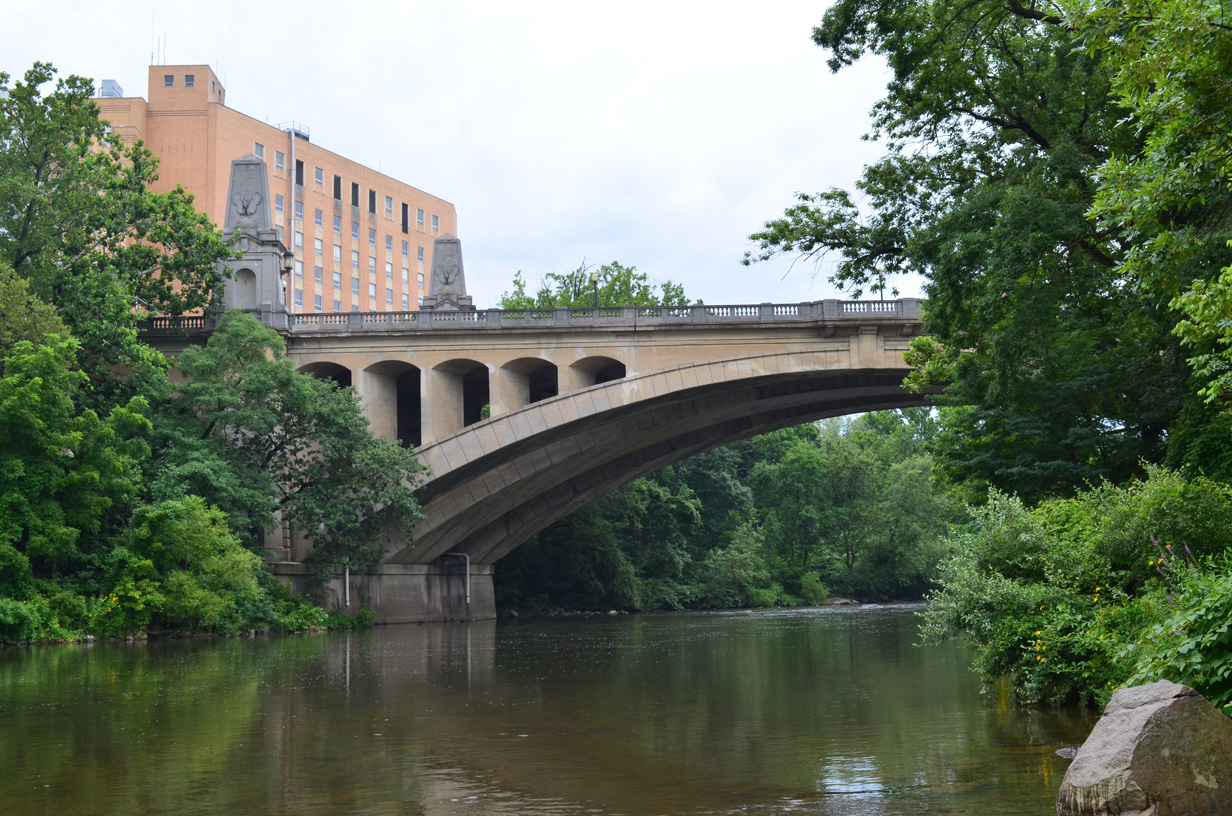
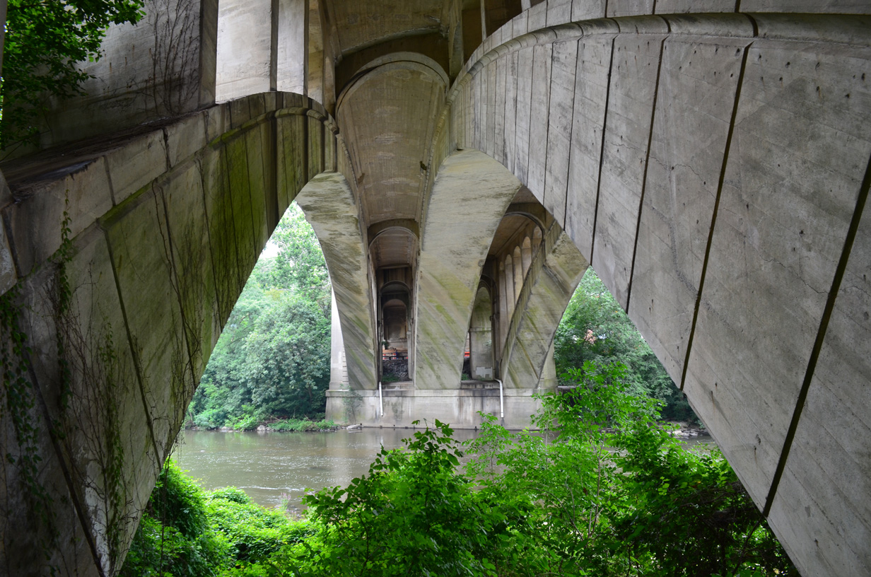
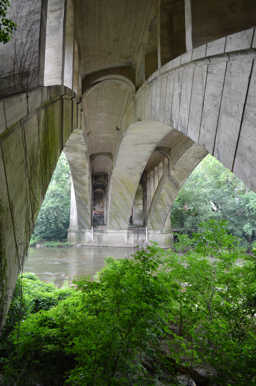
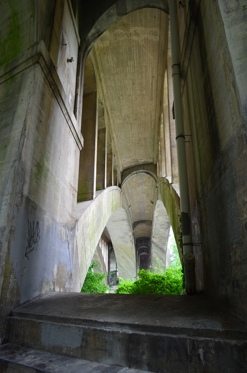
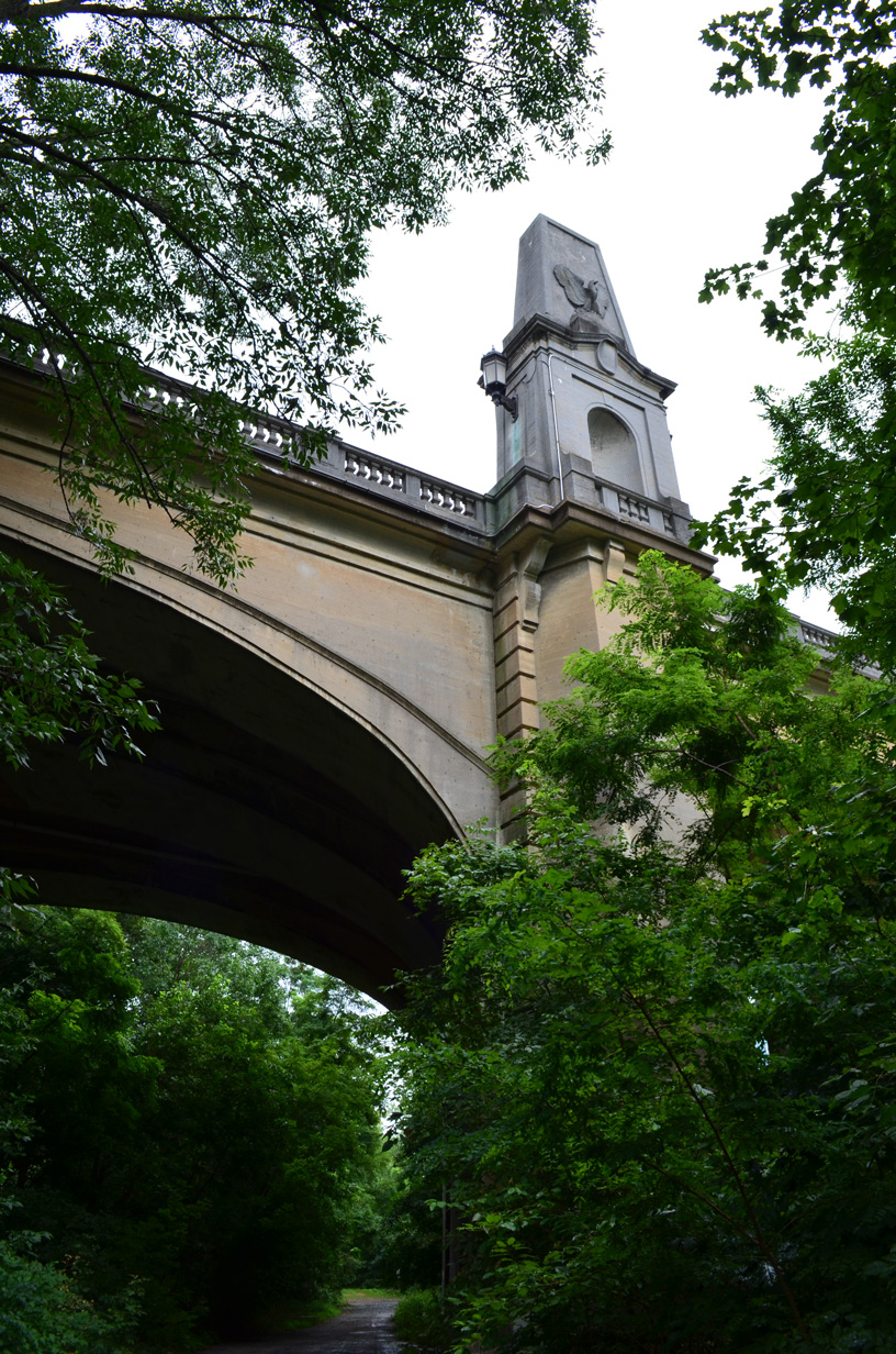
The 1.2 mile long overlap for SR 4/7 comprises a six lane controlled access arterial to the east of Delaware Park, and over the AMTRAK Northeast Corridor and White Clay Creek. The alignment was constructed in the early 1980s to bypass a narrow and often flood plagued railroad underpass and a concrete arch bridge. An access road links the north end of the old alignment with SR 4/7, while the south end ties into the state routes directly.
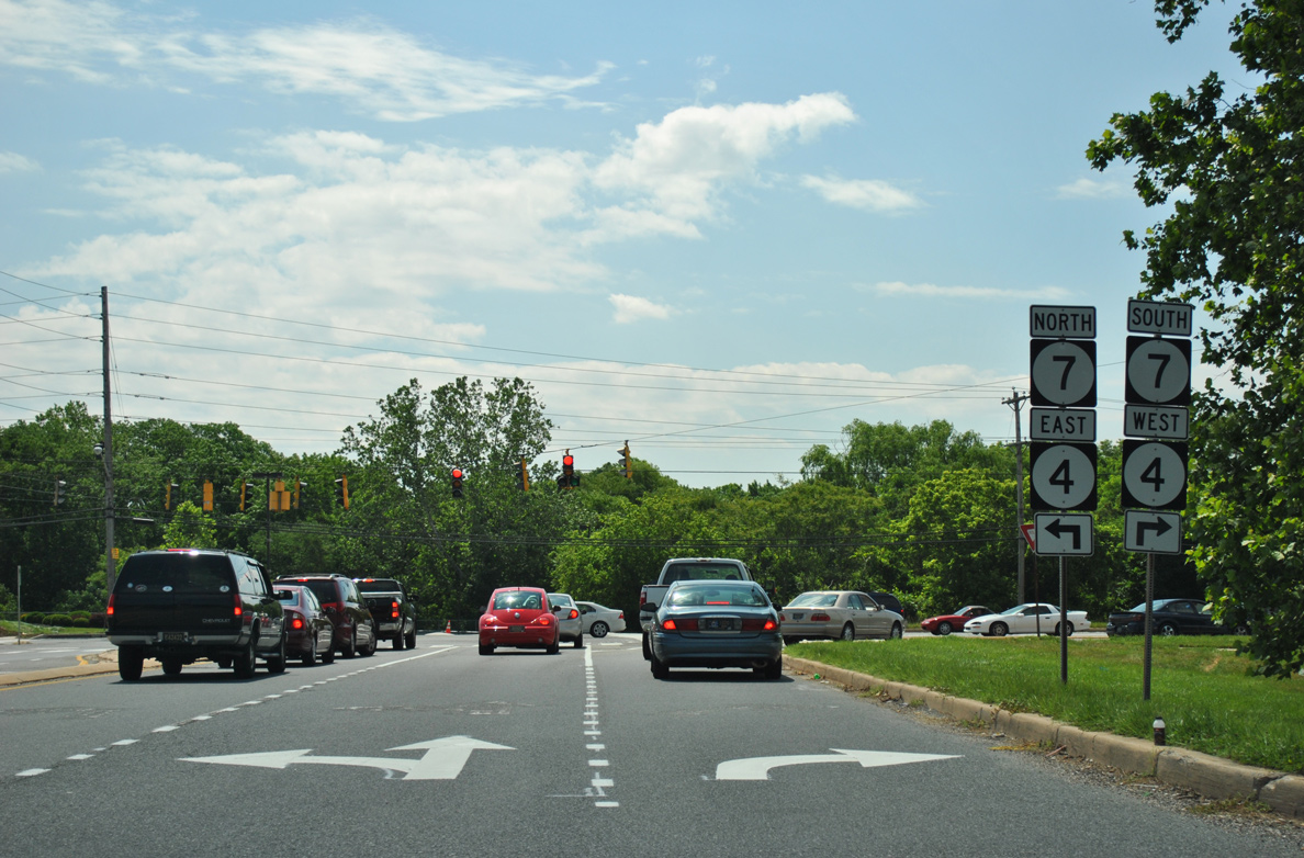
SR 4/7 enter Stanton and separate at Limestone Road as SR 4 partitions into a one way couplet. SR 7 turns north to the Pike Creek Valley toward Hockessin. Mitch Road leads SR 4 east. SR 4 west follows Newport Pike and Main Street to the north. East of Red Clay Creek, the separate directions of SR 4 combine along Newport Pike, an older four-lane commercial arterial.
Once in the town of Newport, SR 4 splits again into a one way pair, with eastbound using Market Street and westbound taking Justis Street. The couplet passes below a freeway viaduct carrying SR 141 north to Prices Corner and south to New Castle. SR 4 recombines two blocks east of Marshall Street and the northbound ramps for SR 141.
Resuming along Newport Pike away from Newport, SR 4 angles northeast toward Wilmington. The four lane boulevard represents the main commercial strip by Bellemoor, Elmhurst, Richardson Park, and other older subdivisions. SR 62 (Boxwood Road) ties into SR 4 from Belvedere to the northwest at Middleboro Road. Newport Pike becomes Maryland Pike as the state route progresses east to SR 100 and Canby Park West.
Maryland Avenue passes between the Cleland Heights and Latimer Estates subdivision to enter the city of Wilmington at the split with Broom Street. Broom Street heads north to Bayard Square while SR 4 continues to the Browntown and Hedgeville neighborhoods. SR 4 varies with capacity on the descent toward West Center City depending on time of day. During peak hour traffic four lanes are available. The outside lanes accommodate on street parking during the rest of the day and on weekends. Resurfacing of SR 4 underway between Fall 2018 and Fall 2019 includes a road diet along Maryland Avenue from Race Street at Richardson Park to Beech Street in Wilmington. The Pavement and Rehabilitation, North VIII, 2016 project added bike lanes, on-street parking and a continuous center turn lane along Maryland Ave between SR 100 (DuPont Road) and Beech Street. Construction commenced in Fall 2019 and was completed by Winter 2021.
Beyond ramps with Interstate 95, SR 4 splits with eastbound traffic remaining along Maryland Avenue to SR 48 (Martin Luther King, Jr. Boulevard) east. Westbound begins at 2nd Street (SR 48 west), one block to the north, and follows Monroe Street south to Maryland Avenue.
Delaware State Route 4 - 2015 Annual Average Daily Traffic (AADT)
- 38,462 - SR 279 (Elkton Road) to Science Boulevard (west of SR 896)
- 19,514 - SR 896 to Old Chestnut Hill Road
- 25,672 - Old Newark Road to Salem Church Road
- 29,345 - SR 58 (Churchmans Road) to SR 7
- 53,369 - merge with SR 7 to Stanton Road
- 15,219 - west Newport limits to James Street Road
- 39,217 - James Street Road to east Newport limits
- 17,555 - SR 62 (Boxwood Road) to SR 100 (South Dupont Road)
- 12,626 - I-95 to SR 48 (Front Street)
 scenes scenes |
 | Marrows Road Extension north at SR 4 (Chestnut Hill Road) and Marrows Road north at Brookside. 12/26/17 |
 | Harmony Road emerges from the Tanglewood neighborhood north at Omega Shops and SR 4 (Stanton-Ogletown Road). The two lane road expands into a controlled access roadway with full shoulders beyond SR 4 en route to SR 2 (Kirkwood Highway). 08/25/21 |
 | Approaching SR 4 on Harmony Road south. Harmony Road south to SR 273 (Christiana Road) is a popular route for motorists originating from SR 2 (Kirkwood Highway). Community complaints of speeding along the road led to a temporary closure at SR 273 and the addition of traffic calming measures in 1999-2000. 09/28/14 |
 | SR 4 leads west from Harmony Road to Ogletown and east to Christiana Hospital. A project to replace the concrete traffic island for the westbound turn removed this shield assembly. 04/24/05 |
 | Sign directing traffic exiting Christiana Hospital to SR 4 (Ogletown Stanton Road) and SR 7 via SR 58 (Churchmans Road). 09/27/14 |
 | The north exit from Christiana Hospital ties into SR 4 (Ogletown Stanton Road) across from Hygeia Drive. 09/27/14 |
  | Telegraph Road wedges through a narrow CSX Railroad underpass as it curves southeast from Old Capitol Trail to end at SR 4/7 in Stanton. 06/02/12 |
 | Stanton Road links Old Capitol Trail in Marshallton with SR 4 (Newport Pike / Mitch Road) in Stanton. 04/24/04 |
  | Old Eagle signals were used at the intersection with Newport Pike west until their replacement in 2015. 07/31/13 |
 | Stanton Road north at SR 4 (Newport Pike) west. Stanton Road provides a through route north to Old Capitol Trail and Greenbank Road at Marshallton. 06/16/12 |
 | Stanton Road ends at Mitch Road (SR 4 east). This span wire array of Eagle signals were replaced with new mast-arm assemblies by 2015. 07/31/13 |
  | James Street extends the west side frontage road of SR 141 southward into the town of Newport. A freeway off-ramp joins James Street south for SR 4 (Justis Street) west to Stanton and east to Richardson Park. 07/31/13 |
 | Weather worn overheads direct traffic on James Street south to both SR 4 (Market Street) east and the adjacent on-ramp for SR 141 (Newport Freeway). Heavy truck traffic uses this block, and by 2014 it was resurfaced with concrete. 07/31/04 |
 | James Street switches to two-way traffic south of SR 4 (Market Street) east as it parallels the Newport Freeway to Old Airport Road. 07/31/04 |
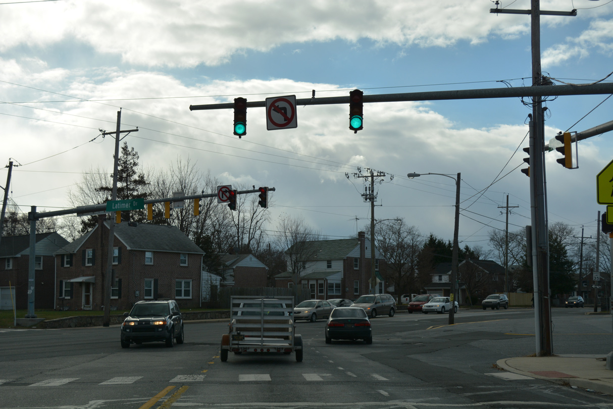 | Broom Street heads south from SR 48 east (Lancaster Avenue) with two-way traffic to Koscuiszko Park and the St. Elizabeth Area in Wilmington to intersect SR 4 (Maryland Avenue) just beyond the city line at Latimer Drive and Latimer Place. 12/30/16 |
Photo Credits:
- 04/24/04 by AARoads.
- 07/31/04 by AARoads.
- 04/24/05 by AARoads.
- 06/02/12 by AARoads.
- 06/16/12 by AARoads.
- 07/31/13 by AARoads and I.C. Ligget.
- 09/27/14 by AARoads.
- 09/28/14 by AARoads.
- 12/30/16 by AARoads.
- 12/26/17 by AARoads.
- 08/25/21 by AARoads.
Connect with:
Interstate 95
State Route 7
State Route 9
State Route 48
State Route 58
State Route 62
State Route 72
State Route 100
State Route 141
State Route 273
State Route 896
Page Updated 01-04-2023.