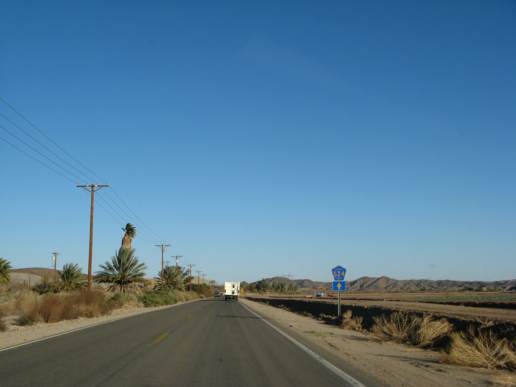
County Road S-24 follows a stair stepped route northeast from Business Loop I-8 at Winterhaven to the Arizona state line near Imperial Dam and Yuma Proving Ground. The rural highway travels 17.1 miles through Fort Yuma Indian Reservation and the community of Bard.
|
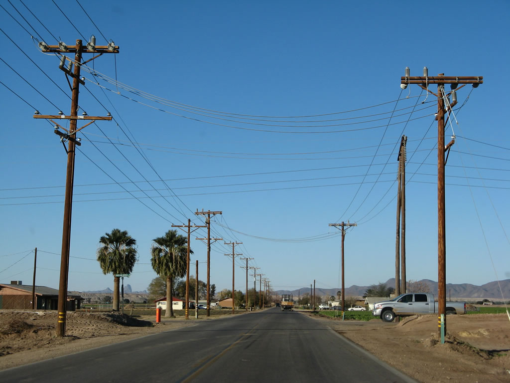
| Leaving the intersection with Business Loop I-8 just east of downtown Winterhaven, Imperial County S-24 travels east briefly along Picacho Road. 01/15/07 |
|
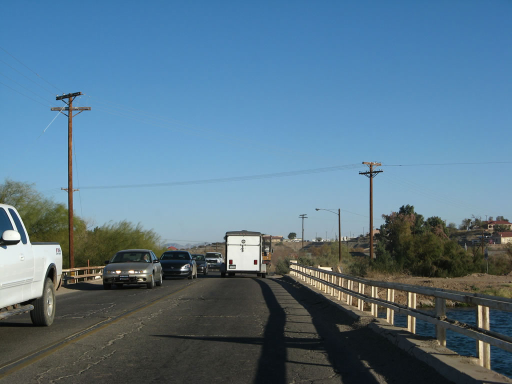
| CR S-24 navigates along several local roads four miles to Bard and 15 miles to Imperial Dam. Once at Imperial Dam, the county road crosses the Colorado River and becomes unnumbered Imperial Dam Road in Arizona. 01/15/07 |
|
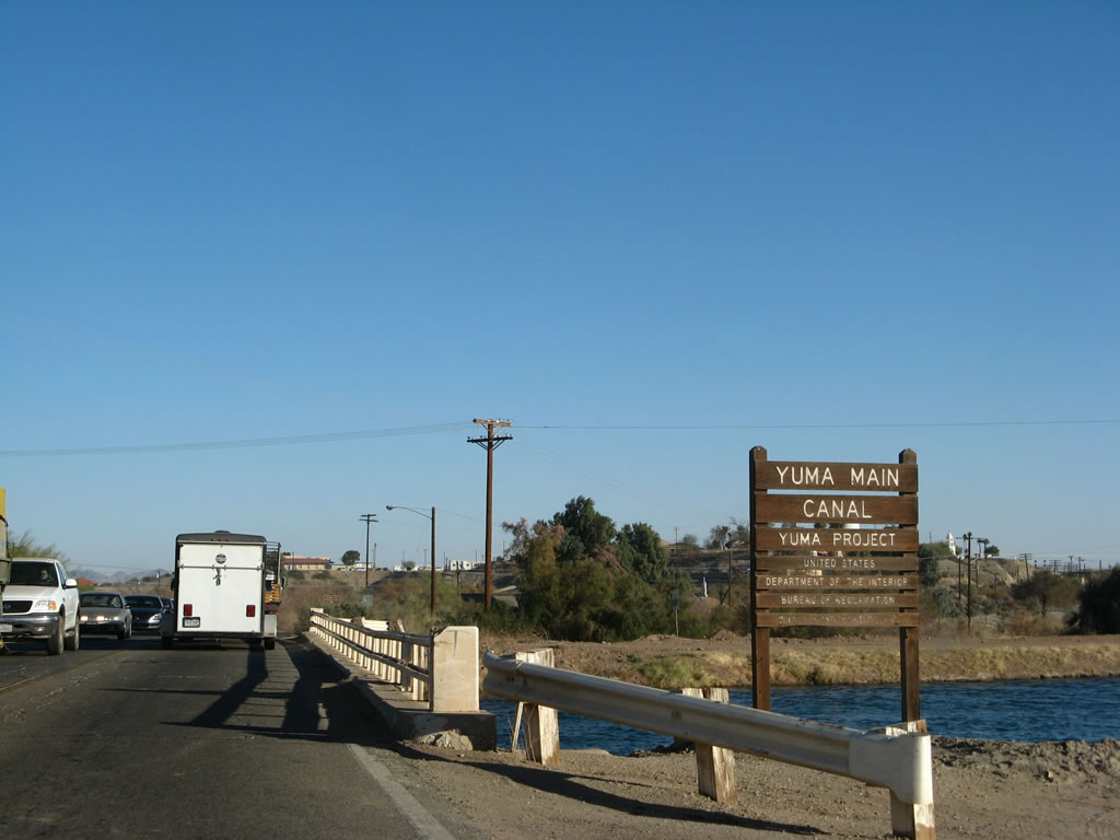
| Picacho Road crosses the Yuma Main Canal, which brings water from All American Canal to Yuma. The old bridge likely dates to the 1930s. 01/15/07 |
|
| Beyond Yuma Main Canal, Imperial County S-24 (Picacho Road) turns north from Quechan Road east to the Quechan Indian Reservation casino and the Ocean-to-Ocean Highway Bridge, which carried Old U.S. 80 over the Colorado River. 01/15/07 |
|
| The county road next dives under the Union Pacific Railroad via this subway. 01/15/07 |
|
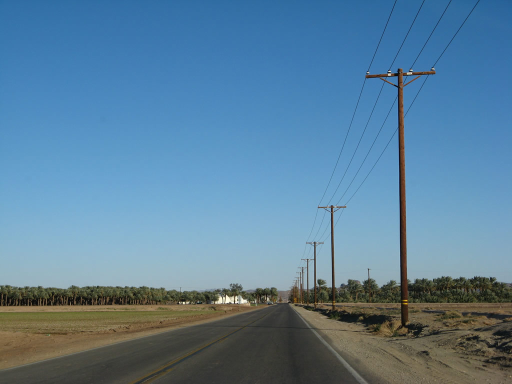
| Another Yuma Project sign is posted after the railroad subway. Imperial County S-24 enters the Quechan (or Fort Yuma) Indian Reservation. Most of the ensuing road north to Bard traverses agricultural areas, all made possible by irrigated water. 01/15/07 |
|
| CR S-24 (Picacho Road) curves northeast from Indian Hill Road to Quechan Drive. 01/15/07 |
|
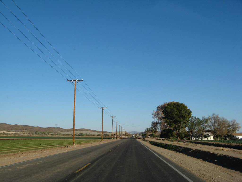
| A reassurance marker stands along Picacho Road north after Cocopah Road. The county road leads due north across agricultural areas to Quechan Community Center. 01/15/07 |
|
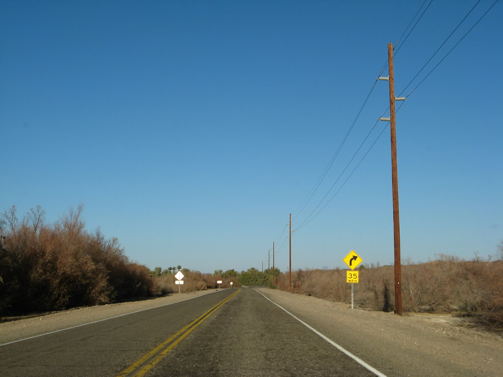
| A lone palm tree swayed in the winter wind as Picacho Road approached Indian Rock Road in the Quechan Indian Reservation. Several of the intersecting roads are signed as Indian Roads, complete with black and white arrowhead shield. 01/15/07 |
|
| Picacho Road north at Indian Rock Road (3rd Street). 01/15/07 |
|
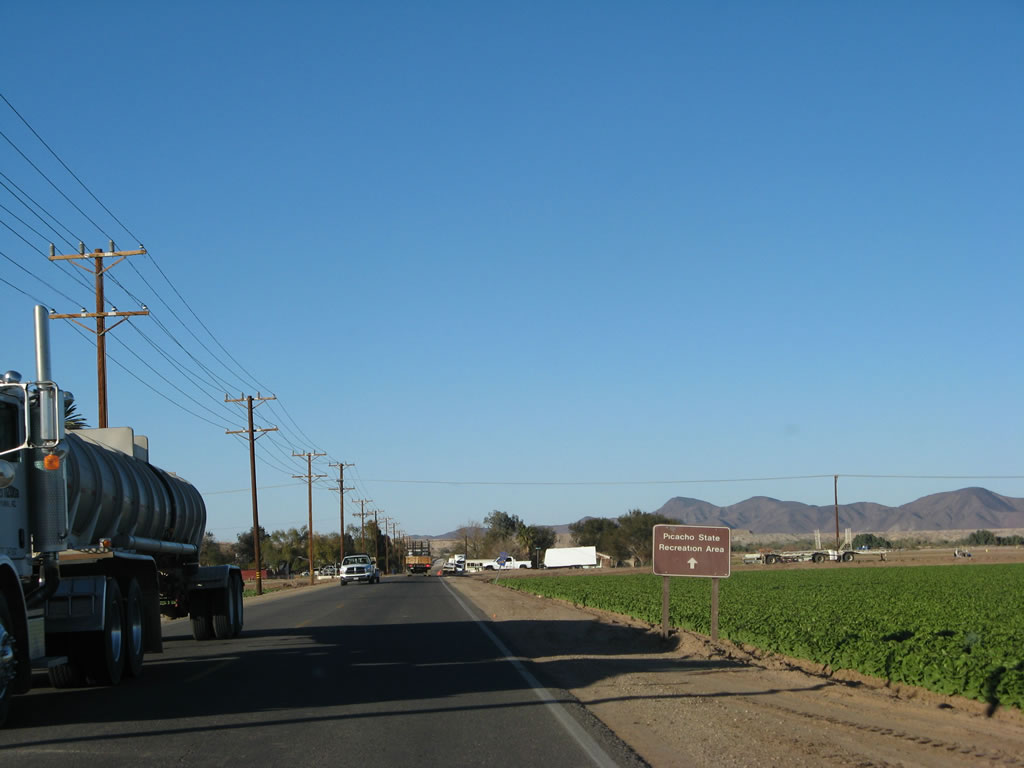
| Imperial County S-24 turns east onto Ross Road at the upcoming intersection. Picacho Road continues north into the desert, eventually connecting with Picacho State Recreation Area along the Colorado River via miles of unpaved road. 01/15/07 |
|
| A trailblazer for the continuation of Imperial County S-24 precedes the Picacho Road intersection with Ross Road. 01/15/07 |
|
| Ross Road spans the Reservation Main Drain irrigation canal three quarters of a mile east from Picacho Road. 01/15/07 |
|
| A reassurance marker for CR S-24 appears at the intersection with Perez Road (Avenue H) at Ross Corner. 01/15/07 |
|
| Imperial County S-24 remains well signed, with a trailblazer posted along the route near Cocopah Canal. 01/15/07 |
|
| County Road S-24 shifts northward from Ross Road onto Bard Road near a palm farm. 01/15/07 |
|
| Bard Road leads the county road one mile north to Colby Road (8th Street). The Little Picacho Peak Wilderness lies ahead. 01/15/07 |
|
| The rural settlement of Bard lines Imperial County S-24 north at Whitmore Road (7th Street). 01/15/07 |
|
| Continuing the stair-stepped route, CR S-24 turns east from Bard Road onto a mile long stretch of Colby Road. 01/15/07 |
|
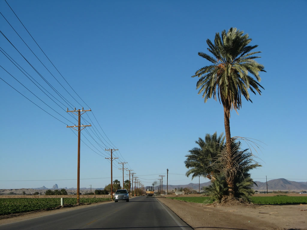
| Leading east from Bard Road, CR S-24 (Colby Road) passes by several palm tree farms. 01/15/07 |
|
| CR S-24 makes another 90 degree turn, shifting from Colby Road east onto York Road north. 01/15/07 |
|
| York Road extends Imperial County S-24 1.5 miles north. 01/15/07 |
|
| A trailblazer directs CR S-24 northward from Nordahl Road by the Cloud Museum. 01/15/07 |
|
| Mehring Road continues CR S-24 east from York Road at the forthcoming curve. 01/15/07 |
|
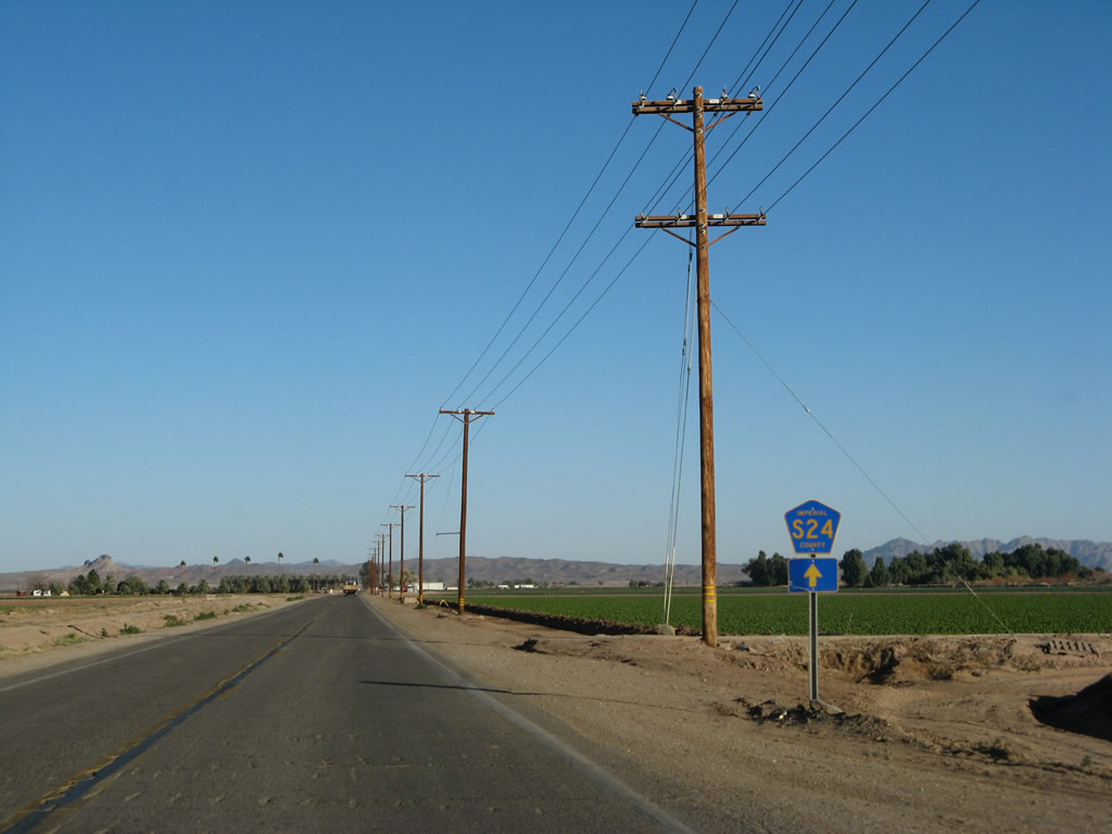
| Travelling due east, Imperial County S-24 (Mehring Road) parallels the Reservation Main Drain over the next 1.25 miles. 01/15/07 |
|
| The final trailblazer for CR S-24 appears after the Mehring Road intersection with Avenue A. 01/15/07 |
|
| Imperial County S-24 spans the Reservation Main Canal for a second time just ahead of the Colorado River. 01/15/07 |
|
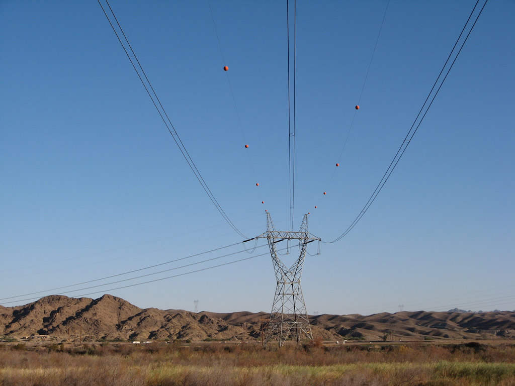
| 500kV Southwest Powerlink transmission lines span overhead, carrying power across southern California and Arizona. 01/15/07 |
|
| Nearing the Colorado River, County Road S-24 veers northward onto Imperial Road. 01/15/07 |
|
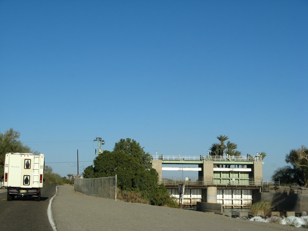
| Laguna Dam is located ahead. There are no facilities here. 01/15/07 |
|
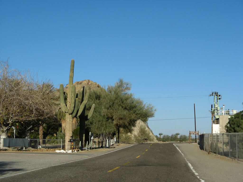
| Saguaro cactus along Imperial Road, across from Laguna Dam. 01/15/07 |
|
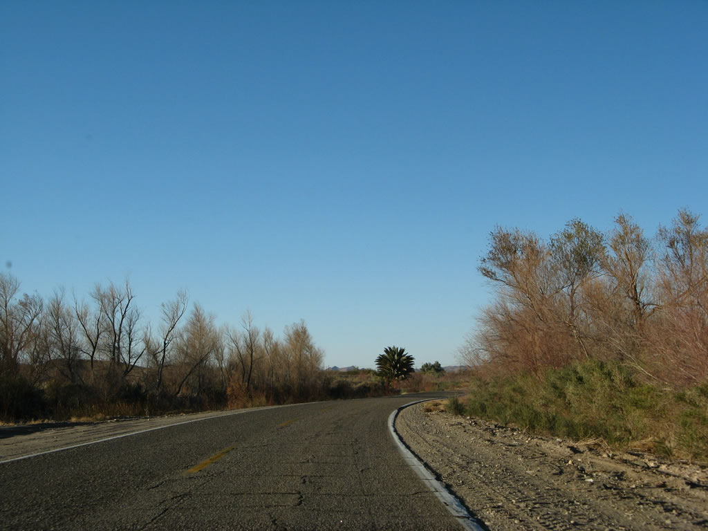
| Continuing north, Imperial County S-24 passes through riparian, desert vegetation on its way north between Laguna Dam and Imperial Dam. 01/15/07 |
|
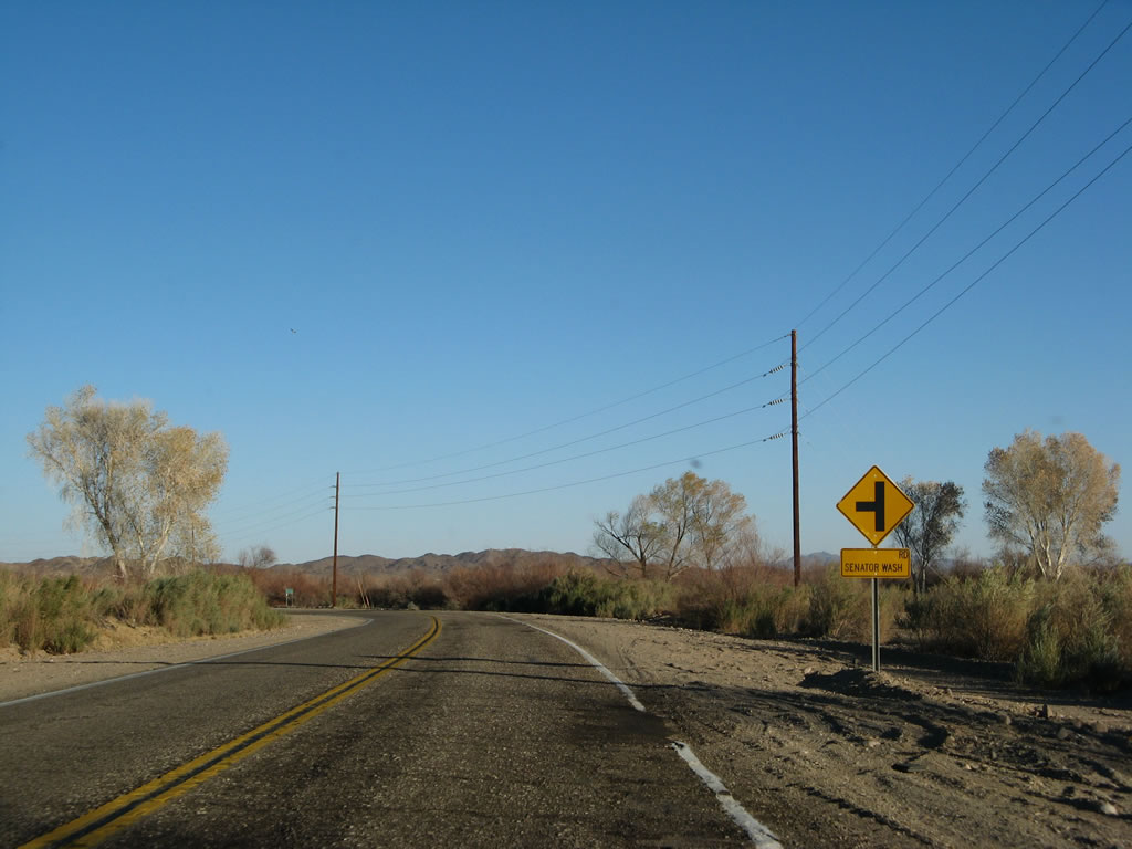
| Imperial Road approaches Senator Wash Road north toward Imperial Dam and the Senator Wash and Squaw Lake recreational areas on Imperial Reservoir. 01/15/07 |
|
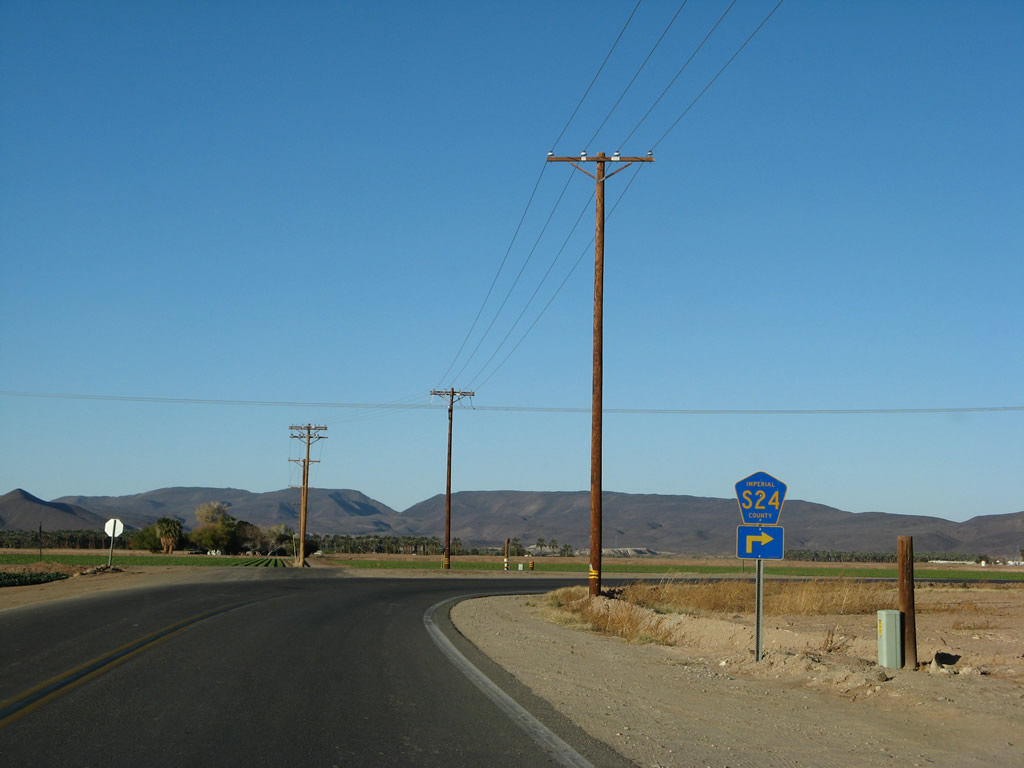
| Imperial County S-24 curves northeast toward Arizona at this point. 01/15/07 |
|
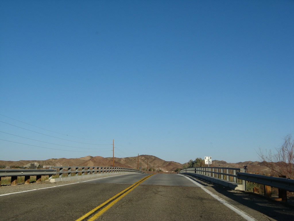
| Crossing over the channelized Colorado River along Imperial Road north. The Arizona state line parallels this section of the river just to the east. 01/15/07 |
|
| Imperial County S-24 ends at the Arizona state line. Imperial Dam Road continues the road east to Hidden Shores Resort RV park, the Yuma Proving Grounds and U.S. 95. 01/15/07 |
Page Updated 08-14-2017.