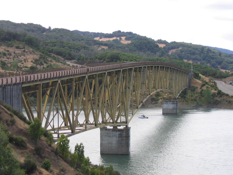
Rockpile Road crosses Lake Sonoma along a steel arch bridge just west of County Road C-1 (Skaggs Springs Road). Photo taken 05/25/06.
Unsigned Sonoma County C-1 follows Canyon Road west from U.S. 101 in Alexander Valley toward Lake Sonoma. The route jogs to the large reservoir by way of Canyon Road, Dry Creek Road, and Stewarts Point-Skaggs Springs Road. The mountainous route travels 41.6 miles overall from Geyserville to Los Lomas and California 1 at Stewarts Point.
|
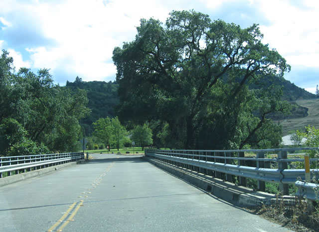
| Leaving the Lake Sonoma recreation area, eastbound Sonoma County C-1 follows Dry Creek Road, crossing over the spillway for Lake Sonoma. 05/25/06 |
|
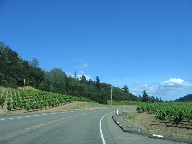
| Vineyards line both sides of Dry Creek Road as it travels southeast toward Canyon Road and U.S. 101. 05/25/06 |
|
| Eastbound Sonoma County C-1 (Dry Creek Road) approaches Yoakim Bridge Road south toward Bradford Mountain. 05/25/06 |
|
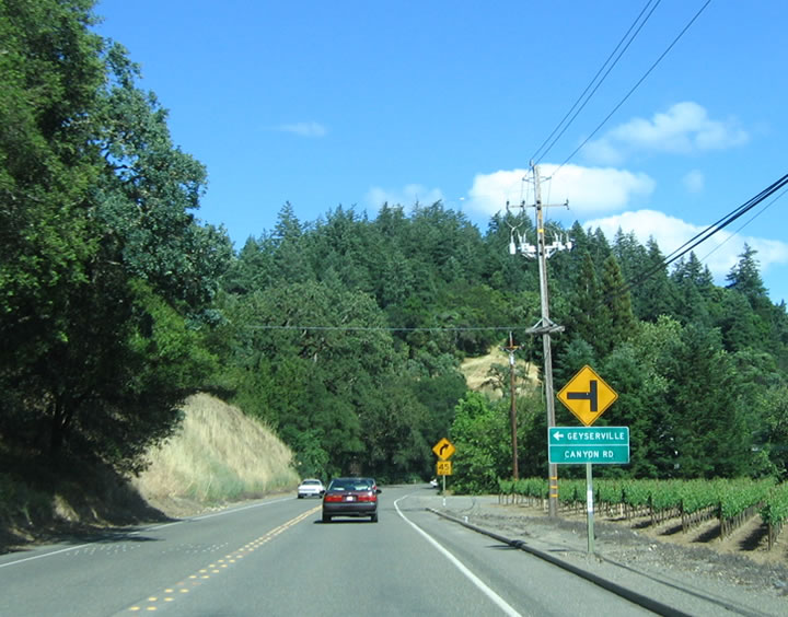
| Unsigned CR C-1 turns east onto Canyon Road toward U.S. 101 and Geyserville. Dry Creek Road continues southward to Healdsburg. 05/25/06 |
|
| Advancing east along Canyon Road, farms and ranch-style houses line both sides of Sonoma County C-1. 05/25/06 |
|
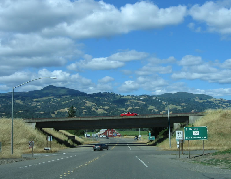
| Eastbound Sonoma County C-1 comes to an end as Canyon Road approaches U.S. 101 and SR 128 near Geyserville. 05/25/06 |
|
| The second ramp connects to U.S. 101 north and SR 128 west to Cloverdale, while Canyon Road continues into Geyserville as SR 128 east. 05/25/06 |
|
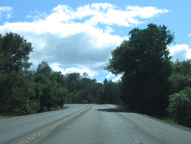
| Leaving the diamond interchange with U.S. 101 (Redwood Highway), unsigned County Road C-1 traverses foothills separating Alexander Valley from the Dry Creek valley. 05/25/06 |
|
| Westbound Sonoma County C-1 (Canyon Road) meets Dry Creek Road, where the county road turns north toward Lake Sonoma. 05/25/06 |
|
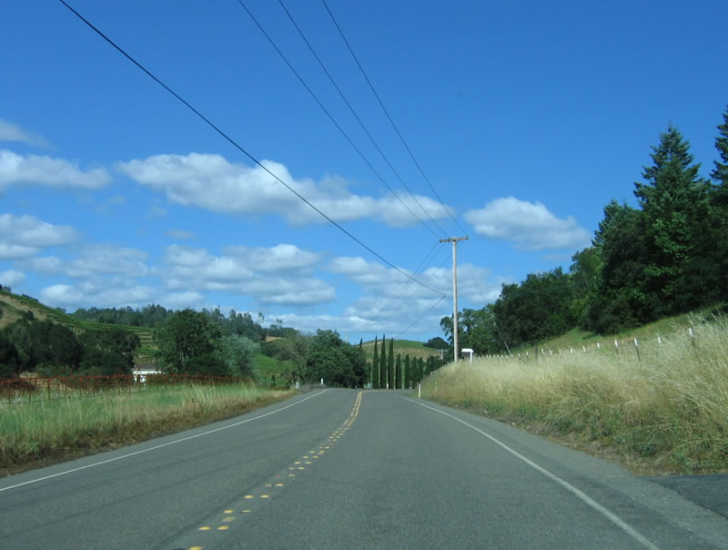
| Dry Creek Road hugs the western foothills north from Canyon Road toward Lake Sonoma. Agricultural areas and vineyards spread westward to parallel Dry Creek. 05/25/06 |
|
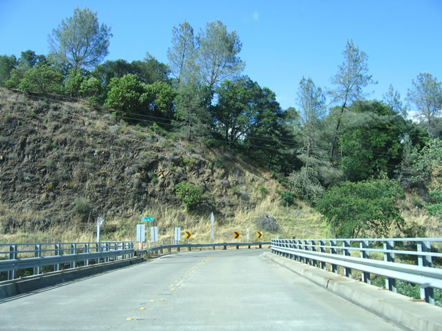
| Warm Springs Dam comes into view at the hairpin turn along CR C-1 preceding the bridge over Dry Creek. 05/25/06 |
|
| Spanning the spillway from Lake Sonoma along Dry Creek Road west. 05/25/06 |
|
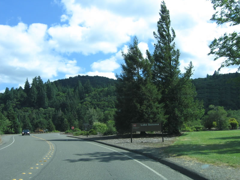
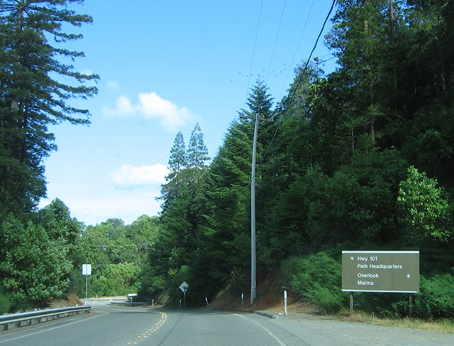
| Entering the Lake Sonoma recreation area (U.S. Army Corps of Engineers), the county road transitions onto Stewarts Point-Skaggs Springs Road. 05/25/06 |
|
| Stewarts Point-Skaggs Springs Road ascends the grade to the top of the reservoir. 05/25/06 |
|
| Sonoma County C-1 turns southward at Rockpile Road as it continues west 35 miles to SR 1, Rockpile Road extends west to the Lake Sonoma recreation area. 05/25/06 |
|
| Beyond the split with Stewarts Point-Skaggs Springs Road, Rockpile Road crosses a towering steel arch bridge over Lake Sonoma. The span connects CR C-1 with a marina and other facilities on the northern side. 05/25/06 |
|
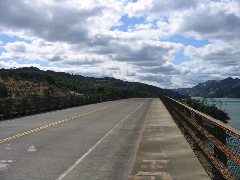
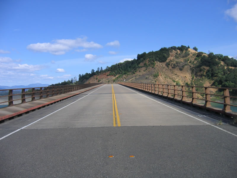
| Sidewalks for pedestrians are in place on both sides of Rockpile Road as it travels high above Lake Sonoma. The steel arch bridge was completed in 1973. 05/25/06 |
|
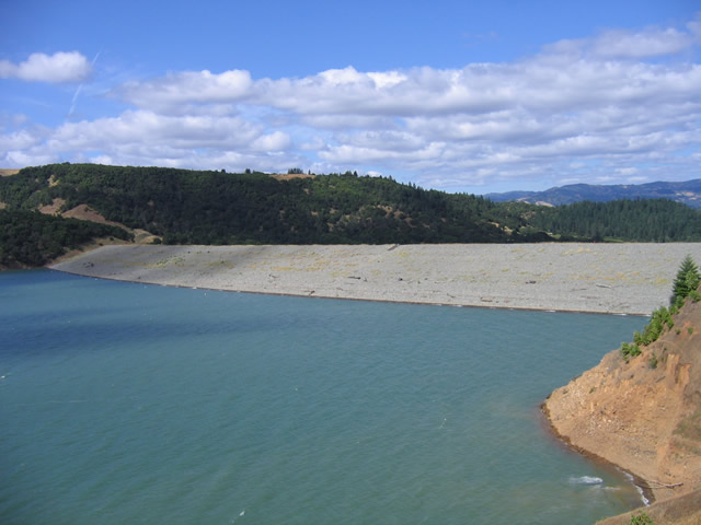
| The blue-green waters of Lake Sonoma are impounded by Warm Springs Dam. 05/25/06 |
|
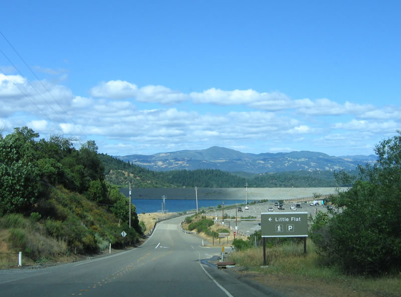
| Eastbound Rockpile Road approaches the Little Flat parking area. 05/25/06 |
|
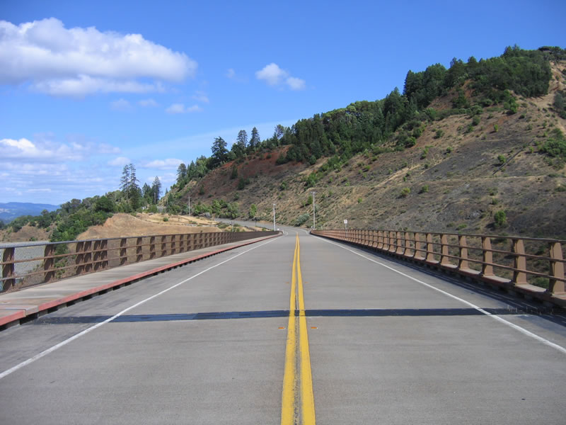
| Views of Rockpile Road looking eastbound across the steel arch bridge. 05/25/06 |
|
| Rockpile Road east ties into the turn of CR C-1 (Skaggs Springs Road) south of Warm Springs Dam. 05/25/06 |
Page Updated 08-15-2017.