

California 220 is 6.4 mile long route that serves communities and farmland within the California Delta. Originating at California 84 by Miner Slough, the state route plies east across Ryer Island to Steamboat Slough. A short cable ferry carries motorists across the north-south waterway. California 220 takes a winding course east from Howard Landing to California 160 at Ryde across agricultural areas on Grand Island.
The J-Mack Ferry across Steamboat Slough operates year-round and is one of two ferries on the state highway system. The other is located 4.7 miles south of the California 220 west end on California 84, where it crosses the Sacramento River Deep Water Ship Channel.
| SR 220 east |
 | SR 220 runs 0.4 miles south along the east side of Steamboat Slough between the J-Mack Ferry landing and the eastern turn from Grand Island Road. 06/19/01 |
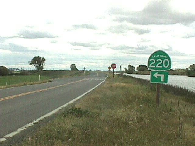
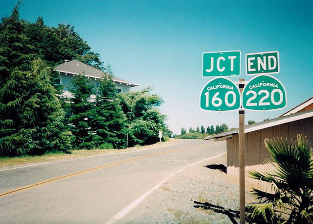 | Eastbound SR 220 concludes 2.7 miles east of Howards Landing at SR 160 in the settlement of Ryde. 03/29/01 |
| SR 220 west |
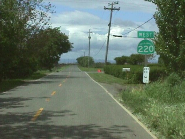
 | Approaching the J-Mack Ferry along SR 220 westbound from Howards Landing. 06/19/01 |
 | Reassurance marker for SR 220 posted at Solano County postmile 3 west of Ryer Road and the J-Mack Ferry. 06/19/01 |
Photo Credits:
03/29/01, 06/19/01 by Joel Windmiller
Connect with:
State Route 160
Page Updated 06-26-2018.