California 93 is a state route legislatively defined to include three distinct sections. The first section of proposed California 93, as defined in the state Streets and Highways Code, would link a point in Moraga (at unconstructed California 77) with California 24 in Orinda. The second segment would link California 24 and Interstate 80 via an alignment approximately parallel to San Pablo Dam Road. These two segments are unlikely to be built anytime soon, if at all.
The third segment, which has a nearly-suitable arterial/expressway along the approximate path, exists as the Richmond Parkway. This route is not a state route at this time, even 511 travel information signs along the route imply that the Richmond Parkway is already California 93 by using the route number on their sign codes.
Richmond Parkway is maintained by the city of Richmond and Contra Costa County, based on whether the parkway is within the urban limits of Richmond or not. As of 2008, Richmond Parkway consists of 9.5 miles, 18 traffic signal systems, a 2,200-foot long viaduct near Giant Highway, 400 drainage structures, 500 street lights, two pump stations, four grade separations, and 12 acres of landscaping.
Some of the key dates in the development of the Richmond Parkway are highlighted below:1, 2, 3, 4
- 1958 - The legislative definition of California 93, which includes what is now Richmond Parkway, was approved by the California state legislature and added to the state Streets and Highways Code in 1958 and modified in 1963 to reflect the consolidation of legislative and state signed numerical designations.
- 1986 - The Route 93 Committee (a Joint Exercise of Powers Agency between the County, local cities, and redevelopment agencies) formed to sponsor construction of the Richmond Parkway portion.
- 1988 - Funding for the parkway started to become identified, including bridge tolls (SB 45) funds due to the parkway' role in bringing traffic to the Richmond-San Rafael Bridge and the passage of Measure C, a one-half cent sales tax dedicated to transportation.
- 1990 - A project study report for the parkway was completed, and construction followed soon thereafter.
- 1992 - Caltrans and the city of Richmond entered a cooperative agreement that would leave Richmond Parkway under local jurisdiction but also would leave the door open for future consideration of state takeover of the route should improvements bring the parkway to state standards.
- 1996 - Completion of the Richmond Parkway (including Castro Street, which is considered to be part of the parkway as part of the primary route to Interstate 580 west) in six segments at a cost of $193 million. The parkway is largely constructed at urban arterial standards with a 45 mile-per-hour speed limit.
- 1998 - Caltrans issues a letter on April 30, 1998, stating that it would not assume responsibility for the Richmond Parkway as part of California 93 unless the Richmond Parkway is brought up to expressway standards due to the fact that the state Streets and Highways Code defines California 93 as part of the state' freeway and expressway system.
- 2008 - Study completed suggesting that the conversion of Richmond Parkway to state expressway standards would cost $262 million and the conversion to urban arterial standards would cost $94 million. The study advised that the expressway conversion would be cost prohibitive and that unless Caltrans allowed takeover of the Richmond Parkway as an urban arterial rather than an expressway, it would likely remain an asset of the city of Richmond and Contra Costa County.
- 2011 - Project to upgrade Richmond Parkway to urban arterial standards in order to transfer route to Caltrans is abandoned due to lack of funding. The project could be resurrected if additional funding for the upgrade is identified (aside from a very small amount added to the project from the 2011 Measure J transportation sales tax).
According to the February 2008 Richmond Parkway Upgrade Project Final Summary Report, the city of Richmond preffered to transfer Richmond Parkway to the state given its role in linking Interstates 80 and 580. However, the state did not accept maintenance of the previously constructed Richmond Parkway facility because it did not meet state expressway standards. Costs at the time to bring the parkway up to those standards was $262 million. It was viewed as cost prohibitive. However, other improvements related to bringing the parkway to urban arterial standards as identified in the 2008 report and incorporated into the 2011 Measure J sales tax may be completed as funding is identified.1
|
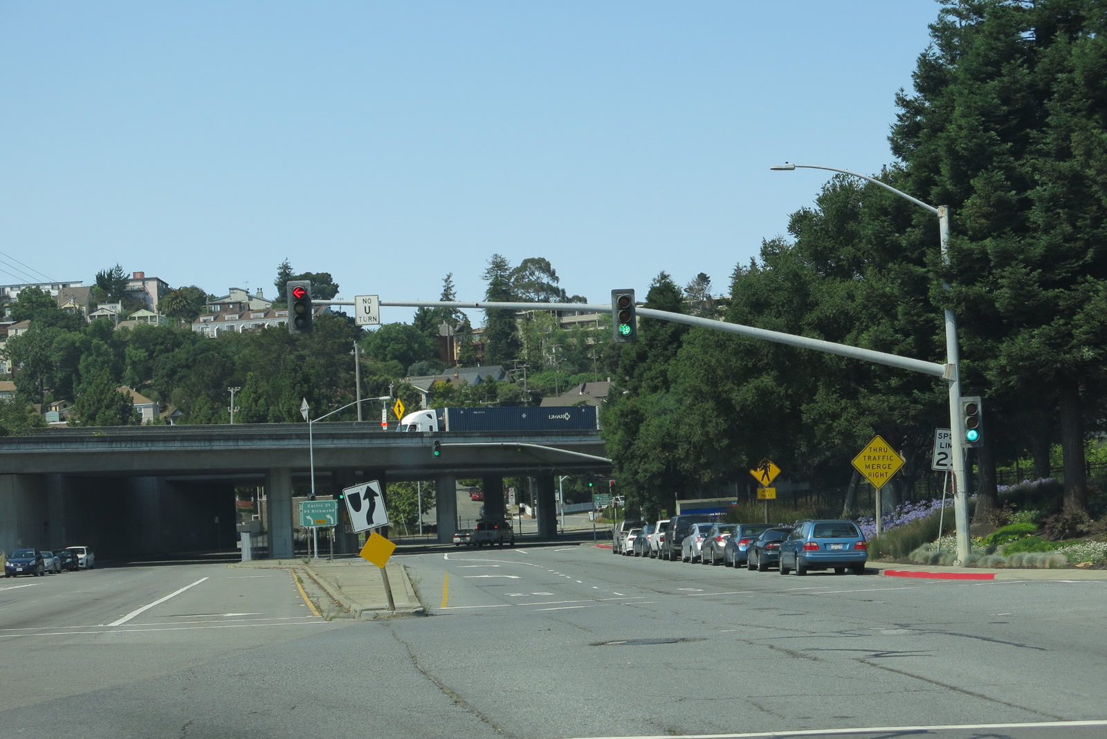
| Richmond Parkway extends west from Fitzgerald Drive and a commercialized parclo interchange (Exit 20) with Interstate 80. 07/02/13 |
|
| Leading away from I-80, Richmond Parkway west enters the Hilltop District. The landscaped parkway accommodate four lanes of traffic, with select six lane segments. Wayfinding signs line this stretch for Hilltop Mall, business park, Hilltop Lake Park, and Point Pinole Regional Park. 07/02/13 |
|
| Richmond Parkway west next meets the signalized entrance (Sierra Ridge Road) to the Bella Vista at Hilltop apartment community. This style of signal mast arm is typical of those found along Richmond Parkway. 07/02/13 |
|
| Lakeside Drive stems south from Richmond Parkway into an office park. The entrance to Parkway Business Center ties in from the north. 07/02/13 |
|
| A trailblazer precedes San Pablo Avenue, directing motorists to remain along Richmond Parkway west to Point Pinole Regional Shoreline, which is part of East Bay Regional Park District. 07/02/13 |
|
| San Pablo Avenue is the historic route of U.S. 40, which predates Interstate 80 and the Eastshore Freeway. U.S. 40 traveled north toward Hercules and Rodeo and south toward Downtown Richmond and eventually Berkeley and Emeryville. 07/02/13 |
|
| The unnumbered parkway curves southwest after the San Pablo Avenue intersection around the San Marcos Apartment community. 07/02/13 |
|
| Atlas Road winds westward from Richmond Parkway to Point Pinole Regional Shoreline along San Pablo Bay. 07/02/13 |
|
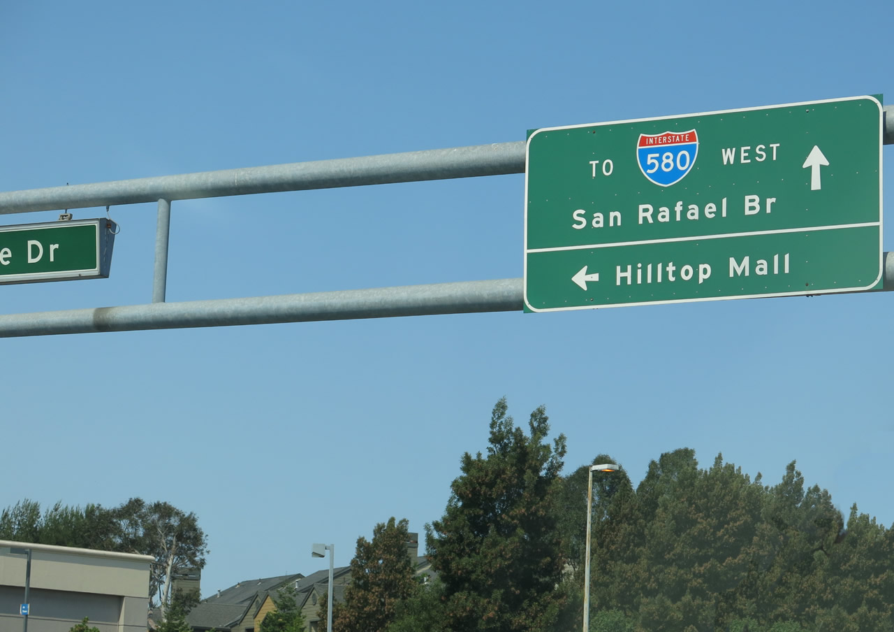
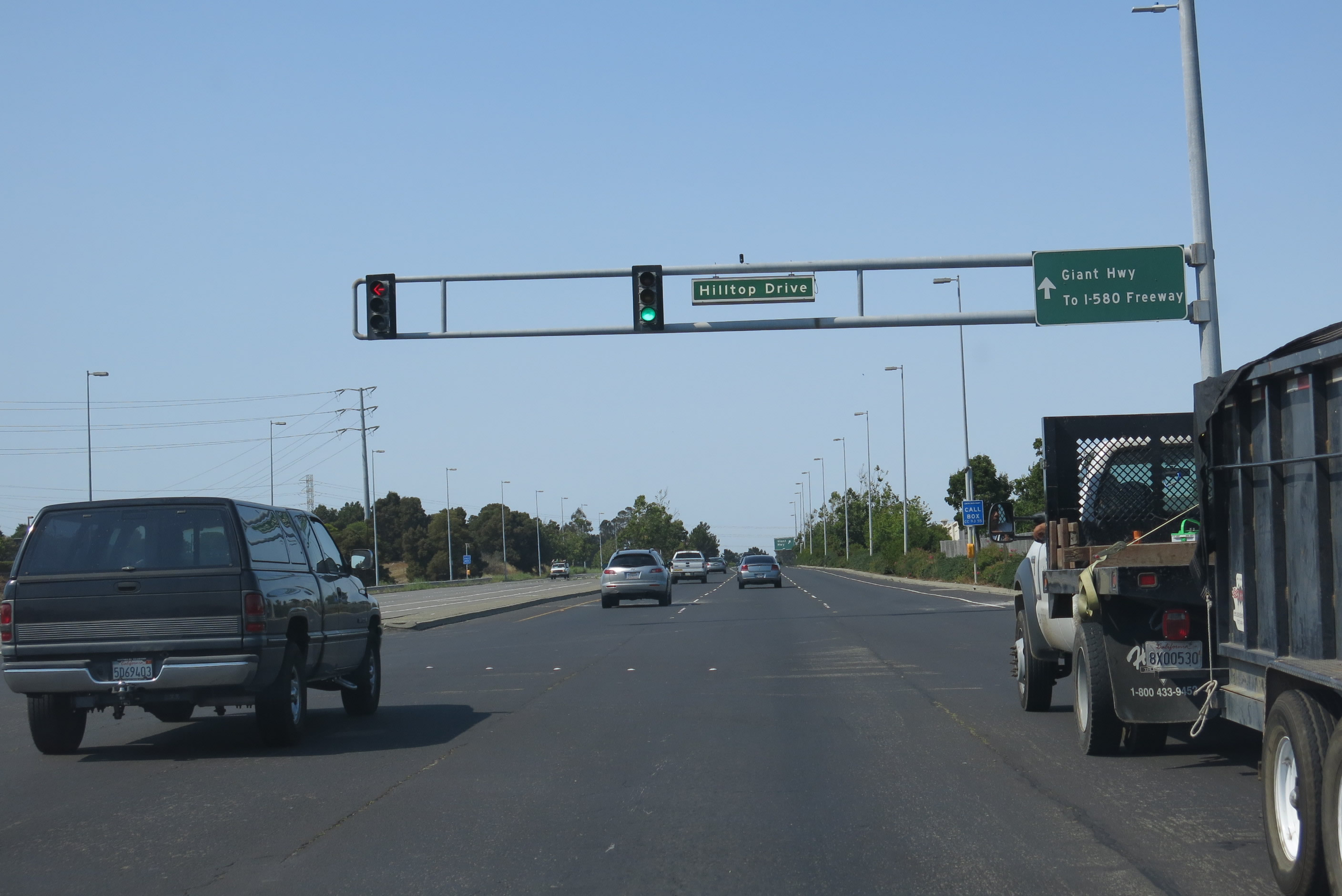
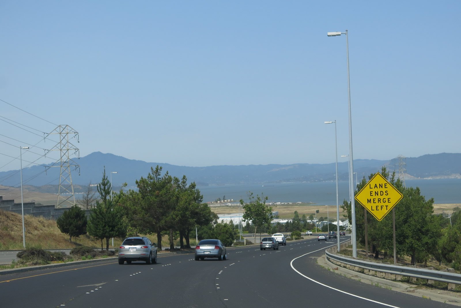
| The succeeding traffic light along along westbound Richmond Parkway is at Hilltop Drive, an arterial curving east to Hilltop Mall. An adjacent call box sign, since replaced with a 511 travel information sign, was the lone reference of SR 93 posted along Richmond Parkway. 07/02/13 |
|
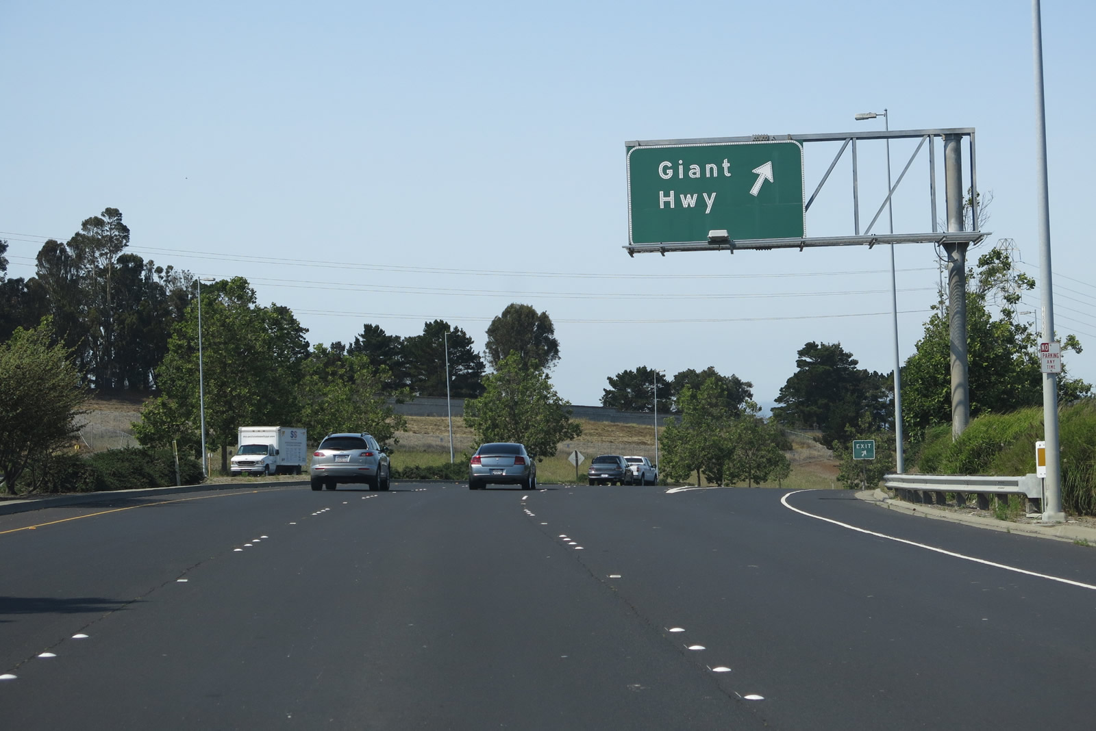
| A trumpet interchange and access road links Richmond Parkway with Giant Highway. Giant Highway is an arterial that links industrial areas of north Richmond. 07/02/13 |
|
| San Pablo Bay, and other cross-bay landmarks such as Mount Tamalpais in Marin County, come into view as Richmond Parkway passes through the Giant Highway interchange and begins to descend toward the bayshore. A Pacific Gas and Electric power line passes overhead in this area. 07/02/13 |
|
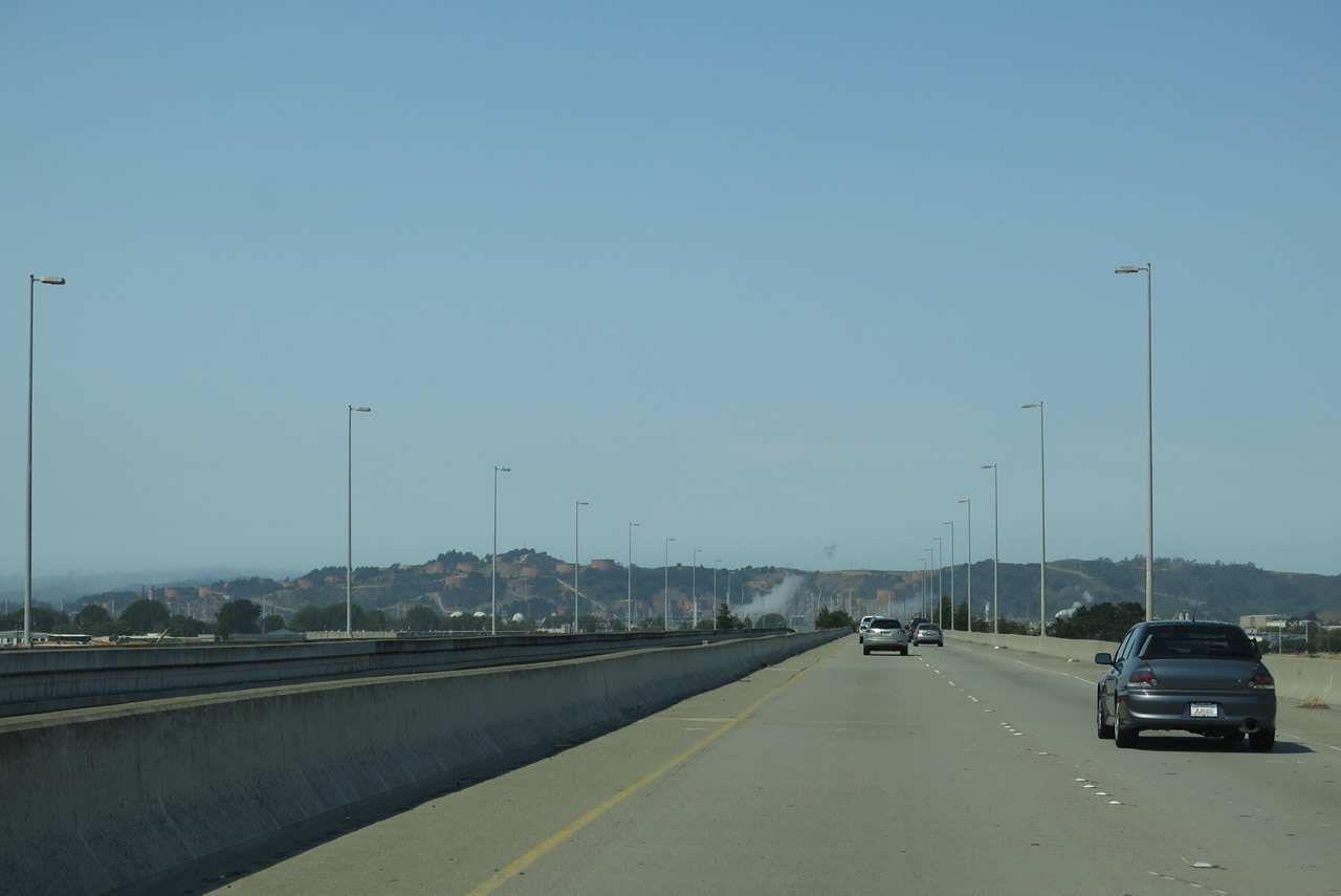
| Richmond Parkway angles southwest along a 2,220 feet long viaduct across Giant Highway, railroad tracks and a flood plain. 07/02/13 |
|
| A look to the northwest shows San Pablo Bay, with its relatively undeveloped shoreline, and a lone Pacific Gas and Electric power line. 07/02/13 |
|
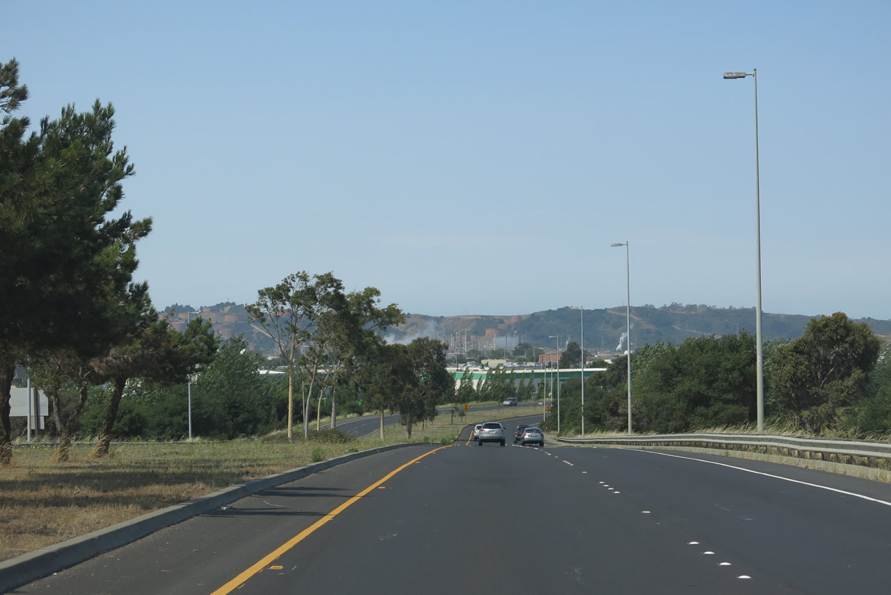
| The parkway returns to grade through an industrial area stark in contrast to the previous stretch through residential and commercial back at the Hilltop District. 07/02/13 |
|
| Goodrick Avenue stems north from Parr Boulevard to intersect Richmond Parkway at this traffic signal. 07/02/13 |
|
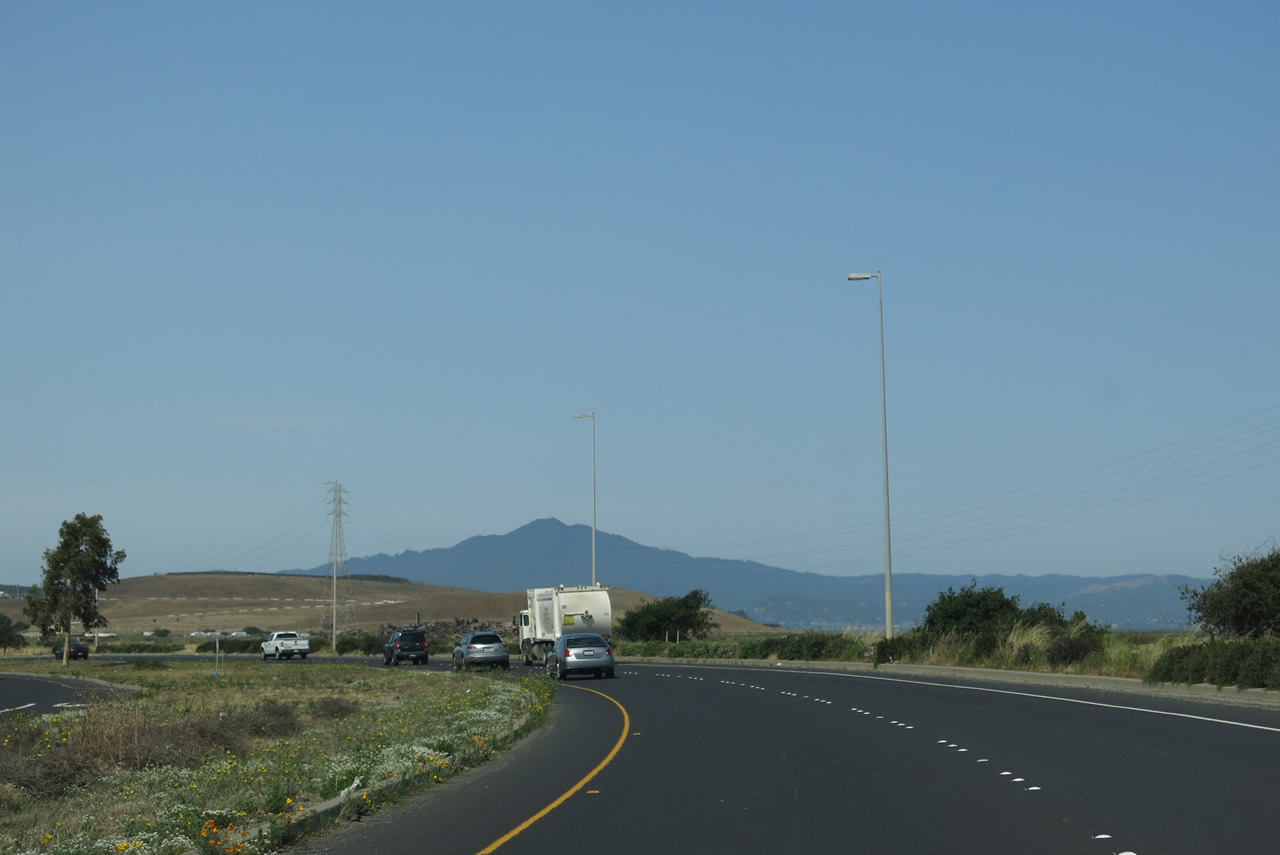
| Richmond Parkway turns southwest after Goodrick Avenue along the periphery of San Pablo Bay. 07/02/13 |
|
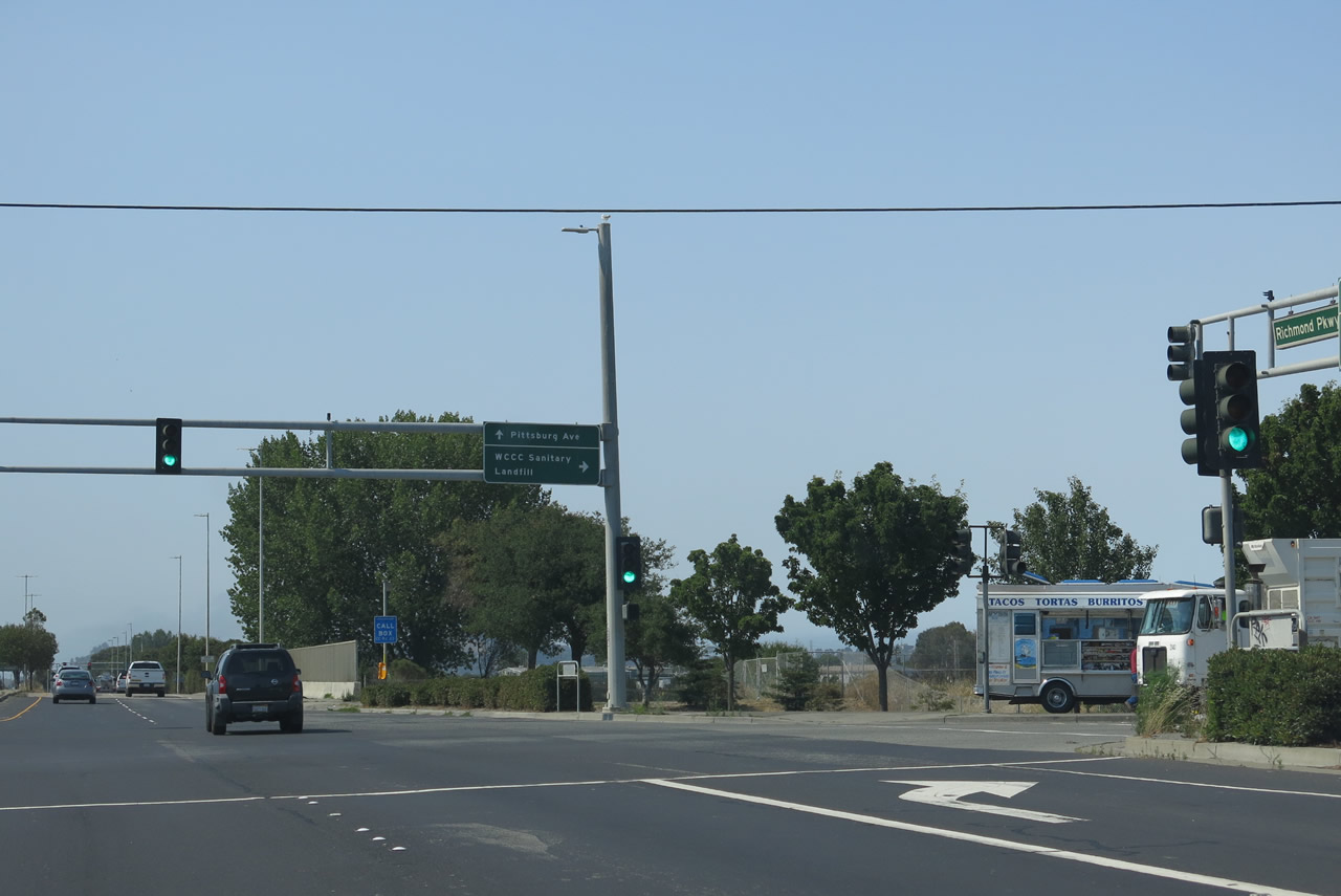
| Parr Road heads west from neighborhoods east of Giant Highway to meet Richmond Parkway across from the West Contra Coast Sanitary Landfill. 07/02/13 |
|
| Crossing San Pablo Creek, Richmond Parkway travels due south through the industrialized west end of Richmond to a signalized intersection with Pittsburg Avenue. 07/02/13 |
|
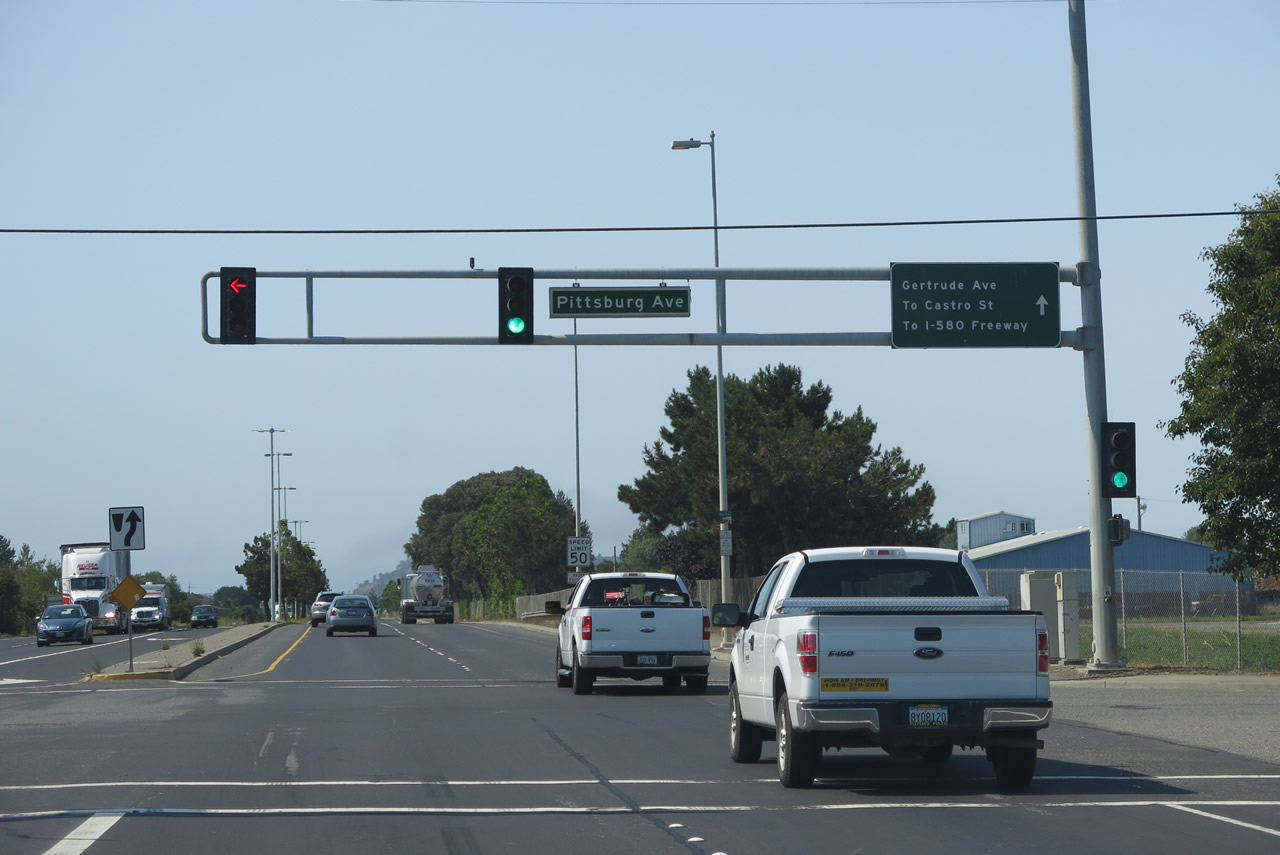
| Richmond Parkway south continues uninterrupted from Pittsburgh Avenue across Wildcat Creek to Gertrude Avenue. 07/02/13 |
|
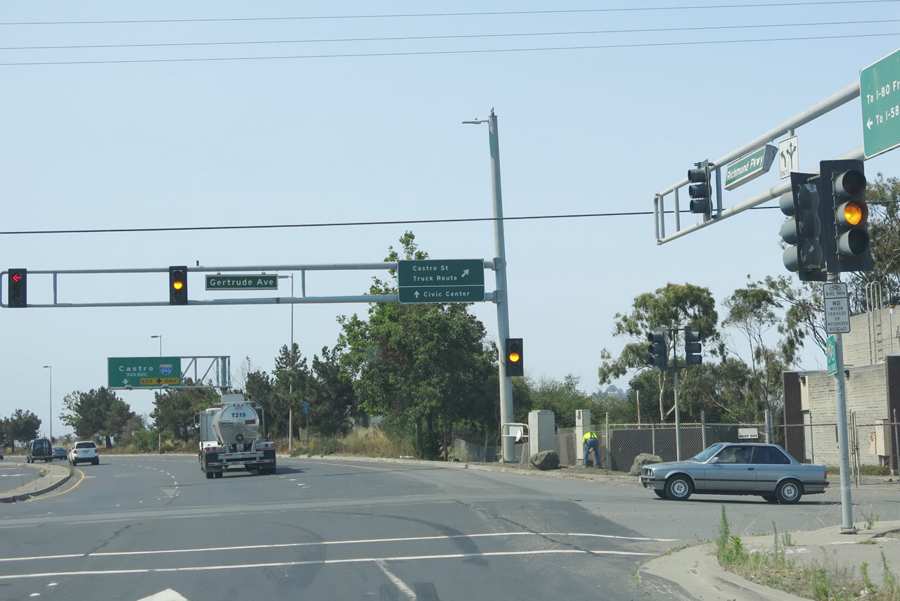
| Gertrude Avenue heads east from industrial areas west of Richmond Parkway into a residential street grid to Shields Reid Park. 07/02/13 |
|
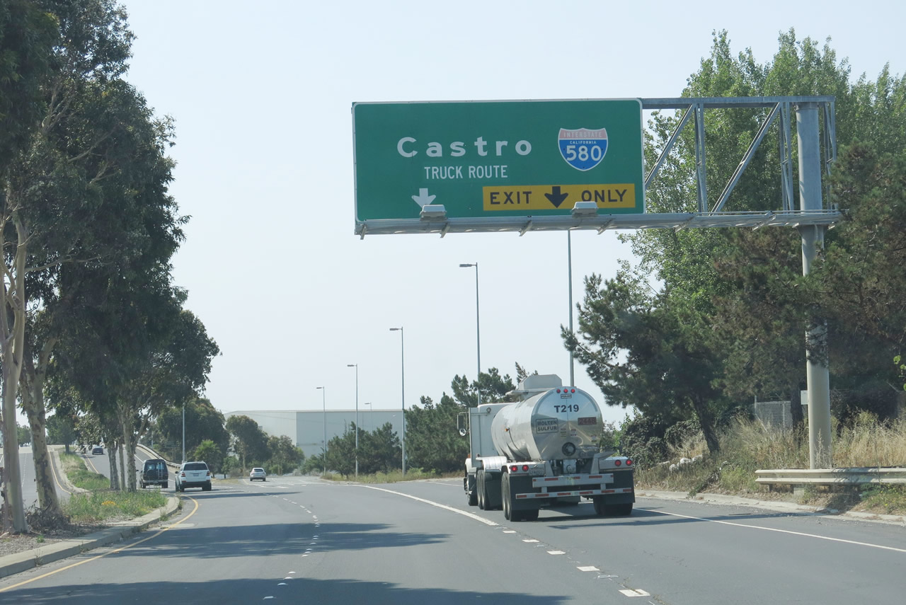
| A wye interchange separates truck traffic headed for Interstate 580 to Castro Street southwest. Both Castro Street and Richmond Parkway meet I-580. 07/02/13 |
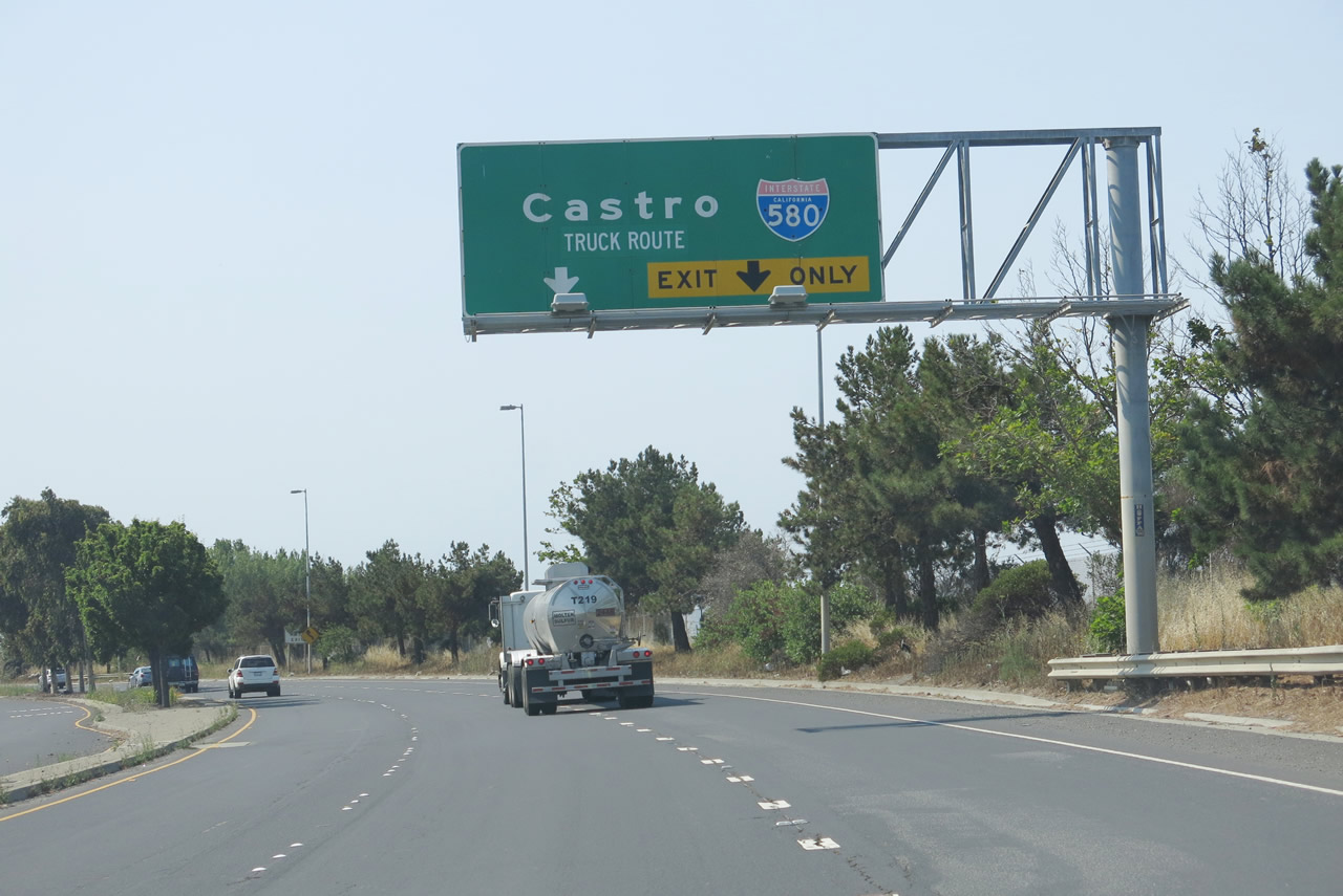
|
| Castro Street and Richmond Parkway both travel southwest from this point to Interstate 580, with Castro Street staying northwest of a nearby railroad and yard, and Richmond Parkway running along the east side. Prior to the Richmond Parkway construction project from the early 1990s, the remaining portion of Richmond Parkway was originally named as Garrard Boulevard.2 07/02/13 |
|
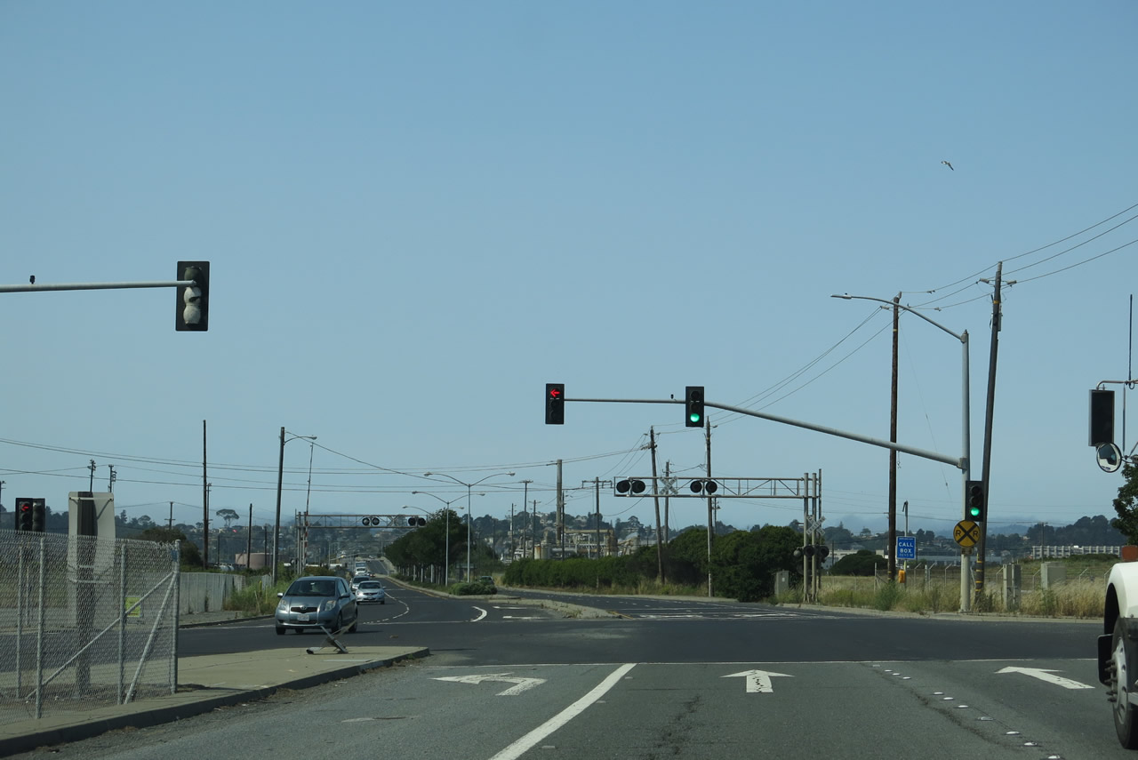
| A signalized intersection with Hensley Street and railroad crossing lie just south of the ramps from Richmond Parkway along Castro Street south. 07/02/13 |
|
| Design features of Castro Street are somewhat different than the rest of Richmond Parkway, even though Castro Street was improved to this condition as part of the 1990s project to construct the Richmond Parkway. Castro Street is considered to be Segment 1 of the Richmond Parkway project.2 07/02/13 |
|
| The subsequent traffic signal operates at Richmond Lane, an entrance to one of the nearby chemical plants. 07/02/13 |
|
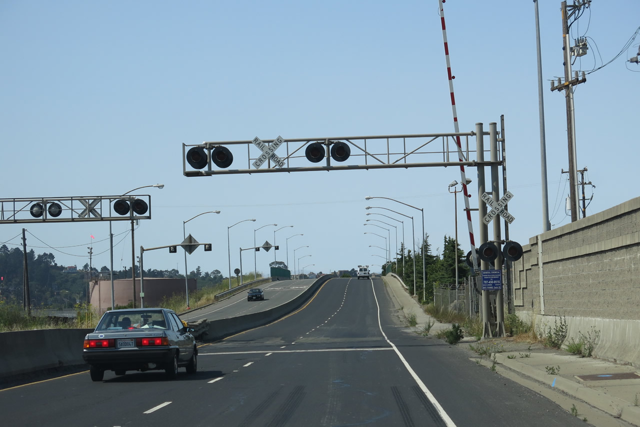
| A railroad spur into a chemical plant crosses Castro Street at-grade south of Richmond Lane. 07/02/13 |
|
| Additional railroad spurs serve various industrial facilities west of Castro Street below this overpass. 07/02/13 |
|
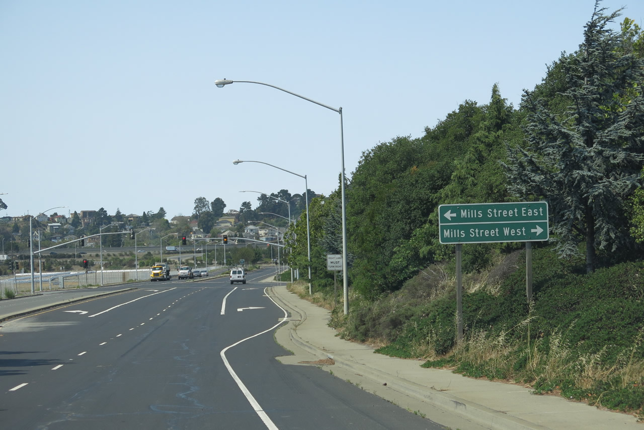
| Mills Street intersects Castro Street a quarter mile south of the railroad underpass. 07/02/13 |
|
| A parclo interchange joins Castro Street with Interstate 580 at another entrance to the industrial facilities. 07/02/13 |
|
| A loop ramp takes drivers west from Castro Street to the Richmond San Rafael Bridge. The eastbound on-ramp departs from Tewksbury Avenue, east from Castro Street. The Ferry Point Tunnel (built in 1899), which follows Garrard Boulevard (and Dornan Drive) south of Interstate 580 through Point Richmond, connects to the Miller-Knox Regional Shoreline, a unit of East Bay Parks. 07/02/13 |
Sources:
- 2011 Strategic Plan Fact Sheet - Richmond Parkway
http://www.ccta.net/assets/documents/Fact~Sheets~-~Measure~C/1300.pdf by Contra Costa Transportation Authority dated December 2011.
- Richmond Parkway Upgrade Project Final Summary Report
http://www.ccta.net/assets/documents/Available~Publications/Studies~and~EIRs/Richmond%20Parkway%20Upgrade%20Project.pdf by Contra Costa Transportation Authority dated February 2008.
- Section 3.5: Richmond Parkway Action Plan.
http://www.ccta.net/assets/documents/Action~Plan/Final%202009%20WCCTAC%20Action%20Plans.pdf
- Measure J Strategic Plan - July 2011 | Project Fact Sheet: Richmond Parkway Upgrade to Caltrans Standards by Contra Costa Transportation Authority.
http://www.ccta.net/assets/documents/Fact~Sheets~-~Measure~J/9002.pdf
07/02/13 by AARoads
Connect with:
Interstate 80
Interstate 580
Page Updated 08-14-2017.