
State Route 366 - Swift Trail


Arizona 366 travels from US 191 west through the Coronado National Forest up to the top of Mt. Graham and the Pinaleño mountain range. The road was added to the state highway system in 1961-62.
Arizona 366 is a winding road, with sharp curves and no guardrails. The road is quite scenic, but only paved for the first 21 miles (between miles 114 and 136). The last 7 miles are gravel, and are closed to vehicles from November 15 to April 15.
There are no reassurance markers on Eastbound Arizona 366.
Arizona 366 is designated as the Swift Trail Parkway scenic road. The road was designated as a scenic highway in 1993.
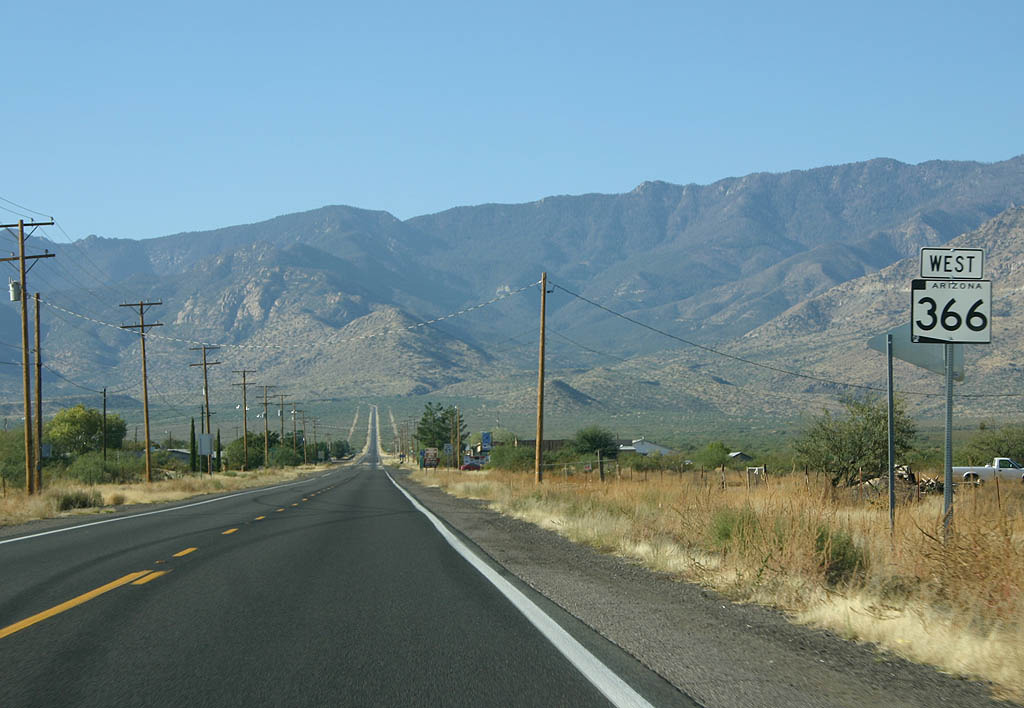
 West
West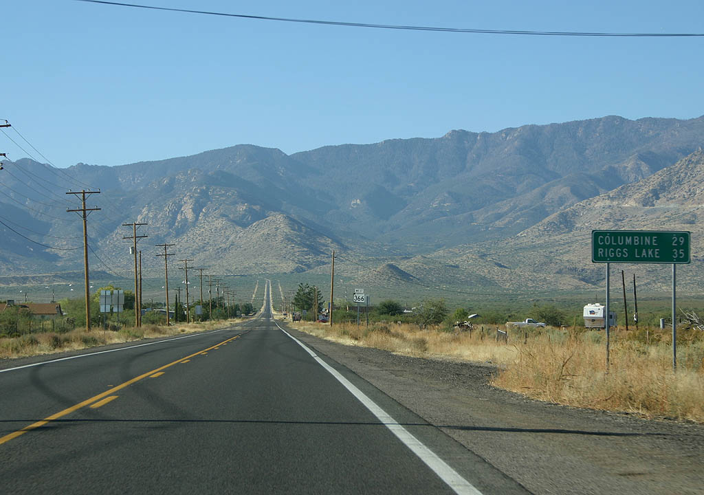
Distance sign to Columbine Ranger Station (where the state highway ends) and Riggs Lake.
11/11/07
This is the first and only reassurance marker on Arizona 366 westbound.
11/11/07

Trucks above 40 feet are not recommended along Arizona 366. There is a truck turnaround just after this sign.
11/11/07
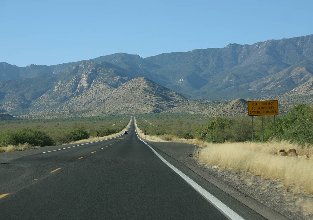
SR 366 is subject to daytime closures. This could be due to the Mt. Graham observatory located atop the mountain.
11/11/07

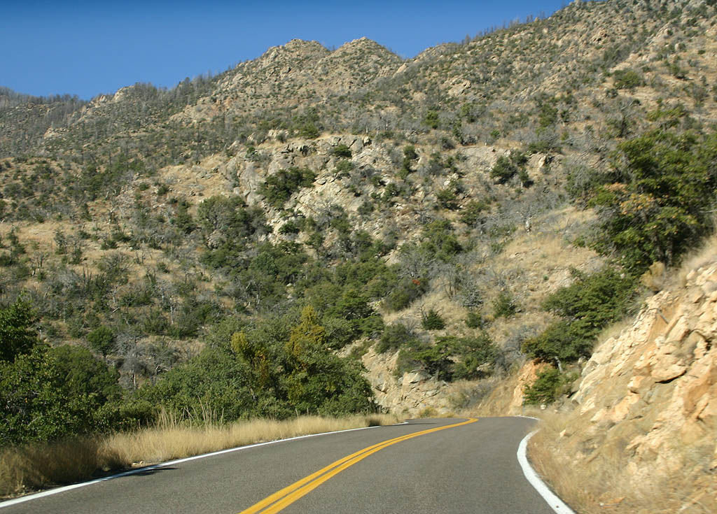
SR 366 travels around Cyclone Hill to enter Jacobson Canyon.
11/11/07
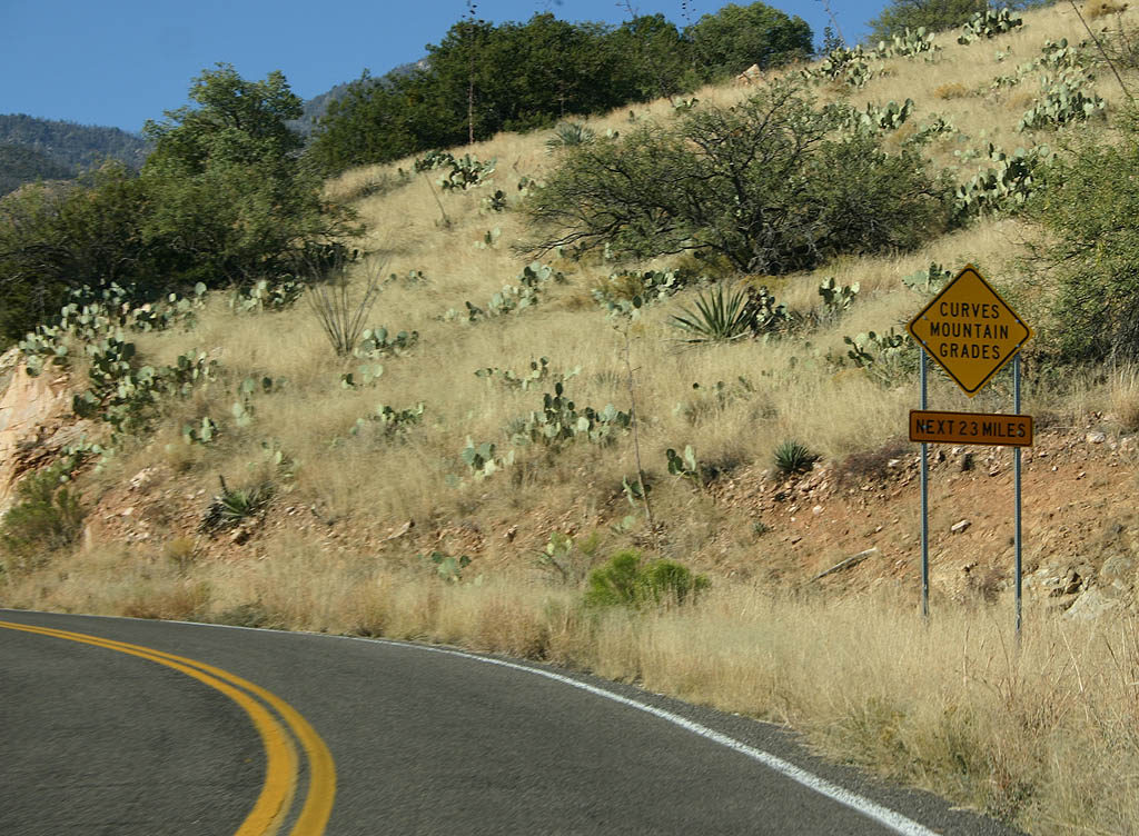
SR 366 is a winding, twisting highway as it climbs Mt. Graham. This is advance warning of the upcoming curves.
11/11/07

Perspective of SR 366 as it begins its rapid climb up Jacobson Canyon.
11/11/07
SR 366 as it begins the rapid climb up Jacobson Canyon.
11/11/07

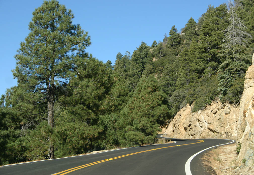
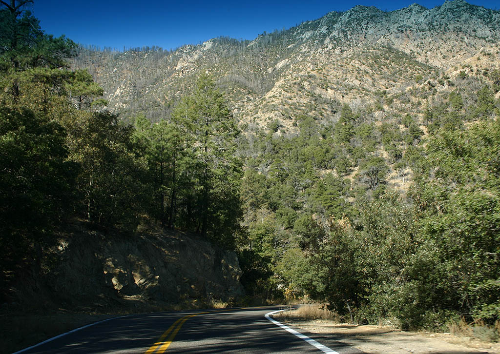
As the road heads further up the sky island, mature forests become more and more visible.
11/11/07

SR 366 features sharp curves with no guardrails, such as this one.
11/11/07

Tall trees are common on the "Sky Island" of Mt. Graham.
11/11/07
After reaching the 8500' tall Lady Bug Saddle, Arizona 366 levels out and follows the top of the mountain, with a much more gradual climb to the Ranger Station, where the road ends.
11/11/07
East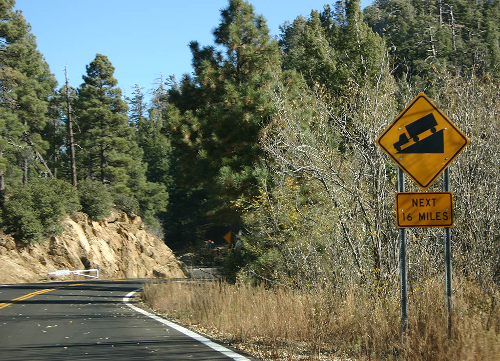
There is a downhill grade all the way from Lady Bug Recreation Area (from 8300 feet down to 2900 feet in 19 miles).
11/11/07

Distance sign to U.S. Highway 191 and Safford.
11/11/07
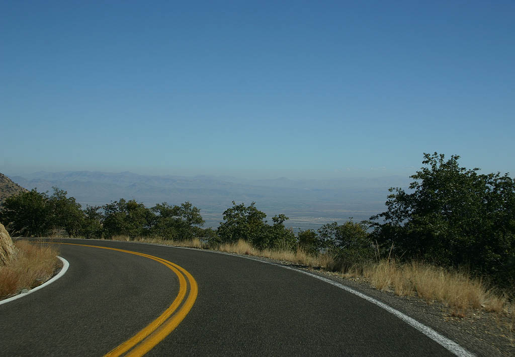
The vistas along SR 366 face all the way down to SR 191. This is one of the places where Arizona's famed clear skies can be seen quite easily.
11/11/07
As SR 366 descends from Turkey Flat, these panoramas can be seen along Twilight Creek.
11/11/07

The bridge over Wet Canyon is a one lane stone bridge.
11/11/07
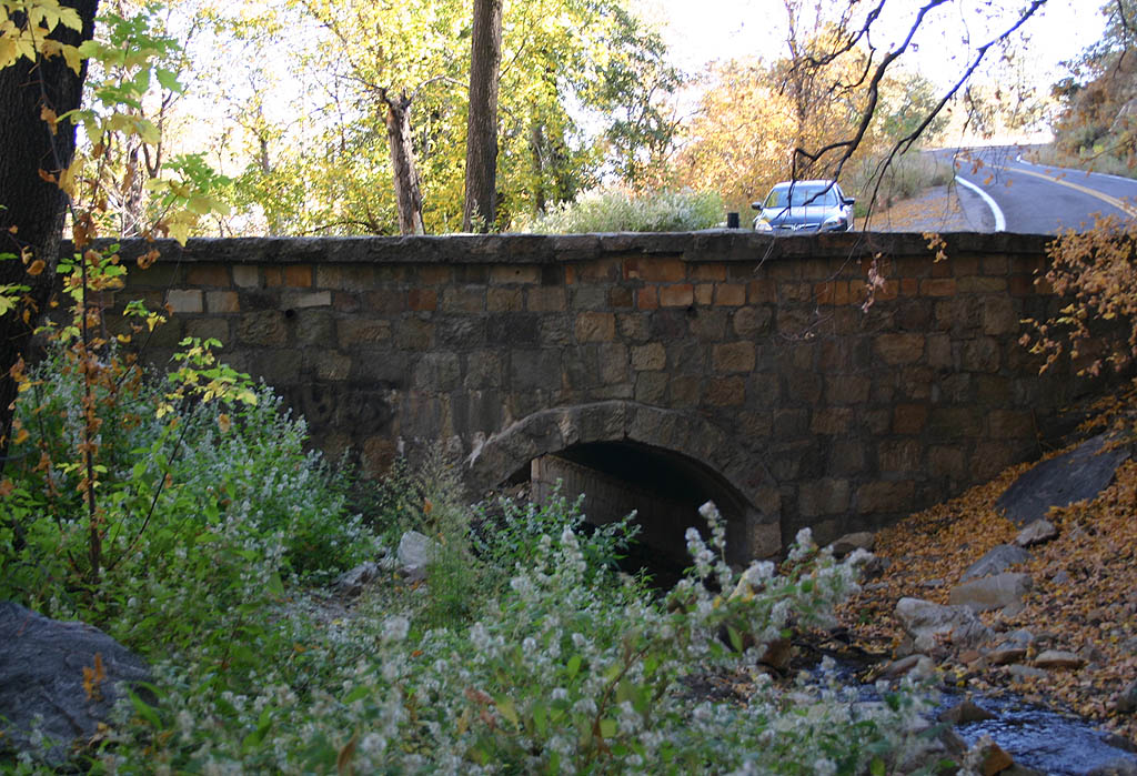
This bridge over Wet Canyon was constructed in 1936 by the CCC. Wet Canyon is a well-preserved riparian habitat, one of the few remaining in Arizona.
11/11/07

After crossing Wet Canyon, SR 366 enters the Jacobson Creek drainage.
11/11/07

While descending along the north side of the canyon, the vegetation gets less dense and more shrub-driven.
11/11/07
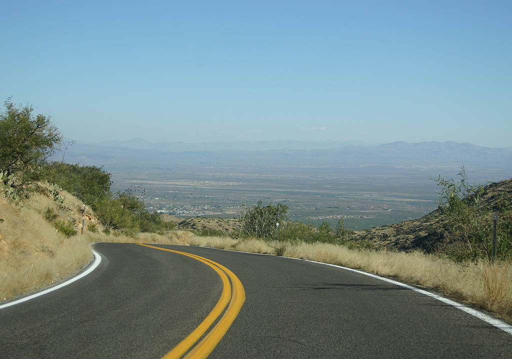
The panoramas towards the San Simon Valley are amazing from the descent of eastbound SR 366.
11/11/07

Beyond the final set of curves, SR 366 enters the broad alluvial fan as it descends towards U.S. 191.
11/11/07

Advance signage for U.S. 191, 1/2 mile.
11/11/07
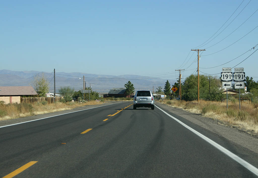
SR 366 ends at U.S. 191. Turn left for U.S. 191 north to Safford, or right for U.S. 191 to Interstate 10.
11/11/07
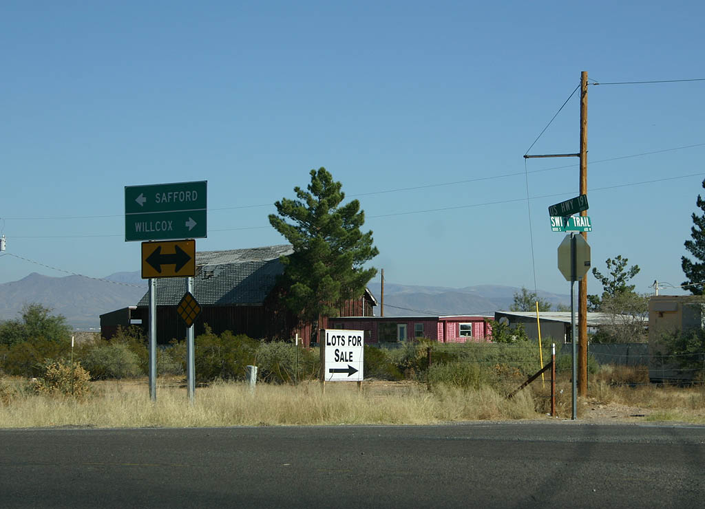
There is no end shield for U.S. 191, just this sign denoting which direction to go to Safford or Willcox.
11/11/07
Photo Credits:
- Kevin Trinkle: 11/11/07
Connect with:

Page Updated Sunday November 18, 2007.