Arizona 266 travels from US 191 west through the Coronado National Forest to the town of Bonita. The road was added
to the state highway system in 1958. There is a short spur off Arizona 266 to Fort Grant State Prison.
|
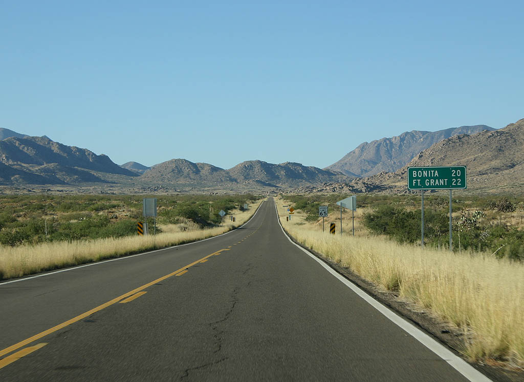
| Distance sign to Bonita (20 miles) and Fort Grant (22
miles). 11/11/07 |
|
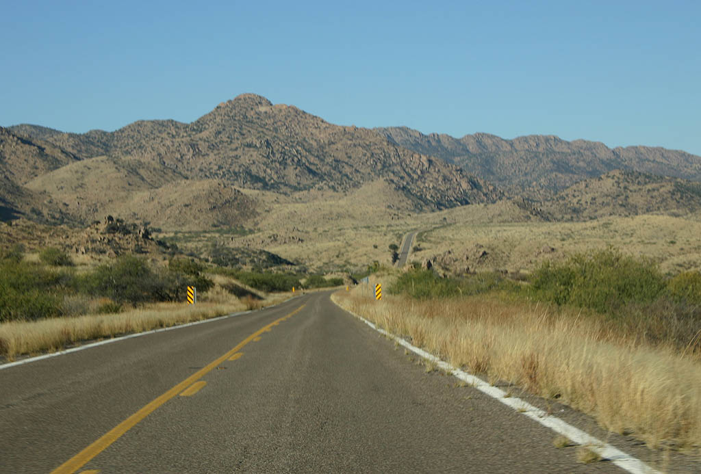
| SR 266 enters the Coronado National Forest just
after splitting off from U.S. Highway 191. 11/11/07 |
|
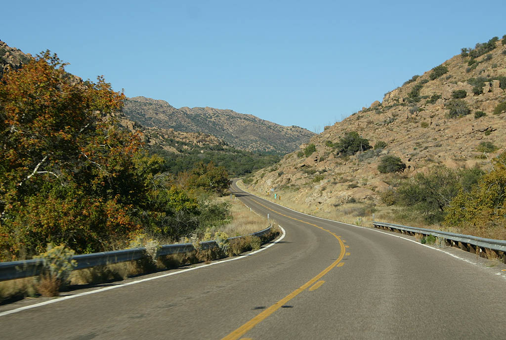
| SR 266 climbs up P Ranch Canyon around Gillespie
Mountain. 11/11/07 |
|
| Westbound SR 266 crosses Gillespie Wash here. 11/11/07 |
|
| After crossing Gillespie Wash, SR 266 climbs parallel to Stockton Pass Wash. 11/11/07 |
|
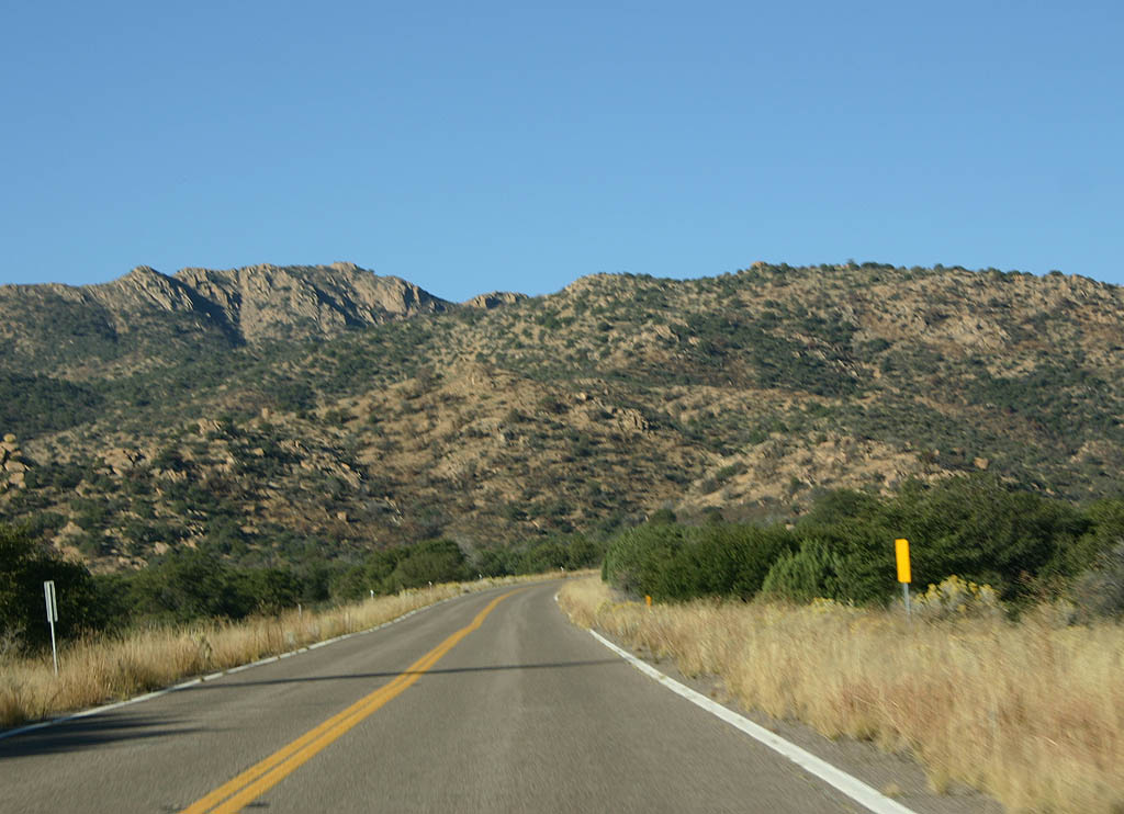
| SR 266 crosses to the CN wash drainage as it winds
around the southern slopes of Mt. Graham. 11/11/07 |
|
| Distance sign to Ft. Grant and Bonita. SR 266 is
passing through Stockton Pass, at an elevation of 5,650
feet. 11/11/07 |
|
| On the west side of Stockton Pass, SR 266 meets
the Mothers Canyon drainage. 11/11/07 |
|
| SR 266 descends a wide grassy alluvial fan as it
approaches Bonita. 11/11/07 |
|
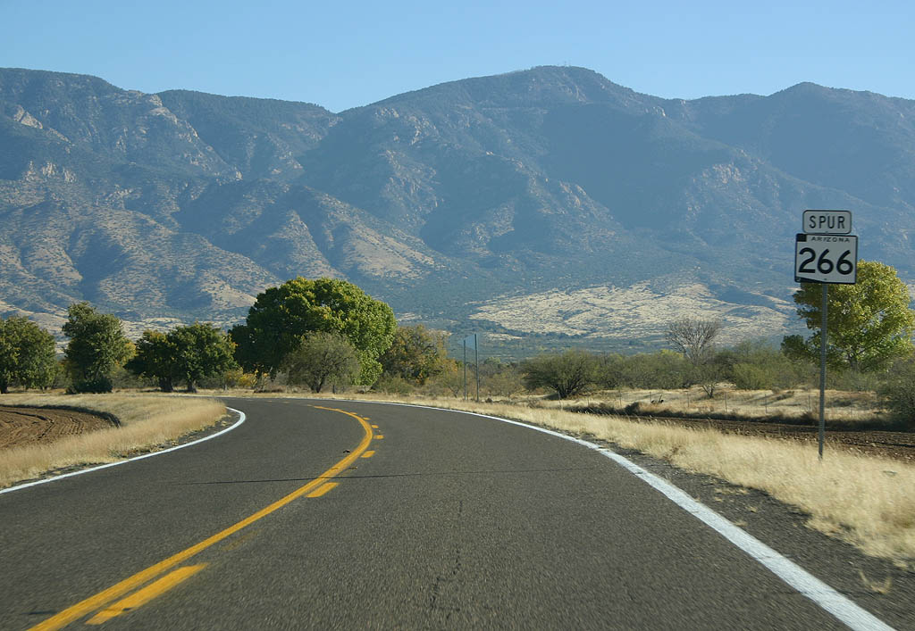
| SR 266 meets Arizona Spur 266 here. Continue west
on SR 266 to reach Bonita, or turn right to reach
Fort Grant State Prison. 11/11/07 |
|
| This sign is the first warning that SR 266 is about
to end. 11/11/07 |
|
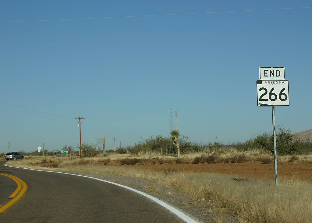
| SR 266 ends abruptly here, just east of the small
community of Bonita. 11/11/07 |
|
| SR 266 meets Arizona Spur 266 here. Turn left to
reach Fort Grant State Prison, or continue ahead to reach
U.S. 191. 11/11/07 |
|
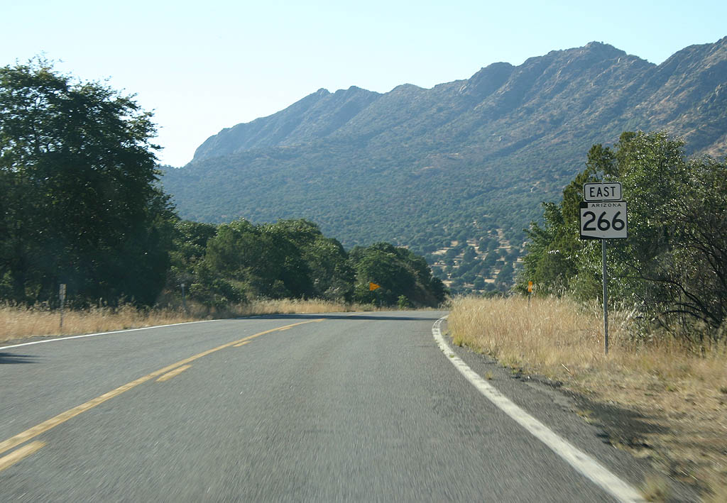
| SR 266 crosses a wide plain ahead of the Pinaleño mountain range foothills. 11/11/07 |
|
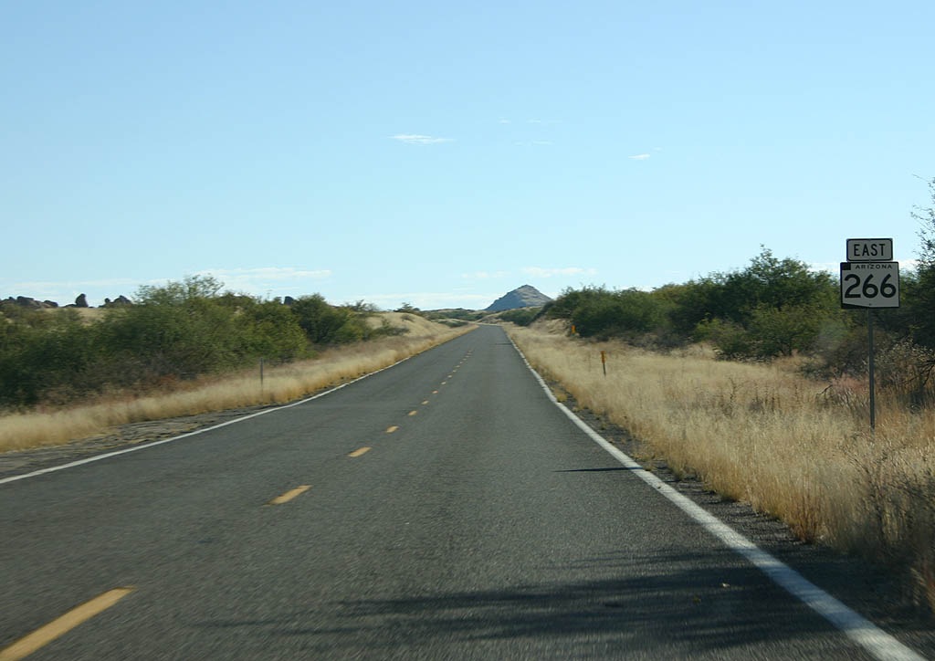
| SR 266 enters the Coronado National Forest here. 11/11/07 |
|
| Climbing up Pitchfork Canyon, we find the first Arizona
266 shield. 11/11/07 |
|
| Now in Mothers Canyon, we can see Mt. Graham off to
our left. SR 366 is several thousand feet above us
on that slope. 11/11/07 |
|
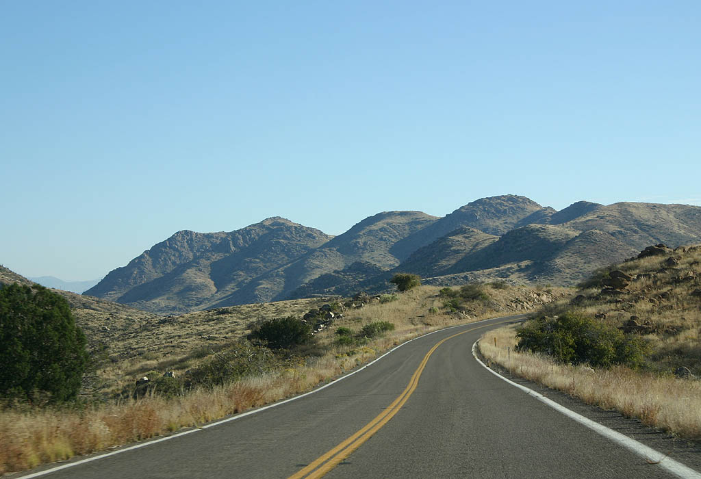
| Now at the top of Stockton Pass, we see the rugged Pinaleño
mountain range in the background. 11/11/07 |
|
| SR 266 passes through the CN Wash drainage here. 11/11/07 |
|
| SR 266 crosses Gillespie Wash here. This is the
last reassurance marker eastbound. 11/11/07 |
|
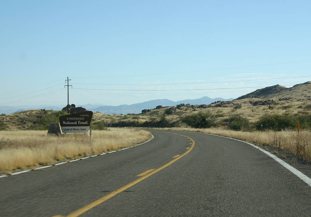
| SR 266 leaves the Coronado National Forest here. 11/11/07 |
|
| Advance signage for U.S. 191, 1/2 mile. 11/11/07 |
|
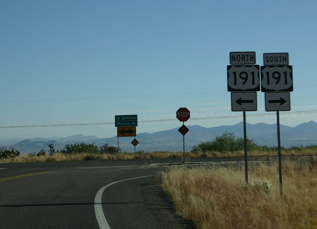
| SR 266 ends at U.S. Highway 191, as noted on this end shield. 11/11/07 |
|
| SR 266 ends at U.S. 191. Turn left for U.S. 191 north to Safford, or right for U.S. 191 to Interstate 10. 11/11/07 |
|
| This is the only shield on SR 266 Spur. The route travels from SR 266 north to Fort Grant State Prison.
The state route includes a turnaround designed for motorists not intending to travel to the state prison. Beyond that point, SR 266 Spur enters State Prison property. 11/11/07 |
|
| SR 266 Spur ends here, at SR 266. Turn left
to reach U.S. 191, or turn right to reach Bonita. 11/11/07 |
Page Updated 11-23-2007.