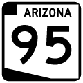
Split into two branches, Arizona State Route 95 mostly parallels the Colorado River to the east. Extending 92.70 miles north from I-10 and U.S. 95 at Quartzsite to Parker, the southern leg of SR 95 connects Lake Havasu City with I-40 near the Black Mountains. 23.65 miles in length, the northern branch of SR 95 connects Needles, California with Bullhead City and Laughlin, Nevada via SR 163. Numbered the same as U.S. 95, it is likely that SR 95 was originally considered as a contender for U.S. 95 in the 1960s, when that route was aligned through Needles and Blythe, California instead.
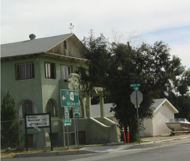
Prior to 1992, SR 95 was a continuous route between Interstate 40 at Topock (Exit 1) and Arizona Village. The highway was decommissioned north through Havasu National Wildlife Refuge and Fort Mojave Indian Reservation, partially due to right of way issues at the unincorporated community of Golden Shores. The former route follows CR 10 (Oatman Highway), CR 1 and CR 233 (Courtwright Road). SR 95 was realigned to begin at the K Street bridge crossing the Colorado River from Needles, California. Trailblazers are posted for SR 95 in the Golden State from Business Loop I-40 (Historic U.S. 66).
|
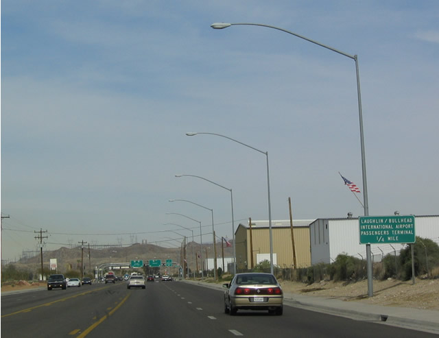
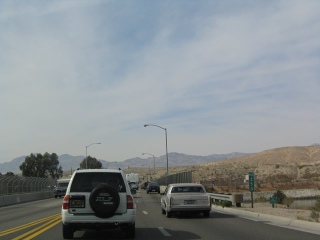
| Northbound SR 95 approaching its junction with "To SR 68 East" and Bullhead Parkway southeast to the airport (this is the return of the locally maintained bypass of Bullhead City). 02/16/04 |
|
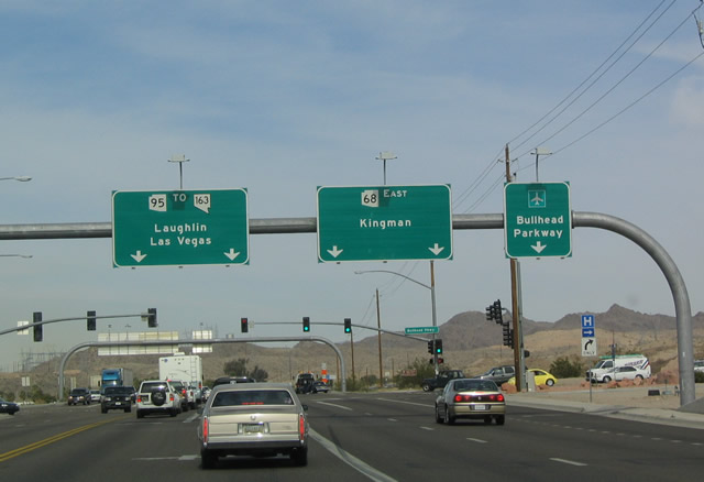
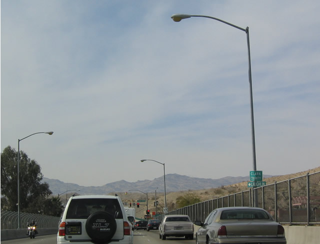
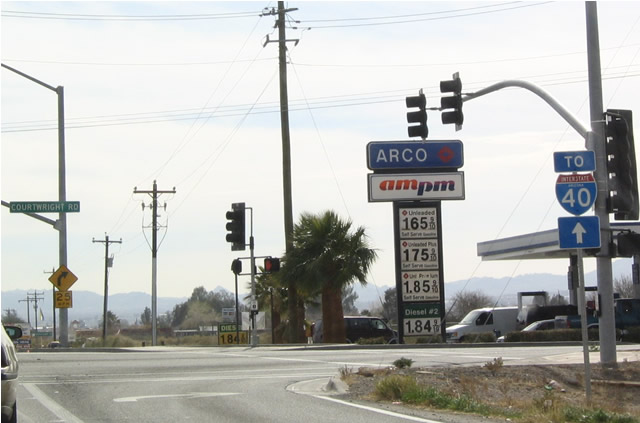
| Northbound SR 95 at the roadway that connects to SR 68 east to Kingman. Officially, SR 95 and SR 68 never meet; SR 68 crosses the Colorado River itself at Davis Dam, changing into a locally maintained road upon entering Nevada. The road straight ahead is state-maintained, but it does not carry a state highway number except as "To SR 68 East" or "To SR 95 South. 02/16/04 |
|
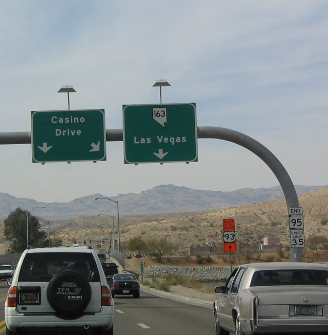
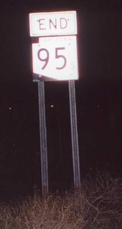
| SR 95 end shield as it reaches the Colorado River bridge. This sign bridge, placed by the state of Arizona, displays a Nevada state shield, thus indicating that SR 95 changes into Nevada 163. Note that the U.S. 93 detour around Hoover Dam continues straight ahead along Nevada 163 west, so that it can meet U.S. 95 near Cal-Nev-Ari. 02/16/04 |
|
| Milepost 250 is the final milemarker before SR 95 crosses the bridge into Nevada. 02/16/04 |
|
| SR 95 reaches its northern terminus as it crosses the Colorado River and transitions into Nevada 163 in Laughlin. 02/16/04 |
|
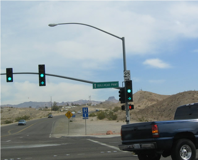
| Southbound SR 95 commences from the east end of Nevada Route 163 across the Colorado River. A left turn at this traffic signal leads to SR 68 east, while straight ahead continues onto Bullhead Parkway, a bypass of Bullhead City that returns to SR 95 south of town. 02/16/04 |
|
| Southbound SR 95 turns right at this intersection, as indicated by the shield mounted on the traffic signal mast arm. Bullhead Parkway heads straight from here. 02/16/04 |
|
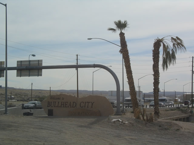
| Welcome to Bullhead City sign at the southwestern quadrant of the intersection. 02/16/04 |
|
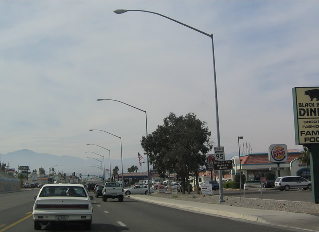
| After passing through the miles and miles of strip malls, gas stations, housing developments, and motels, SR 95 exits Bullhead City. This is a popular destination for snowbirds and retirees. 02/16/04 |
|
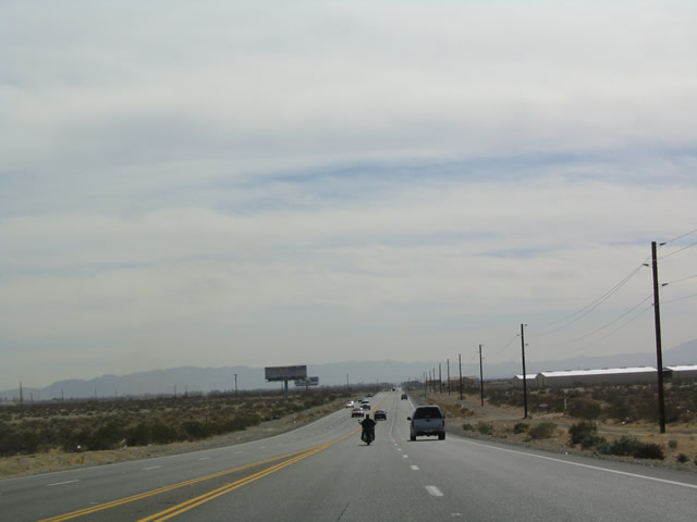
| SR 95 widens out after leaving Bullhead City. 02/16/04 |
|
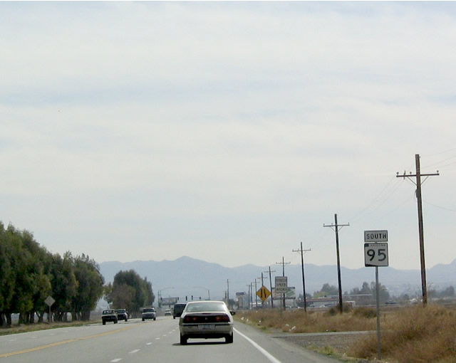
| Southbound SR 95 shield in Mohave Valley. 02/16/04 |
|
| Southbound SR 95 at CR 227. Mohave County Route 227 follows the old alignment of SR 95, culminating at Historic U.S. 66 in Topock near Interstate 40. 02/16/04 |
|
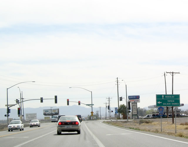
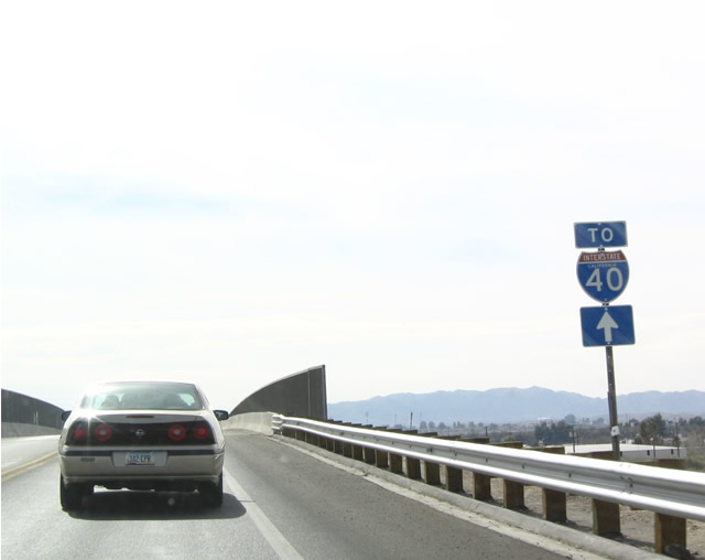
| At this intersection, note the trailblazer for Interstate 40 Arizona. Trouble is, continuing straight south on SR 95 will actually connect to Interstate 40 California. 02/16/04 |
|
| South of the Mohave County Route 227 intersection, there are no more SR 95 reassurance markers. As SR 95 crosses a non-descript bridge, it passes by this trailblazer shield for Interstate 40 California ... and SR 95 enters California. 02/16/04 |
|
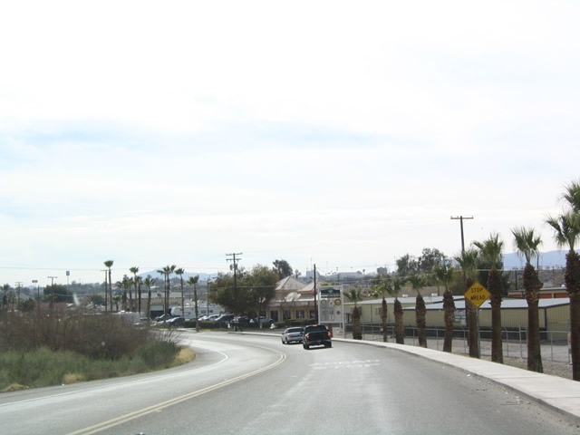
| No longer signed and no longer state maintained, SR 95 enters Needles, California. 02/16/04 |
|
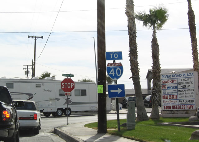
| This trailblazer again points the way for SR 95 traffic to reach the business loop and Interstate 40 in Needles. 02/16/04 |
|
| At this same intersection, note the signage "To SR 95, Bullhead City/Laughlin" for northbound traffic. 02/16/04 |
|
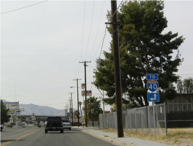
| Upon reaching the Needles Business Loop I-40, travelers have an option of making a left to reach eastbound and continuing straight ahead to reach westbound. SR 95 pretty much fades into the mist. Business Loop I-40 is not signed here, and to add to confusion, Interstate 40 is cosigned with U.S. 95. To continue south on SR 95, follow the signs to eastbound Interstate 40, then cross back into Arizona near Topock. SR 95 continues south at Exit 9. 02/16/04 |
|
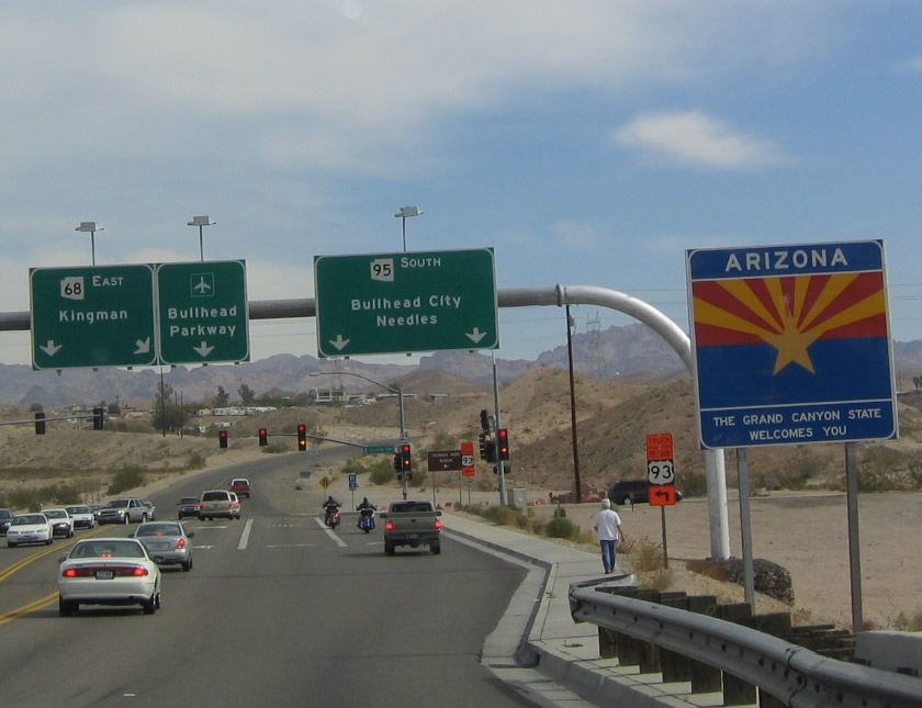
| Southbound SR 95 approaching Junction Business Loop I-10 and U.S. 95. The California "triangular" Interstate shield appears to have invaded Arizona, as evidenced by this signage. The southern terminus of SR 95 is at this intersection in Quartzsite. Business Loop I-10 here is old U.S. 60-70. Both routes have since been decommissioned this far west. U.S. 95 continues from this point south toward Yuma and San Luis Colorado. 11/10/00 |
|
| End Westbound SR 95 Spur at the Colorado River Bridge in Parker. This spot marks the eastern terminus of SR 62. 11/10/00 |
Photo Credits:11/10/00, 02/16/04 by AARoads
Connect with:
Interstate 10
Interstate 40
U.S. 95
State Route 72
Page Updated 03-30-2022.