Alfred Harrell Highway is a locally maintained freeway in Bakersfield that leads northeast from Mount Vernon Drive and Panorama Drive at Bakersfield College to Hart Memorial County Park. According to California Highway Historian Michael Ballard, the freeway portion was built between 1956 and 1958 using Federal Aid Secondary (FAS) funds.
A realignment completed in 2006 directly linked the east end of Alfred Harrell Highway with Comanche Drive at California 178 (Kern County Road). Previously, Alfred Harrell Highway intersected Kern County Road further west. Comanche Drive travels south through rural and agricultural areas to California 58 (Bakersfield-Tehachapi Highway) at Exit 121.
|
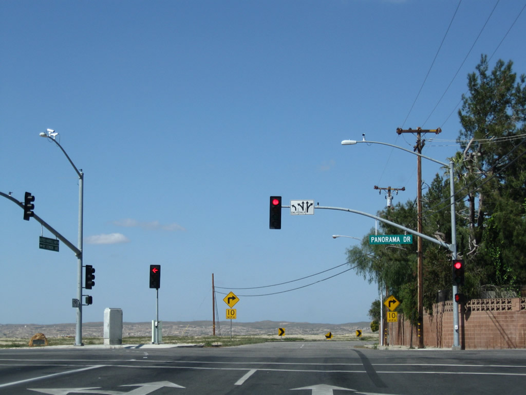
| Northbound Mount Vernon Avenue approaches Panorama Drive west to Downtown and the beginning of Alfred Harrell Highway. 03/15/09 |
|
| Alfred Harrell Highway makes a sharp turn toward the east beyond Panorama Drive and starts to lower in elevation. A Pacific Gas and Electric (PG&E) power line spans the highway ahead. 03/15/09 |
|
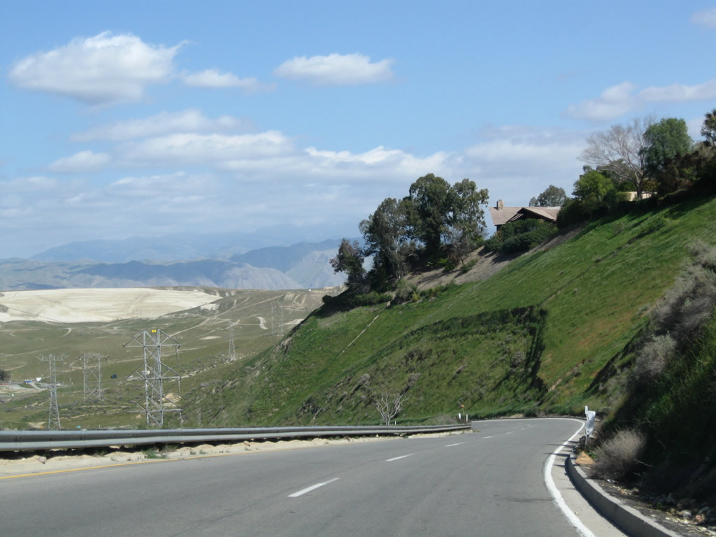
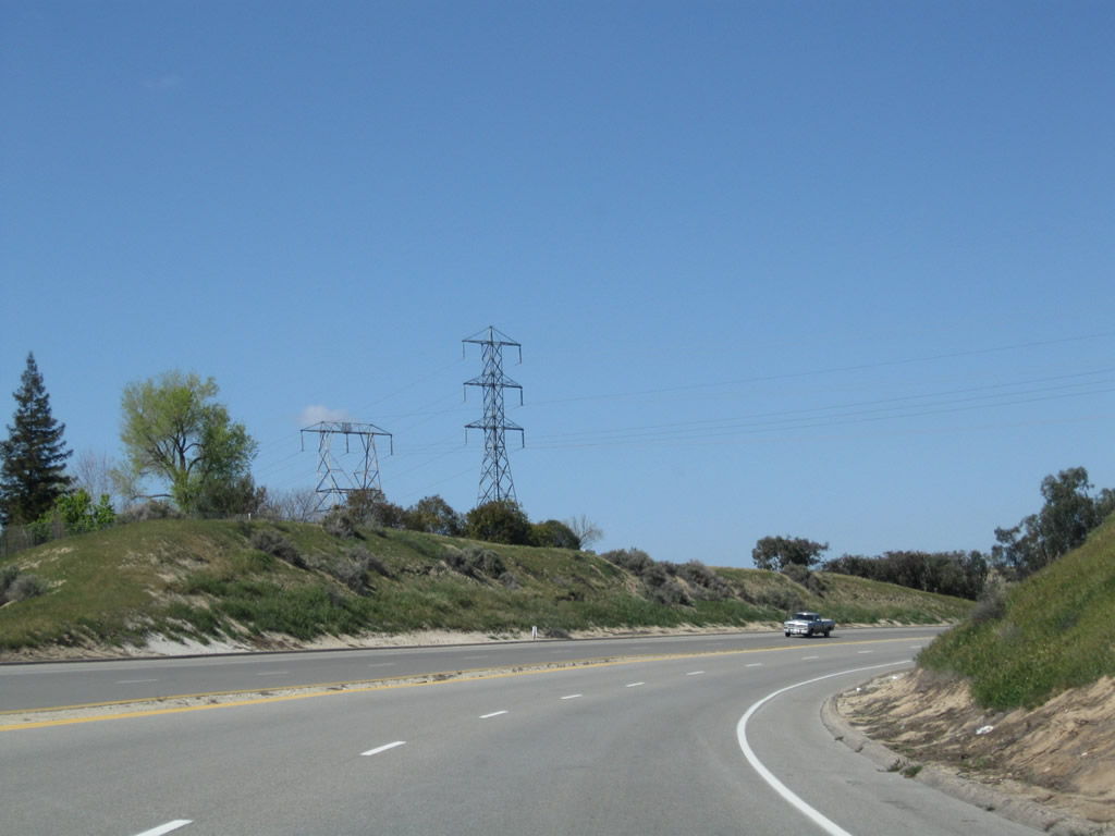
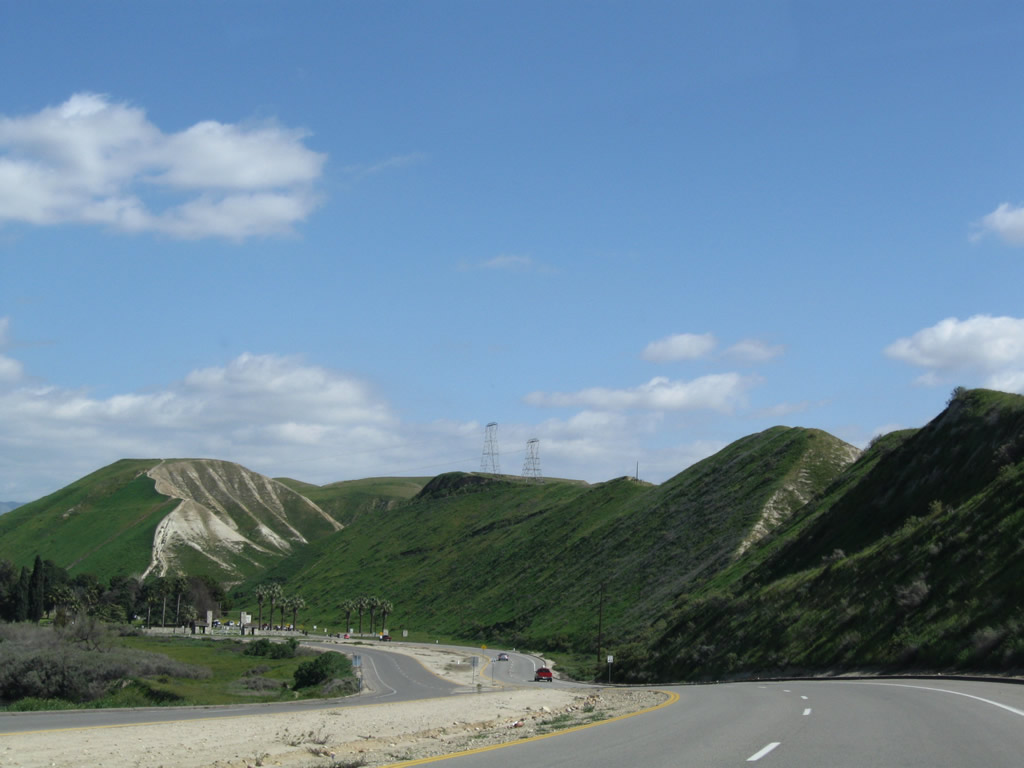
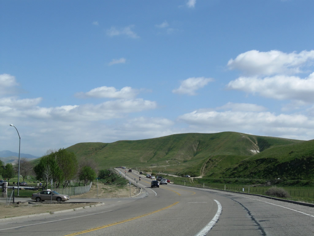
| The Sierra Nevada foothills come into view as Alfred Harrell Highway continues northeast. A Pacific Gas and Electric and a Southern California Edison transmission line parallel each other on the slope above the Kern River. 03/15/09 |
|
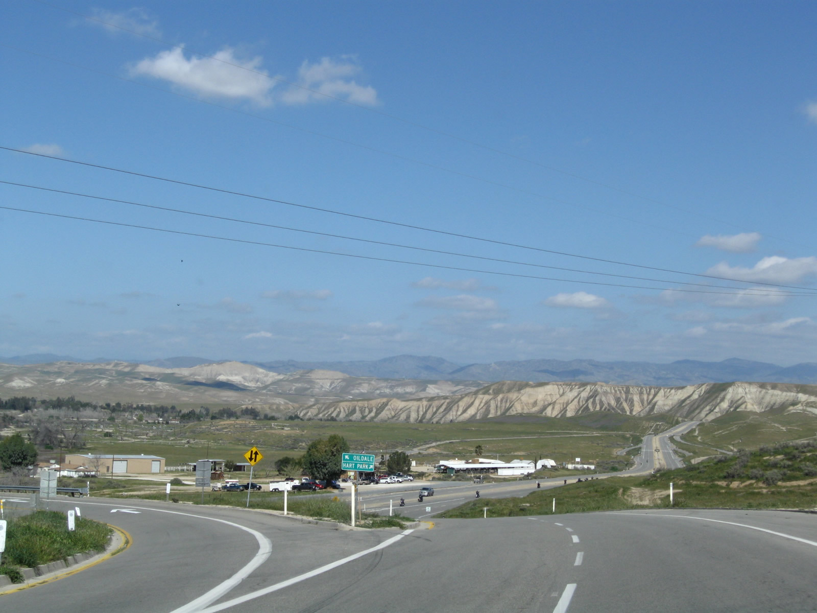
| Alfred Harrell Highway lowers into a trumpet interchange with China Grade Loop north to Round Mountain Road for Oil City and Oildale. A lone and substandard sign stands at the gore point. 03/15/09 |
|
| Traffic from China Grade Loop merges onto Alfred Harrell Highway from the left. Two lanes of Alfred Highway continue east toward Hart Memorial County Park. 03/15/09 |
|
| After the China Grade Loop interchange, the Alfred Harrell Highway finally gains a standard freeway look and feel, with two lanes in each direction separated by a concrete median strip. 03/15/09 |
|
| The next exit along eastbound Alfred Harrell Highway is with Fairfax Road south into eastern Bakersfield. 03/15/09 |
|
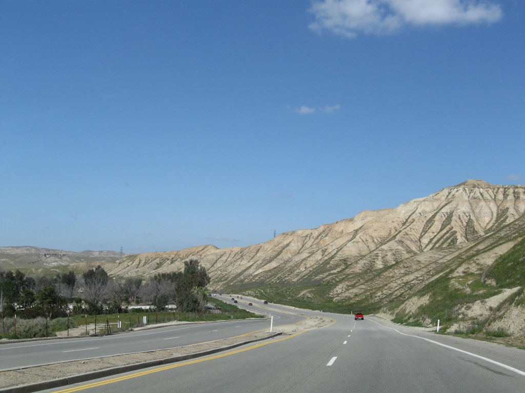
| The freeway stays close to the edge of the large bluffs and palisades that separate the Kern River bottom from the higher country to the south. While much of the land south of the Harrell Highway is part of the Bakersfield city limits, areas north and west of the highway lie within unincorporated Kern County. 03/15/09 |
|
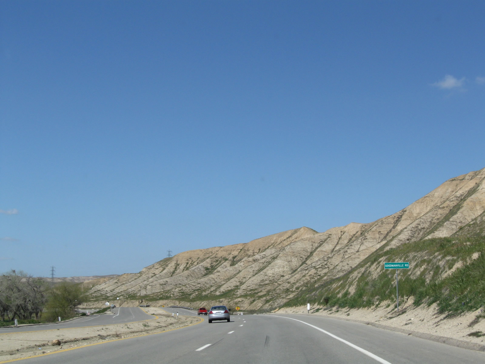
| The succeeding exit along Alfred Harrell Highway east is with Goodmanville Road. This diamond interchange provides local access for properties on the south side of the Kern River, including those on Shadow Hills Drive. 03/15/09 |
|
| A set of 220kV Southern California Edison power lines cross over Alfred Harrell Highway east of Goodmanville Road. 03/15/09 |
|
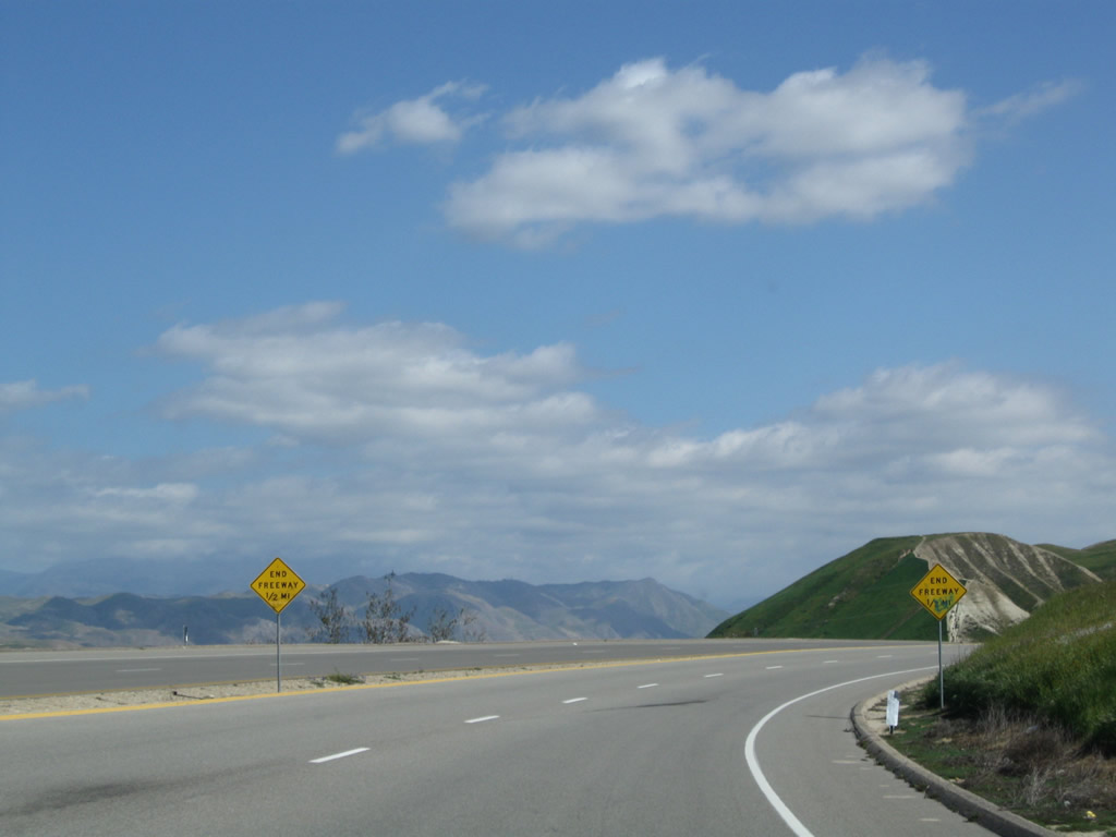
| The median barrier is almost non-existent as the Alfred Harrell Highway turns east again ahead of the freeway end. 03/15/09 |
|
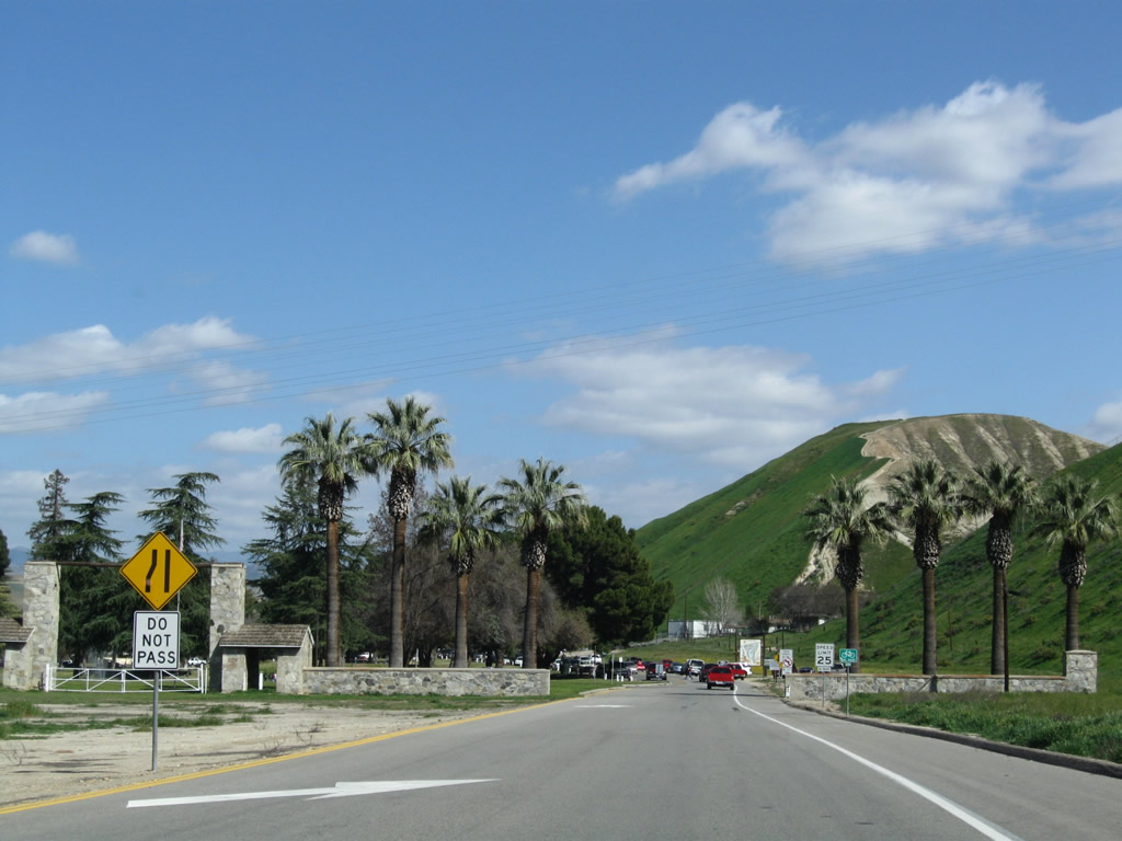
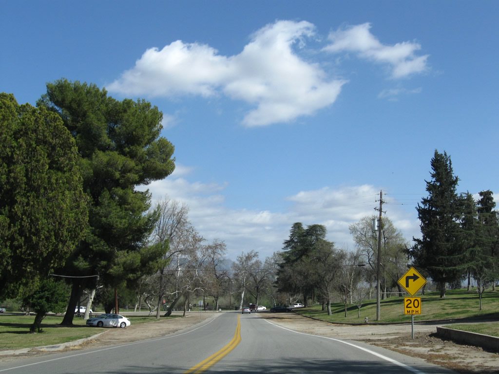
| Approaching the entrance to Hart Memorial Park, the speed limit along Alfred Harrell Highway reduces to 45 and then 25 miles per hour. 03/15/09 |
|
| A lane drop occurs just prior to the park entrance. Alfred Harrell Highway advances beyond Lily Drive with two-way traffic. 03/15/09 |
|
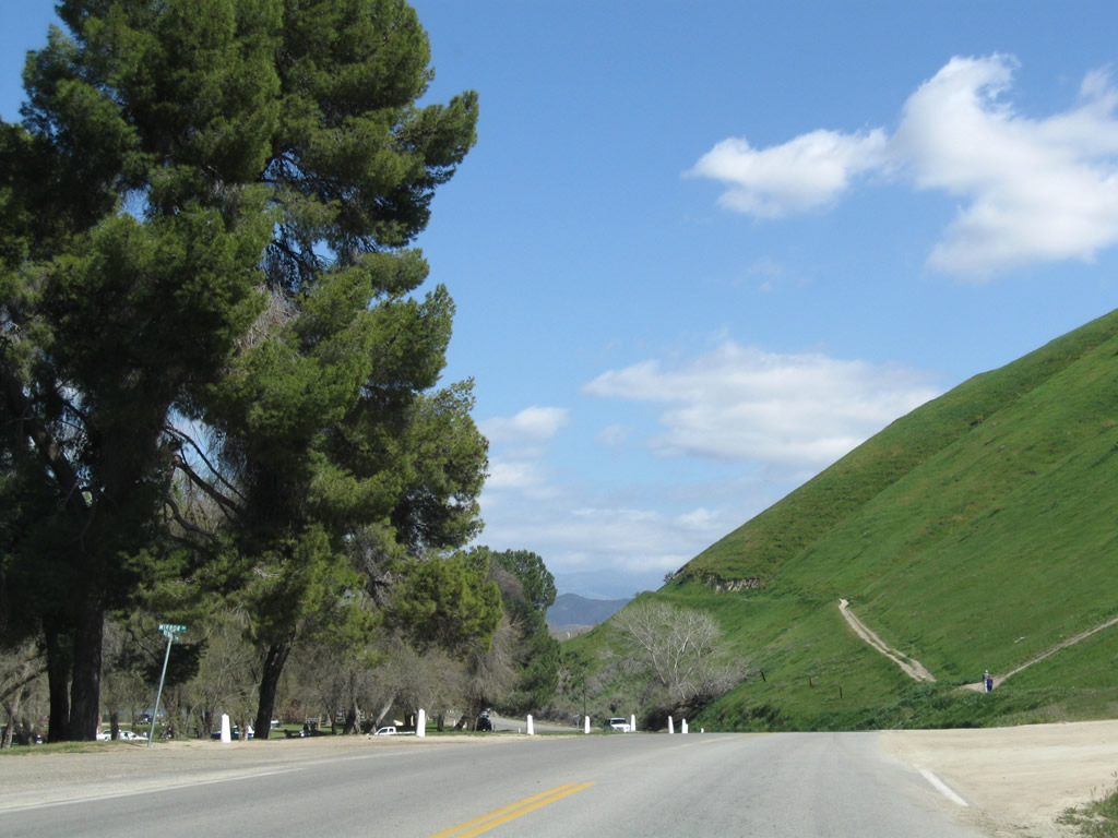
| Alfred Harrell Highway runs along the south side of Hart Memorial Park. 03/15/09 |
|
| Alfred Harrell Highway turns southward at River Road toward Kerrn County Soccer Park. 03/15/09 |
|
| Alfred Harrell Highway continues east to Ming Lake, Kern River Golf Course, Rio Bravo, and SR 178 (Kern Canyon Road) 03/15/09 |
|
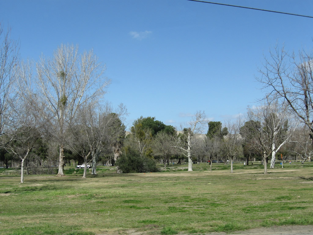
| Alfred Harrell Highway maintains two lanes between Hart Memorial Park and Kern River Park. Recreational areas are now generally to the north toward the adjacent river. 03/15/09 |
|
| The California Living Museum (CALM) is located on the north side of the Alfred Harrell Highway. 03/15/09 |
|
| Lake Ming Road stems north to Lake Ming and the Kern River Golf Course. Alfred Harrell Highway next turns south to SR 178. 03/15/09 |
|
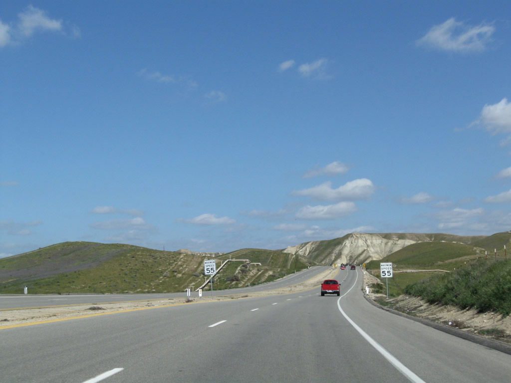
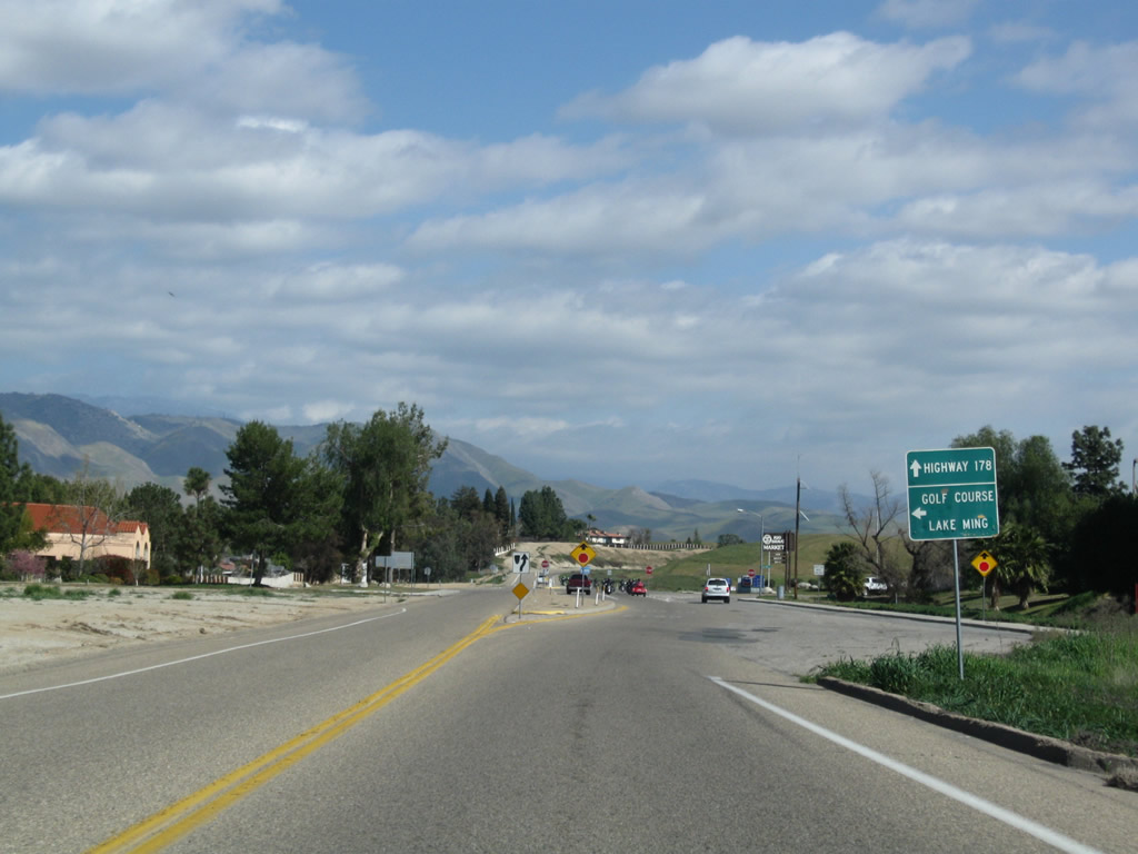
| Speed limits increase to 55 miles per hour as Alfred Harrell Highway leaves the recreational areas and approaches SR 178 (Kern Canyon Road). The highway ends opposite Comanche Drive south to SR 58 (Bakersfield Tehachapi Highway). 03/15/09 |
Page Updated 09-19-2009.