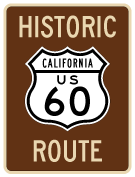
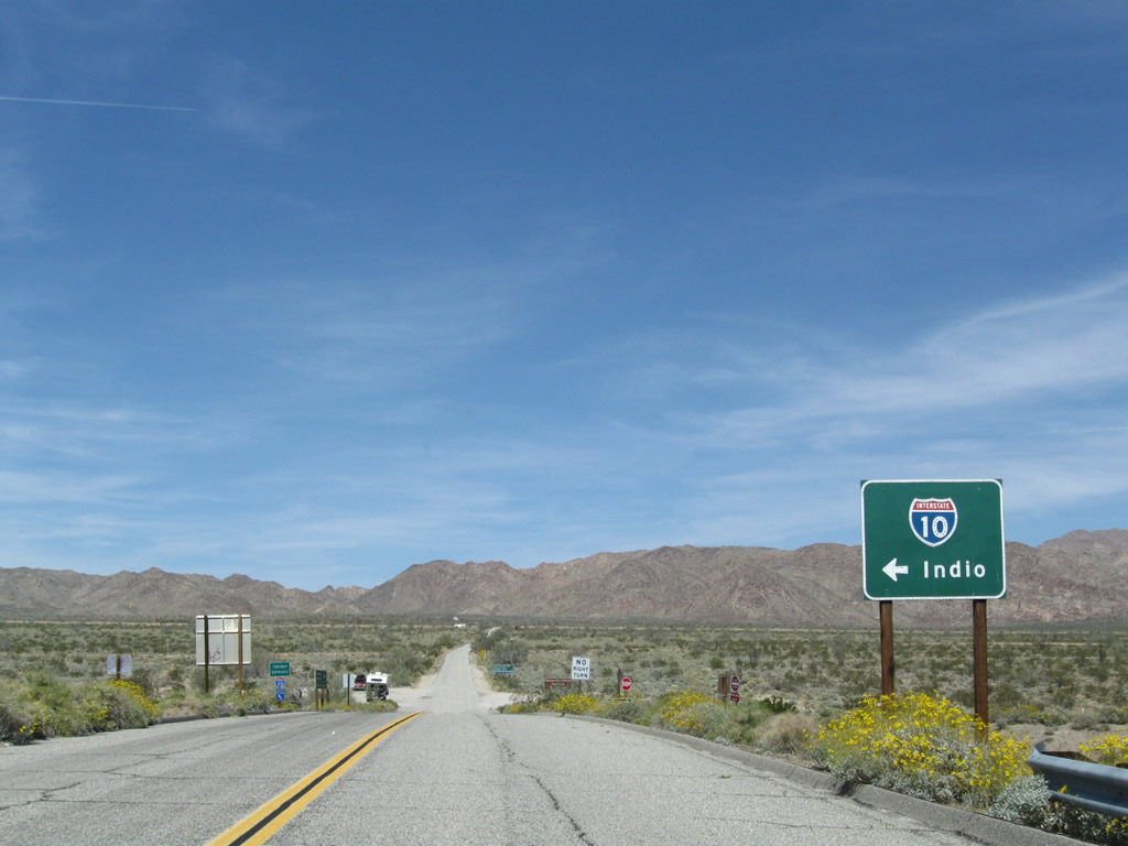
Until 1964, U.S. 60 generally followed what is today the current Interstate 10 corridor, connecting downtown Los Angeles with San Bernardino and the desert cities of Palm Springs, Indio, and Blythe. U.S. 60 entered Arizona at the Colorado River bridge east of Blythe and west of Quartzsite. The combination of Interstate 10 and California 60 freeways was built in stages through the 1960s, and signage for U.S. 60 was gone by 1972. A portion of old U.S. 60 is today part of the California 60 freeway between San Dimas and Beaumont; the California 60 freeway west of San Dimas was never signed as U.S. 60. The route was cosigned with U.S. 70 from Beaumont east to the Arizona state line near Blythe and with U.S. 99 from Beaumont east to Indio.
| Historic U.S. 60-70-99 - Kellogg Hill |
|
Prior to the major changes that have created the Kellogg Interchange between Interstate 10, California 57, and California 71, Kellogg Hill was much simpler. This view shows old U.S. Highway 60-99-70 over Kellogg Hill in 1940. Photo taken By Darin Kuna (1940). |
| Historic U.S. 60-70-99 - Cabazon |
|
Another historic highway photo shows eastbound U.S. 99-70-60 as the highway passed through the former city of Cabazon in 1947. Photo taken By Darin Kuna (1947). |
| U.S. 60-70-99 - Whitewater Cutoff Road |
|
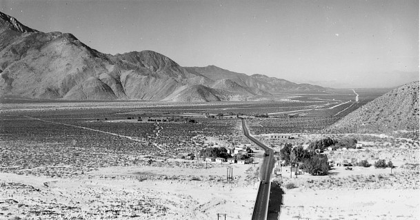
Looking out west over Whitewater with bridge in foreground and highway before 1952 realignment. Photo taken By Darin Kuna (1947). |
|
Looking at Bridgehaven Cafe in Whitewater, just before the bridge. Photo taken By Darin Kuna (1947). |
|
Bridgehaven Cafe at night. Photo taken By Darin Kuna (1947). |
|
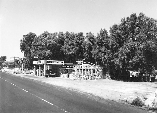
Looking east at Snow Creek Cafe. Photo taken By Darin Kuna (1947). |
|
Looking west at Snow Creek Cafe. Photo taken By Darin Kuna (1947). |
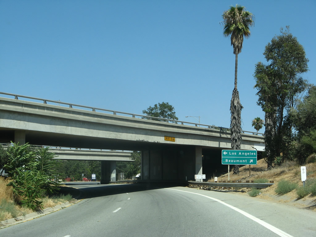
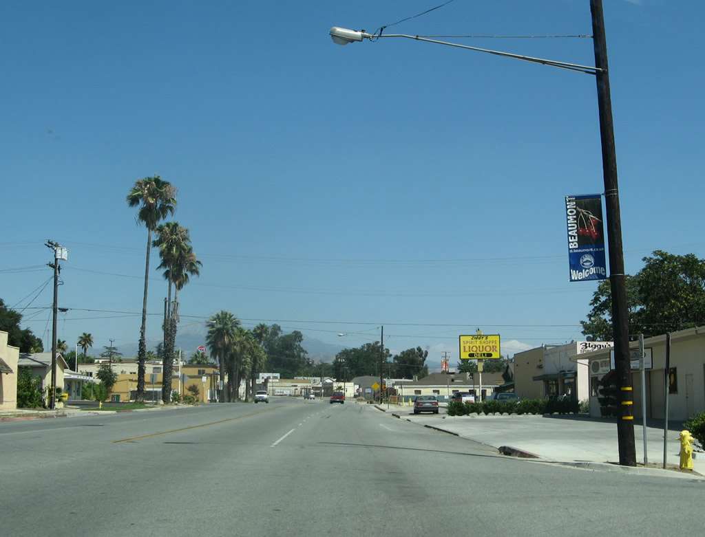
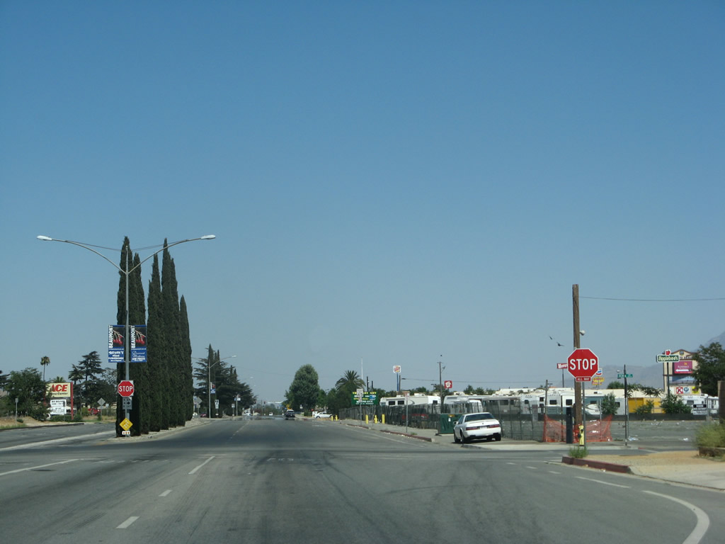
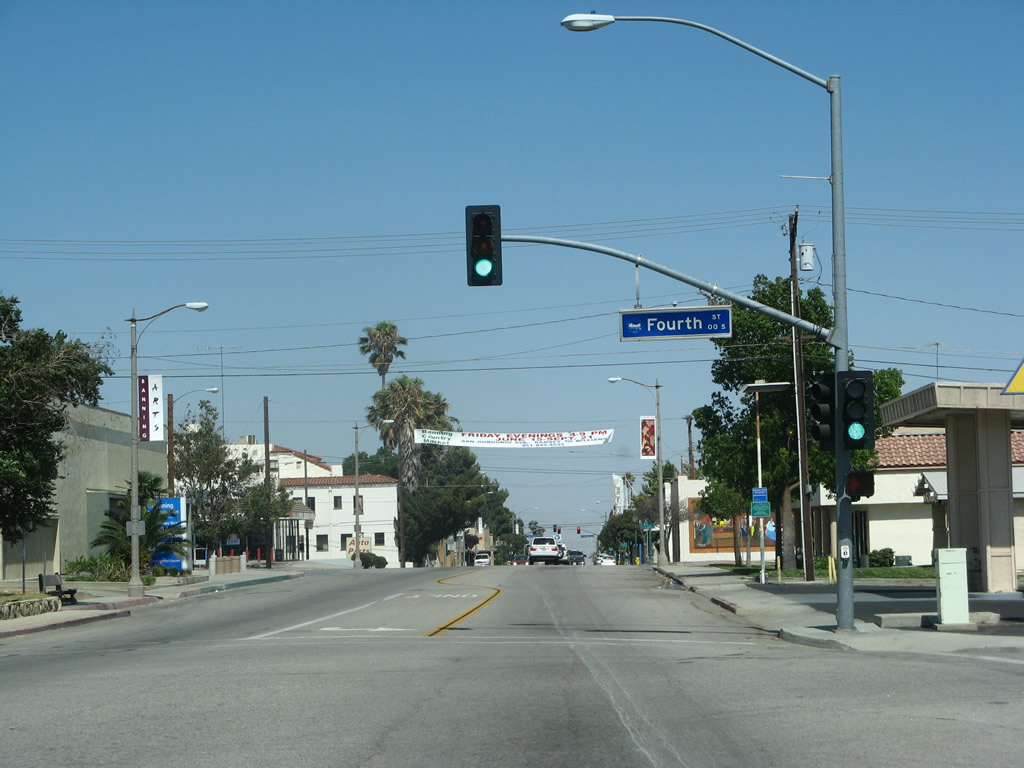
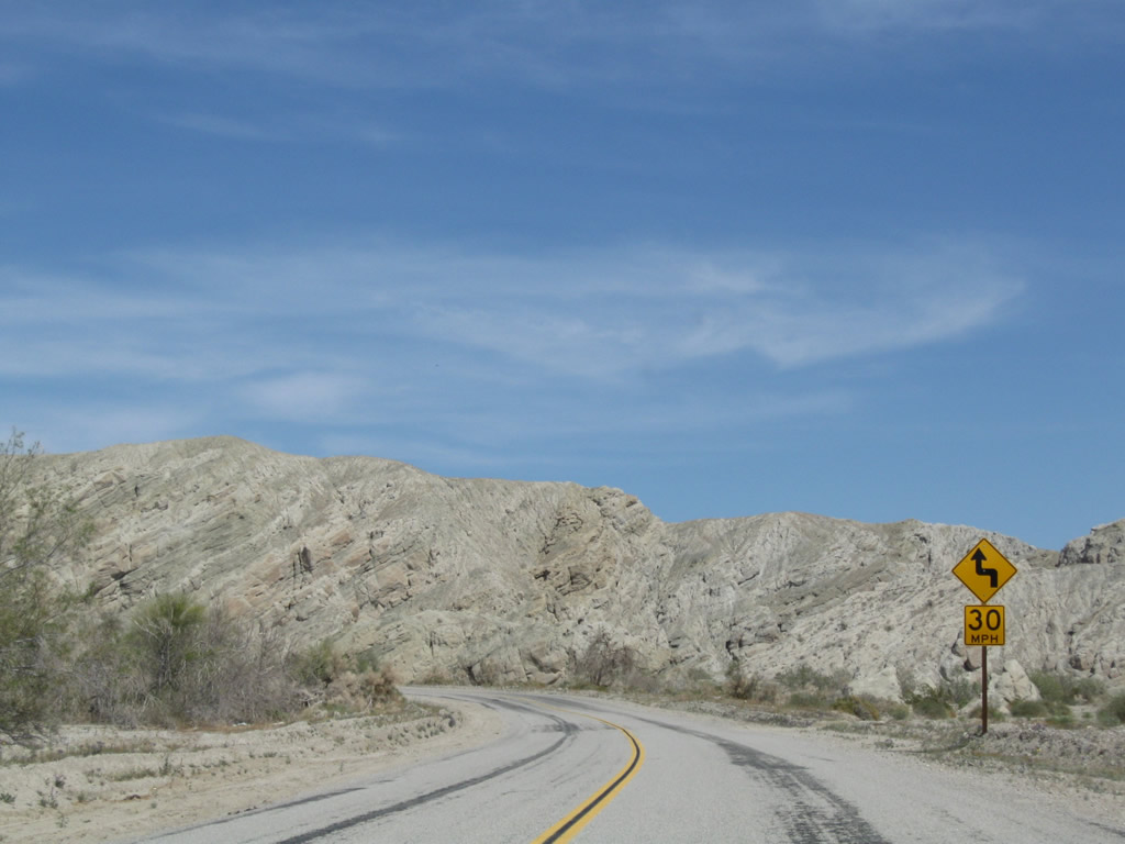
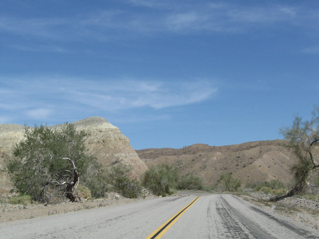
| Historic U.S. 60 east - Beaumont |
|
Eastbound California 60 meets Exit 76A, Sixth Street (old U.S. 60-70-99) east into downtown Beaumont. Photo taken 07/15/07. |
|
Leaving the California 60 freeway in western Beaumont, a single-lane off-ramp departs the freeway and will soon connect to old U.S. 70-99. Photo taken 07/15/07. |
|
Traffic from Interstate 10 (former U.S. 70-99) merges with traffic from California 60 (former U.S. 60). The three historic routes merge again for the first time since Pomona near Kellogg Hill. Photo taken 07/15/07. |
|
Passing under the Interstate 10 mainline, the next left connects old U.S. 60-70-99 east with an on-ramp to Interstate 10 west. Photo taken 07/15/07. |
|
|
|
Eastbound Historic U.S. 60-70-99 meets the on-ramp to Interstate 10 (Redlands Freeway) west. U.S. 70 west and 99 north formerly combined with I-10 here. Photos taken 07/15/07. |
| Historic U.S. 60-70 east & Historic U.S. 99 south - Beaumont |
|
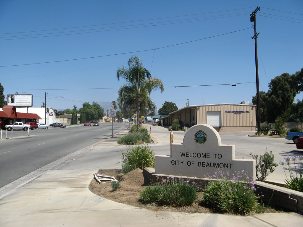
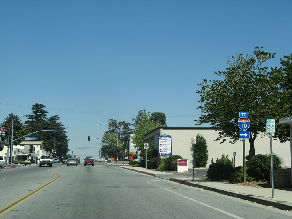
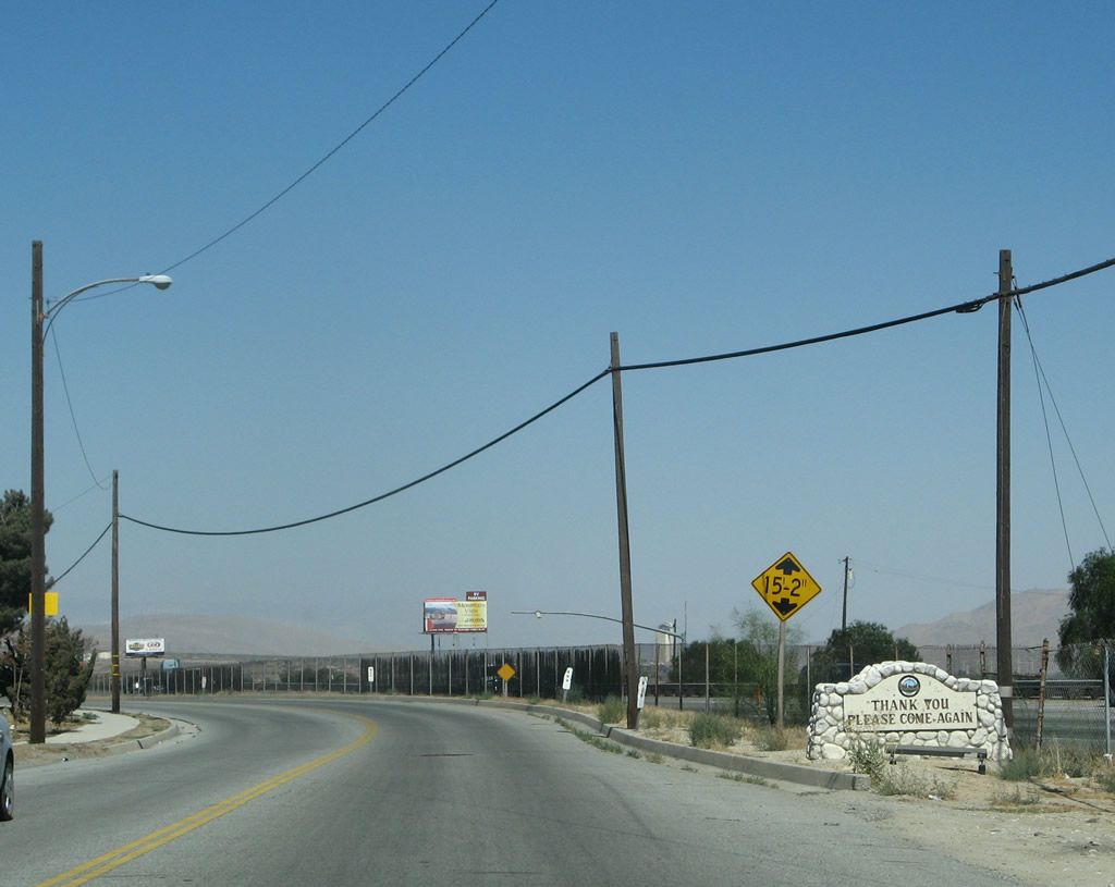
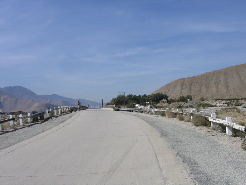
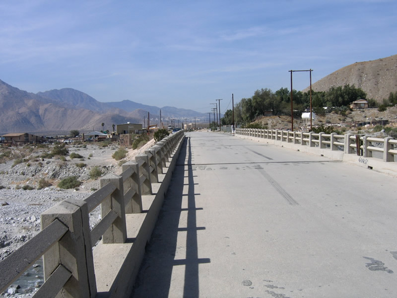
After the Interstate 10 interchange, U.S. 60-70 east and U.S. 99 south enters the city of Beaumont (population 11,384 as of 2000 Census; incorporated on November 18, 1912). At Beaumont, California 60 will meet Interstate 10; this is the historic junction point for U.S. 60 to join U.S. 70-99 for the journey southeast toward Indio and the Coachella Valley. Photo taken 07/15/07. |
|
Before Interstate 10 was built as a freeway bypass, Sixth Street was the major east-west corridor through Beaumont. This once-busy highway now functions as a business loop, even though it is not an official business route. Here eastbound Sixth Street (old U.S. 60-70-99) meets Wellwood Avenue. Photo taken 07/15/07. |
|
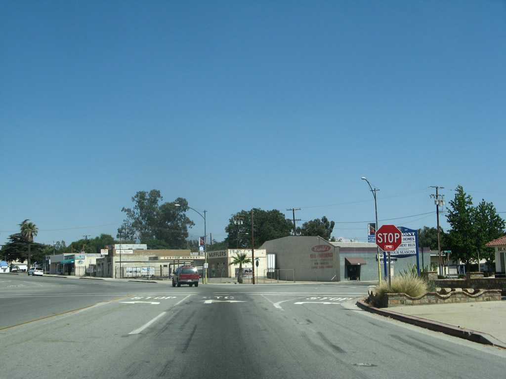
Eastbound Sixth Street (old U.S. 60-70-99) meets California Avenue and Grace Avenue at this five-way intersection (governed by a stop sign). Sixth Street curves from southeast to east at this point. Photo taken 07/15/07. |
|
|
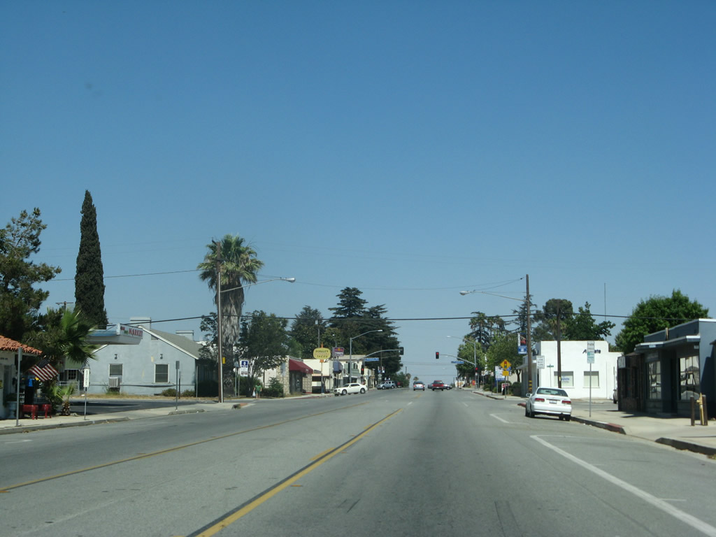
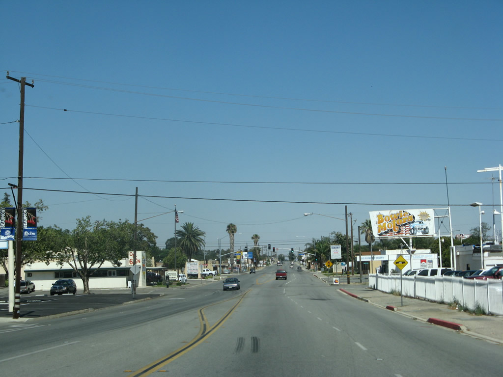
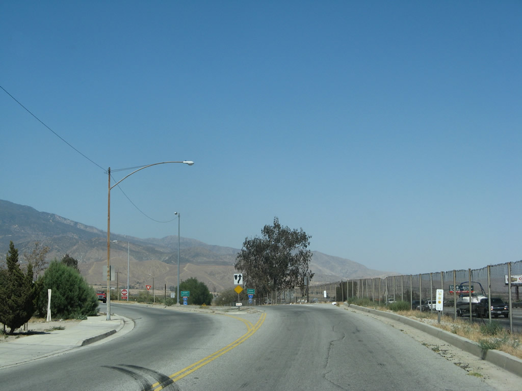
Sixth Street (old U.S. 60-70-99) proceeds east through the city of Beaumont. Photos taken 07/15/07. |
|
|
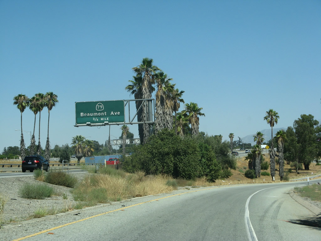
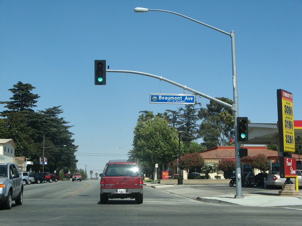
At the traffic signal, old U.S. 60-70-99 meets Beaumont Avenue. Turn right (south) on Beaumont Avenue to Interstate 10 east/west and California 79 south (about one block south of here). California 79 travels south toward Hemet and Temecula in southwestern Riverside County. Photos taken 07/15/07. |
|
|
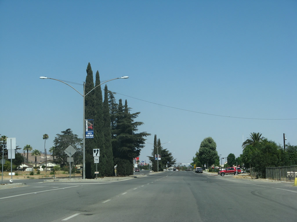
Eastbound Sixth Street (old U.S. 60-70-99) approaches Palm Avenue, a wide boulevard that features a landscaped median at it travels north through Beaumont. Photos taken 07/15/07. |
|
|
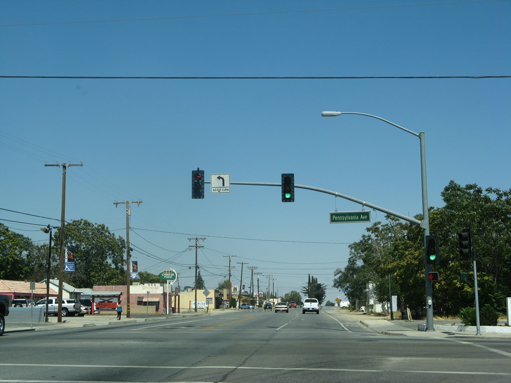
The next traffic signal along Sixth Street (old U.S. 60-70-99) east is with Pennsylvania Avenue. Photos taken 07/15/07. |
|
|
Sixth Street (old U.S. 60-70-99) leaves downtown Beaumont and proceeds east past Xenia Avenue. Photos taken 07/15/07. |
|
|
At this traffic signal, eastbound Sixth Street (old U.S. 60-70-99) meets Highland Springs Avenue. Turn right to connect to Interstate 10 east to Palm Springs, Indio, and Phoenix or west to San Bernardino, Riverside, Pomona, and Los Angeles. Sixth Street leaves Beaumont and enters the city of Banning at this point, changing into Ramsey Street. Photos taken 07/15/07. |
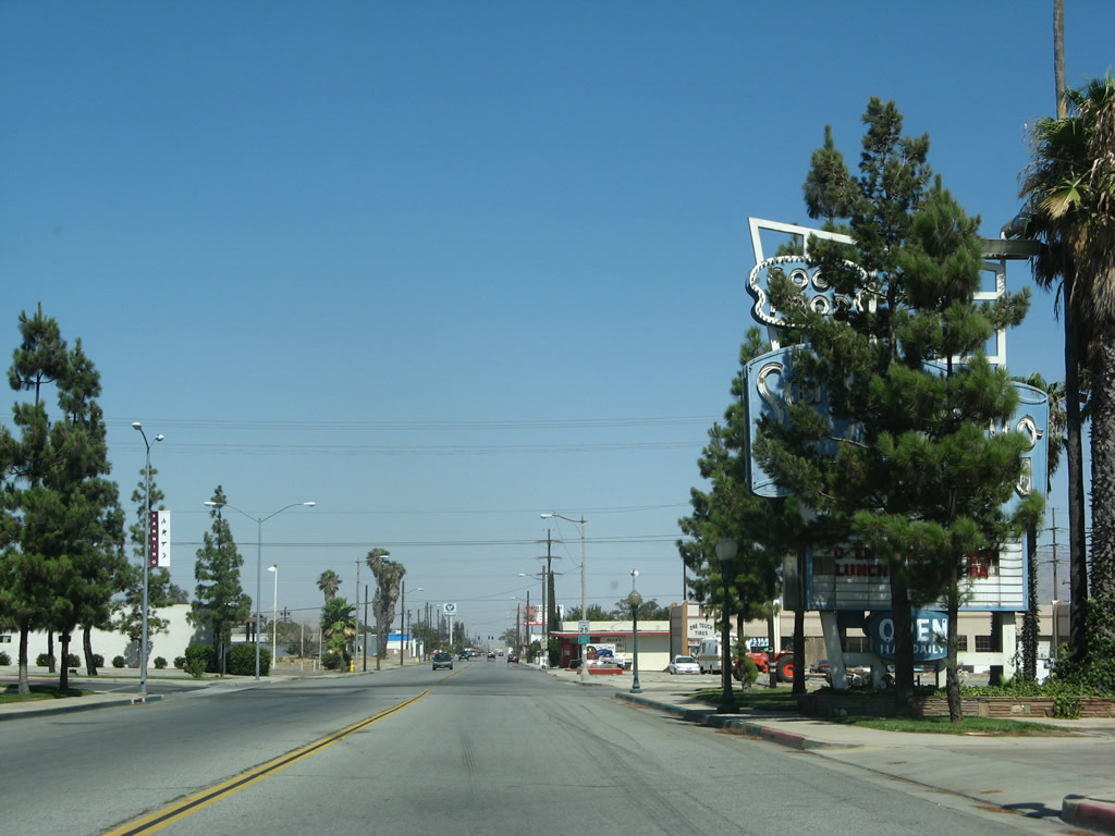
| Historic U.S. 60-70 east & Historic U.S. 99 south - Banning |
|
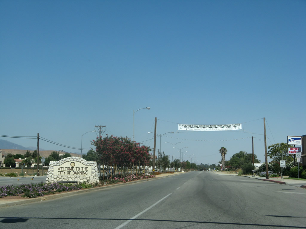
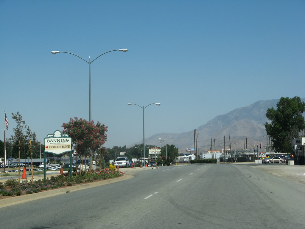
After the intersection with Highland Springs Avenue, eastbound U.S. 60-70-99 shifts from Sixth Street onto Ramsey Street. The former U.S. highway leaves Beaumont and enters the city of Banning ("Stagecoach Town USA"; "Proud History, Prosperous Tomorrow"). Located in San Gorgonio Pass, Banning had a population of 23,562 as of the 2000 Census and incorporated on February 6, 1913. Photo taken 07/15/07. |
|
|
|
|
|
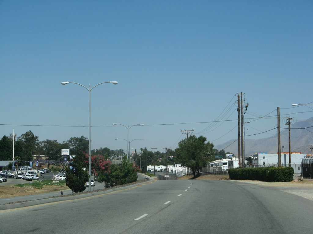
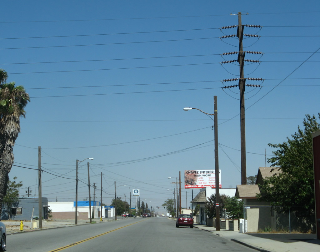
| This series of pictures follows Historic U.S. 60-70-99 (Ramsey Street) east through the city of Banning. While the roadway was built as part of the original expressway, it now principally serves local traffic. Photos taken 07/15/07. |
|
|
|
|
|
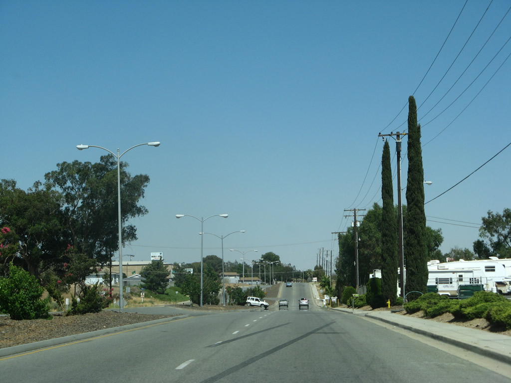
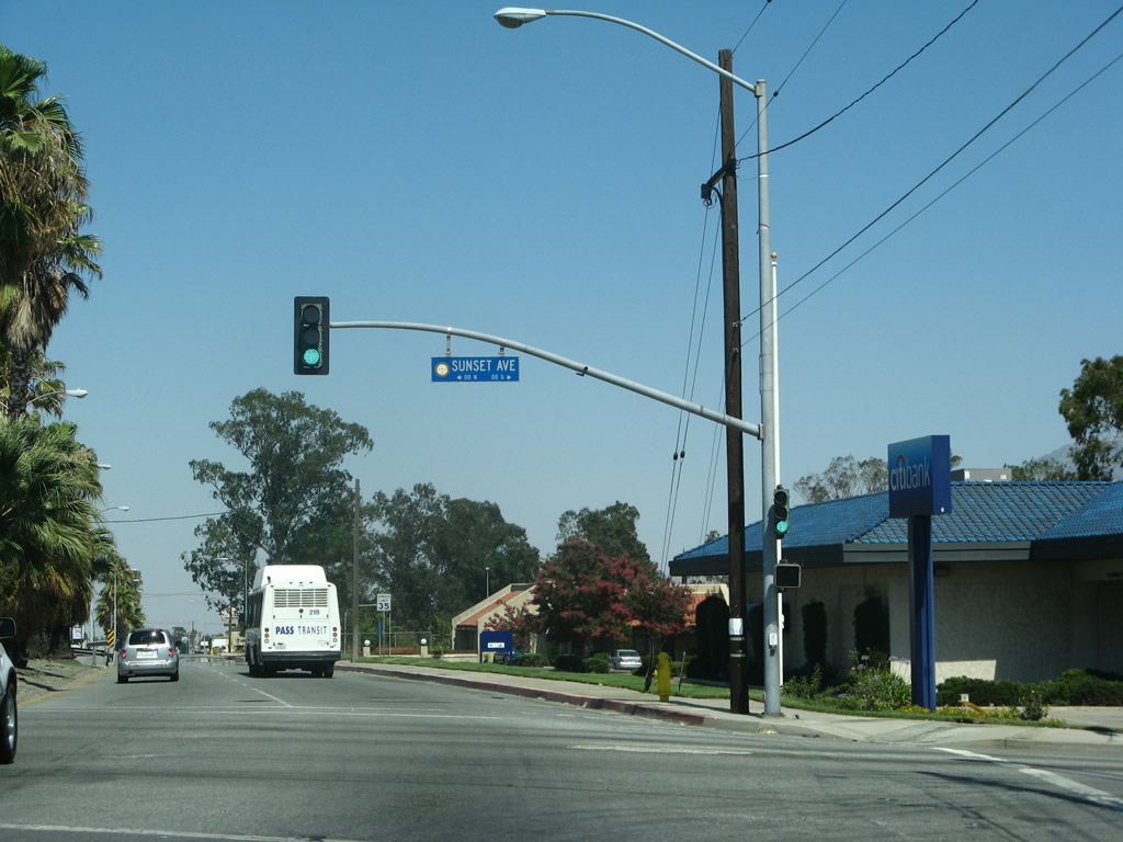
| Approaching downtown Banning, eastbound old U.S. 60-70-99 follows Ramsey Street past signalized intersections with Sunset Avenue, 22nd Street, and 8th Street. Photos taken 07/15/07. |
|
|
|
|
|
| Now in downtown Banning, eastbound Historic U.S. 60-70-99 (Ramsey Street) passes by the historic Fox Theatre. Photos taken 07/15/07. |
|
|
|
|
|
| Eastbound Historic U.S. 60-70-99 (Ramsey Street) leaves downtown Banning and rejoins Interstate 10 at the east end of town, thus marking the end of this stretch of old alignment. Photos taken 07/15/07. |
|
|
A pair of freeway entrance assemblies accompany the on-ramp from Ramsey Street to Interstate 10 east. Photos taken 07/15/07. |
| Historic U.S. 60-70 west & Historic U.S. 99 north - Banning |
|
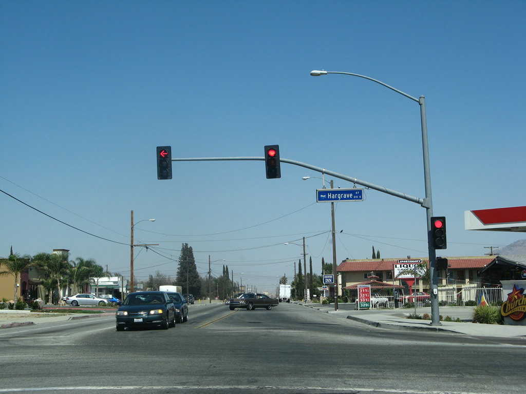
At the intersection between westbound Ramsey Street and Second Street in downtown Banning, this Automobile Club of Southern California (ACSC) guide sign is posted for Reppelier Park. Photo taken 07/15/07. |
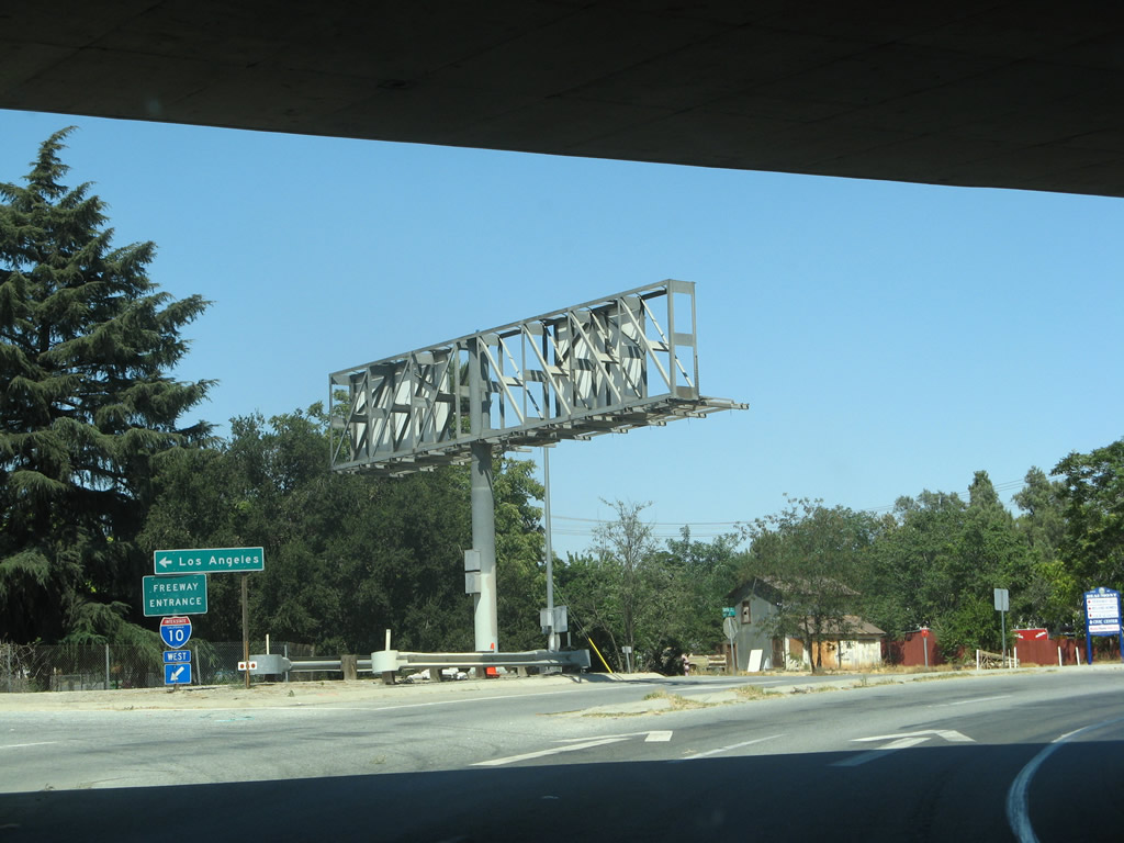
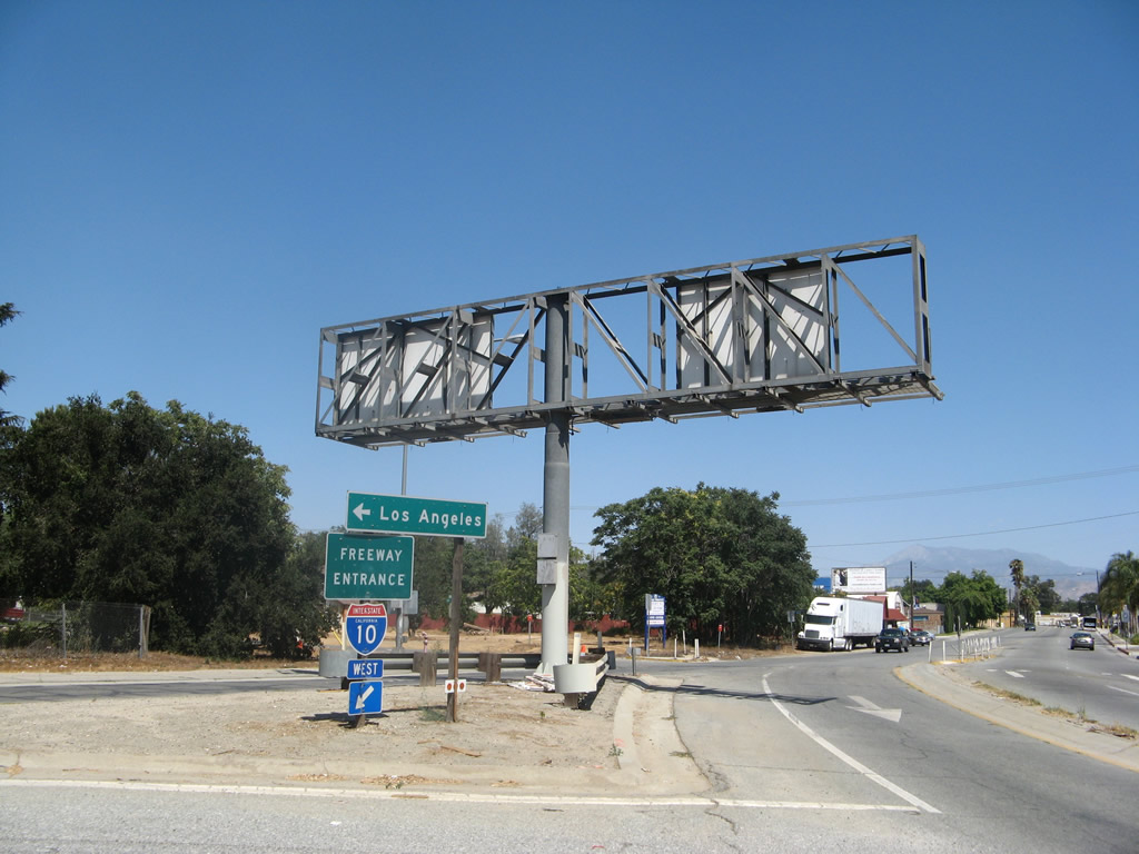
| Historic U.S. 60-70 west & Historic U.S. 99 north - Beaumont |
|
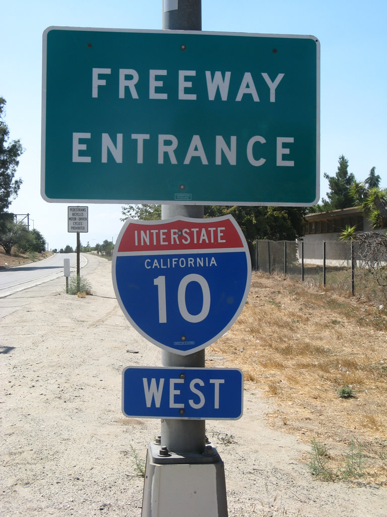
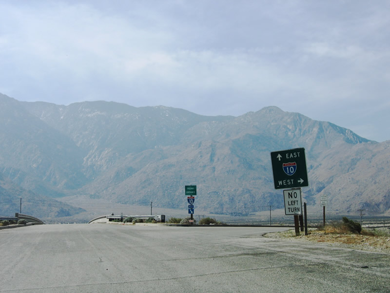
Westbound U.S. 60-70 and northbound U.S. 99 prepare to split between Interstate 10 (Redlands Freeway) west and California 60 (Moreno Valley Freeway) west. Historically, U.S. 70-99 exited right to join Interstate 10 west to San Bernardino, while U.S. 60 split away toward Moreno Valley and Riverside. The three routes used to reconverge in Pomona. The overhead sign here is old enough to have a green cover where U.S. 70 and 99 shields used to be posted alongside Interstate 10. Photos taken 07/15/07 and 07/03/04. |
|
|
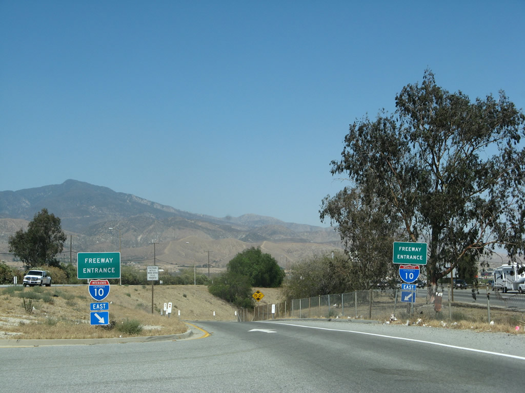
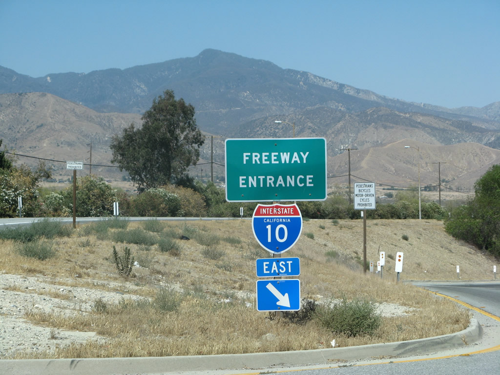
A Interstate 10 west freeway entrance shield is posted at the western end of Sixth Street in Beaumont at the Veile Avenue intersection. U.S. 70 west and U.S. 99 north follow this ramp to continue west to Yucaipa and Redlands. Photo taken 07/15/07. |
|
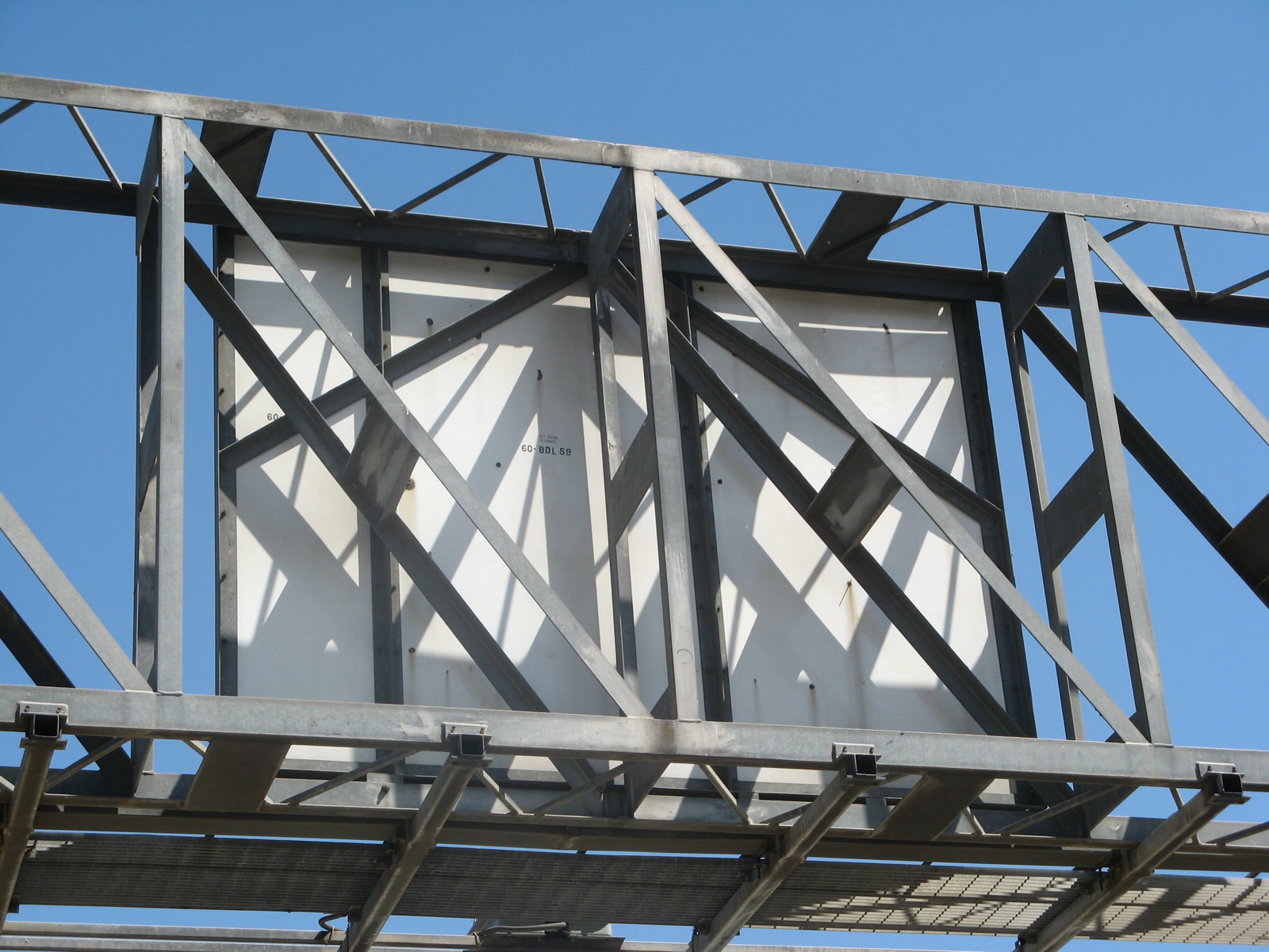
The back of the overhead guide sign includes the date code of "California Division of Highways 60-8DL 59." This type of date stamp was commonly used in the 1950s and 1960s, but fell out of use since then. Photo taken 07/15/07. |
|
Another freeway entrance shield is posted on the left side, separating the traffic between California 60 west to Riverside and Interstate 10 west to San Bernardino. Photo taken 07/15/07. |
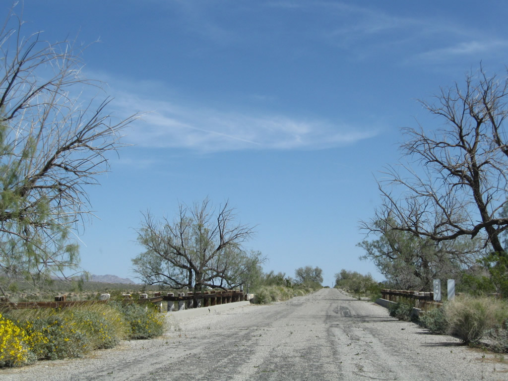
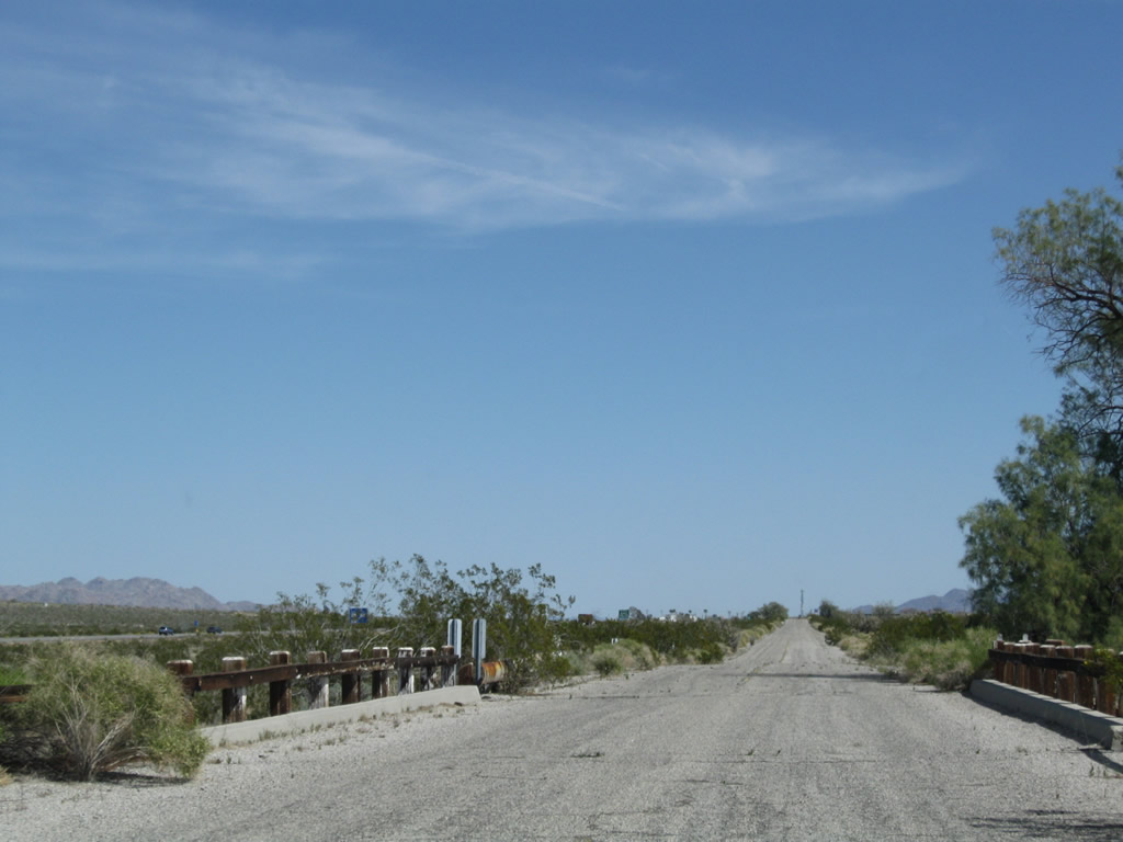
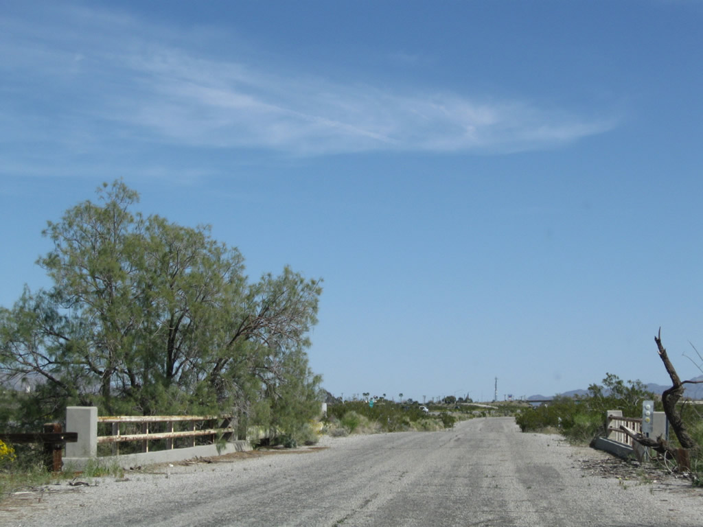
| Historic U.S. 60-70-U.S. 99 scenes |
|
This old, porcelain-enamel, button-copy stop sign dates to the era when the Automobile Club of Southern California (ACSC) used to maintain and add signs, including route markers and traffic control. Rarely found still in use today, this stop sign was still in use in Banning. Photo taken 07/15/07. |
| Historic U.S. 60-70-99 - Whitewater Cutoff Road east |
|
A narrow concrete bridge carries Whitewater Cutoff Road over Interstate 10 at Exit 114. An old bridge crosses the Whitewater River around the bend ahead. Photo taken 02/25/06. |
|
This ramp connects to Interstate 10 west toward San Bernardino and Los Angeles. Photo taken 02/25/06. |
|
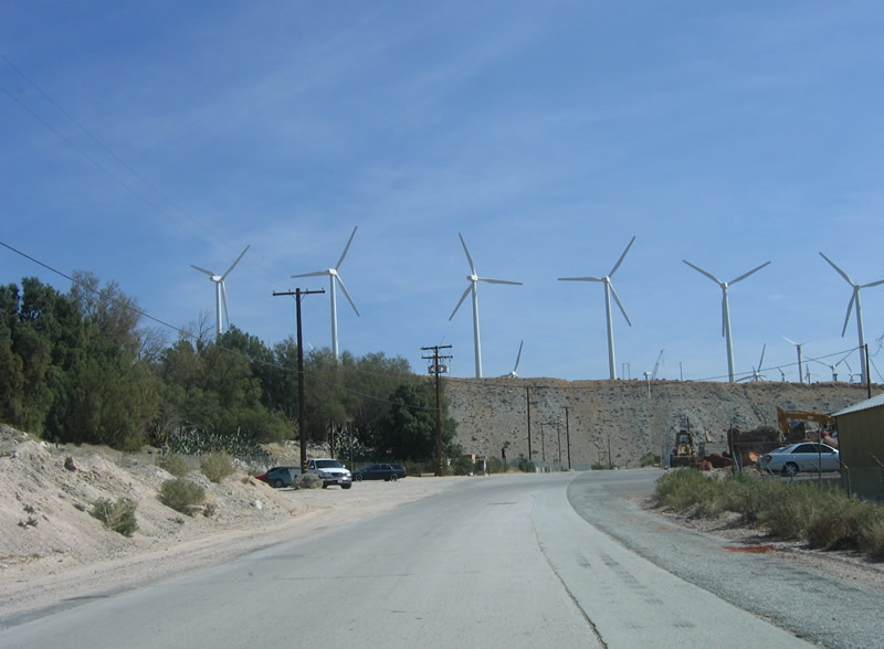
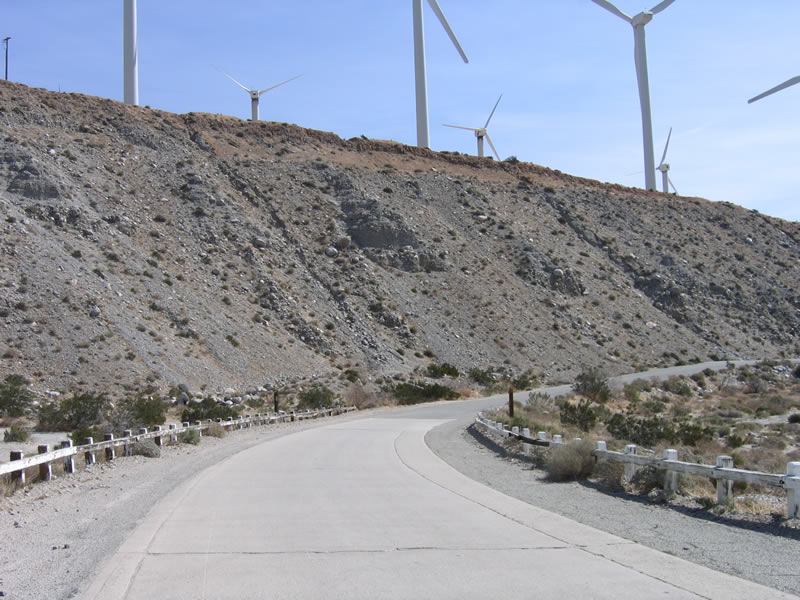
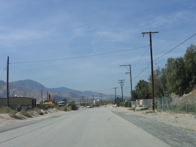
Now passing through the town of Whitewater, Old U.S. 60-70-99 features twin-slab concrete as the old road approaches the Whitewater River bridge. Photo taken 02/25/06. |
|
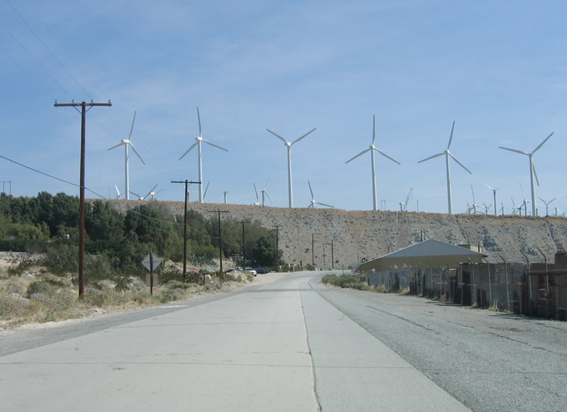
Wind turbines from the San Gorgonio Pass wind farm dominate the view as eastbound U.S. 60-70-99 pass through the small settlement of Whitewater. Photo taken 02/25/06. |
|
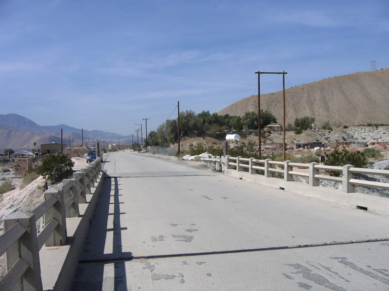
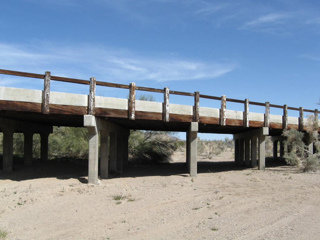
U.S. 60-70-99 used to cross this bridge over the Whitewater River. The Whitewater River drains from Mount San Gorgonio, and during the winter and spring months, water flows through from the high country down toward Palm Springs, the Coachella Valley, and the Salton Sea. Much of the old road standards still remain here, including the banked roadway and approach onto the bridge. Photo taken 02/25/06. |
|
The bridge railings and supports are all made of concrete, just like the bridge deck. This bridge was built in 1925, just before it was signed as U.S. 99 in 1926. According to Casey Cooper's Finding U.S. 99, "The piers [of the bridge] actually are set 20 feet below ground and are anchored to bedrock below the riverbed." This monumental bridge has withstood many floods since it was built so well. Photo taken 02/25/06. |
|
With only two lanes in width, the Whitewater River bridge is fairly narrow and would not be sufficient to meet today's larger vehicles. A replacement pair of bridges were built in 1952 (opened in 1953) as part of the new U.S. 60-70-99 expressway. These bridges are is now part of the Interstate 10 bridges that span the river. (The bridges were widened to eight lanes in 1967.) Photo taken 02/25/06. |
|
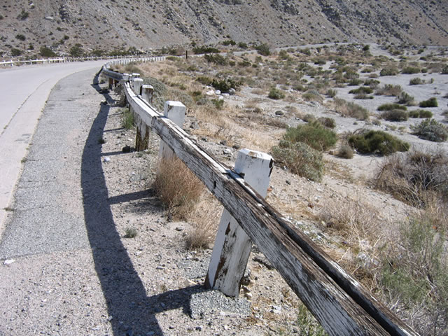
At the east end of the bridge, the old U.S. 60-70-99 roadway banked to the south, with white wooden fencing still in place to act as guardrail. Photo taken 02/25/06. |
|
The shoulder of this old road was widened a bit with concrete and again with asphalt. At one time, this road was striped. Photo taken 02/25/06. |
|
After making the banked turn to the south, the old road reverts from concrete to asphalt. Photo taken 02/25/06. |
|
The fence guardrail has certainly seen some better days, especially considering the baking sun in the desert. However, it is still used today, and it is in fairly decent condition considering the age of the road and bridge. Photo taken 02/25/06. |
| Historic U.S. 60-70-99 - Whitewater Cutoff Road west |
|
U.S. 60-70-99 westbound prepare to cross over the Whitewater River, which was built in 1925. The concrete road leading to the bridge was also built during this time frame. Photo taken 02/25/06. |
|
The bridge railings and supports are all made of concrete, just like the bridge deck. Photo taken 02/25/06. |
|
For a bridge that is 80 years old, it is in remarkably good condition. Photo taken 02/25/06. |
|
A few expansion joints such as this one separate out the sections of the bridge as U.S. 60-70-99 cross over the Whitewater Bridge. Photo taken 02/25/06. |
|
On the other side of the Whitewater River bridge, U.S. 60-70-99 continues west toward the settlement of Whitewater. Photo taken 02/25/06. |
|
This section of old road retains its concrete, which is uncommon for much of old U.S. 60-70-99 in the desert. Photo taken 02/25/06. |
|
Originally, the concrete road continued straight ahead over the freeway. It was realigned in the early 1950s when the new U.S. 60-70-99 expressway was built. Photo taken 02/25/06. |
|
Returning to Interstate 10, the first ramp connects to westbound en route to Los Angeles. Photo taken 02/25/06. |
|
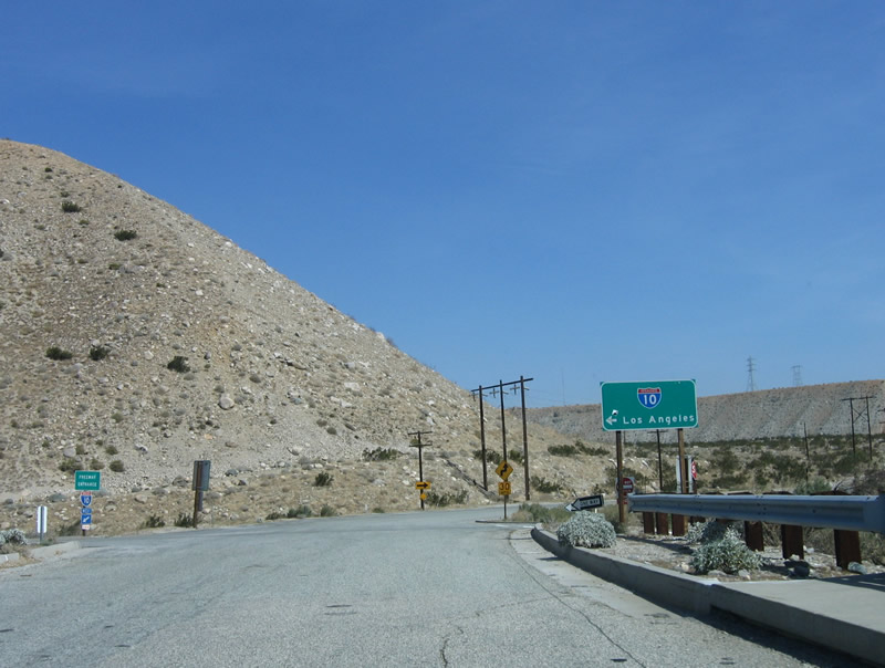
After crossing over Interstate 10, the next ramp connects to eastbound Interstate 10 en route to Indio, Blythe, and Phoenix, Arizona. Photo taken 02/25/06. |
|
Whitewater Cutoff Road transitions directly onto Tipton Road, which carries former U.S. 60-70-99 along the south side of Interstate 10. Tipton Road connects with California 111 (Palm Canyon Drive) southwest of here. Photo taken 02/25/06. |
|
After merging back onto Interstate 10 eastbound, this freeway entrance sign advises of the transition from Whitewater Cutoff Road onto the freeway. Photo taken 02/25/06. |
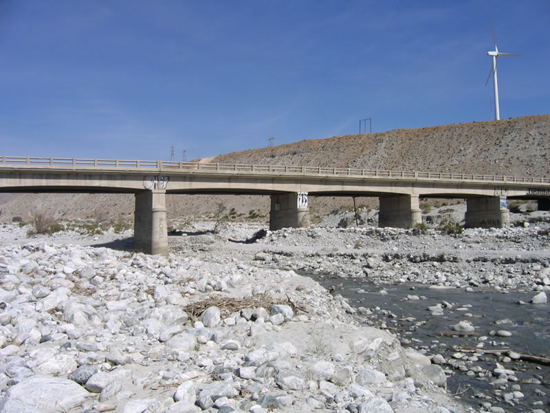
| Historic U.S. 60-70-99 - Whitewater River Bridge |
|
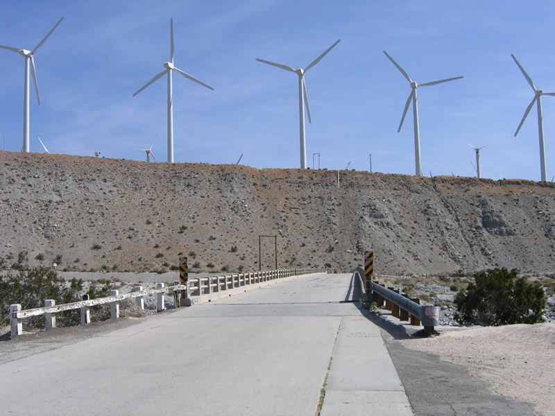
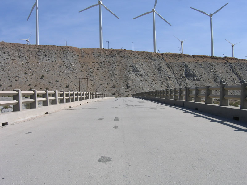
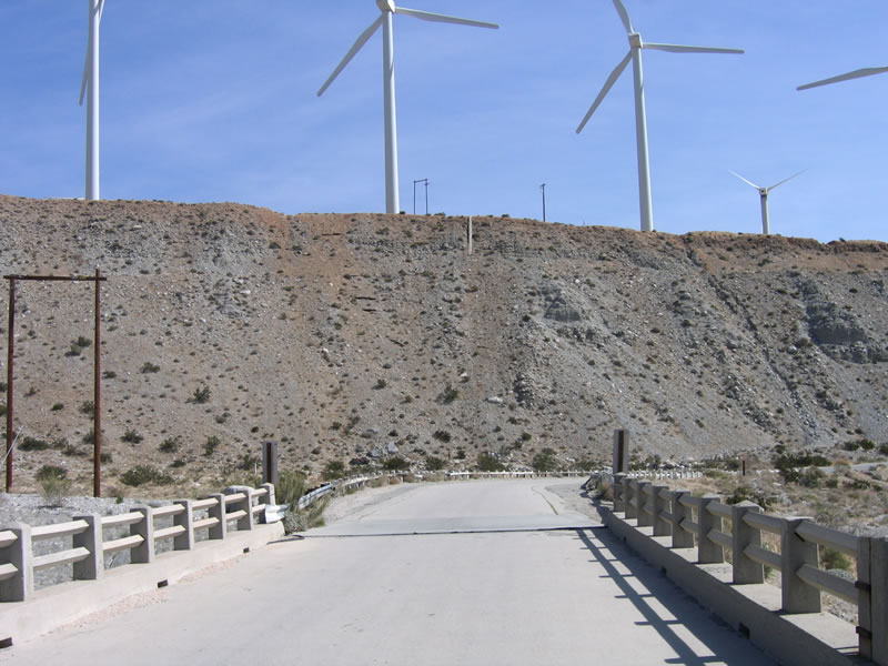
The Whitewater River bridge carries Old U.S. 60-70-99 over the Whitewater River near Whitewater, which is northwest of Palm Springs. This bridge is visible to motorists driving by on Interstate 10. Photo taken 02/25/06. |
|
Wind turbines that grace San Gorgonio Pass hover above the Whitewater River bridge. Photo taken 02/25/06. |
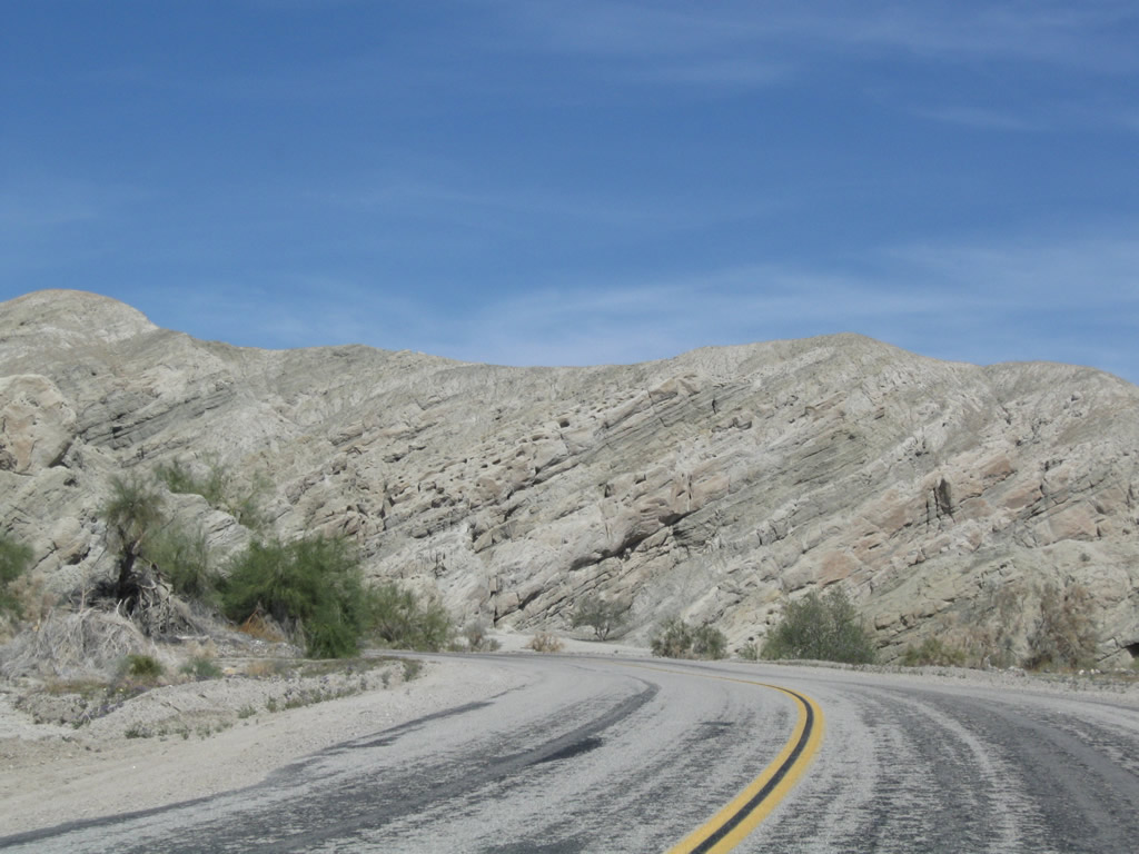
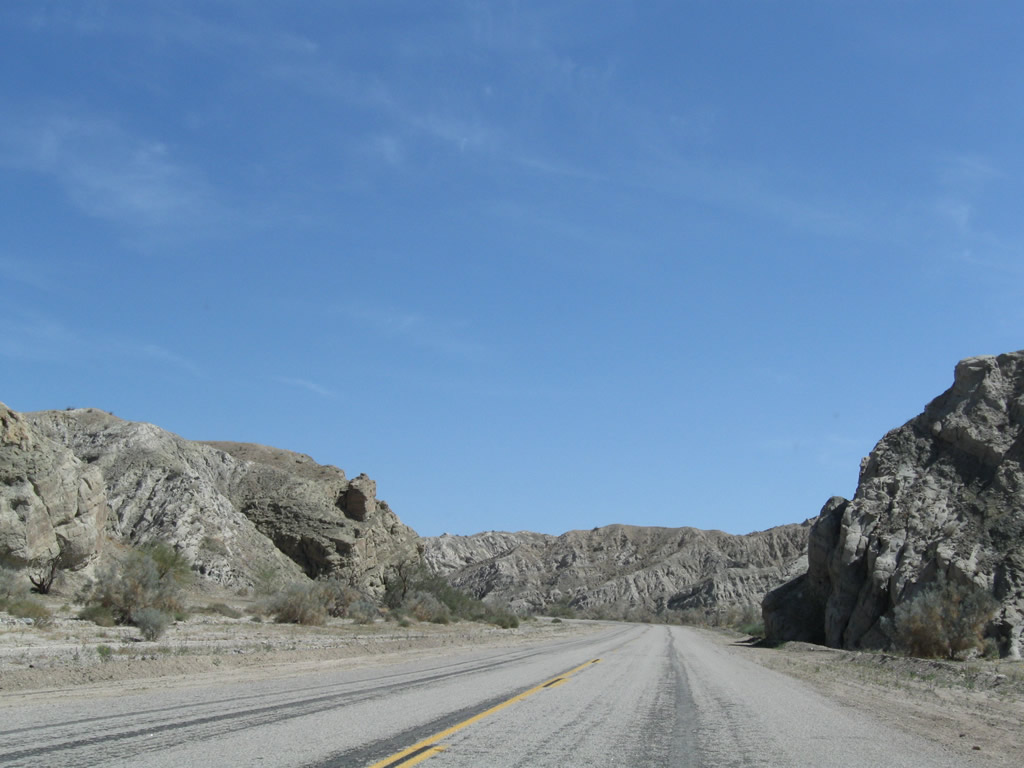
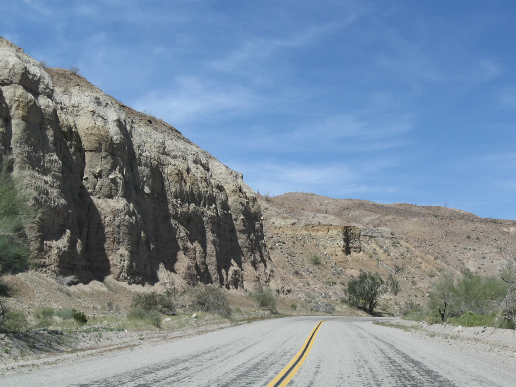
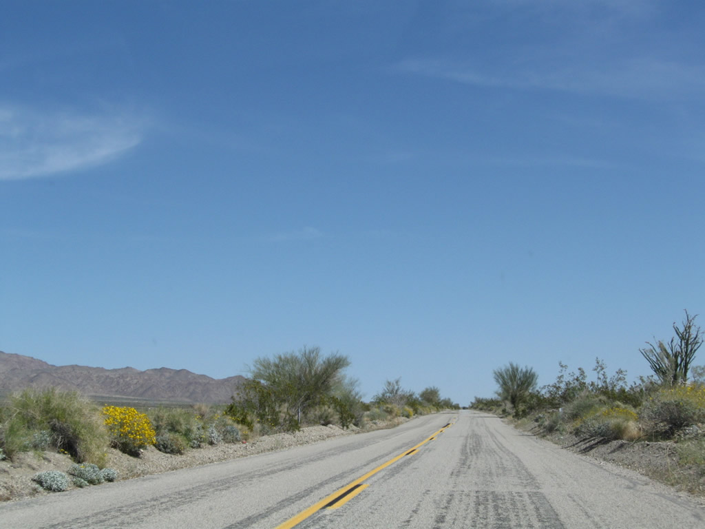
| Historic U.S. 60-70 - Box Canyon Road east |
|
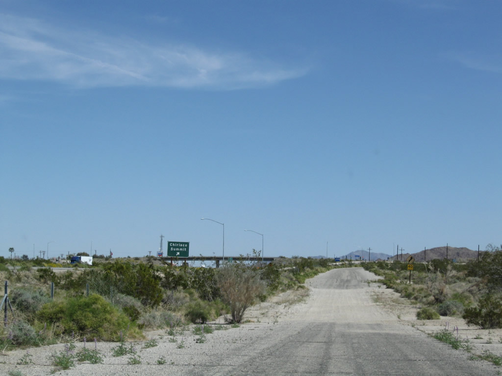
Former U.S. 60-70-99 used to follow California 86 (Indio Boulevard) from Indio into Coachella, where Indio Boulevard becomes Grapefruit Boulevard. The two east-west routes divided from U.S. 99 at the intersection of Harrison Street and Grapefruit Boulevard. While U.S. 99 turned south on Harrison Street, U.S. 60-70 continued southeast along Grapefruit Boulevard to Thermal and ulimately Mecca, where U.S. 60-70 turned east. U.S. 60-70 crossed the railroad via 4th Street into the unincorporated community of Mecca. Upon crossing the railroad tracks, U.S. 60-70 turned south onto Hammond Road. Photo taken 03/14/09. |
|
After a few blocks, U.S. 60-70 turned east from Hammond Road onto 66th Avenue east toward Box Canyon. Photo taken 03/14/09. |
|
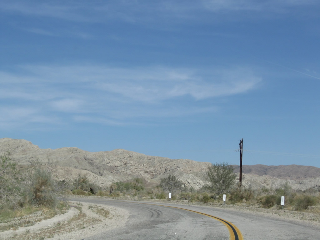
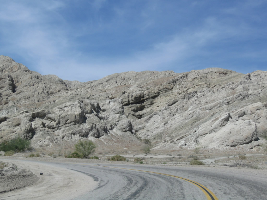
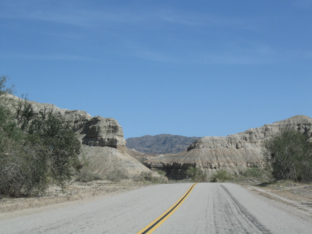
Former U.S. 60-70 travels east through Mecca toward Box Canyon, which sits between the Mecca Hills and Orocopia Mountains. Photo taken 03/14/09. |
|
Eastbound Historic U.S. 60-70 (66th Avenue) (former California 195) meets Johnson Street at this stop sign. Citrus orchards abound on all corners at this intersection. Photo taken 03/14/09. |
|
A lonely palm tree rises above a vineyard east of Mecca. Photo taken 03/14/09. |
|
|
|
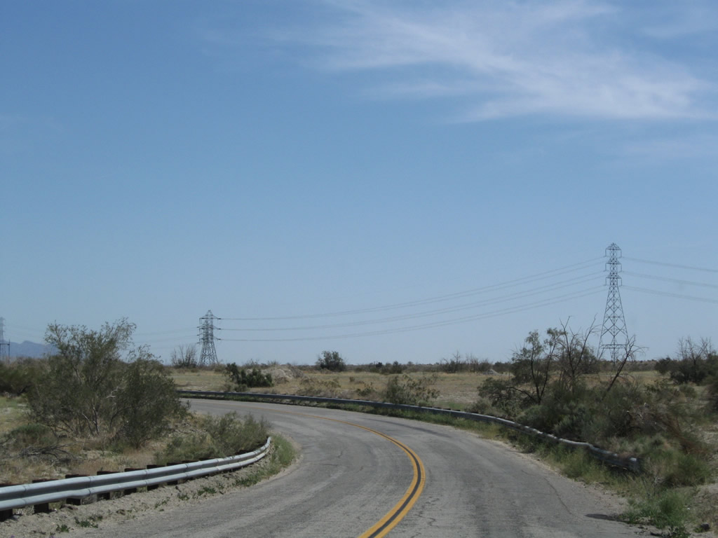
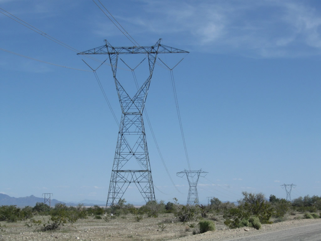
A high voltage power transmission line crosses over Historic U.S. 60-70 (66th Avenue) briefly before the former U.S. route enters Box Canyon. Photos taken 03/14/09. |
|
Upon making the sharp turn northeast, old U.S. 60-70 leaves 66th Avenue and shifts onto Box Canyon Road. The scenery shifts from agriculture to desert canyon. Photo taken 03/14/09. |
|
Eastbound Historic U.S. 60-70 approaches the Coachella Canal. Photo taken 03/14/09. |
|
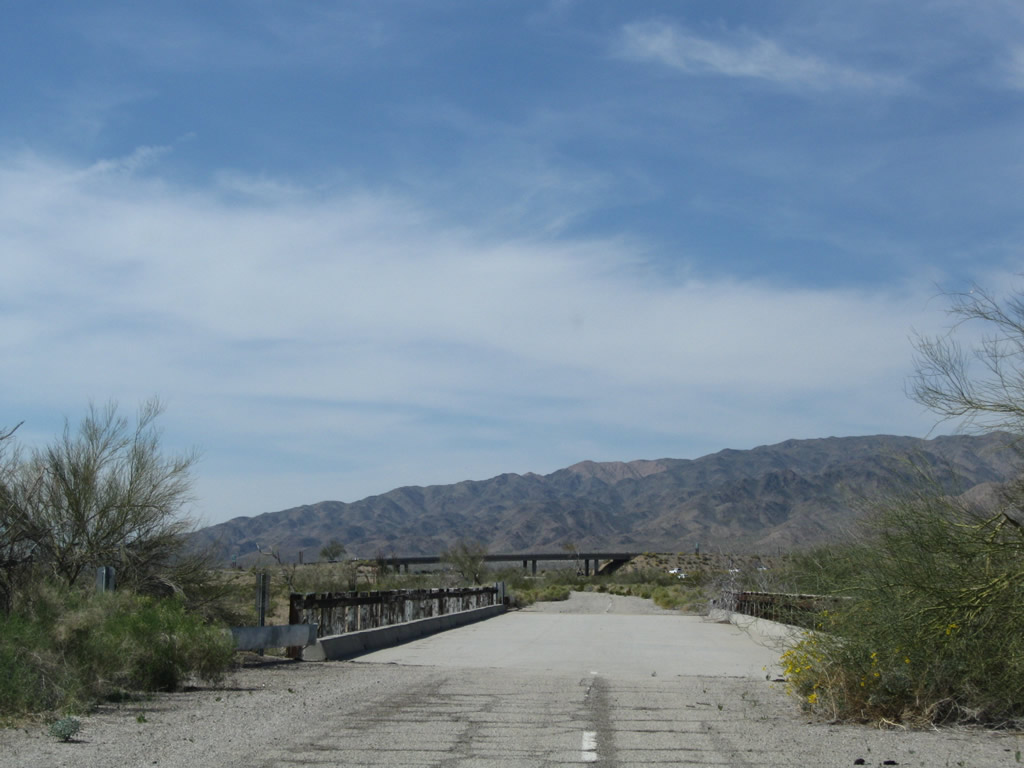
An old bridge carries old U.S. 60-70 over the Coachella Canal. Photo taken 03/14/09. |
|
|
|
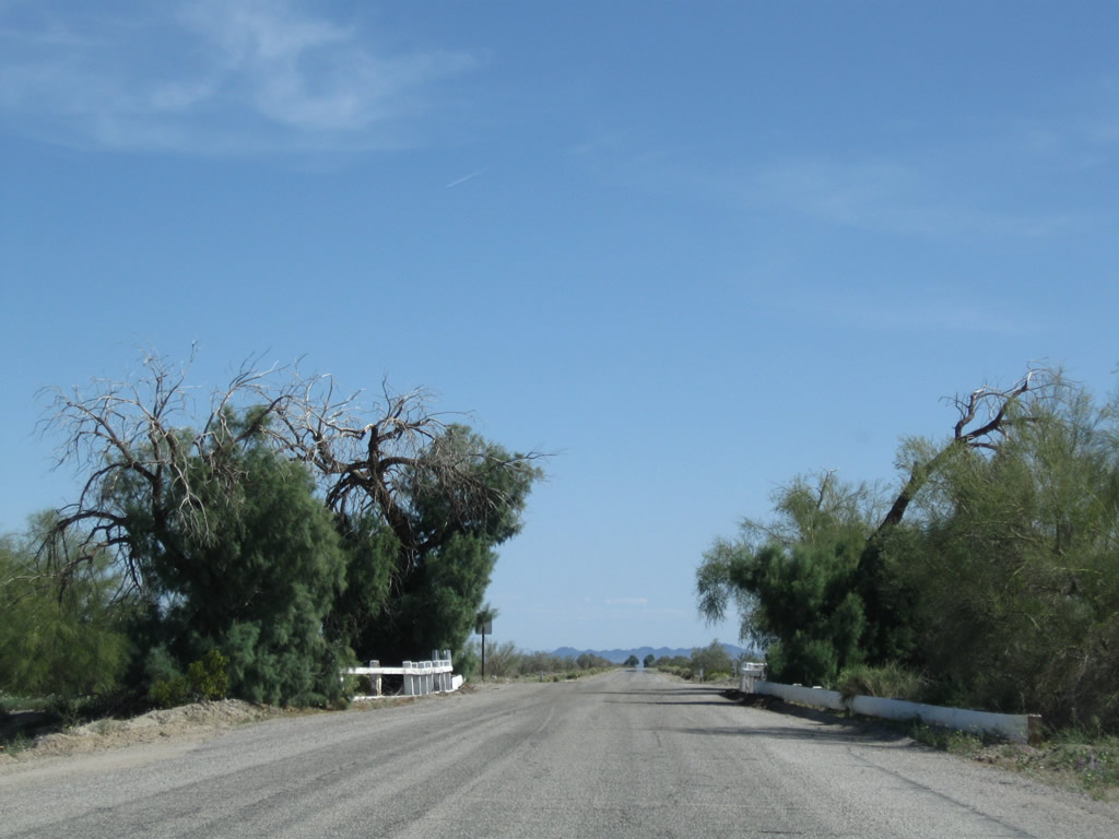
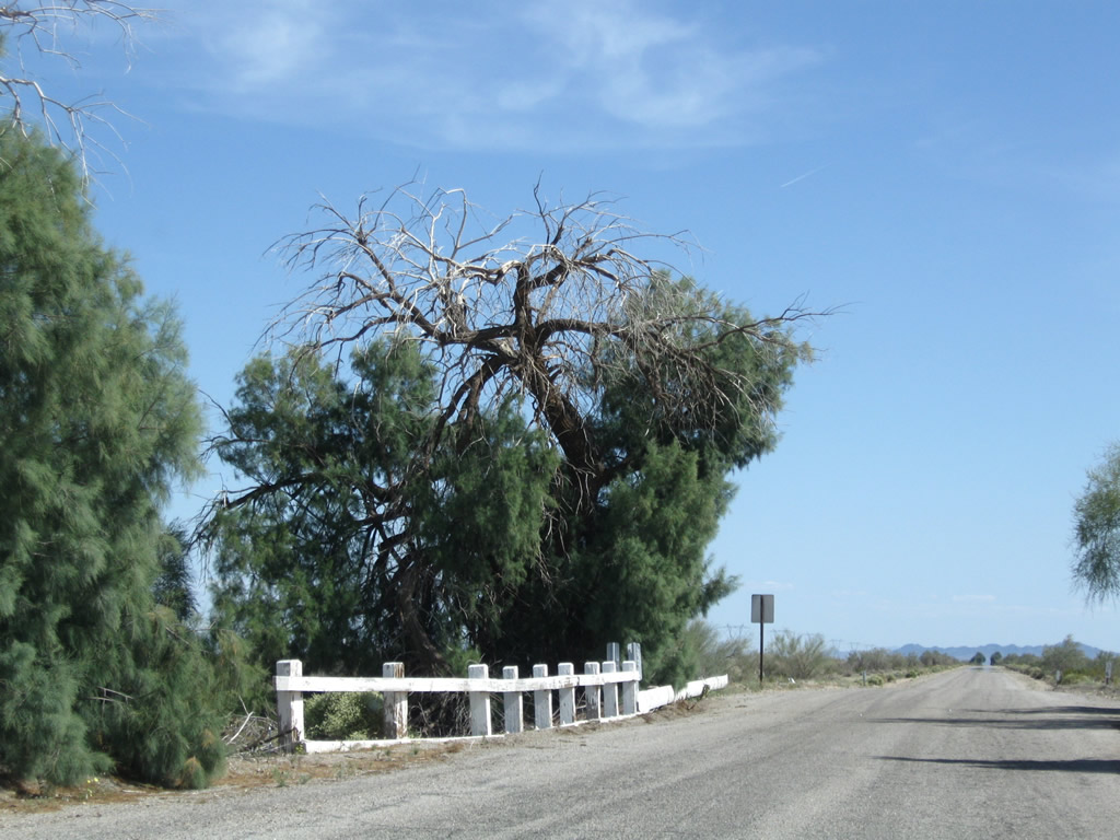
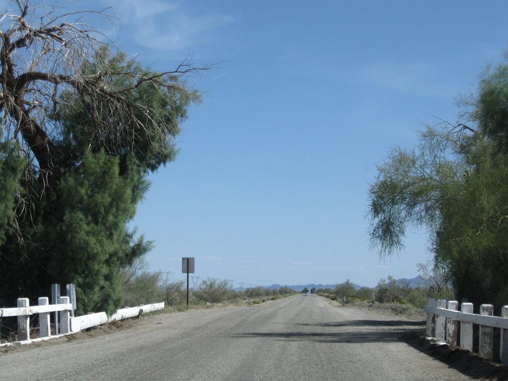
Much of old U.S. 60-70 east of the Coachella Canal looks like old road: narrow with no shoulders, sharp curves, limited road cuts, and deteriorating asphalt. With limited traffic, this road is meant to be enjoyed as it was back when it served as the principal route east to Blythe and Phoenix. Photos taken 03/14/09. |
|
|
|
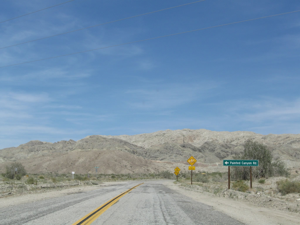
Eastbound Historic U.S. 60-70 (Box Canyon Road) approaches Painted Canyon Road. Photos taken 03/14/09. |
|
|
|
|
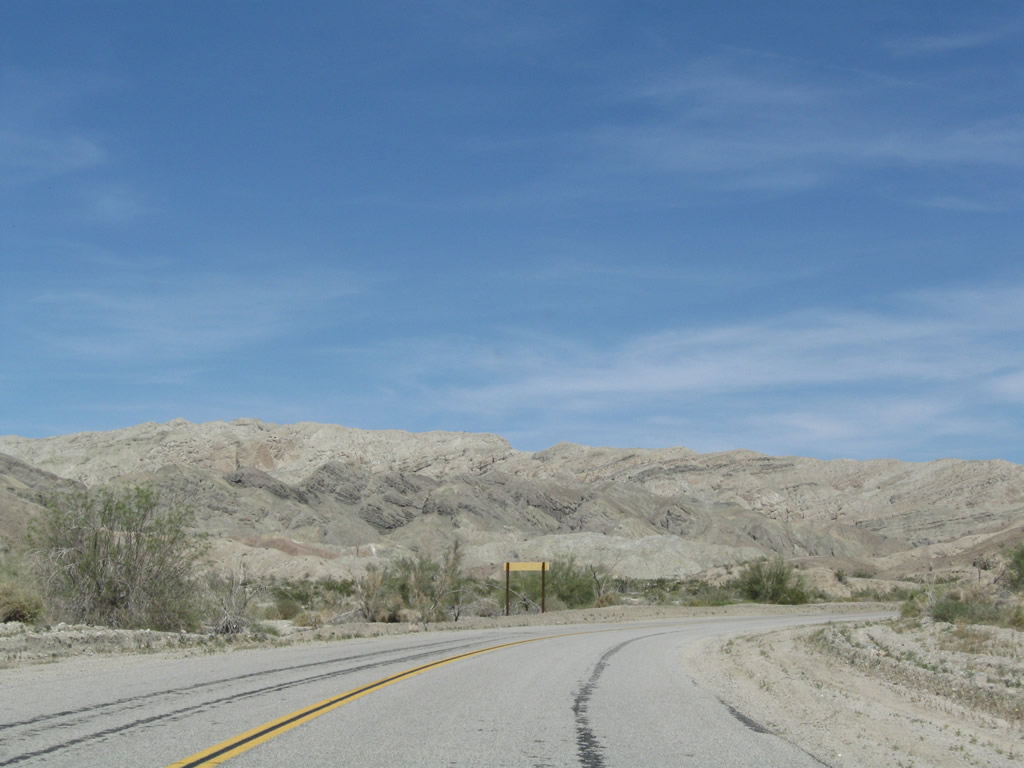
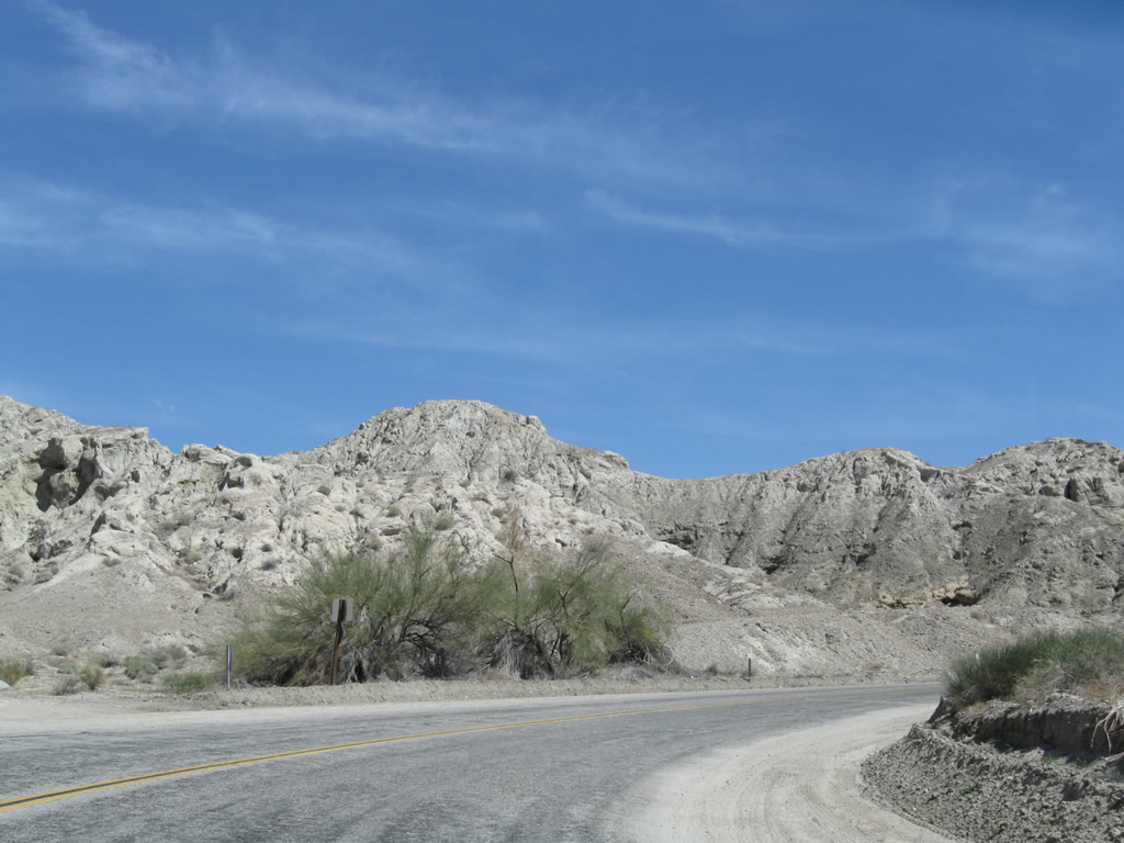
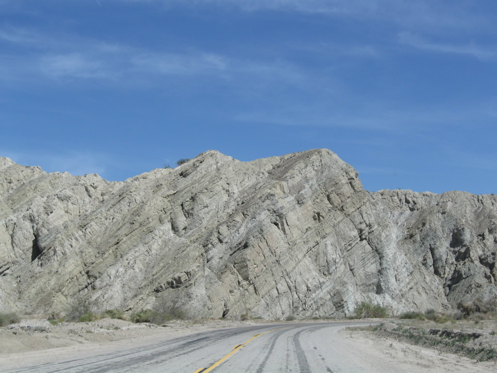
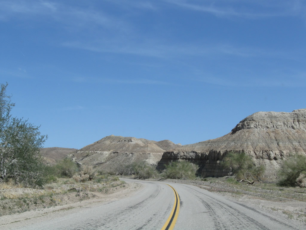
For about ten miles, eastbound Historic U.S. 60-70 passes through Box Canyon. Sandstone rock formations line both sides of the canyon, which is subject to flooding during rainstorms during winter and summer monsoons. Palo verde and sage scrub grows near the canyon floor, but life is otherwise limited in Box Canyon. The twisting rock formations add a colorful look to the canyon, especially around sunset. Along the route on the south side is the Sheep Hole Oasis. Photos taken 03/14/09. |
|
|
|
|
|
|
|
|
|
|
|
|
|
|
|
|
|
|
|
|
|
Leaving Box Canyon, Historic U.S. 60-70 enters Shavers Valley. To the north, Interstate 10 comes into view, but the old road won't come into contact with Old U.S. 60-70 until we reach Chiriaco Summit. Photo taken 03/14/09. |
|
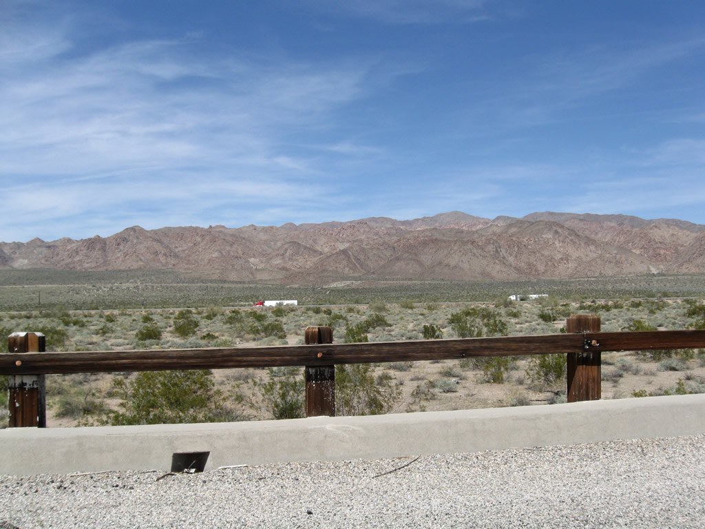
Historic U.S. 60-70 travels almost due north as it enters Shavers Valley. To the north are the Cottonwood Mountains, which separate the Colorado Desert from the Mojave Desert. Behind the Cottonwood Mountains lies Pinto Basin, which is home to Joshua Tree National Park and its unique Joshua Trees found in the Mojave Desert. Photo taken 03/14/09. |
|
Modern road construction would demand the road be flattened and straightened through an area like this, but road construction practices of the 1930s left roads undulating with the existing landscape. Photo taken 03/14/09. |
|
But soon thereafter, eastbound Box Canyon Road makes a turn and then turns northeast on a beeline toward Chiriaco Summit and Interstate 10. Photo taken 03/14/09. |
|
|
|
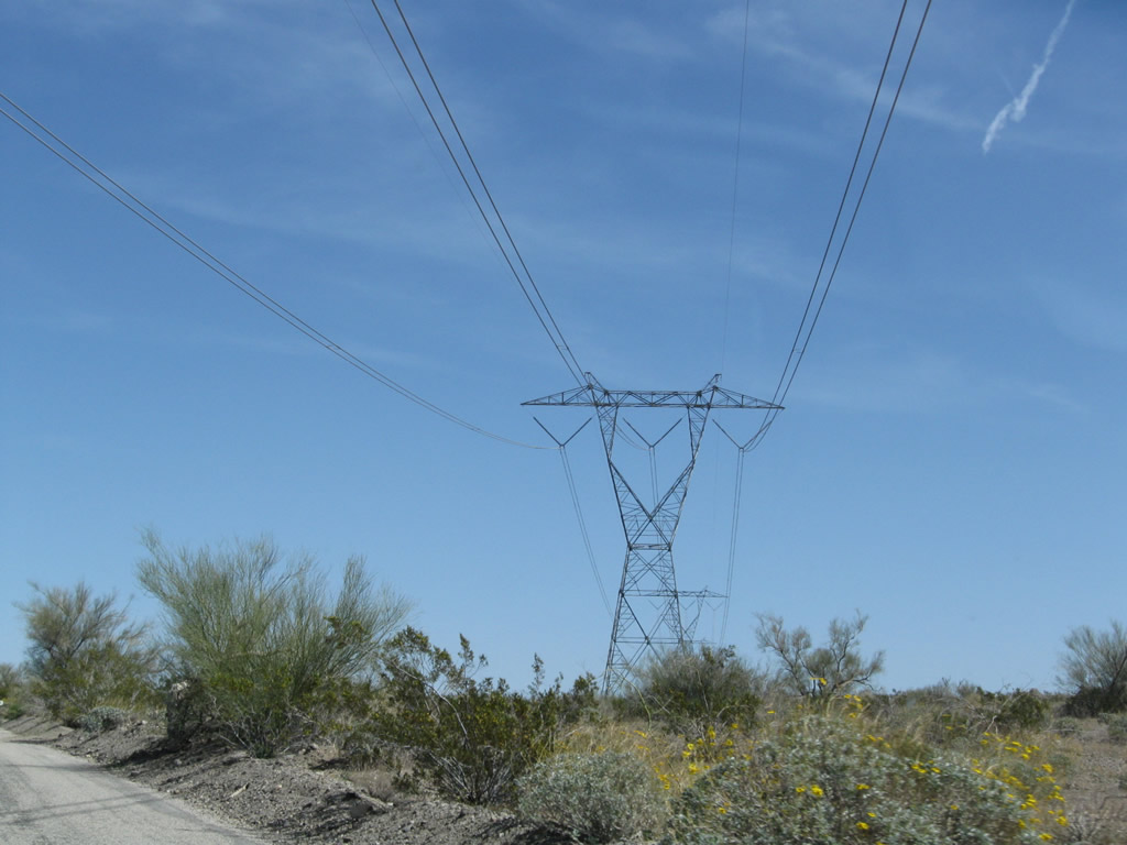
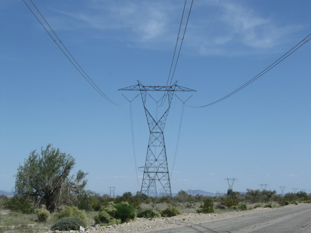
A 500kV Southern California Edison power line crosses over Historic U.S. 60-70 (Box Canyon Road). This transmission line is expected to be paired with another 500kV in coming years as the electrical grid around Southern California is expanded and upgraded. Traveling east from here, the 500kV Palo Verde-Devers line (part of Path 46) interconnects Palm Springs with the Palo Verde Nuclear Generating Station in Arizona. Photos taken 03/14/09. |
|
|
|
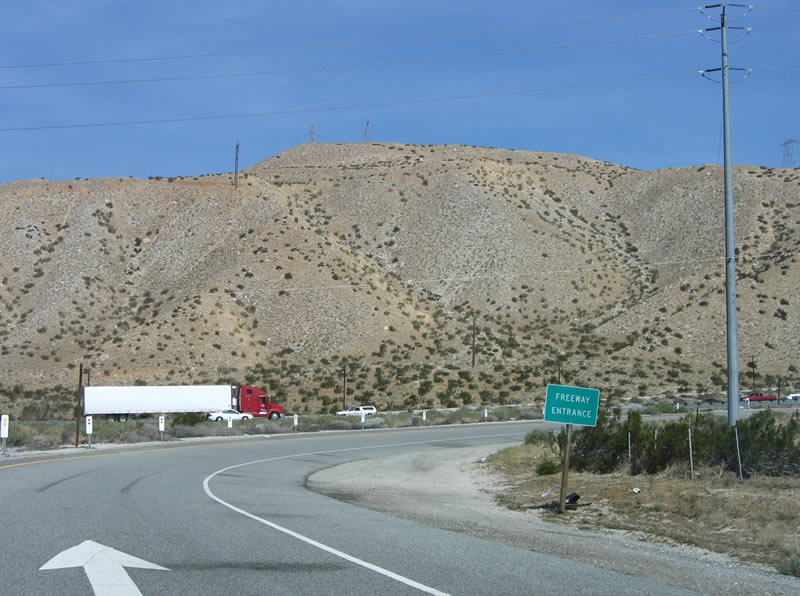
Box Canyon Road continues straight, then turns north to meet up with Interstate 10 at Exit 168. To continue east on former U.S. 60-70, follow Pinto Road east. This gravel road turns right off of Box Canyon Road. Photos taken 03/14/09. |
|
|
|
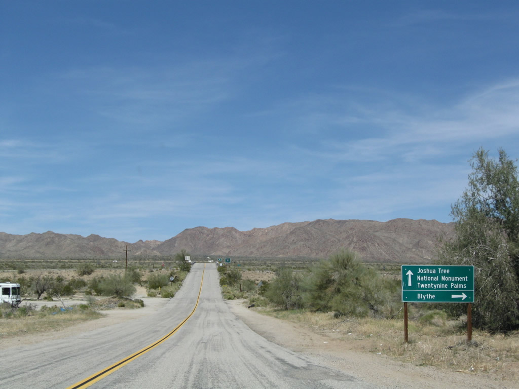
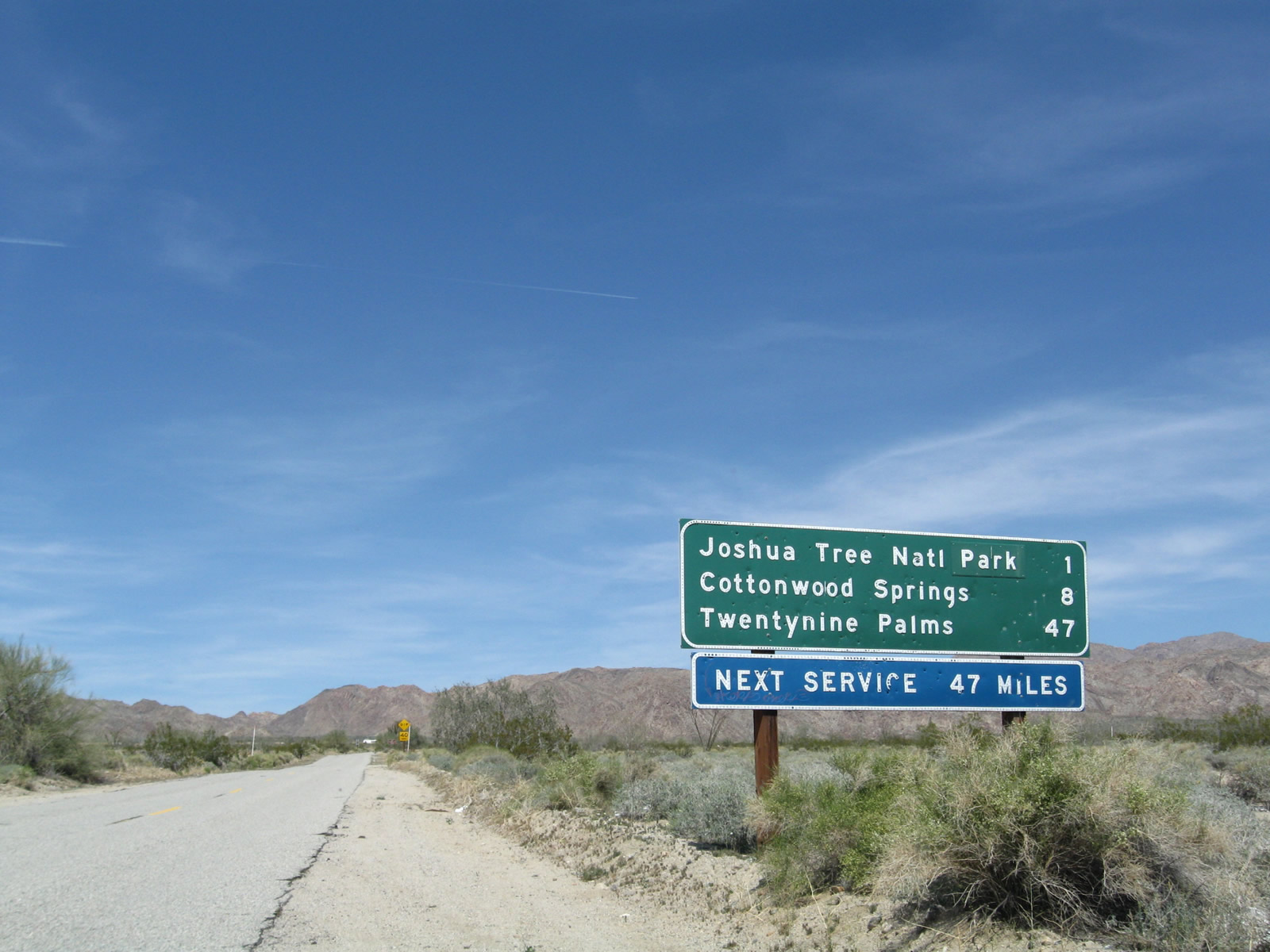
Box Canyon Road travels north and intersects Interstate 10 at the Cottonwood Springs Road interchange (Exit 168). Continue north on Cottonwood Springs Road into Joshua Tree National Park. Interstate 10 travels east to Blythe and Phoenix or west back to the Coachella Valley and Los Angeles. Photos taken 03/14/09. |
|
|
|
| Historic U.S. 60-70 - Box Canyon Road west |
|
A remnant postmile marker for former California 195 is posted along Historic U.S. 60-70 on Box Canyon Road just south of the Interstate 10 interchange. Photo taken 03/14/09. |
| Historic U.S. 60-70 - Pinto Road east |
|
Leaving Box Canyon Road, the section ofold U.S. 60-70 east between the Cottonwood Springs Road interchange and Chiriaco Summit is in much worse condition, as seen here. This view looks east on Pinto Road after the Box Canyon Road intersection; the former route leaves Shavers Valley and enter Maniobra Valley. Photo taken 03/14/09. |
|
Floodwaters have ravaged segments of this roadway, leaving only gravel and sand left on top of the original roadbed. At the top of the hill ahead, a newer alignment of U.S. 60-70 joins Pinto Road. See below for a view of that newer alignment that used to connect to Cottonwood Springs Road at Exit 168. Photo taken 03/14/09. |
|
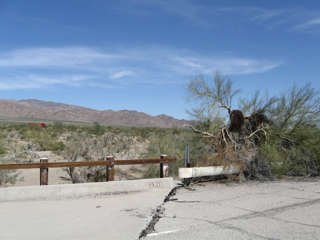
Continuing east after the Pinto Road spur joins eastbound Pinto Road, old U.S. 60-70 is a bit wider since this segment was widened in 1941 (before being replaced by the nearby Interstate). Photo taken 03/14/09. |
|
Another bridge from the same era is found shortly thereafter. The railing for this bridge is more common to the World War II era when surplus supplies were shipped out for the war effort. Hence, old railroad tracks were used for the bridge railing rather than concrete bridge rails found on other comparable bridges. Photo taken 03/14/09. |
|
Yellow and older white lane striping compete for dominance on this stretch of eastbound U.S. 60-70/Pinto Road. Photo taken 03/14/09. |
|
Another bridge more similar to the one found on the Pinto Road spur is found on Pinto Road. Photo taken 03/14/09. |
|
Continuing east is another bridge. Construction of this alignment in the early 1940s included bridges, unlike the older segments through Shavers Valley and Maniobra Valley that have been damaged by seasonal floodwaters. Photo taken 03/14/09. |
|
Other sections of former U.S. 60-70 through Maniobra Valley are completely Photo taken 03/14/09. |
|
Another old bridge carries old U.S. 60-70 over a seasonal wash. Photo taken 03/14/09. |
|
This view looks north through the wooden bridge railing toward the Eagle Mountains. Photo taken 03/14/09. |
|
|
|
This series of photos follows Pinto Road (old U.S. 60-70) east through Maniobra Valley en route to Chiriaco Summit. At the end of the old road, a left turn reconnects the old road to Interstate 10. A final section of old alignment is located at the east end of Chiriaco Summit on the north side of the freeway. There is no traversable old alignment between Chiriaco Summit and Chuckwalla Valley. Photos taken 03/14/09. |
|
|
|
| Historic U.S. 60-70 - Pinto Road Spur west |
|---|
|
|
|
Looking west along the Pinto Road Spur, white striping lines this old alignment of U.S. 60-70. In the distance is the Cottonwood Springs Road interchange and the merge point with the older alignment along Pinto Road. At the end of this abandoned stretch of U.S. Highway is a bridge over a wash, complete with white, wooden railing. The bridge over a wash was built in 1941 (note the date stamp). Photos taken 03/14/09. |
|
|
|
|
|
|
| Historic U.S. 60-70 - Pinto Road Spur east |
|---|
|
|
|
Views looking east of the Pinto Road Spur. At the end of the the spur route, the newer alignment merges back together with the older alignment along Pinto Road. Photos taken 03/14/09. |
|
|
|
|
|
|
|
Leaving the 1941 bridge behind, eastbound U.S. 60-70 along the Pinto Road spur still shows original white lane striping. Photo taken 03/14/09. |
|
A bleached stop sign marks the intersection between the Pinto Road spur and Pinto Road. Eastbound U.S. 60-70 turns left at this stop sign to continue east toward Chiriaco Summit. Photo taken 03/14/09. |
| Historic U.S. 60-70 - Chiriaco Summit Road east |
|
To see another old alignment of U.S. 60-70, travel to the north side of Interstate 10 at Chiriaco Summit. After passing by the gas station and museum, proceed east toward the tall radio tower. You can see white striping on the old road even before reaching the tower. Photo taken 03/14/09. |
|
Beyond the radio tower is another segment of former U.S. 60-70, which also features white striping. This section is impassable and not advised for travel. Photo taken 03/14/09. |
| Historic U.S. 60-70 - Chuckwalla Road east |
|
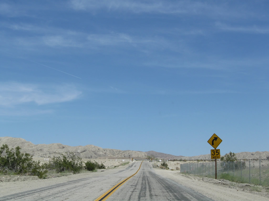
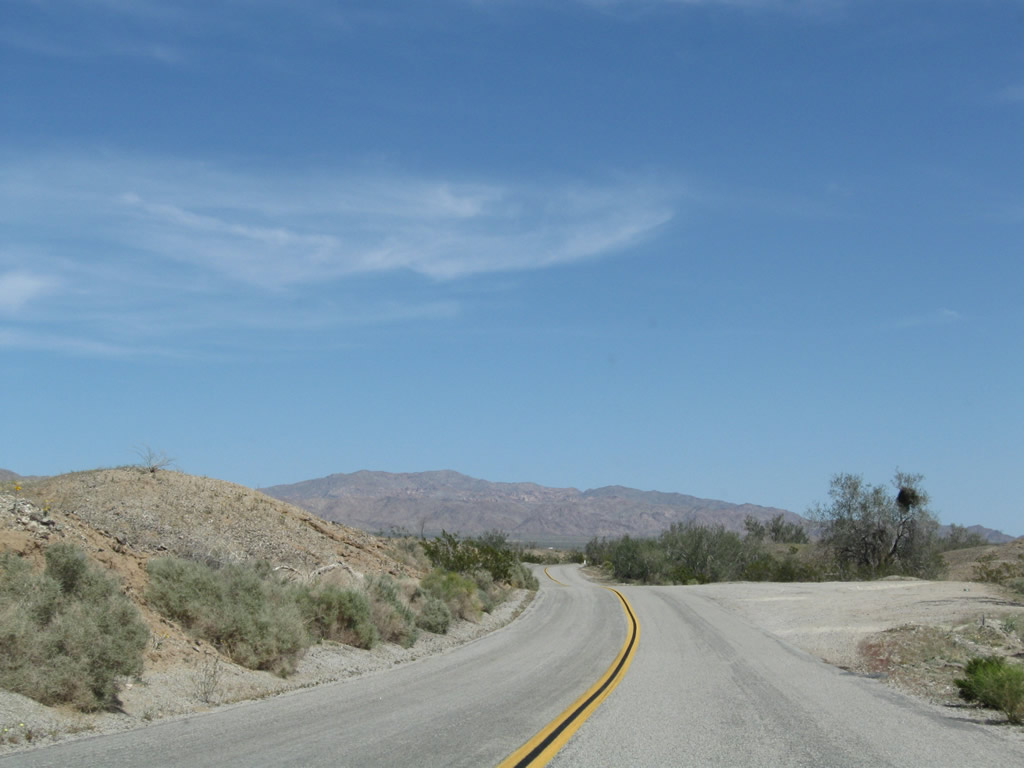
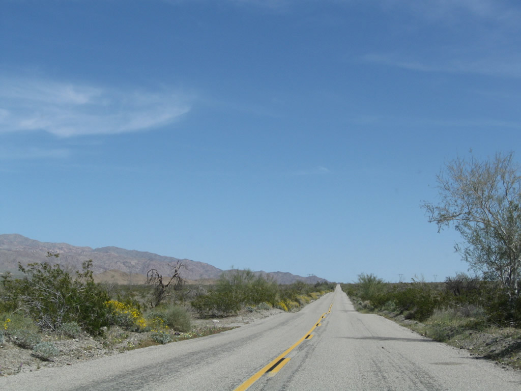
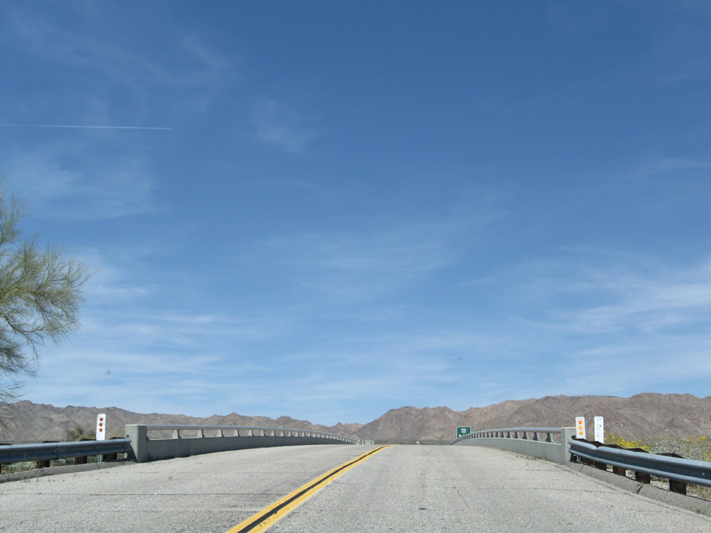
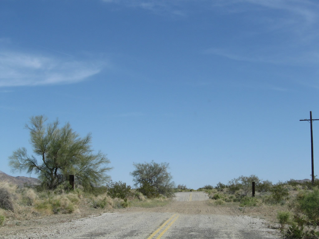
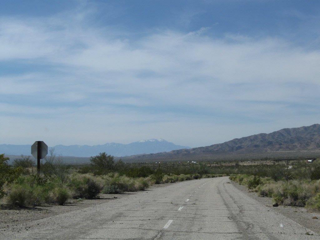
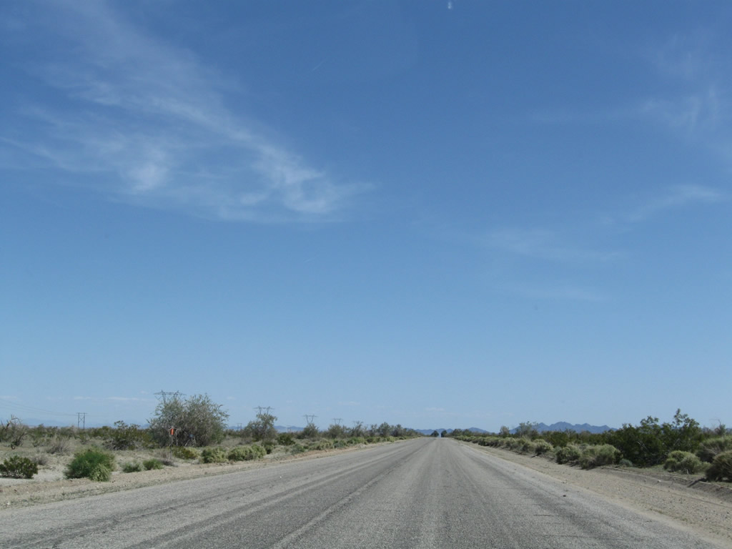
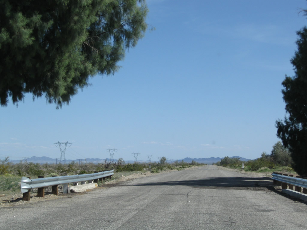
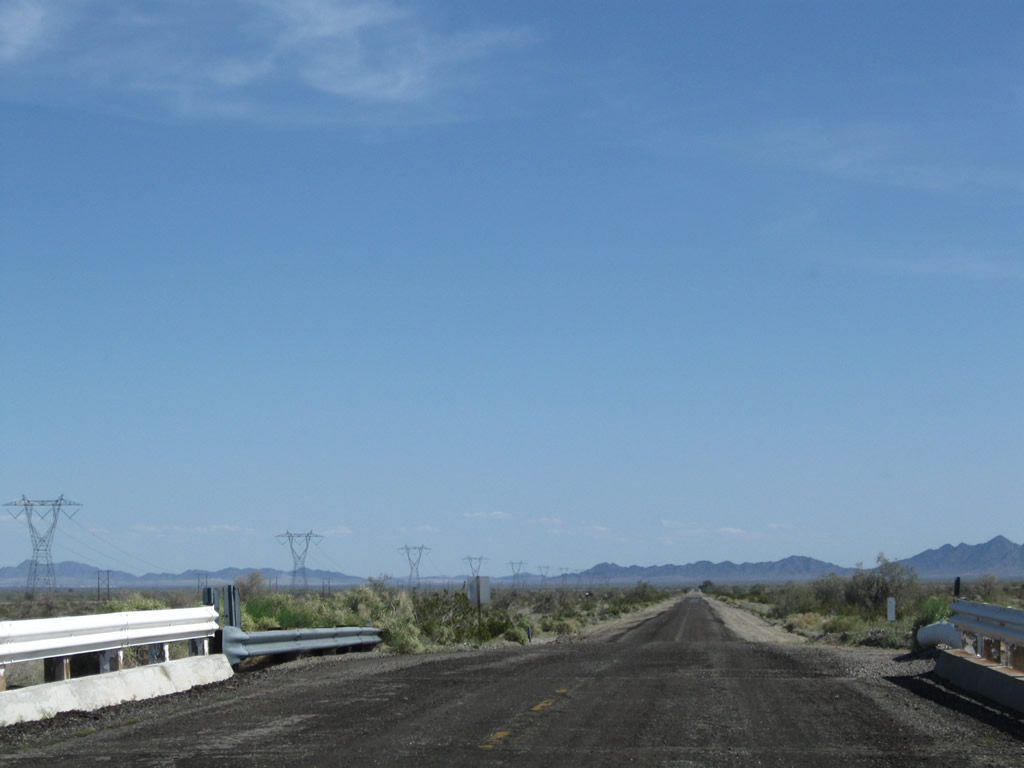
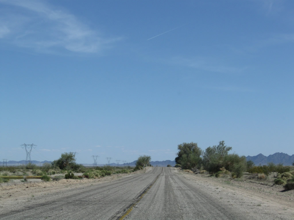
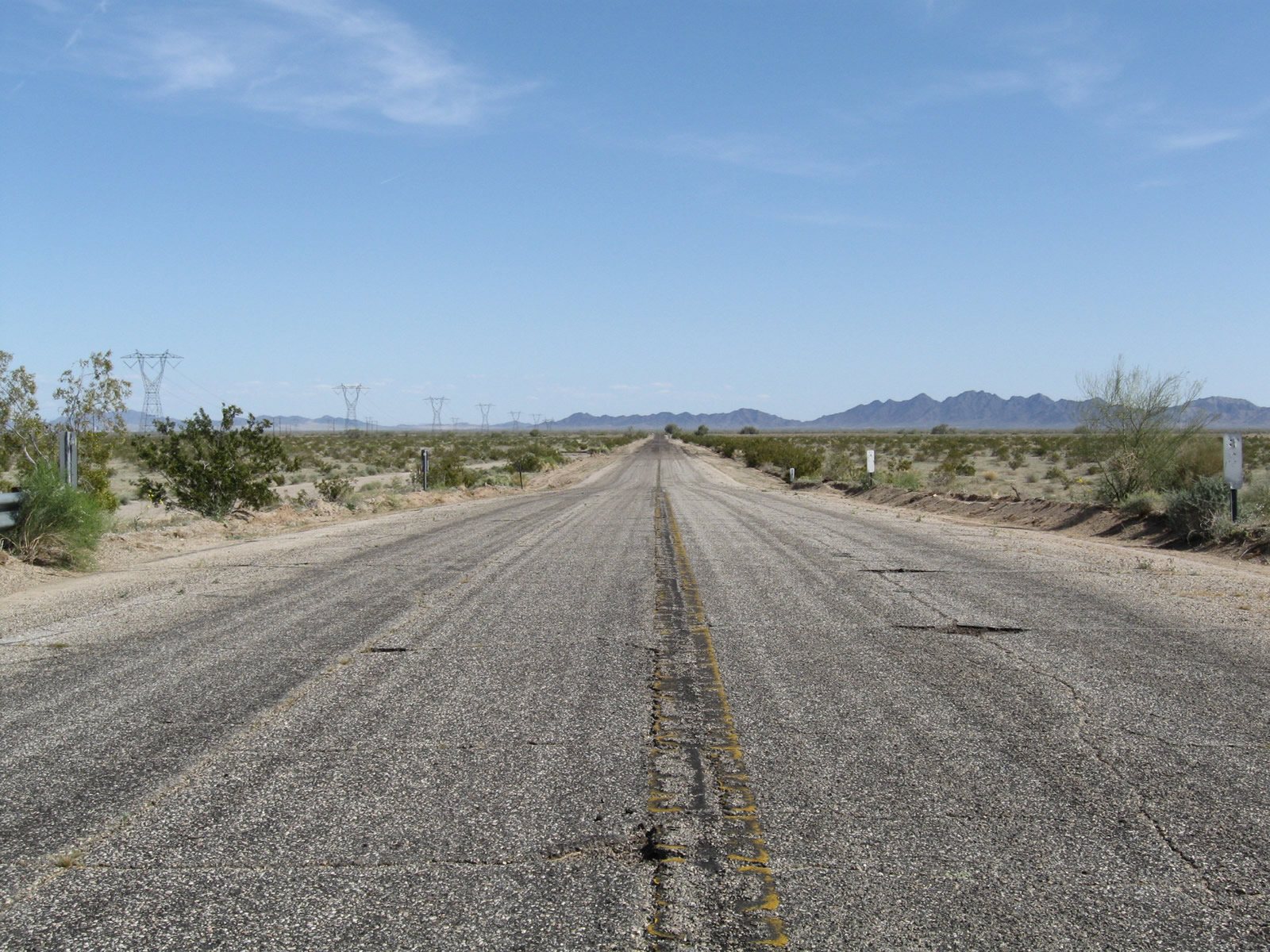
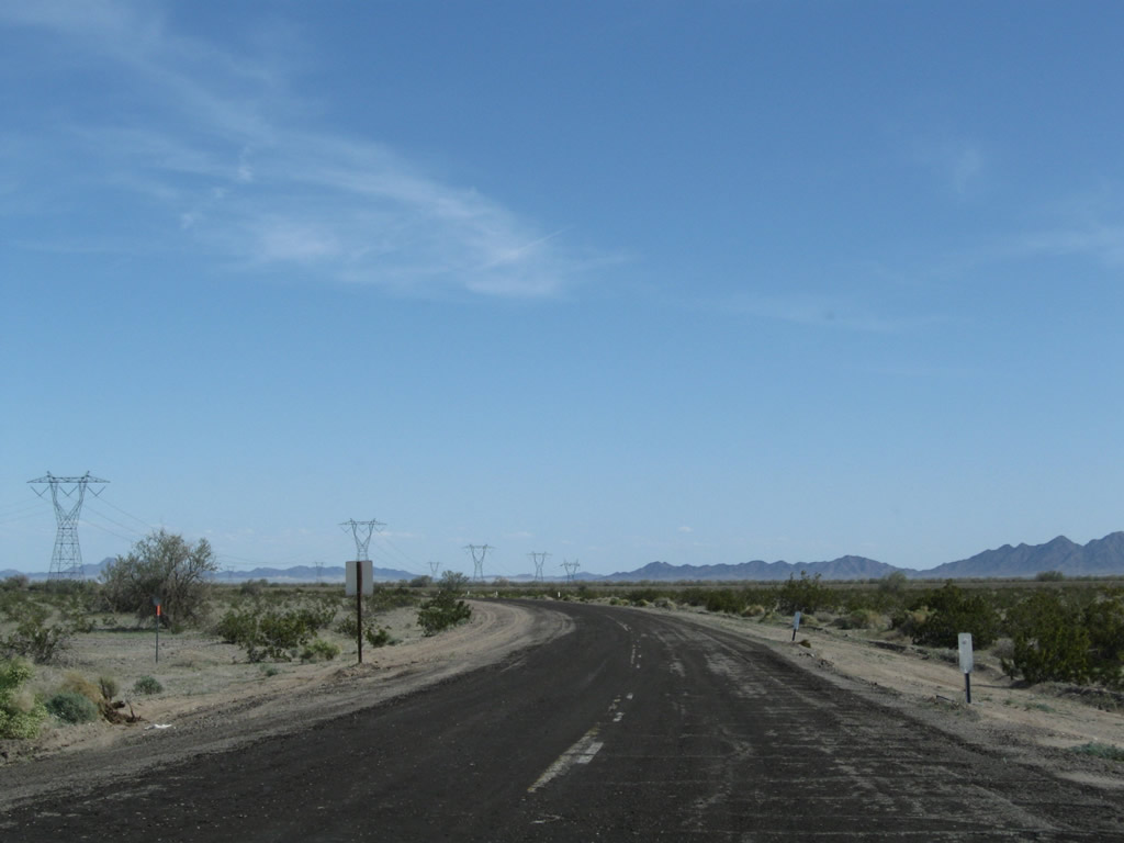
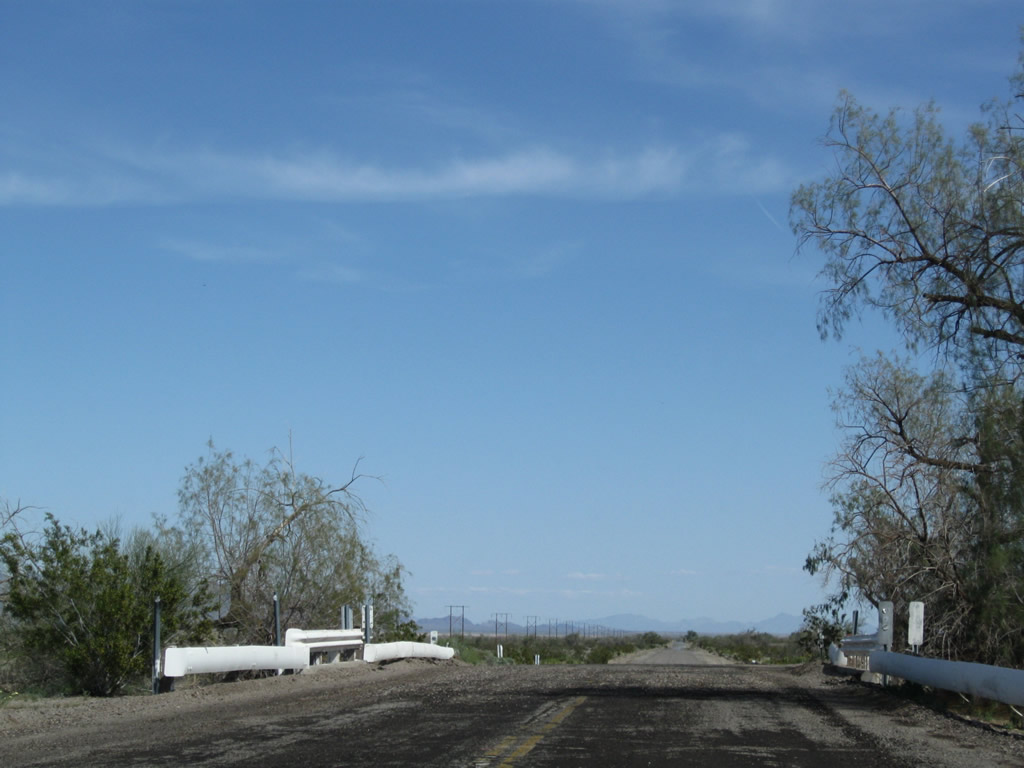
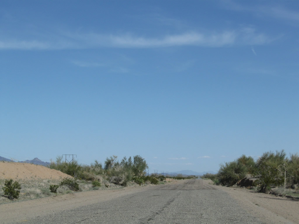
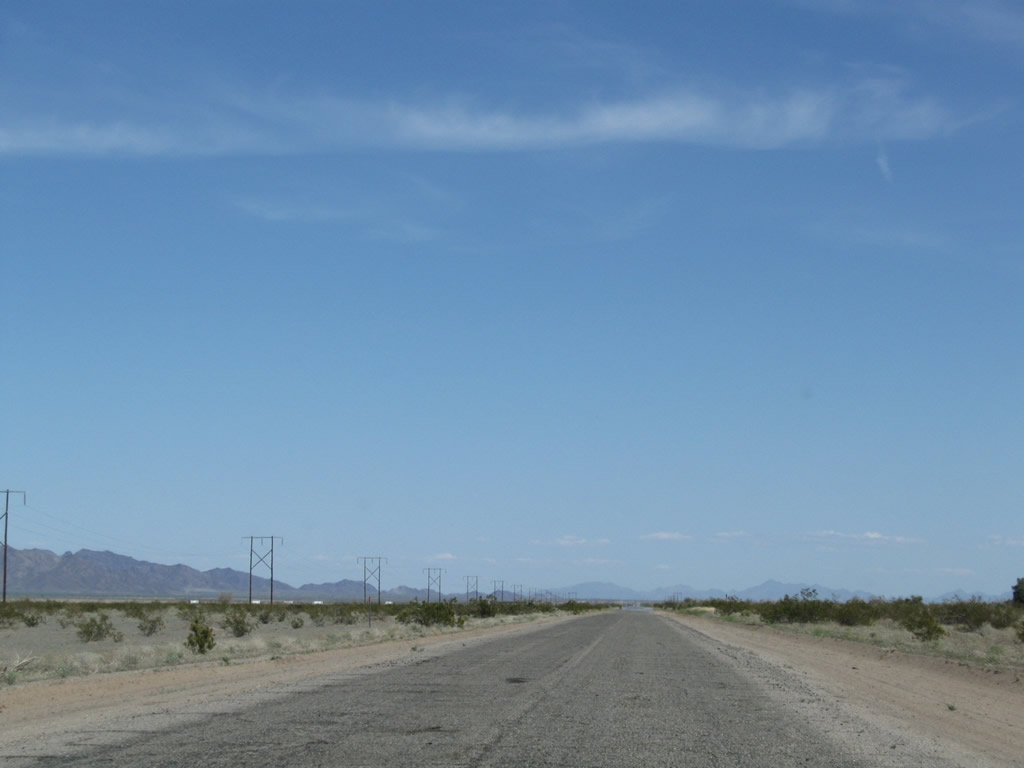
Through Chuckwalla Valley, the former route of U.S. 60-70 remains in use for local access between the Corn Springs Road interchange (Exit 201) and Ford Dry Lake Road (Exit 217). This long, two-lane stretch parallels Interstate 10 to the south of the freeway and offers a traffic-free route through the northern Colorado (Sonora) Desert. The old alignment travels southeast, then turns east before rejoining Interstate 10 at Exit 217. Photo taken 03/14/09. |
|
Eastbound Historic U.S. 60-70 (Chuckwalla Road) approaches Corn Springs Road southwest to Corn Spring and Aztec Well. Photo taken 03/14/09. |
|
|
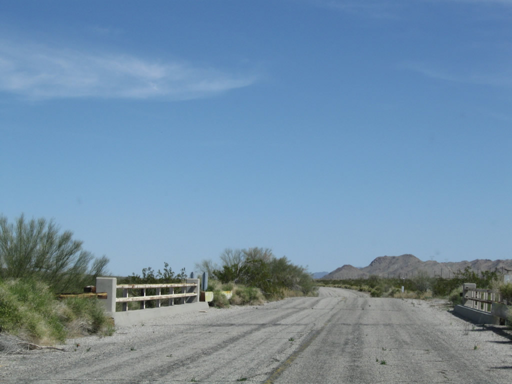
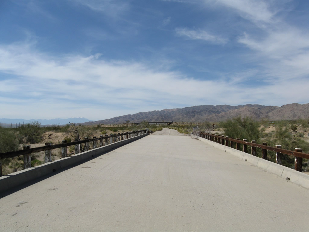
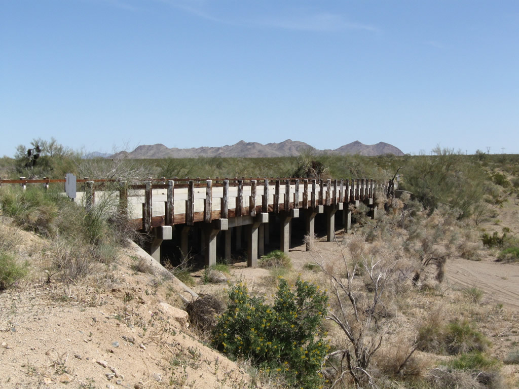
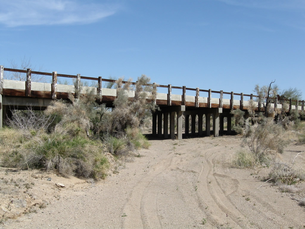
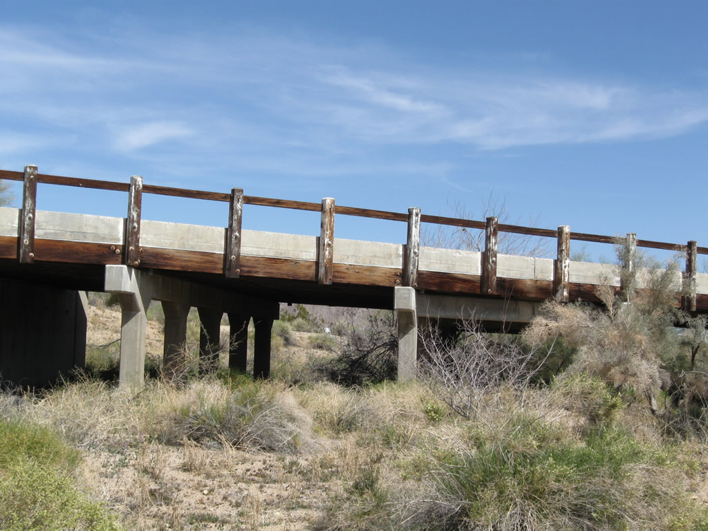
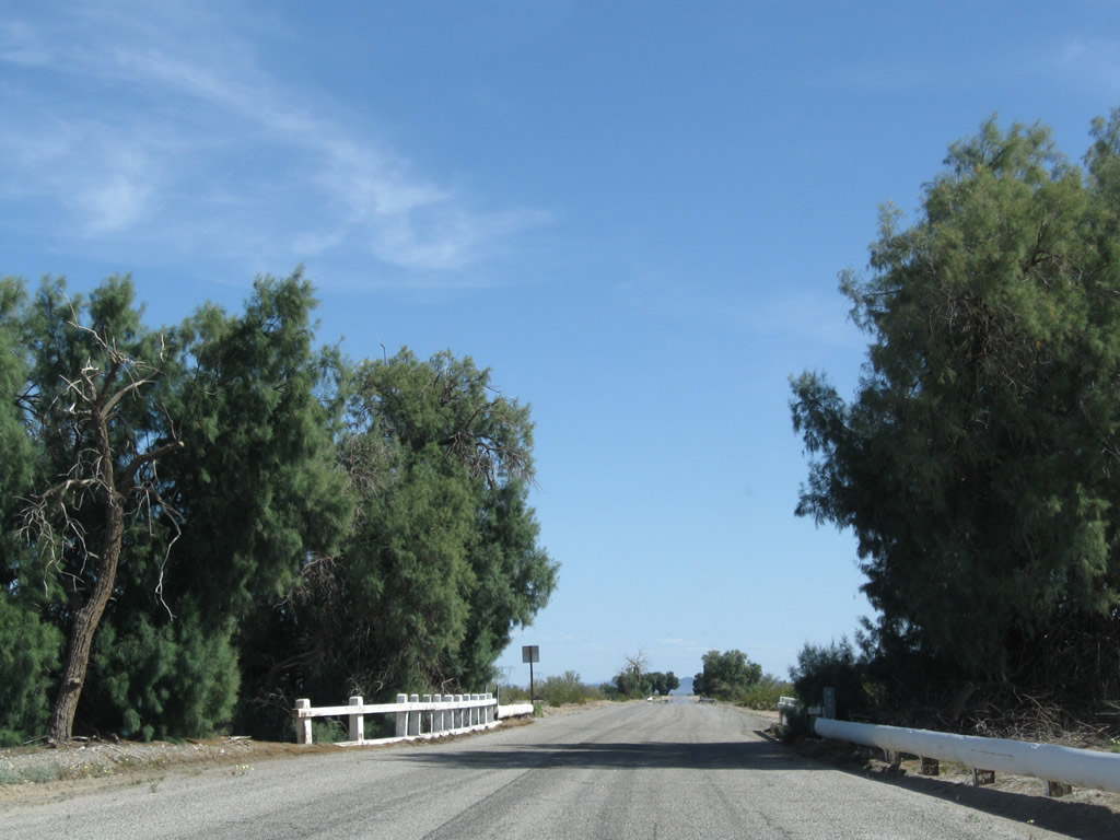
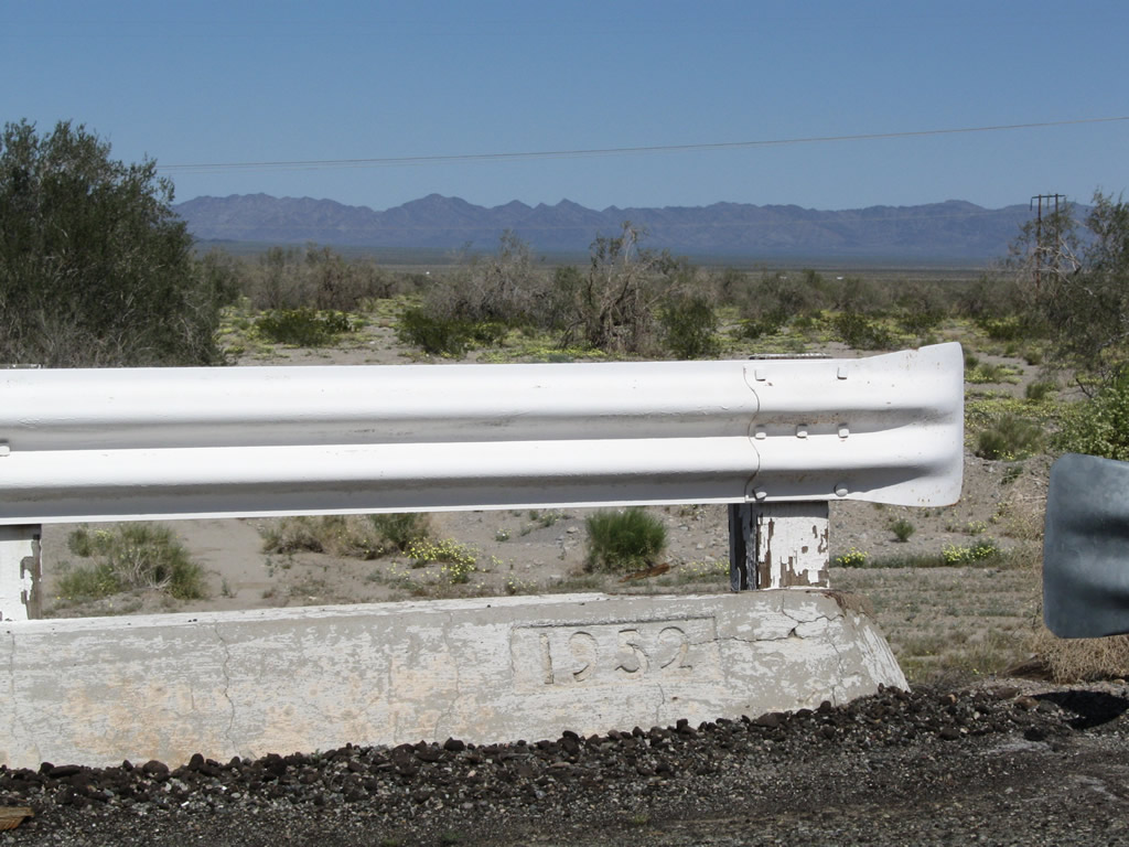
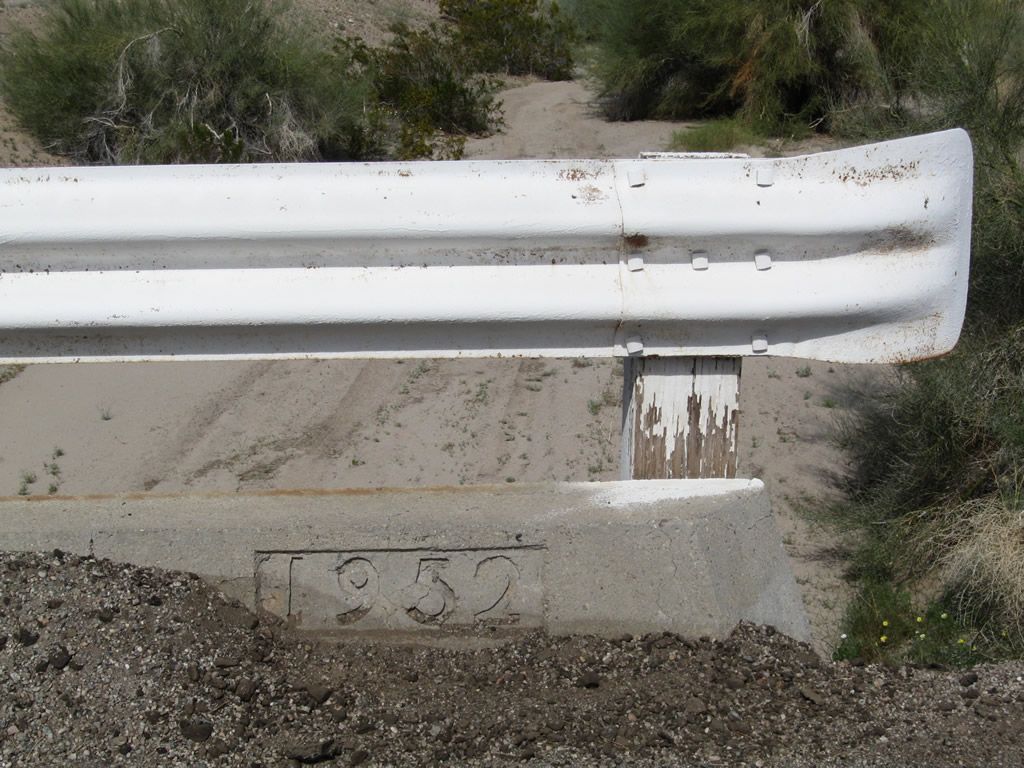
Along Chuckwalla Road, former U.S. 60-70 have several bridges such as this one to direct seasonal floodwaters under the road. Some old white metal guardrail lines the north side of the old route beyond the bridge. Photos taken 03/14/09. |
|
|
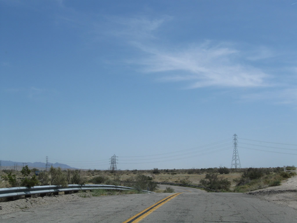
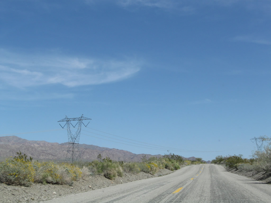
The 500kV power lines again cross over old U.S. 60-70; these lines are the Devers-Palo Verde 500kV lines that connect a nuclear power plant in Arizona with a substation near Palm Springs. It is owned and operated by Southern California Edison and is planned to be doubled in capacity with a second 500kV power line. Photos taken 03/14/09. |
|
|
|
|
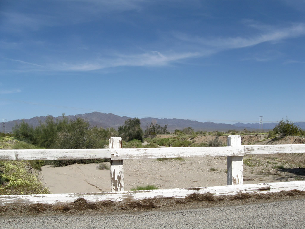
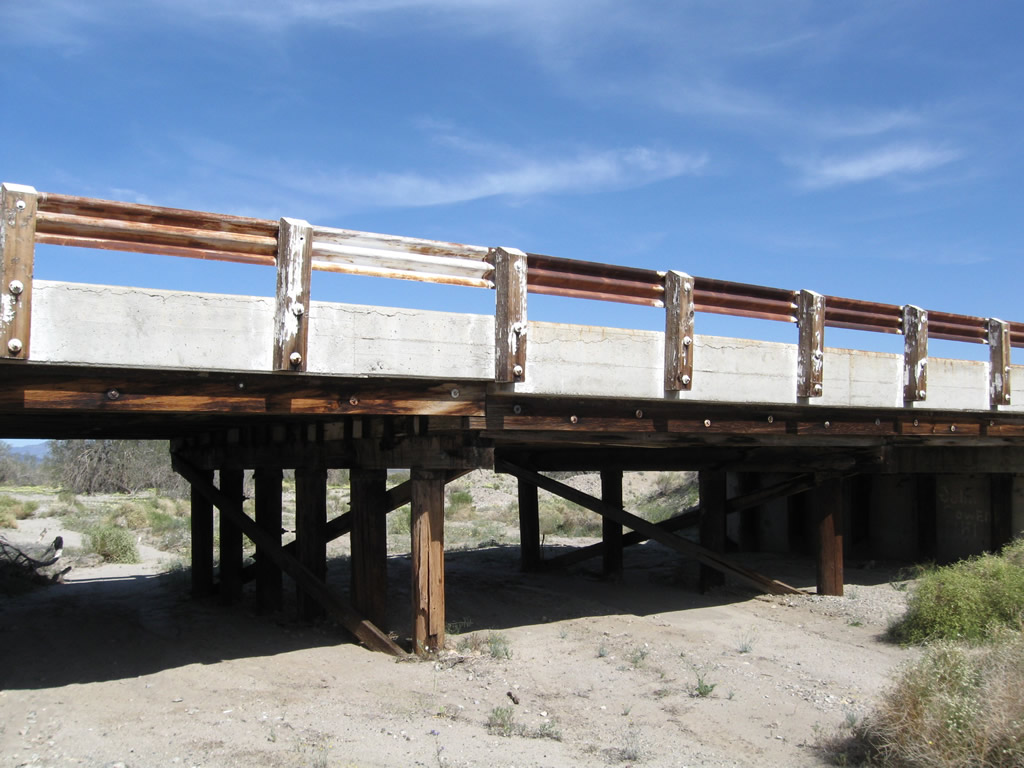
Another wash passes under U.S. 60-70. White wooden railing again serves to protect motorists from leaving the bridge. Note the cluster of trees around the wash, since this is the best chance for water. Photos taken 03/14/09. |
|
|
|
|
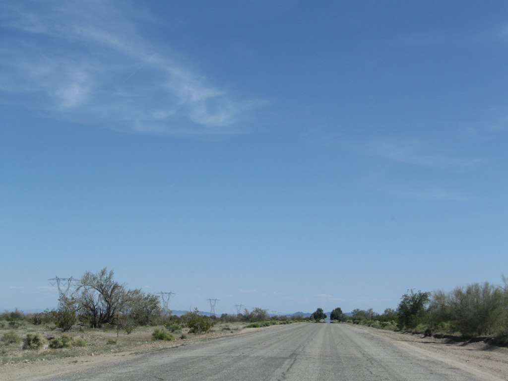
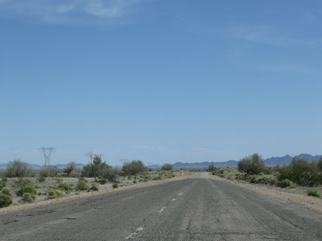
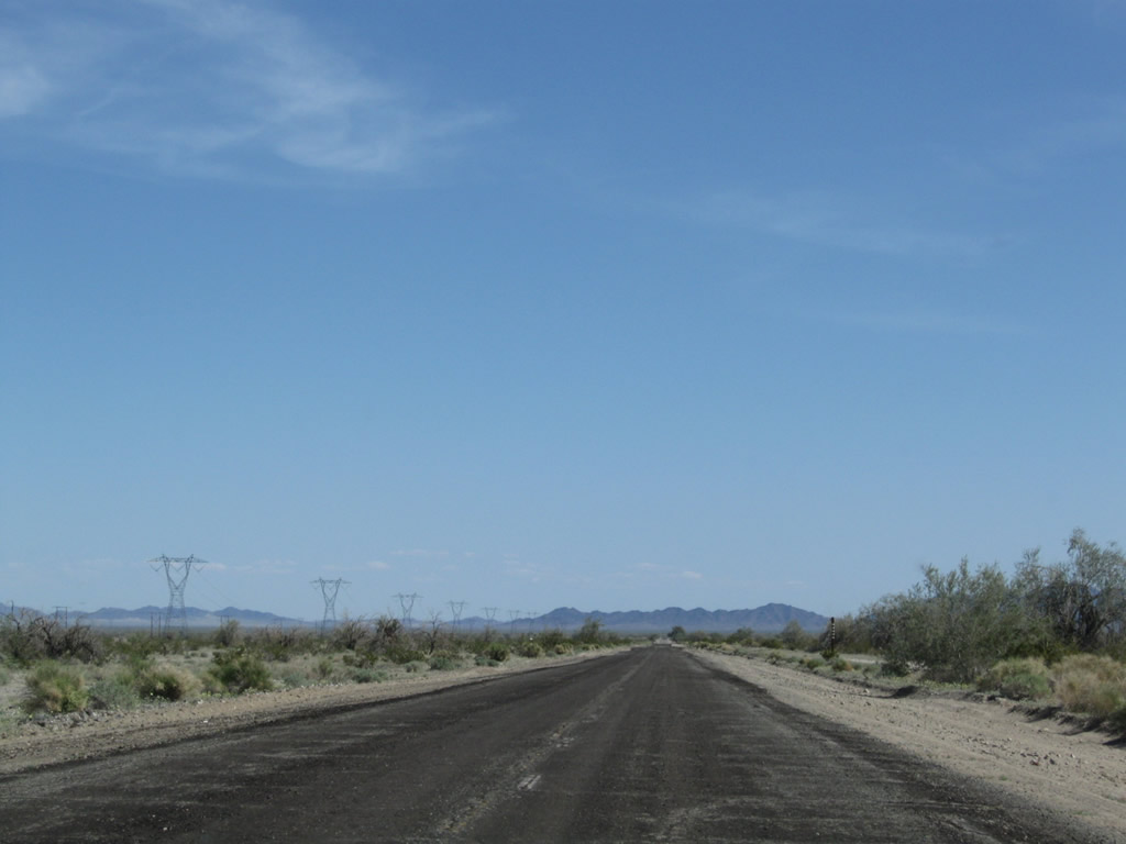
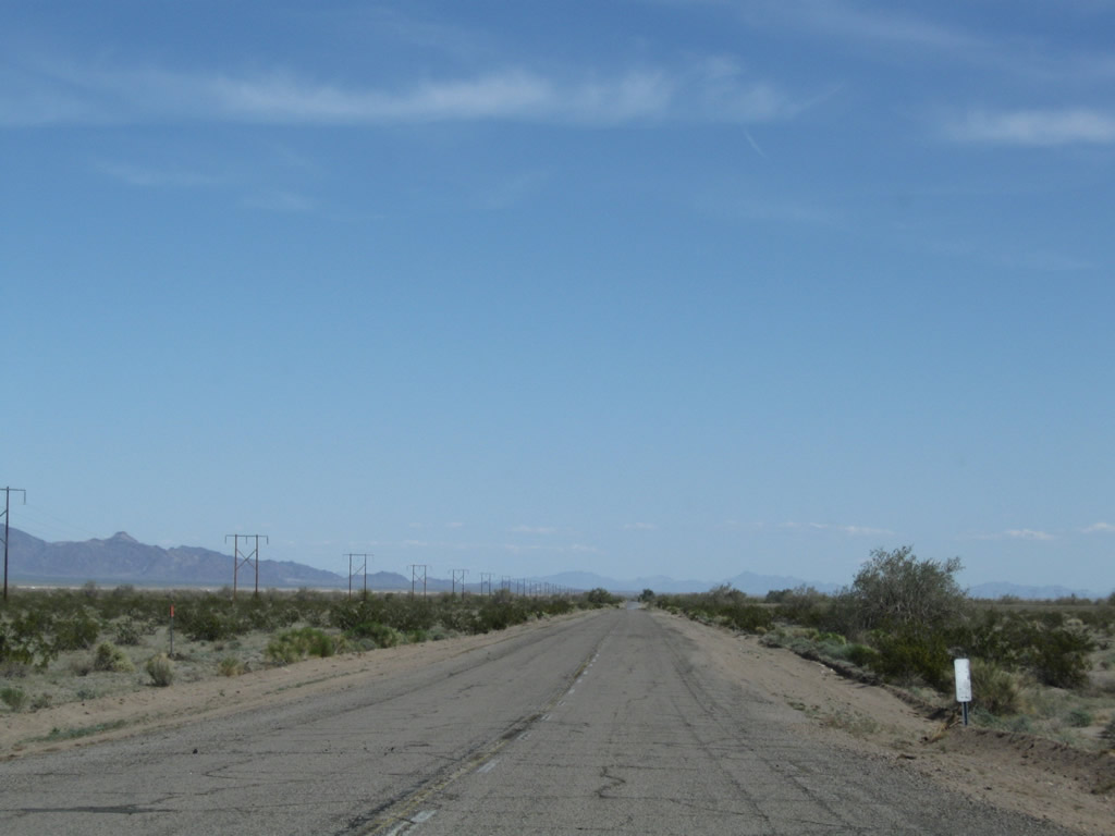
Chuckwalla Road continues east straight as an arrow through the Chuckwalla Valley. Photos taken 03/14/09. |
|
|
Another wash, another Historic U.S. 60-70 (Chuckwalla Road) bridge with white wooden railing. Photos taken 03/14/09. |
|
This bridge features white painted metal guardrail rather than wooden bridge railing. Photo taken 03/14/09. |
|
|
|
Eastbound Historic U.S. 60-70 (Chuckwalla Road) approaches a couple of tall trees and another wash. The guardrail on this bridge culvert was recently replaced. A date stamp indicates this bridge was installed in 1952. Photos taken 03/14/09. |
|
|
|
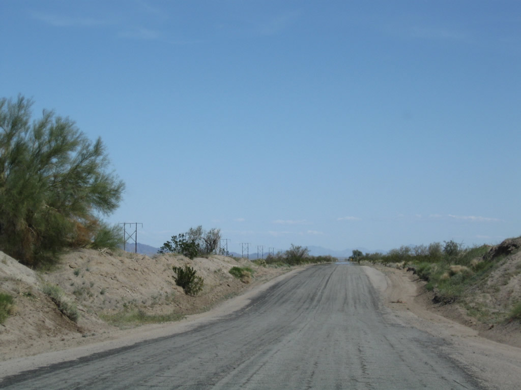
The road continues east in a straight line. Photos taken 03/14/09. |
|
|
|
The road gains a bit of elevation to make this bridge crossing. Unlike some of the earlier washes, there aren't as many trees at this wash. Photos taken 03/14/09. |
|
|
|
|
A "C" block is a concrete right of way monument (marker) that was used by the California Division of Highways to mark its rights of way along many old highways. These markers are found all along Chuckwalla Road; in most cases, they were not removed when the old road was decommissioned from the state highway system. According to Joel Windmiller (the California Highwayman), "C" Blocks were placed along state routes from 1914 to 1934. The monuments are distinctive for the capital embossed "C" found on top of the monument. "C" Blocks are projected about six inches above the surface of the ground but sometimes were placed higher. The "C" Block is made of concrete six inches square and 3.5 feet feet tall, including the portion below ground (the majority of the monument is below ground). The edges of the upper portions are beveled to present a neat appearance, and a letter "C" is embossed on one side for identification. There is a copper plug on the top center that marks the exact point of the angle. These monuments were made necessary due to imprecise surveying records that were compiled when the highway system was laid out and real estate was not as valuable as it is today. The old surveying techniques gave boundary lines little meaning; they often relied on landmarks such as buildings, trees, rocks, mountains, and the roads themselves. However, many of these features were not permanent and often disappeared or changed position. To ensure accuracy, the California Highway Commission carefully surveyed and placed these markers along the side of the roadway at each and every angle or curve point and at fixed intervals on straight sections starting in 1914. Photos taken 03/14/09. |
|
|
|
|
|
Historic U.S. 60-70 east approaches another bridge over a wash. Photos taken 03/14/09. |
|
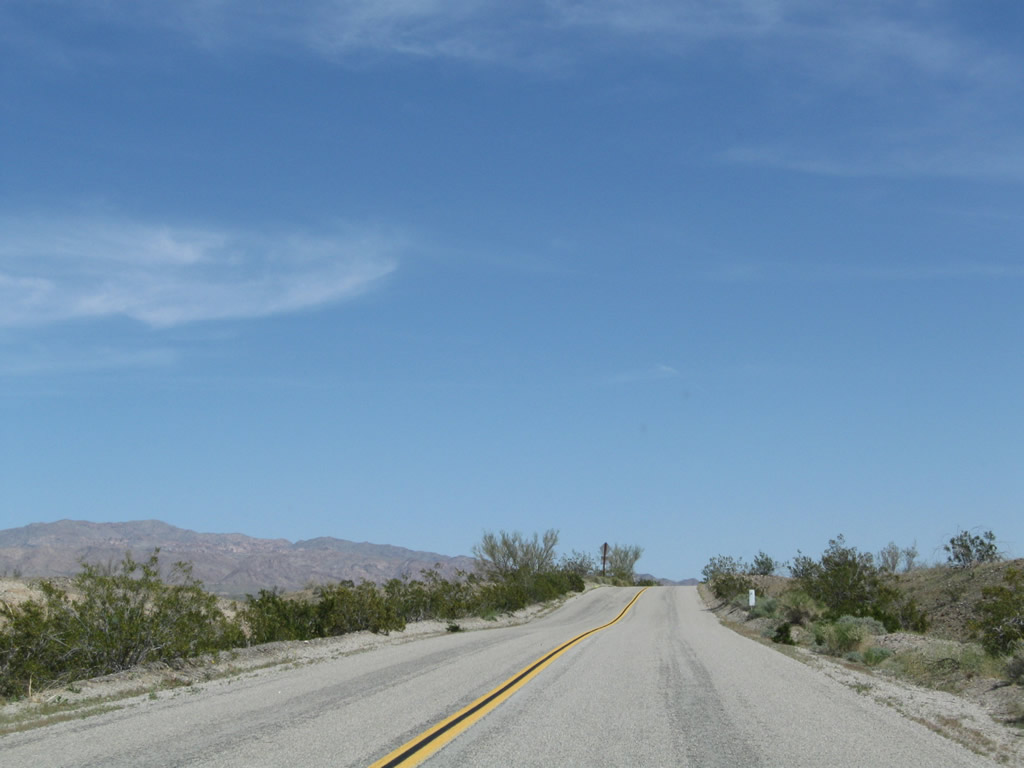
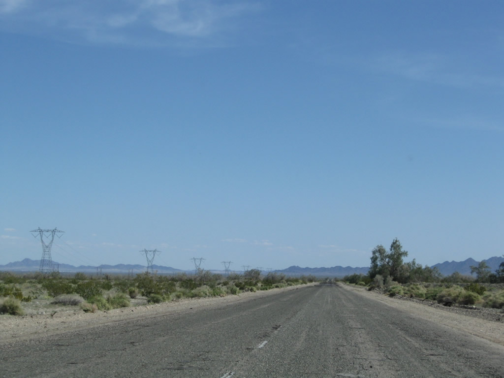
The pavement of empty Historic U.S. 60-70 travels southeast through the Chuckwalla Valley. Almost all through traffic uses Interstate 10 through the Chuckwalla Valley; the freeway is a few miles north of here. Photo taken 03/14/09. |
|
|
|
Another bridge carries Chuckwalla Road over a wash. Photos taken 03/14/09. |
|
For some bridges along former U.S. 60-70 in the Chuckwalla Valley, old porcelain enamel signs help support the bridge abutments. These signs are impossible to remove as they are firmly embedded into the bridge, but it is neat to see the signs in their recycled use. Photo taken 03/14/09. |
|
|
|
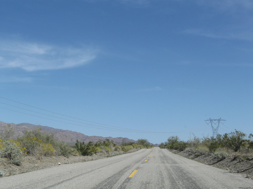
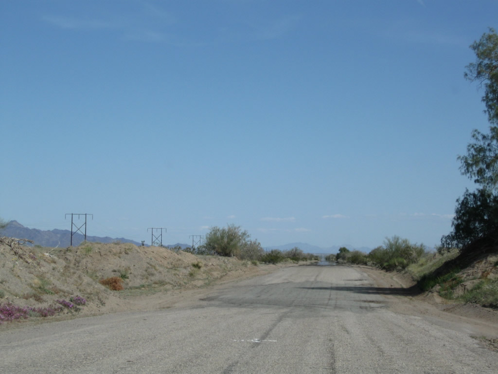
Historic U.S. 60-70 (Chuckwalla Road) turns east toward Hopkins Well and again passes under the 500kV Southern California Edison power lines. Photos taken 03/14/09. |
|
|
|
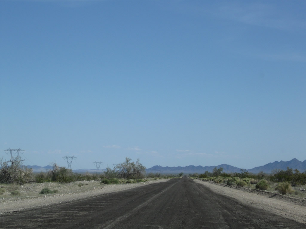
Historic U.S. 60-70 continues to pass through the flat valley with occasional dips and rises for washes. Note that some dips could be flooded during rain events. By the end of this series of photos, the former route has reached the interchange with Interstate 10. The old alignment at this point basically goes under the freeway at this point, and an extant section of old U.S. 60-70 does not reemerge until east of Wiley's Well. Photos taken 03/14/09. |
|
|
|
|
|
|
|
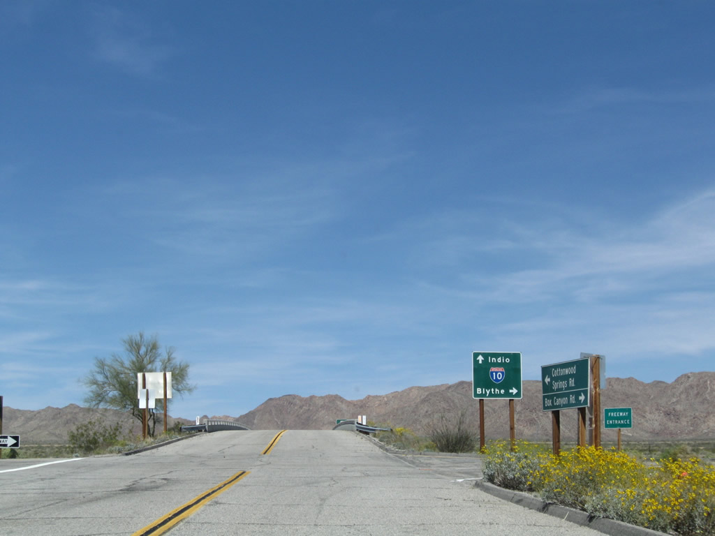
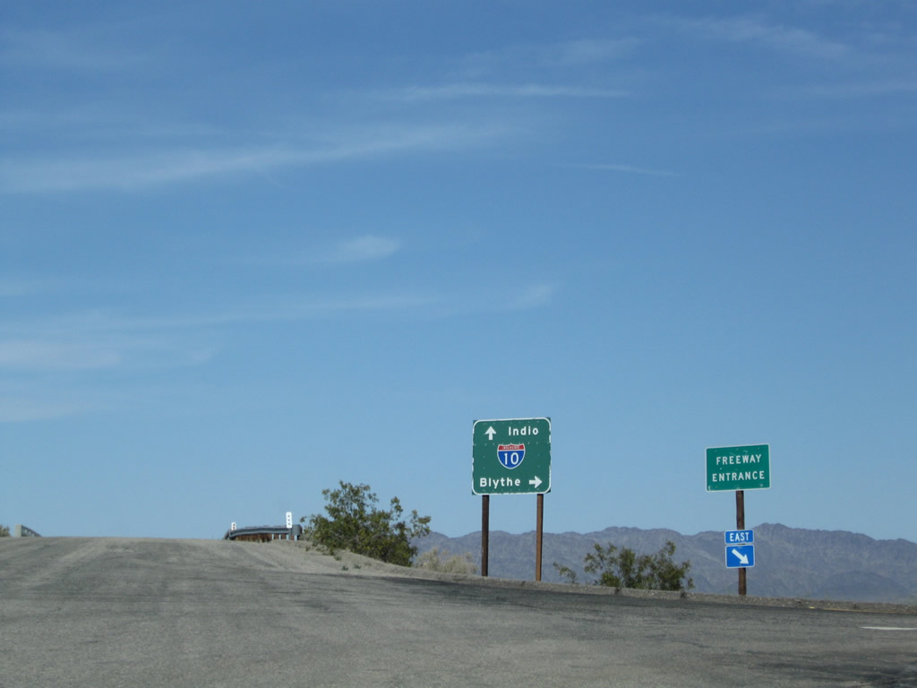
Eastbound Historic U.S. 60-70 (Chuckwalla Road) meets Interstate 10 at the Ford Dry Lake interchange. Turn right here to merge back on the freeway and proceed east to Blythe. Photo taken 03/14/09. |
Page Updated January 21, 2011.