| California 241 - Eastern Transportation Corridor south |
|---|
|
|
|
This series of photos follows the transition between California 91 (Riverside Freeway) east and California 241 (Eastern Transportation Corridor) south. A similar two-lane ramp links California 91 west with California 241 south. Photos taken 05/02/10. |
|
The first California 241 south reassurance shield is posted shortly after the ramps from California 91 east and west merge together. Photo taken 05/02/10. |
|
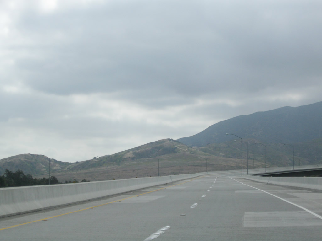
The initial segment of California 241 travels uphill at a grade of about six percent. Most of this area is undeveloped, and the freeway has no exits until reaching the top of the hill at Windy Ridge Toll Plaza. Photo taken 05/02/10. |
|
All trucks and slow moving vehicles should use the right lane for the ascent to Windy Ridge. Photo taken 05/02/10. |
|
The next exit is the Windy Ridge Toll Plaza (one mile). Photo taken 05/02/10. |
|
California 241 enters a Hazardous Fire Area, which includes the area around Windy Ridge. A wildfire originated from a car fire off California 241 on March 11, 2007, resulting in the burn of 2,036 acres.3 Signs like this one were posted in the aftermath of that blaze advising motorists that this toll road passes through a high-fire risk area. Photo taken 05/02/10. |
|
|
|
The toll road divides between FasTrak and cash lanes at the Windy Ridge Toll Plaza along California 241 north. Electronic transponders are situated over the FasTrak lanes to calculate the toll owed amount, while cash may be used at the attended toll plaza. The mainline divides, with cash paying customers merging right and FasTrak electronic toll collection customers merging left. The open lands surrounding the Windy Ridge Toll Plaza are owned by the Nature Conservancy and are thus preserved. Photos taken 05/02/10. |
|
Leaving the Windy Ridge Toll Plaza is a postmile marker for California 241. The mileage includes the unconstructed segment south of Oso Parkway that has been in dispute and now appears unlikely to be built (as of 2010). Photo taken 05/02/10. |
|
|
A set of Southern California Edison power lines cross over California 241. Two SCE towers pass overhead: The wider, shorter, Y-shaped tower carries conductor that transmits electricity at 500kV. The taller, narrower line carries electricity at 230kV and is a shorter-range transmission. Photos taken 09/28/08 and 05/02/10. |
|
|
|
|
|
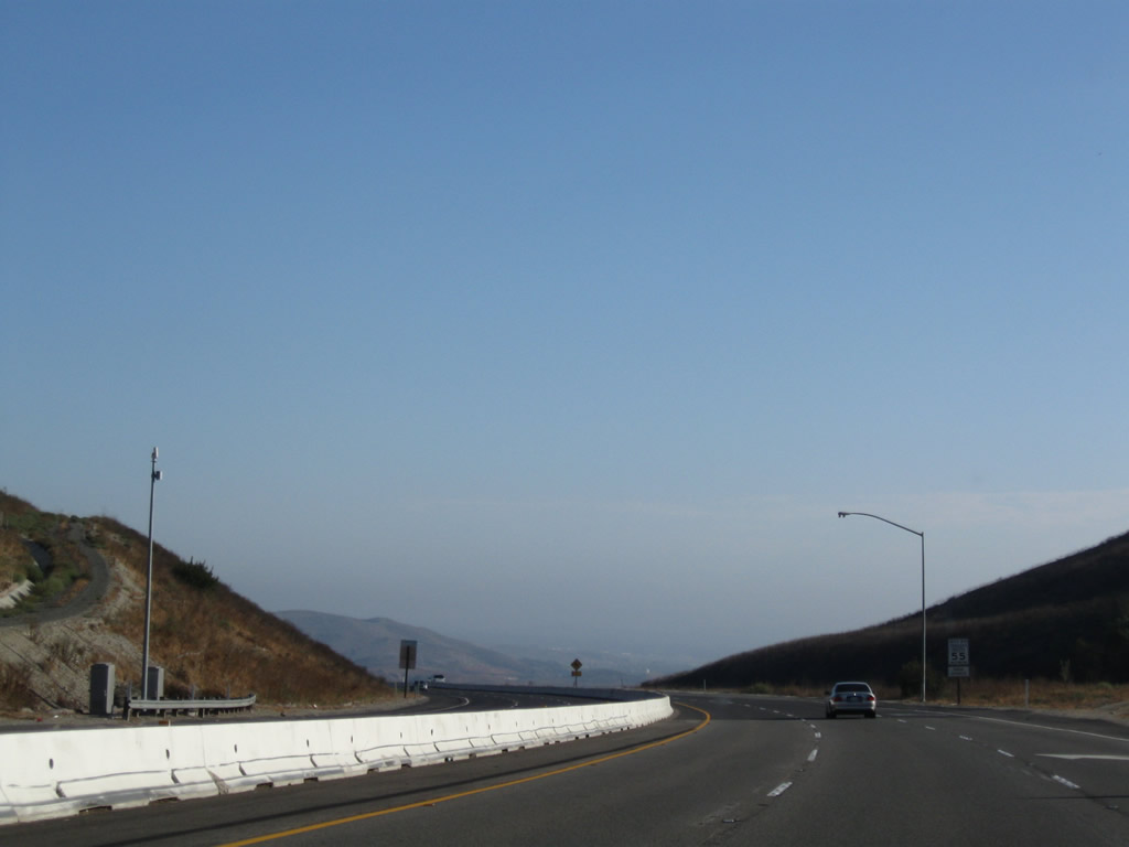
This series of pictures follow California 241 on the descent from Windy Ridge. Photos taken 05/02/10. |
|
The next two exits along California 241 (Eastern Transportation Corridor) south are Exit 33, Santiago Canyon Road (Orange County S-18) and Chapman Avenue and Exit 32, California 261 south to Tustin and Irvine. Photo taken 05/02/10. |
|
Southbound California 241 (Eastern Transportation Corridor) approaches Exit 33, Santiago Canyon Road (Orange County S-18) to Chapman Avenue west to Orange. Orange County S-18 travels southeast from here along Santiago Canyon Road to serve Silverado, Modjeska, and Portola Hills. From the intersection with Orange County S-19 (Live Oak Canyon Road), Orange County S-18 curves southwest as El Toro Road to serve Mission Viejo, Lake Forest, Laguna Woods, Laguna Hills, and Aliso Viejo, ending at California 133 just south of the California 73 interchange. Photo taken 05/02/10. |
|
California 241 (Eastern Transportation Corridor) passes over Santiago Creek, which flows north and then west out of Irvine Lake (Santiago Reservoir). Photo taken 05/02/10. |
|
A dynamic message sign is posted along California 241 south before Exit 33. Photo taken 05/02/10. |
|
Use Chapman Avenue west to the city of Orange. Photo taken 05/02/10. |
|
This mileage sign along California 241 (Eastern Transportation Corridor) south provides the distance to the next three exits along southbound: Exit 33, Santiago Canyon Road (Orange County S-18) and Chapman Avenue; Exit 32, California 261 south to Tustin and Irvine; and Exit 27, California 133 south to Interstate 5 and Laguna Beach. Photo taken 05/02/10. |
|
Use Exit 33 to Santiago Canyon College. Photo taken 05/02/10. |
|
Southbound California 241 (Eastern Transportation Corridor) reaches Exit 33, Santiago Canyon Road (Orange County S-18) and Chapman Avenue. The right two lanes will connect to Exit 32, California 261 south to Tustin and Irvine. Photo taken 05/02/10. |
|
California 241 immediately enters the footprint of the interchange between California 241 and California 261. Photo taken 05/02/10. |
|
Southbound California 241 (Eastern Transportation Corridor) reaches Exit 32, California 261 south to Tustin and Irvine. To Interstate 5 south to San Diego, use Exit 27, California 133 south. Photo taken 05/02/10. |
|
California 241 (Eastern Transportation Corridor) passes under Orange County S-18 (Santiago Canyon Road). Photo taken 09/28/08. |
|
The freeway curves southeast after the California 261 split. The next exit (California 133 south) is five miles ahead. Photo taken 09/28/08. |
|
Now carrying three southbound lanes, a reassurance shield for California 241 south is posted after the on-ramp from Santiago Canyon Road. Photo taken 09/28/08. |
|
|
|
This suite of pictures follows California 241 south between Santiago Canyon Road (Exit 33)/California 261 (Exit 32) and California 133 (Exit 27). Most of this land is currently undeveloped (as of the date of the pictures). Photos taken 09/28/08. |
|
The next three exits along California 241 south (as shown on this interchange sequence sign) are Exit 27, California 133 south; Exit 26, Tomato Springs Toll Plaza; and Exit 25, Portola Parkway to Irvine. Photo taken 09/28/08. |
|
A California 241 south reassurance shield is posted shortly thereafter. Photo taken 09/28/08. |
|
This mileage sign along California 241 south provides the distance to Lake Forest (five miles), Mission Viejo (eight miles), and Rancho Santa Margarita (nine miles). Photo taken 09/28/08. |
|
A third mileage sign again provides the distance to the next three exits along California 241 south: Exit 27, California 133 south; Exit 26, Tomato Springs Toll Plaza; and Exit 25, Portola Parkway to Irvine. Photo taken 09/28/08. |
|
From California 241 south to Interstate 5 and Interstate 405, use Exit 27, California 133 south. The three freeways converge in Irvine near the El Toro Y Interchange. Photo taken 09/28/08. |
|
The right two lanes of California 241 south will connect to Exit 27, California 133 south to Interstate 5, Interstate 405, Irvine, and Laguna Beach. The left two lanes continue south on California 241 to Rancho Santa Margarita. (If California 241 is ever extended south of Rancho Santa Margarita, the control city can change. The signs are supposed to read "San Diego," but with the defeat of the extension of the 241 Extension to Interstate 5, that seems increasingly unlikely.) Photo taken 09/28/08. |
|
California 241 and California 133 south split at this point. Toll plazas for both California 241 and 133 main line traffic are located after the split. Photo taken 09/28/08. |
| California 241 (Foothill Transportation Corridor) south |
|
California 241 shifts from the Eastern Transportation Corridor to the Foothill Transportation Corridor upon splitting from California 133. Originally, the entire Eastern Transportation Corridor from Interstate 5 to California 91 was to be unified under a single route number (California 231), but that was eliminated in favor of the current route numbering for the toll roads. Photo taken 09/28/08. |
|
The toll road again curves southeast as we pass through the California 133-241 interchange. Photo taken 09/28/08. |
|
|
|
|
|
| Southbound California 241 approaches the Tomato Springs Toll Plaza between California 133 and Portola Parkway (to Irvine). The plaza is located near Milepost 26. Photos taken 09/28/08. |
|
The next exit along California 241 south is Exit 25, Portola Parkway to Irvine. Photo taken 09/28/08. |
|
This mileage sign (which has been modified a few times since it was first placed along the toll road) provides the distance to the next two exits along California 241 south: Exit 25, Portola Parkway to Irvine and Exit 23, Alton Parkway. Photo taken 09/28/08. |
|
Southbound California 241 (Foothill Transportation Corridor) reaches Exit 25, Portola Parkway to Irvine. The next exit along southbound is Exit 23, Alton Parkway. Photo taken 09/28/08. |
|
California 241 leaves the Hazardous Fire Area through which the toll road passes basically from California 91 all the way to past California 133. Photo taken 09/28/08. |
|
A California 241 south reassurance shield is posted after the on-ramp from Portola Parkway. Photo taken 09/28/08. |
|
This mileage sign provides the distance to the next three exits along California 241 south: Exit 23, Alton Parkway; Exit 22B, Lake Forest Drive; and Exit 22A, Portola Parkway. Photo taken 09/28/08. |
|
California 241 enters the city of Lake Forest, which was incorporated on December 20, 1991, and had a population of 58,707 as of the 2000 Census. Photo taken 09/28/08. |
|
Southbound California 241 reaches Exit 23, Alton Parkway in Lake Forest. Photo taken 09/28/08. |
|
The Alton Parkway interchange is a single-point urban interchange (SPUI). Photo taken 09/28/08. |
|
This mileage sign provides the distance to the next three exits along California 241 south: Exit 22B, Lake Forest Drive; Exit 22A, Portola Parkway; and Exit 20, Los Alisos Boulevard. Photo taken 09/28/08. |
|
A California 241 south reassurance shield is posted after the on-ramp from Alton Parkway. Photo taken 09/28/08. |
|
Southbound California 241 meets Exit 22B, Lake Forest Drive. The next exit is Exit 22A, Portola Parkway Photo taken 09/28/08. |
|
Use Exit 22A, Portola Parkway to Whiting Ranch Park. Photo taken 09/28/08. |
|
Southbound California 241 (Foothill Transportation Corridor) south meets Exit 22A, Portola Parkway. The next exit along California 241 south is Exit 20, Los Alisos Boulevard. Photo taken 09/28/08. |
|
Provisions were made during toll road construction to allow for a third lane in each direction as evidenced by this bridge over Portola Parkway after the off-ramp to Exit 22A. Photo taken 09/28/08. |
|
California 241 continues south on an elevated grade as traffic merges onto southbound from Portola Parkway. Photo taken 09/28/08. |
|
A Southern California Edison power substation is located on the hillside near the toll road. Photo taken 09/28/08. |
|
This California 241 south reassurance shield assembly is posted after the on-ramp from Portola Parkway. Photo taken 09/28/08. |
|
California 241 crosses over Aliso Creek via this bridge. It was not widened to accommodate an additional lane, so California 241 remains two lanes in each direction. Photo taken 09/28/08. |
|
This mileage sign provides the distance to the next three exits along California 241 south: Exit 20, Los Alisos Boulevard; Exit 19, Santa Margarita Parkway; and Exit 18, Antonio Parkway. Photo taken 09/28/08. |
|
Each of these three exits (Exit 20, Los Alisos Boulevard; Exit 19, Santa Margarita Parkway; and Exit 18, Antonio Parkway) serve the city of Rancho Santa Margarita. Photo taken 09/28/08. |
|
California 241 crosses over El Toro Road (Orange County S-18) and Upper Oso Reservoir. The freeway curves toward the east. Photo taken 09/28/08. |
|
Southbound California 241 reaches Exit 20, Los Alisos Boulevard. The next exit will be Exit 19, Santa Margarita Parkway. Photo taken 09/28/08. |
|
Upon passing under the Los Alisos Boulevard bridge, California 241 enters the city of Rancho Santa Margarita. Incorporated on January 1, 2000, the city had a population was 47,214 as of the 2000 Census. Many of the neighborhoods were master planned within the city. Photo taken 09/28/08. |
|
Traffic from Los Alisos Boulevard merges onto California 241 south. Photo taken 09/28/08. |
|
A California 241 south reassurance shield is posted shortly thereafter. Photo taken 09/28/08. |
|
This mileage sign along California 241 south provides the distance to the final three exits: Exit 19, Santa Margarita Parkway; Exit 18, Antonio Parkway; and Exit 14, Oso Parkway. Photo taken 09/28/08. |
|
The right two lanes of California 241 south will connect to Exit 19, Santa Margarita Parkway. Photo taken 09/28/08. |
|
California 241 crosses over Trabuco Canyon on this bridge as the freeway briefly enters O'Neill Regional Park. The freeway curves southeast again. Photo taken 09/28/08. |
|
The bridge has provisions for a future third through lane for southbound. Photo taken 09/28/08. |
|
Use Exit 19 (Santa Margarita Parkway) to O'Neill Regional Park. Photo taken 09/28/08. |
|
Southbound California 241 (Foothill Transportation Corridor) reaches Exit 19, Santa Margarita Parkway. Photo taken 09/28/08. |
|
The next exit along California 241 south is Exit 18, Antonio Parkway. Between Exits 18 and 14, Antonio Parkway will parallel California 241. South of Oso Parkway (Exit 14), Antonio Parkway is the best route south to California 74 (Ortega Highway). Photo taken 09/28/08. |
|
The right two lanes of California 241 south become exit only for Exit 18, Antonio Parkway. The left two lanes continue south on California 241 to Oso Parkway. Photo taken 09/28/08. |
|
Southbound California 241 (Foothill Transportation Corridor) reaches Exit 18, Antonio Parkway in Rancho Santa Margarita. Only one exit remains: the southern terminus at Oso Parkway (Exit 14). Photo taken 09/28/08. |
|
California 241 passes over Tijeras Canyon. The on-ramp from Antonio Parkway merges onto the freeway ahead crossing this bridge. The toll road curves toward the southwest at this point. Photo taken 09/28/08. |
|
The final exit from California 241 south is Exit 14, Oso Parkway (two miles). This would be an interchange sequence sign, except the toll road remains unconstructed south of this interchange. Photo taken 09/28/08. |
|
California 241 approaches its southern terminus at Oso Parkway (one mile). Photo taken 09/28/08. |
|
The final California 241 reassurance shield is posted about a half-mile before the freeway culminates at Oso Parkway. Photo taken 09/28/08. |
|
A warning beacon flashes as California 241 approaches the end of the freeway and the off-ramp to Oso Parkway. Photo taken 09/28/08. |
|
All traffic must depart the toll road at Exit 14, Oso Parkway. California 241 meets its southern terminus at this point as well. Photo taken 09/28/08. |
|
A stub ramp promises an eventual extension of the toll road. It is not clear if or when the 241 extension would be built. Since the most controversial segment of the toll road is closer to Interstate 5 in San Diego County (near San Onofre and Trestles Beach), it is possible a shorter segment of California 241 (perhaps from here south to California 74 (Ortega Highway)) might be built. Photo taken 09/28/08. |
|
Use Oso Parkway west to Interstate 5 (which is about four miles west of here). Photo taken 09/28/08. |
|
At the top of the off-ramp to Exit 14, the left two lanes connect to Oso Parkway east to Coto de Caza, while the right two lanes connect to Oso Parkway west to Mission Viejo and Interstate 5. Use Oso Parkway west to Antonio Parkway south to Ladera Ranch and California 74. Photo taken 09/28/08. |
Page Updated November 17, 2010.