
California 158

The Sierra Nevada provide a stunning backdrop to California 158, which loops from U.S. 395 through a valley carved by Reversed Creek and Rush Creek. The creeks connect June Lake, Gull Lake, Silver Lake, and Grant Lake. Photo taken 07/25/09.
California 158 is the scenic June Lake Loop, connecting at both ends with U.S. 395 in the Eastern Sierra near Mammoth Lakes and Mono Lake.
| California 158 (June Lake Loop) north | |
|---|---|
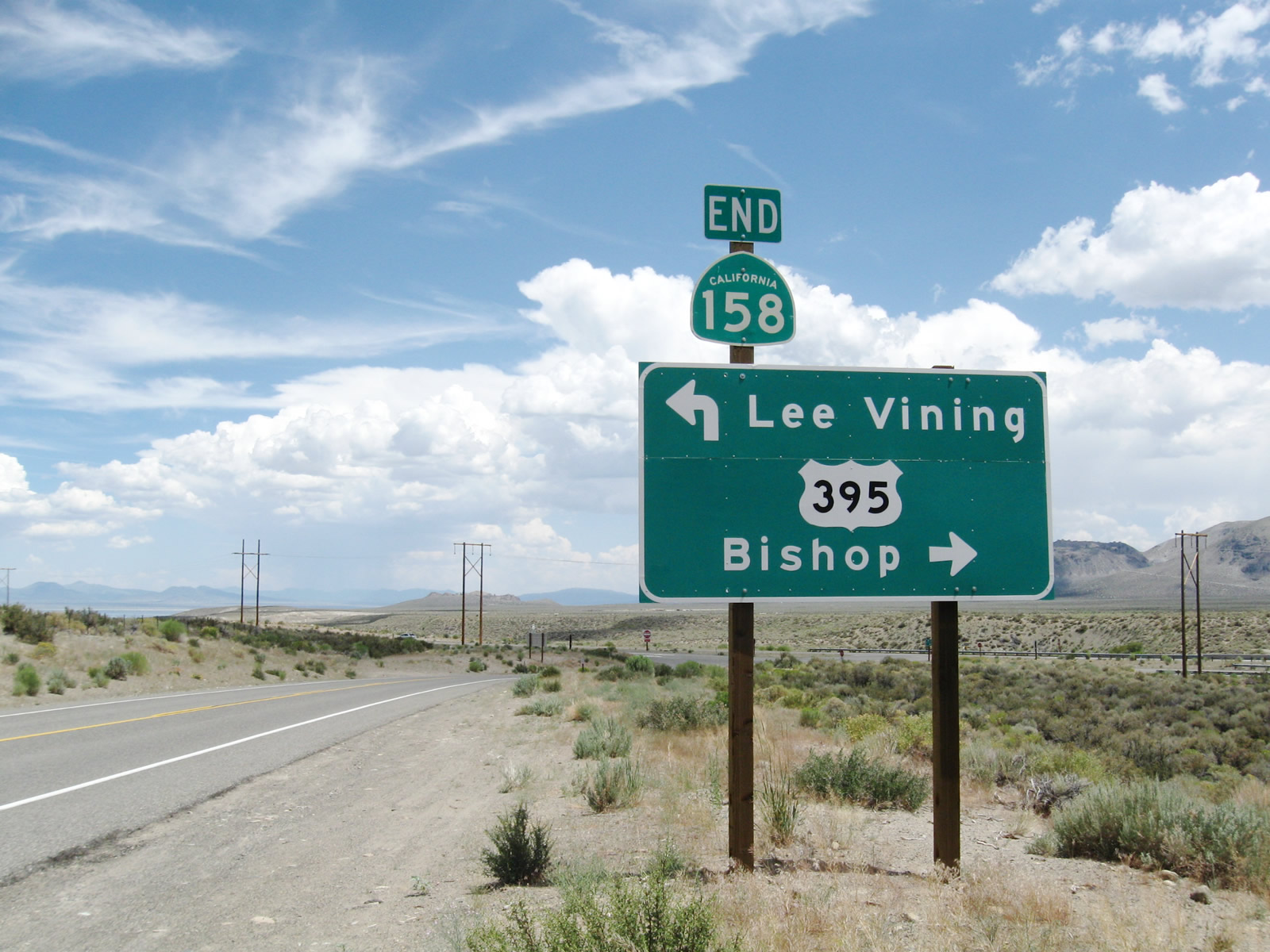 |
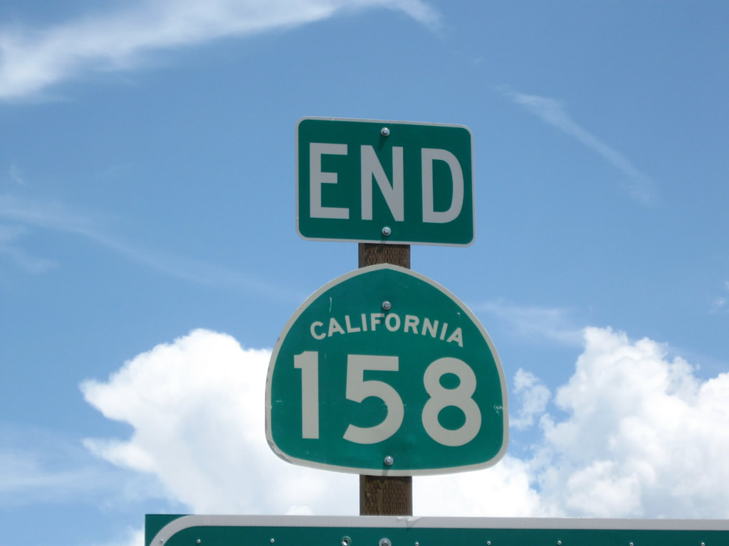
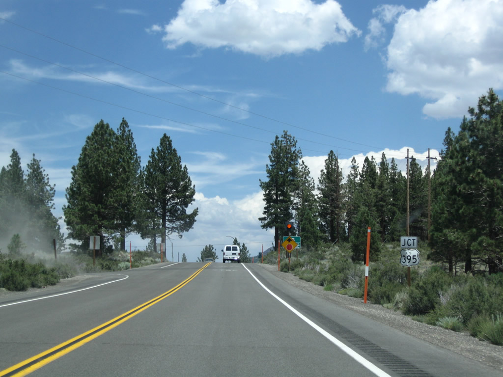
Northbound California 158 (June Lake Loop) approaches the northern intersection with U.S. 395 (and also California 120, which shares alignment with U.S. 395 from here north to Lee Vining). An end shield for California 158 is posted above the U.S. 395 junction. Turn left to follow U.S. 395 north to Lee Vining, Mono Lake, and Bridgeport. Turn right for U.S. 395 south to Mammoth Lakes, Bishop, and Los Angeles. To California 120 east to U.S. 6 in Benton, follow U.S. 395 south. To California 120 west, use U.S. 395 north. Photos taken 07/25/09. |
 |
|
 |
A nearby bridge visible from California 158 carries southbound U.S. 395 traffic over Rush Creek, a major tributary of Mono Lake that flows northeast from Silver Lake through Grant Lake into Pumice Valley en route to Mono Lake. This arch bridge was built in 2001 per the barely visible date stamp in the center of the bridge. Photo taken 07/25/09. |
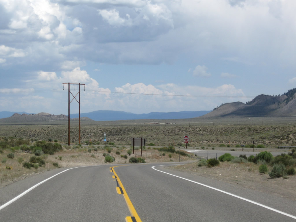 |
California 158 (June Lake Loop) makes a final turn before reaching U.S. 395. At the stop sign, all California 158 traffic must stop, while U.S. 395 traffic does not stop. Photo taken 07/25/09. |
| California 158 (June Lake Loop) south | |
 |
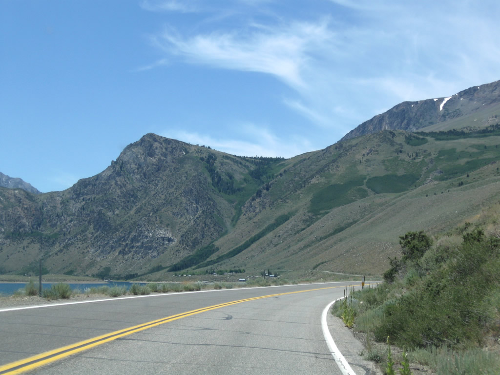
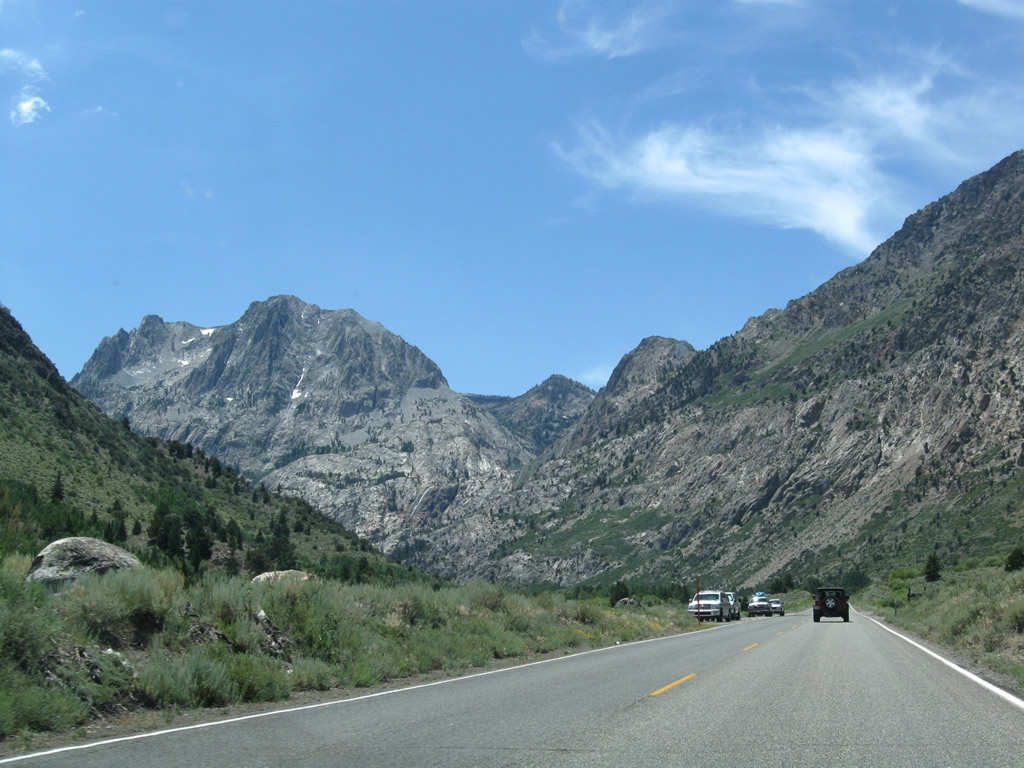
Leaving the U.S. 395 intersection at the northern end of the June Lake Loop, California 158 begins its journey south past several alpine lakes. As a loop, California 158 begins at this intersection, turns west and then south toward June Lake, then turns back east to rejoin U.S. 395 north of Mammoth Lakes. The northern U.S. 395 intersection is called the June Lake Loop North intersection by Caltrans; the cardinal direction of California 158 would be north-south. Photo taken 07/25/09. |
 |
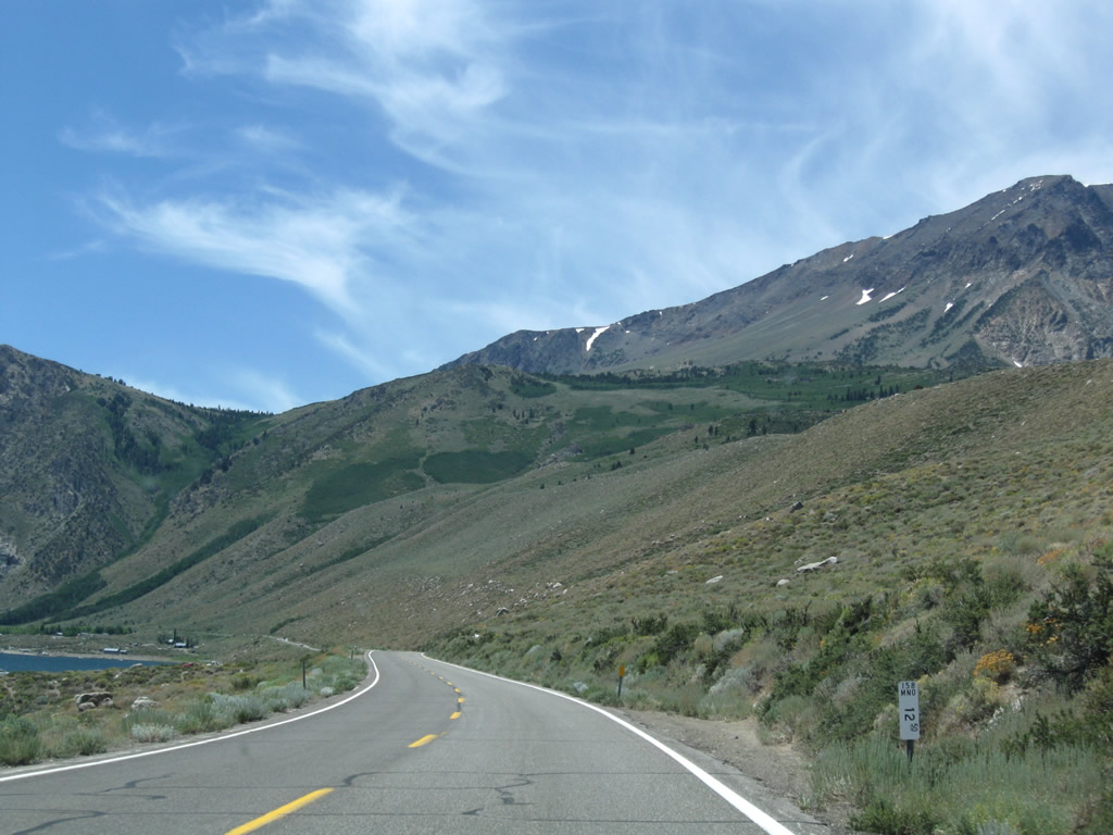
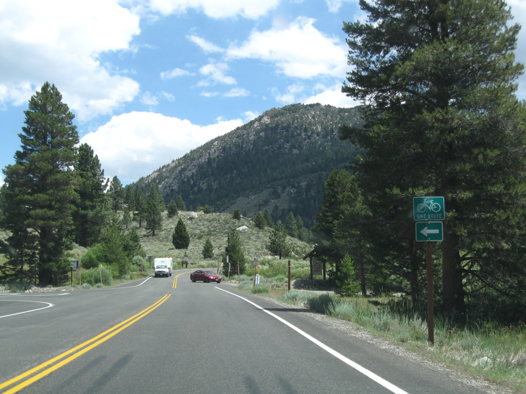
The first reassurance shield along California 158 south is posted along with a mileage sign that provides the distance to Grant Lake (four miles), Silver Lake (eight miles), and Gull and June Lakes (14 miles). The June Lake Loop is a popular spot for fishing, camping, hiking, and other outdoor recreational opportunities. Each lake offers varying recreation, include fishing, swimming, boating, picnicking, camping, and hiking. Photo taken 07/25/09. |
 |
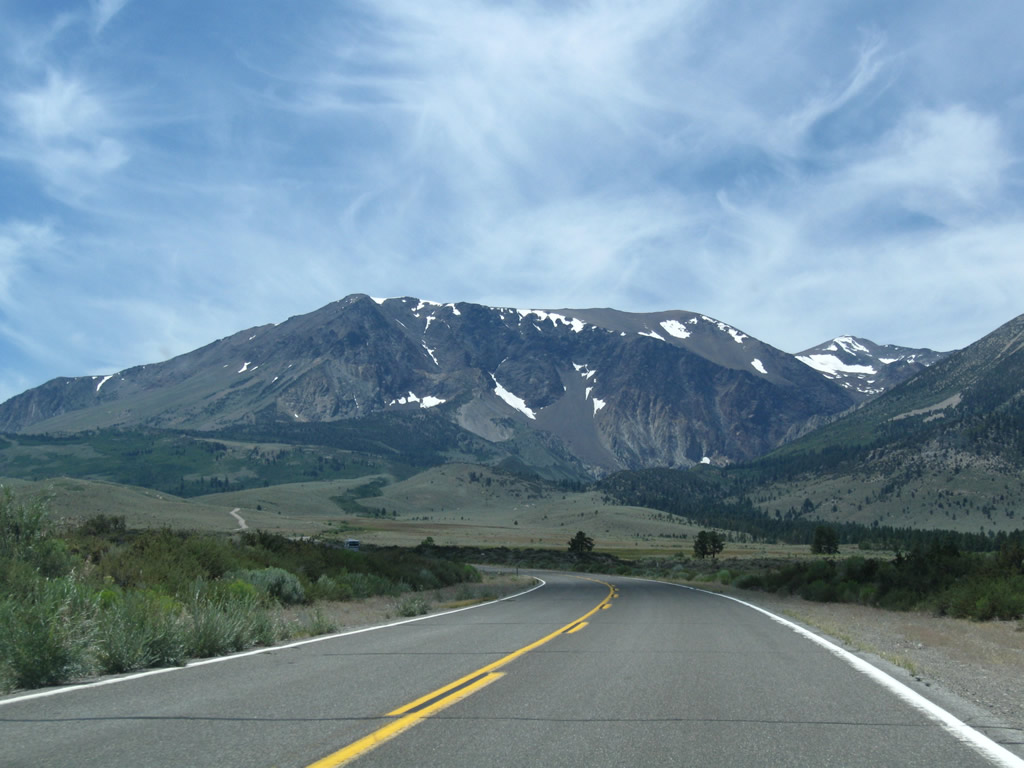
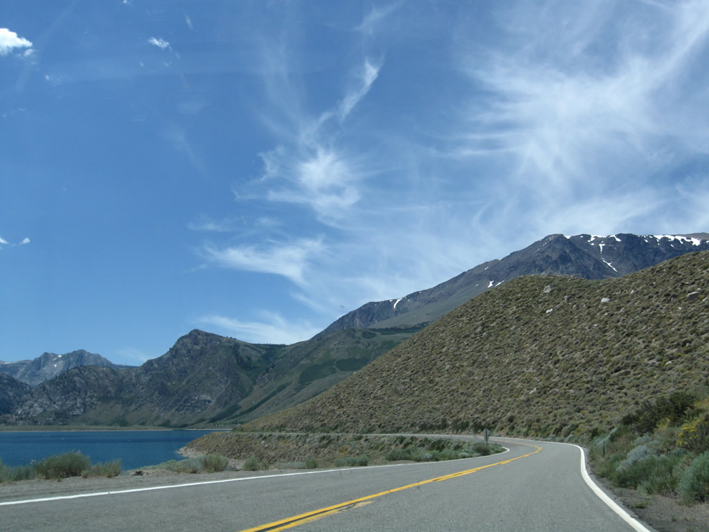
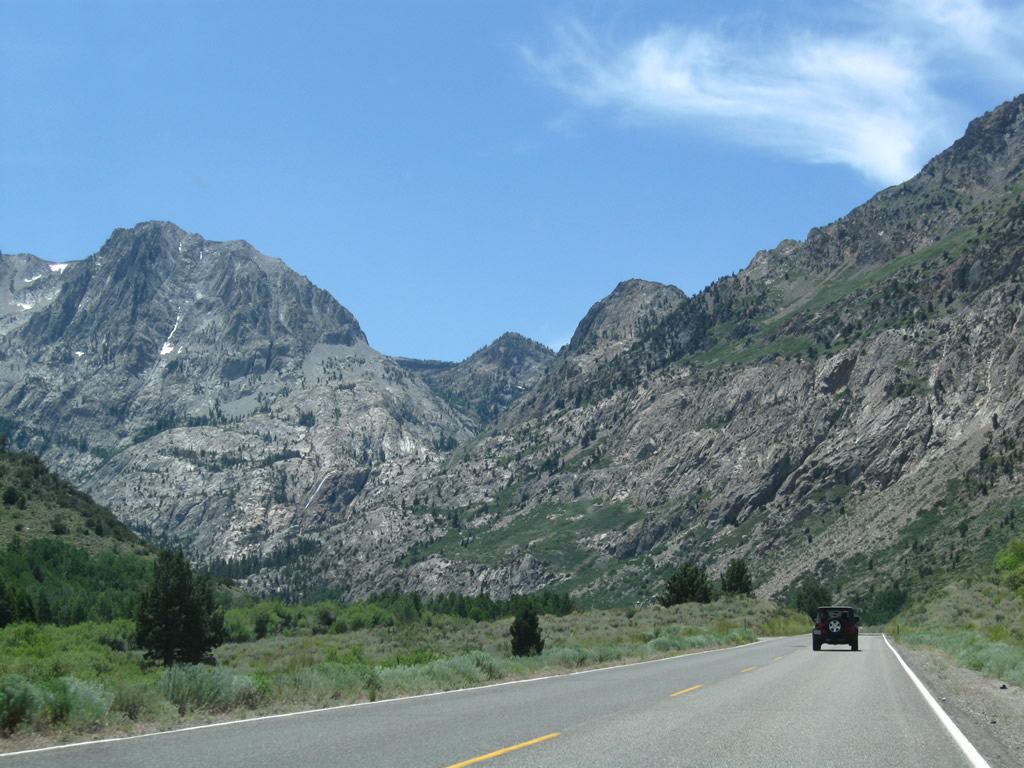
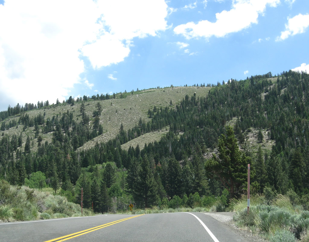
As the June Lake Loop proceeds south, the majestic peaks of the Sierra Nevada rise in the distance. Trucks are not advised on this route since there are several curves along the route, and California 158 is not really a good alternative for through traffic (use U.S. 395 instead). Photo taken 07/25/09. |
 |
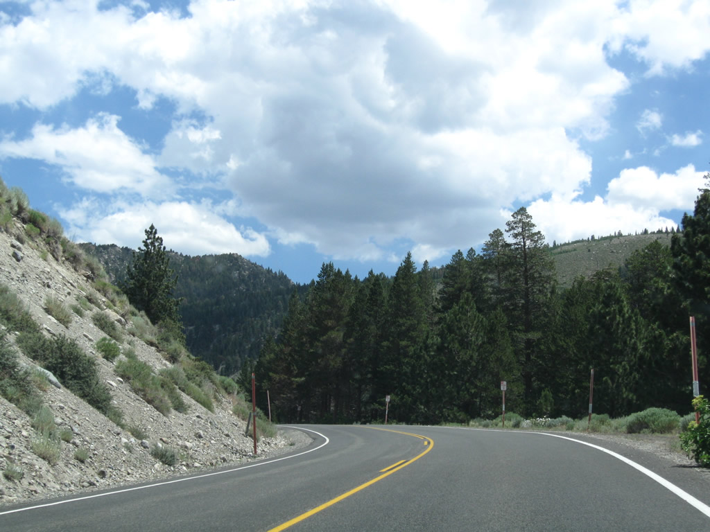
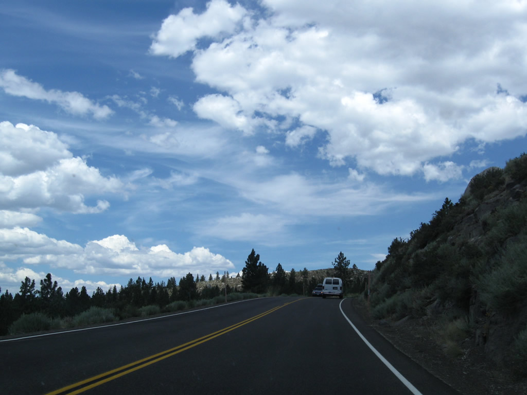
California 158 proceeds southwest toward Grant Lake. For the next five miles, snow slides can occur during winter months. Ahead is a gate that is used to close the highway during the winter. Photo taken 07/25/09. |
|
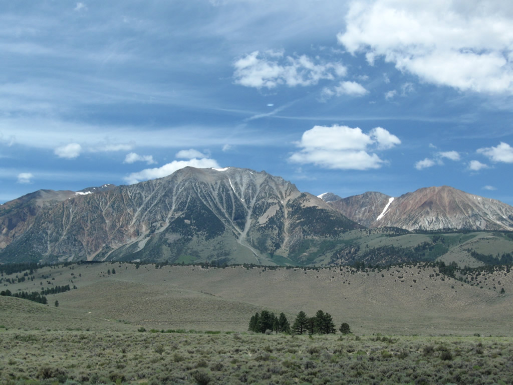
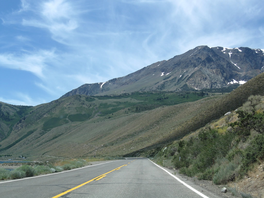
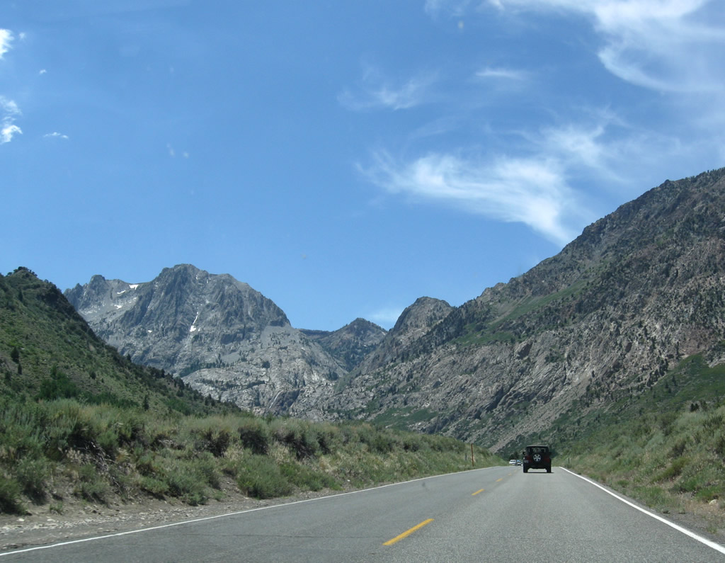
This view looks toward distant Sierra Nevada peaks (such as Mt. Lewis, Mt. Gibbs, and Mt. Dana) that dominate the view along California 158 to the northwest as the highway proceeds southwest. Both of these mountains, which are on the spine of the Sierra Nevada, exceed 12,000 feet. Photo taken 07/25/09. |
 |
 |
Straight ahead are Mt. Wood (el. 12,657), Parker Peak (12,850 feet), Koip Peak (12,962 feet), and Kuna Peak (el. 13,002 feet). Photos taken 07/25/09. |
 |
 |
|
 |
 |
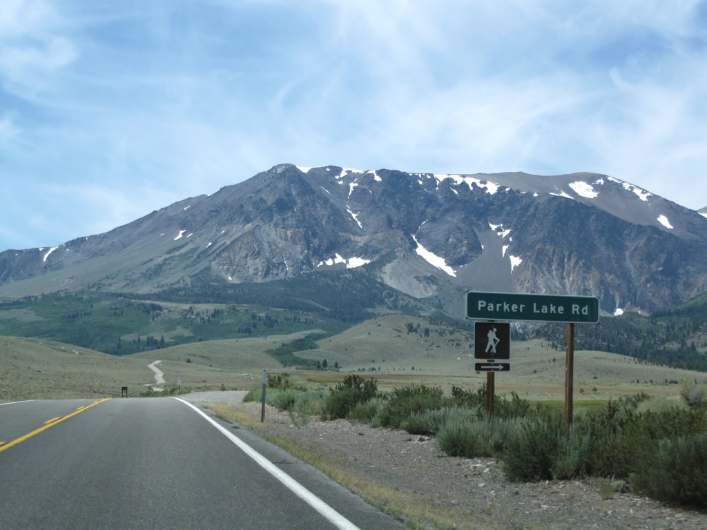
Southbound California 158 (June Lake Loop) approaches Parker Lake Road, which travels west to a trailhead for hiking to Parker Lake in Inyo National Forest. Photos taken 07/25/09. |
 |
 |
 |
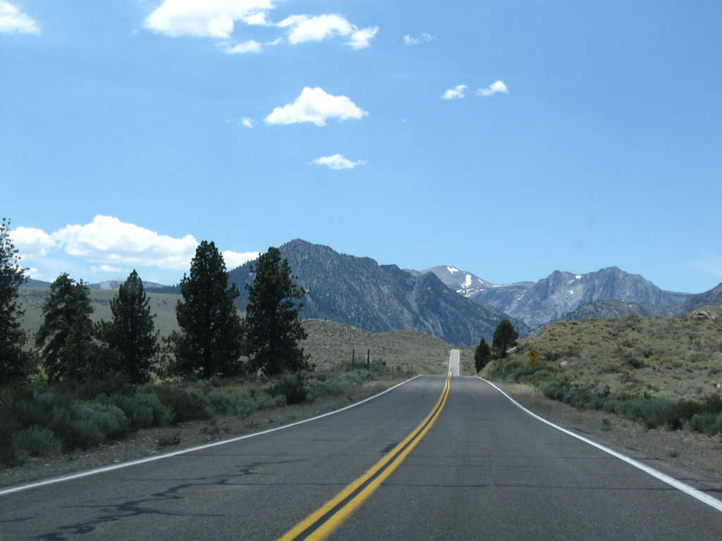
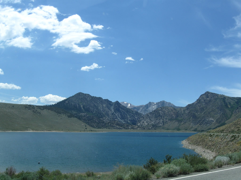
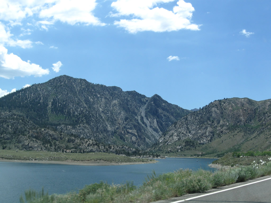
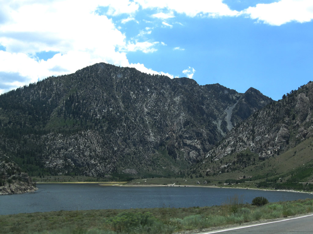
After a brief straight segment, California 158 (June Lake Loop) approaches Grant Lake. The largest of the lakes along June Lake Loop, Grant Lake is a reservoir in service to the Los Angeles Department of Water and Power. The lake levels for this reservoir will vary as a result of water demands in Southern California. A tunnel carries water under Mono Craters southeast to a point along the Owens River. Mt. Wood rises on the west side of the highway as California 158 generally travels southwest or south past Grant Lake. As a reservoir, very little development surrounds Grant Lake. Photos taken 07/25/09. |
 |
 |
 |
|
 |
 |
 |
|
 |
 |
 |
|
 |
 |
 |
 |
 |
Near the foot of Mt. Wood, southbound California 158 (June Lake Loop) approaches the turnoff for Grant Lake Road, which travels east to the Grant Lake Resort. Boating and fishing are popular activities on Grant Lake; further information and rentals are available at the resort. Photos taken 07/25/09. |
 |
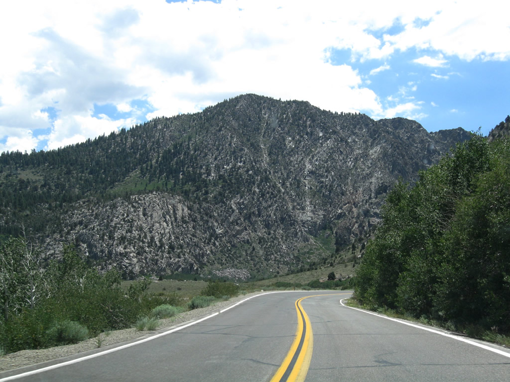
For the next five miles, the June Lake Loop again is susceptible for snow slides and rock slides; note the vertical rise to Mt. Wood on the right (west) side of the highway. Photo taken 07/25/09. | |
 |
 |
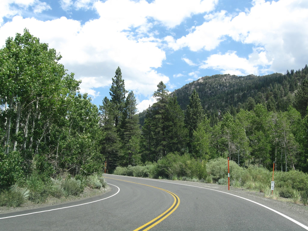
California 158 continues around the southwestern edge of Grant Lake, then enters a small aspen grove. Photos taken 07/25/09. |
 |
 |
|
 |
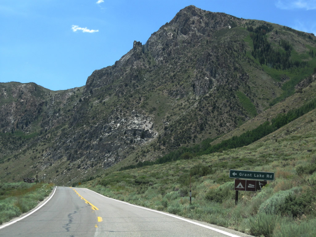
The next left turn from California 158 connects to the Grant Lake scenic overlook. Ahead, California 158 enters Rush Creek Canyon. Photo taken 07/25/09. | |
 |
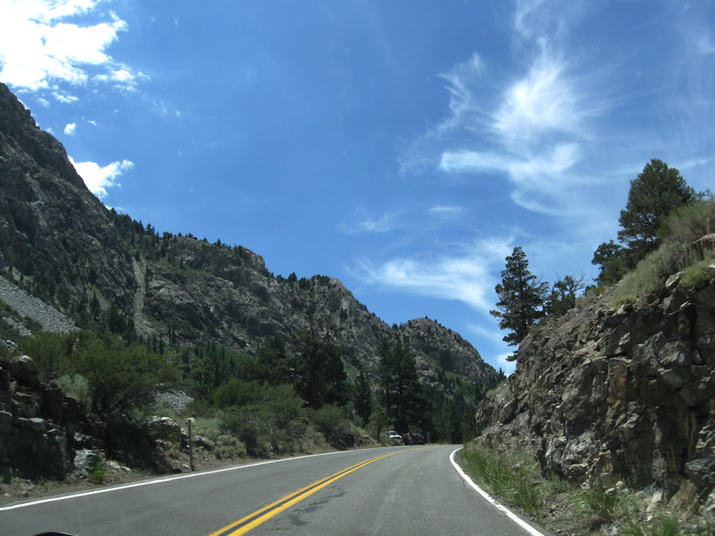 |
Reversed Peak (el. 9,481 feet) rises in the distance ahead. California 158 (June Lake Loop) threads between Reversed Peak and Mt. Wood (via Rush Creek Canyon) as the highway follows Rush Creek southwest toward Silver Lake. Photos taken 07/25/09. |
 |
 |
|
 |
 |
 |
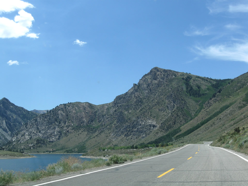
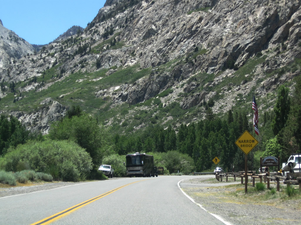
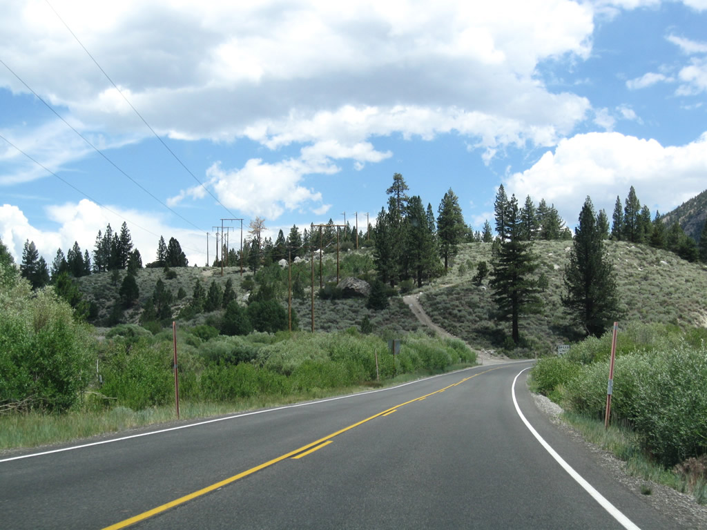
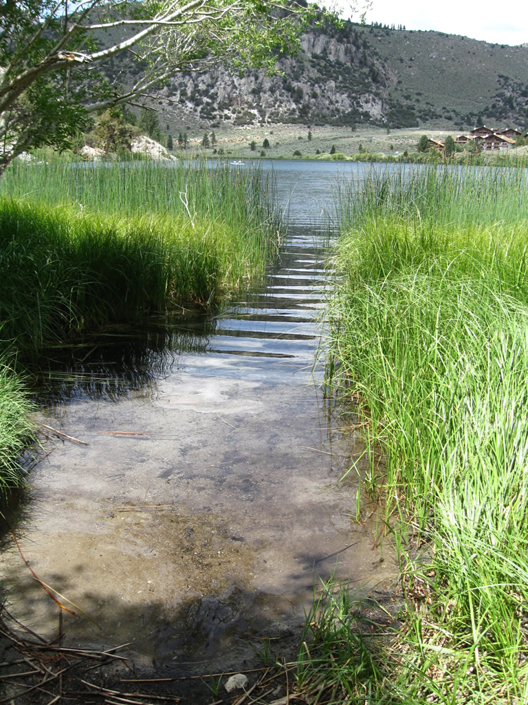
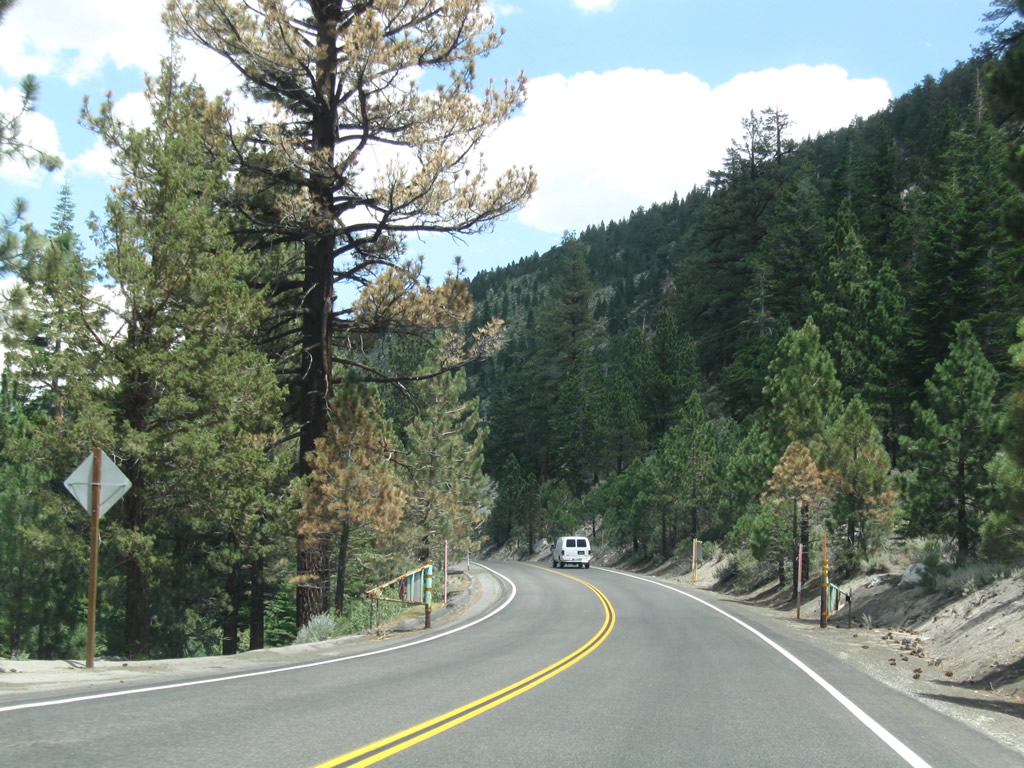
Upon leaving Rush Creek Canyon between the foothills of Mt. Wood and Reversed Peak, California 158 enters a broad valley that contains Silver Lake. Cascades (Alger Creek) carry water from the high country down toward Silver Lake, which is situated a bit off the highway. A California 158 south reassurance shield is posted prior to the turnoff for the Rush Creek trailhead. Silver Lake Resort lies ahead. Horsetail Falls carries Rush Creek down from Gem Lake and Agnew Lake to a point just south of Silver Lake. California 158 will turn from southwest to east at it approaches the base of Carson Peak (el. 10,909 feet). Photos taken 07/25/09. |
 |
 |
 |
|
 |
 |
 |
|
 |
 |
 |
|
 |
 |
 |
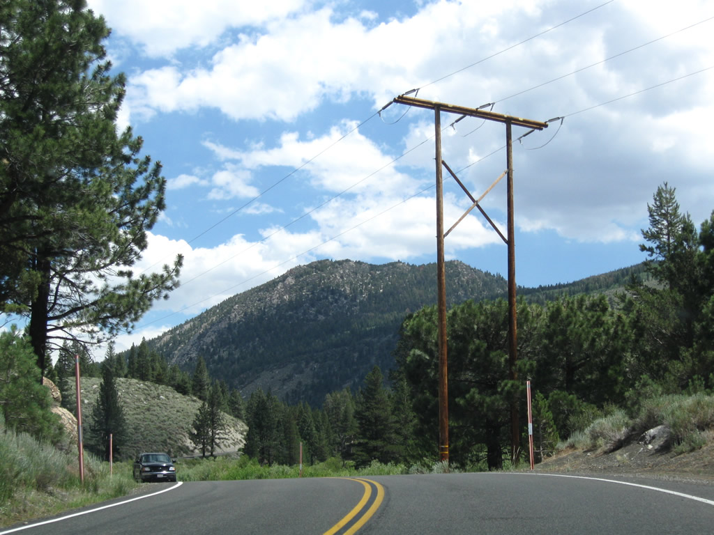
Leaving Silver Lake, California 158 curves to the east toward Gull Lake and June Lake to avoid Carson Peak and turn toward the community of June Lake. After crossing over Rush Creek, eastbound California 158 sees more development as the highway follows Reversed Creek. This creek drains June Lake and Gull Lake, connecting to Rush Creek south of Silver Lake. Power lines (likely 138kV) parallel the highway briefly through here; these lines bring hydroelectric power from the Rush Creek Hydroelectric Project (first operation in 1916) into the power grid. Photos taken 07/25/09. |
 |
 |
 |
|
 |
 |
 |
|
 |
Eastbound California 158 (June Lake Loop) approaches North Shore Road prior to reaching Gull Lake. June Mountain Ski Resort is located on the south side of California 158 near this intersection. North Shore Road bypasses the community of June Lake by following the north shore of both Gull Lake and June Lake, rejoining California 158 near Oh! Ridge. Photo taken 07/25/09. | ||
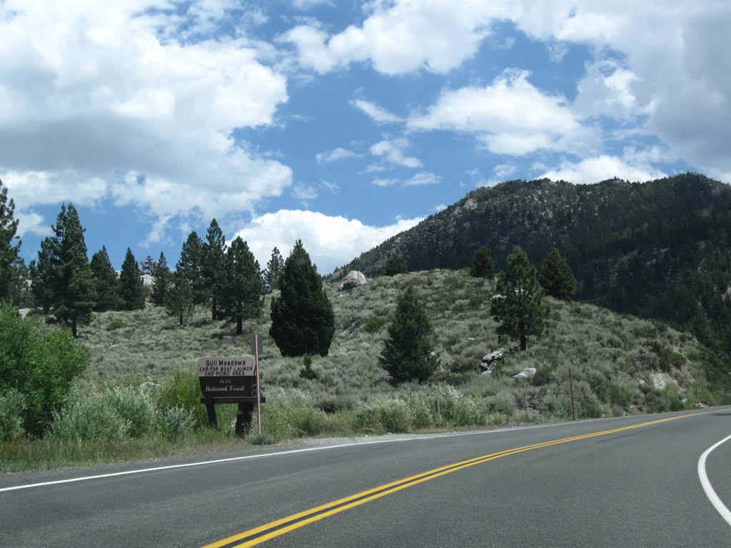 |
Ahead is Gull Meadows Picnic Area and Boat Launch. Photo taken 07/25/09. | ||
 |
 |
 |
This series of photos follows California 158 east as it passes around the south side of Gull Lake between the Gull Meadows Picnic Area and Gull Lake Campground. Photos taken 07/25/09. |
 |
 |
 |
Eastbound California 158 meets Reversed Creek Lane, which accesses Gull Lake Campground. Photos taken 07/25/09. |
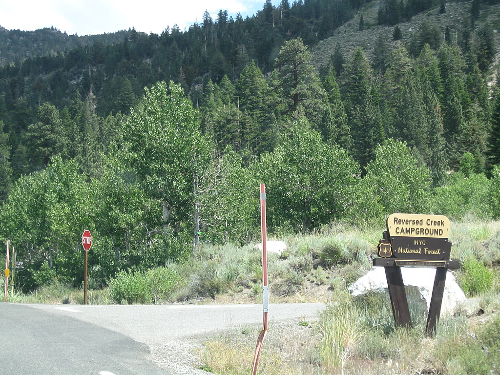 |
The next intersection connects California 158 to Reversed Creek Campground. Photo taken 07/25/09. | ||
 |
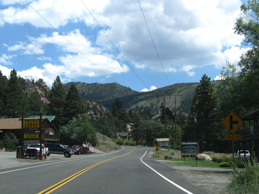
California 158 enters the unincorporated community of June Lake (population 613 as of 2000 Census). With tourism as a major factor in the local economy, many of the businesses are geared toward tourist activities in the area, both winter and summer. During winter, skiers visit June Mountain, which is located west of town. Photo taken 07/25/09. | ||
 |
 |
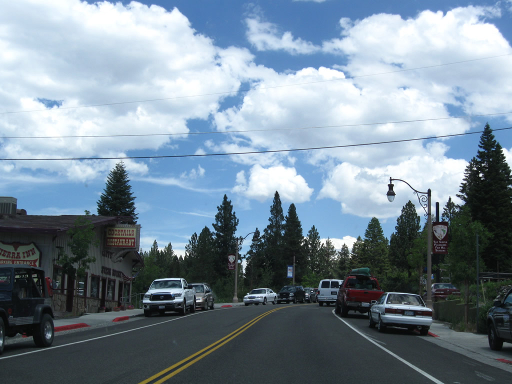 |
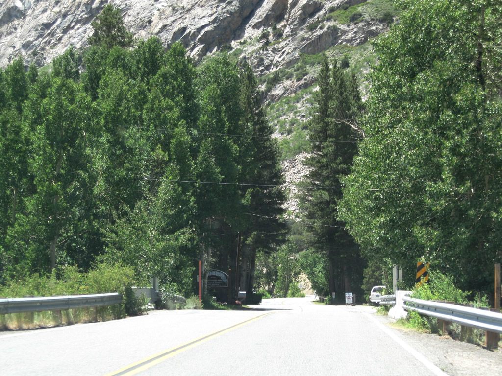
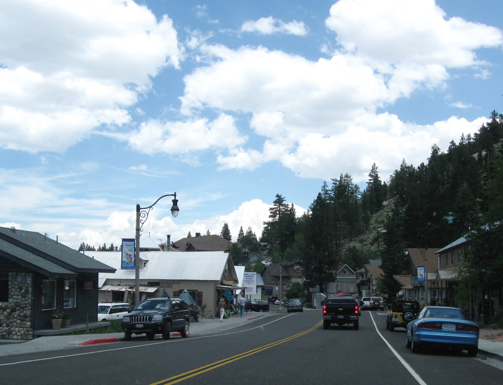
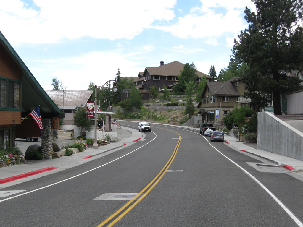
Eastbound California 158 passes through the community of June Lake. Most motorist services are available here (gas, food, lodging, camping). Photos taken 07/25/09. |
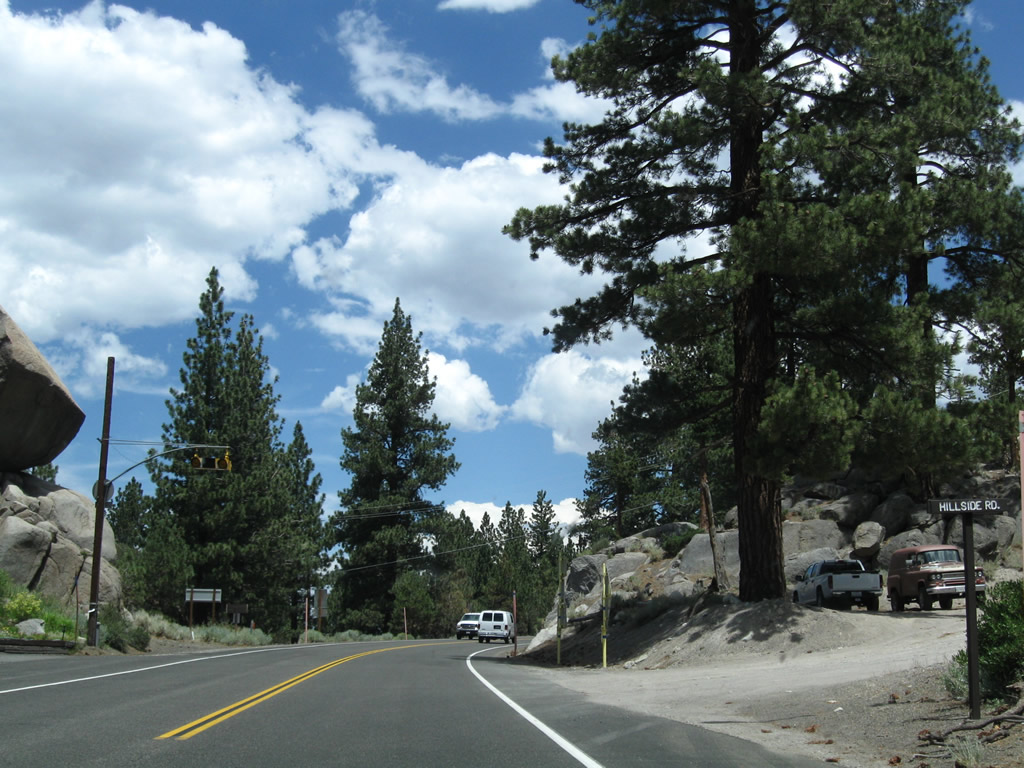 |
Leaving downtown June Lake, California 158 approaches the fire station. A balanced rock sits on the left (north) side of the highway next to the fire house. This station is located at the Hillside Road intersection. Photo taken 07/25/09. | ||
 |
 |
 |
California 158 approaches the shore of June Lake itself near a slide area. The highway can be closed from time to time due to rock slides and other issues with the cut made to connect the road. Photos taken 07/25/09. |
 |
 |
 |
Eastbound California 158 approaches North Shore Road, which loops around the north shore of both June Lake and Gull Lake. Turn left here for Oh! Ridge and the June Lake Picnic Area, which features a swimming beach. Photos taken 07/25/09. |
 |
Eastbound California 158 approaches U.S. 395. This major north-south corridor links the communities of the Eastern Sierra together, including Mammoth Lakes and Bishop to the south and Lee Vining and Bridgeport to the north. Photo taken 07/25/09. |
 |
A U.S. 395 trailblazer is posted shortly thereafter. The (138kV?) power line bringing electricity from the Rush Creek Hydroelectric Project into the power grid passes over California 158 prior to the U.S. 395 intersection at June Lake Junction. Photo taken 07/25/09. |
 |
After a stop ahead sign, this guide advises whether U.S. 395 is open or closed north and south of here. Due to possible snow storms, rock slides, wildfires, traffic accidents, or other incidents, segments of busy U.S. 395 can potentially be closed at any time during the year. Photo taken 07/25/09. |
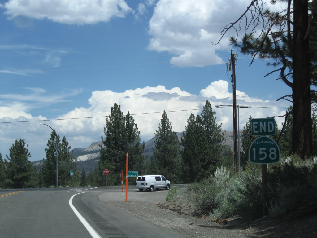 |
An end California 158 shield assembly is posted just prior to the U.S. 395 intersection. This is the southern terminus of the June Lake Loop, which is shaped almost like the letter "C." Photo taken 07/25/09. |
 |
California 158 meets U.S. 395 at June Lake Junction. Turn left to follow U.S. 395 north to Lee Vining (11 miles), with access to Yosemite National Park via California 120 west. Turn right to follow U.S. 395 south to Mammoth Lakes and Bishop (54 miles). U.S. 395 continues south of Bishop toward Los Angeles, San Bernardino, and San Diego. Photo taken 07/25/09. |

Page Updated April 25, 2010.
|
About Contact Glossary |
In The News Testimonials Interstate Guide |
Social Media:
 |
|
© 2000-23 AARoads.com | All Rights Reserved | Privacy Policy / Terms of Use
|
||