California 155 connects Delano with Lake Isabella, crossing the Greenhorn Mountains along the way. It is a very winding and slow route due to the steep grades and construction designed to keep the road true to the contours of the landscape. At the east end, California 155 turns south at Wofford Heights to follow the west shore of Isabella Reservoir, connecting to the town of Lake Isabella and California 178 freeway.
| California 155 east |
|
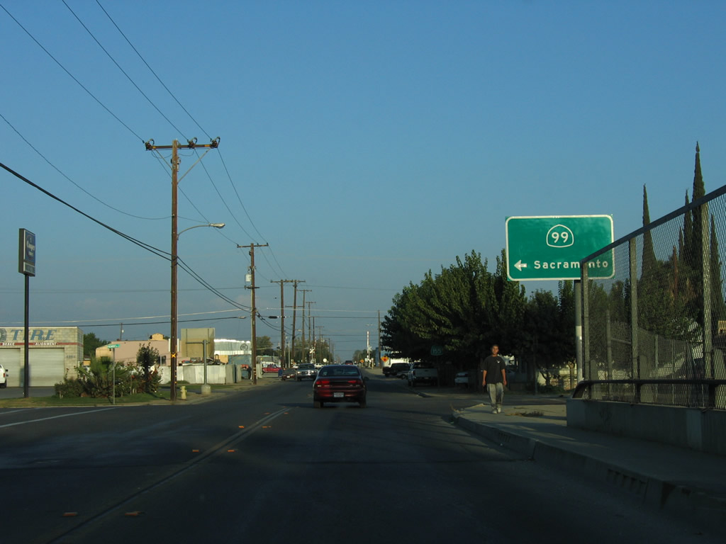
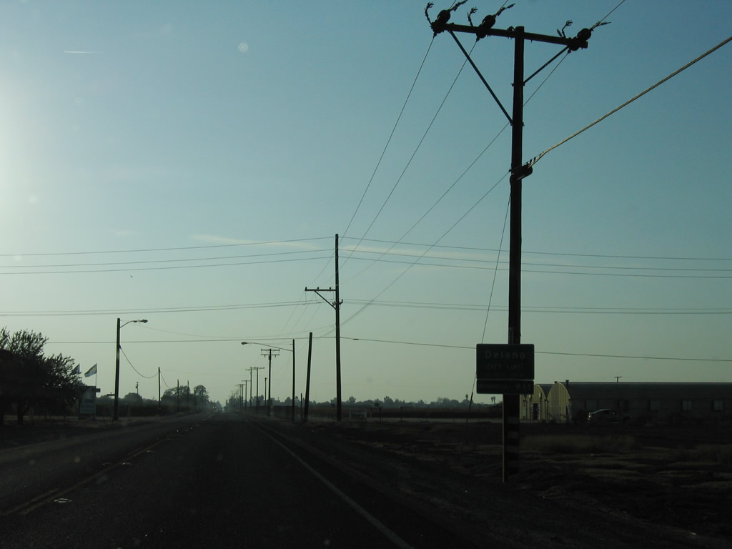
Eastbound California 155 (Garces Highway) begins its journey in the city of Delano at the California 99 interchange east of downtown. Photo taken 10/08/06. |
|
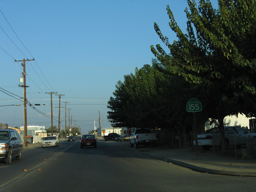
The first California 155 east reassurance shield is posted along Garces Highway shortly after the California 99 interchange. Few if any state reassurance shields along 155 have directional banner (east or west). Photo taken 10/08/06. |
|
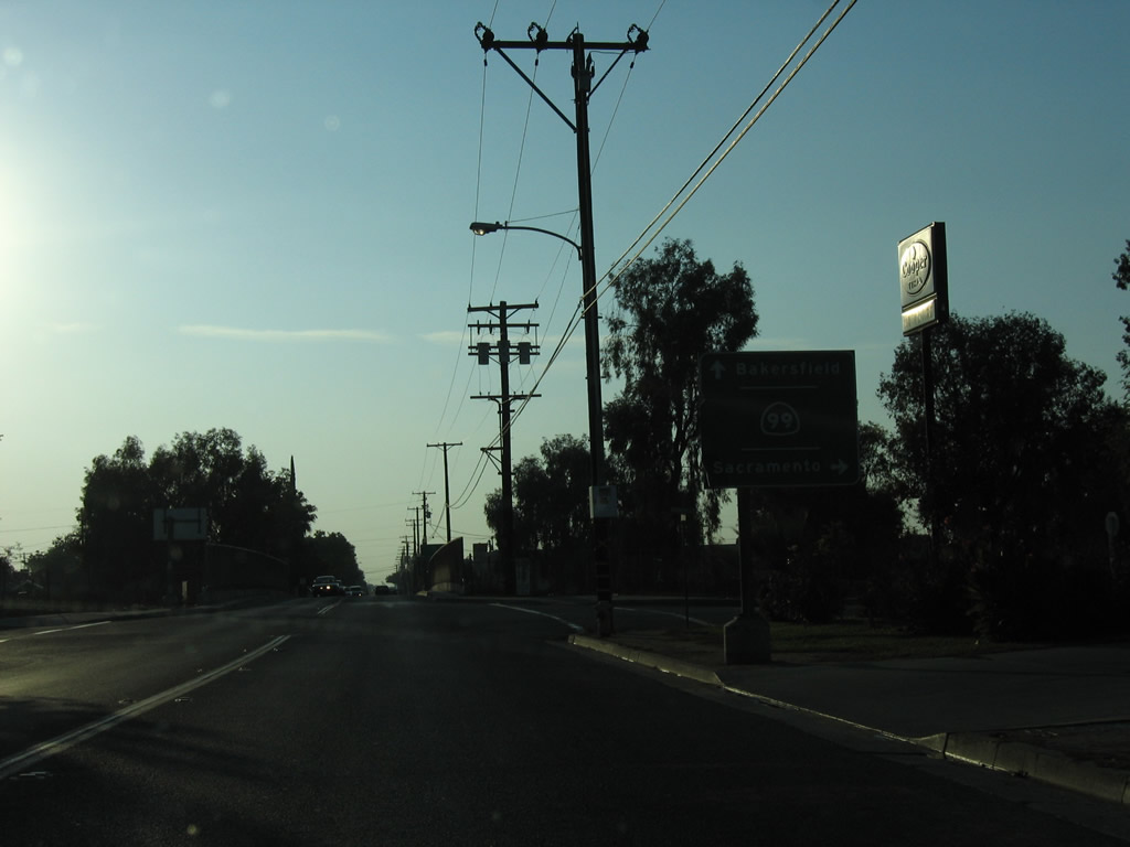
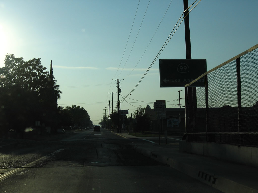
Ahead, eastbound California 155 (Garces Highway) approaches California 99 Business (old U.S. 99) south to Bakersfield. Photo taken 10/08/06. |
|
|
|
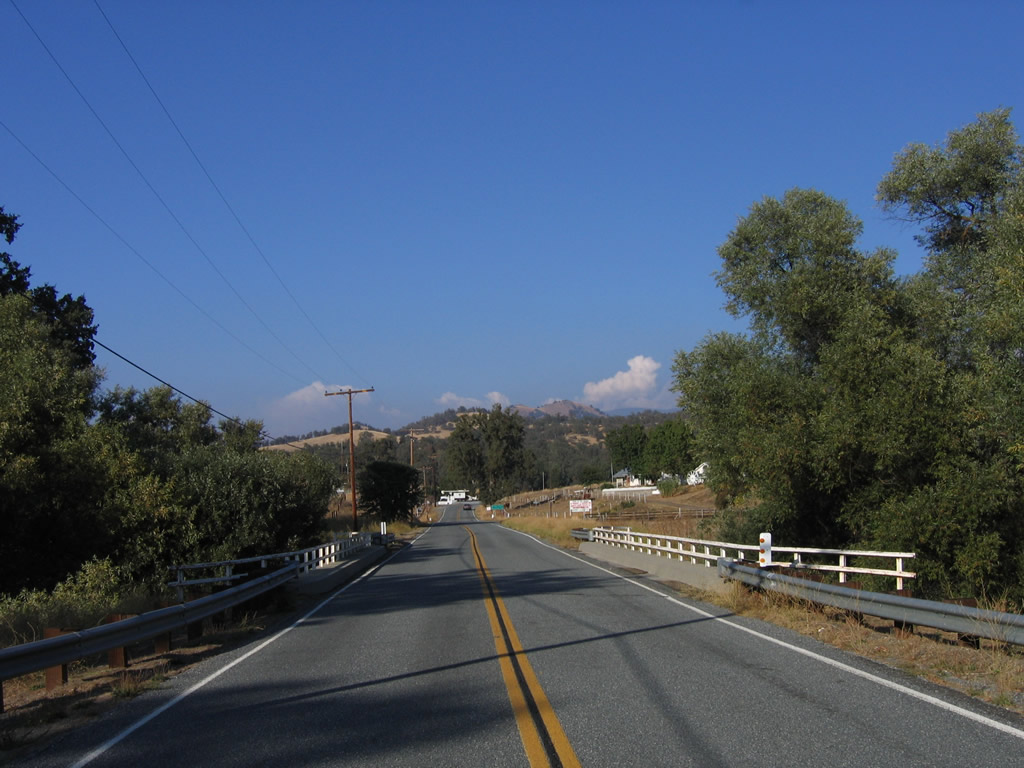
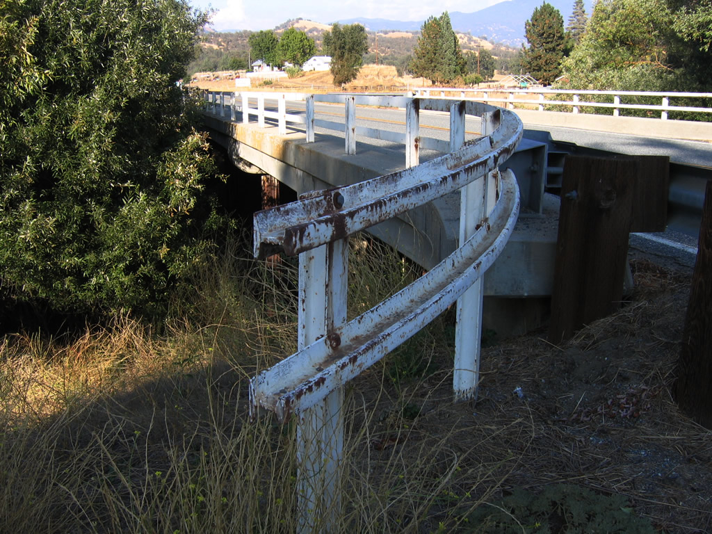
This 1943 bridge carries California 155 (Garces Highway) over Poso Creek west of Glennville. Due to the war effort at the time, old railroad surplus items were reused for this bridge, including the railing. Photo taken 10/08/06. |
|
|
|
|
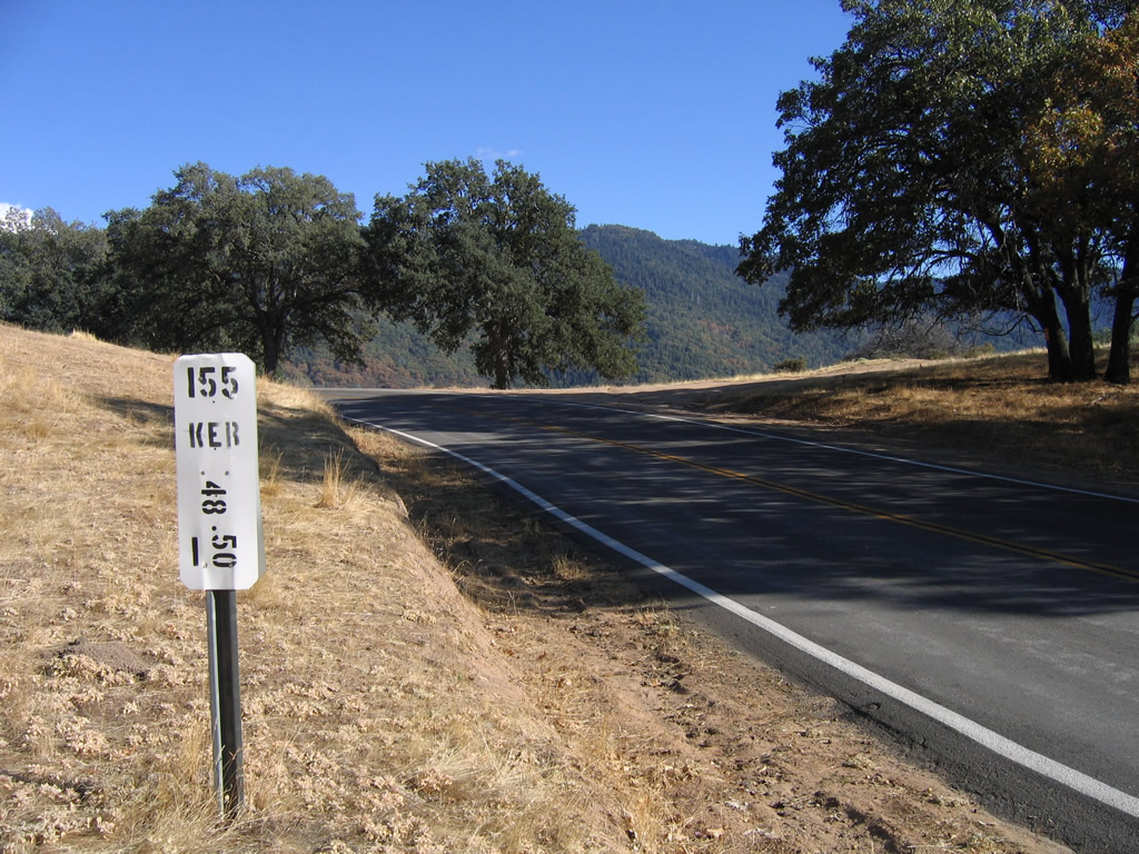
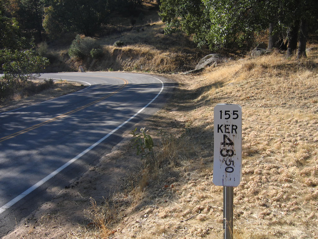
A post mile is found on the left side of eastbound California 155 (Garces Highway). Photo taken 10/08/06. |
|
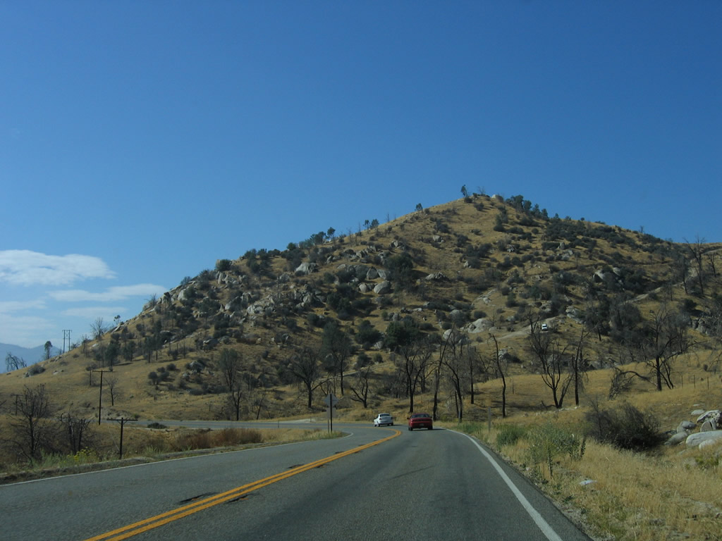
California 155 (Garces Highway) continues east toward Greenhorn Summit, but the trek is winding and slow. Photo taken 10/08/06. |
|
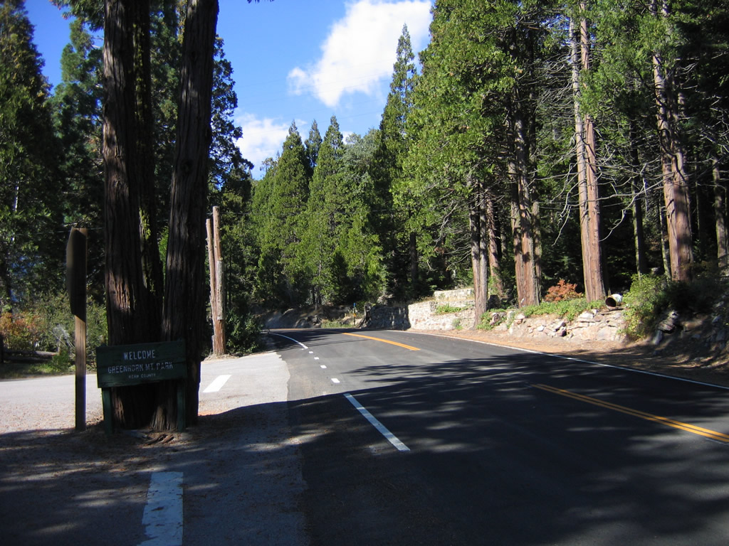
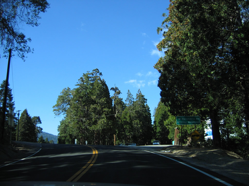
Eastbound California 155 (Garces Highway) approaches Rancheria Road south to Shirley Meadows. At this point, California 155 reaches its highest point at Greenhorn Summit (el. 6,102 feet). Photo taken 10/08/06. |
|
This California 155 east trailblazer is posted after the intersection between Garces Highway and Old State Highway in Greenhorn Mountain County Park. Photo taken 10/08/06. |
| California 155/Wofford Boulevard east (south) |
|
Traveling south along Wofford Boulevard just south of Wofford Heights, the state highway passes through scenic foothills and woodlands. Photo taken 10/08/06. |
| California 155/Kernville Road east (south) |
|
After the Sawmill Boulevard intersection, eastbound (southbound) California 155 follows the eastern shore of Lake Isabella reservoir and changes names to Kernville Road. Photo taken 10/08/06. |
|
The Lake Isabella reservoir comes into view along southbound Kernville Road. Photo taken 10/08/06. |
|
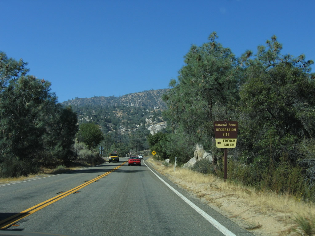
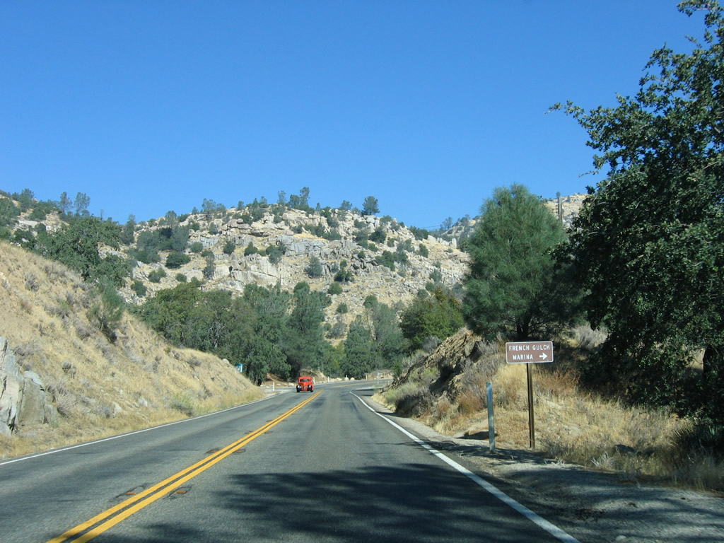
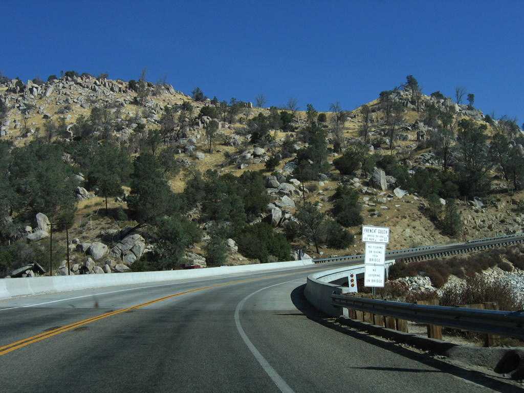
Southbound California 155/Kernville Road approaches the turnoff to French Gulch recreation area. Photo taken 10/08/06. |
|
This California 155 south (east) shield is posted after the French Gulch recreation area turnoff. Photo taken 10/08/06. |
|
|
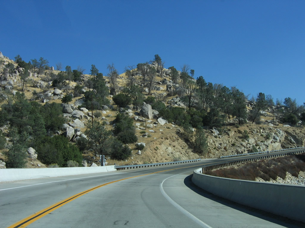
Alongside the east shore of Isabella Reservoir, southbound California 155 crosses the French Gulch Bridge, which crosses over a branch of Isabella Reservoir. The reservoir can be seen to the west of the two-lane highway. Photos taken 10/08/06 and by Erik Fox (10/15/06). |
|
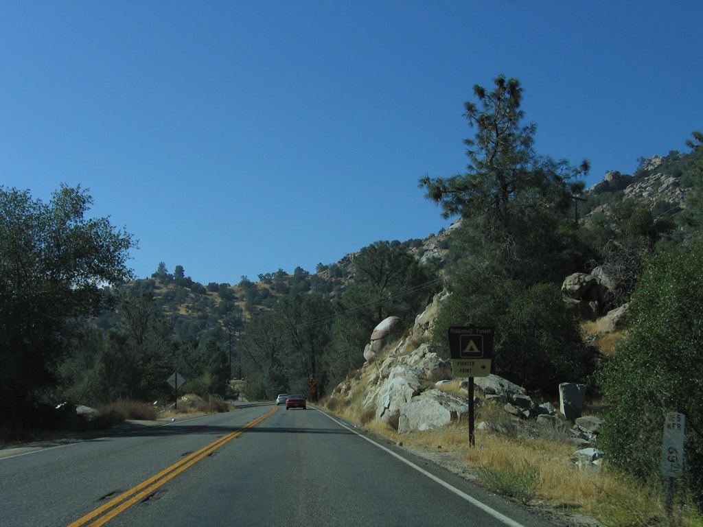
Eastbound California 155/Kernville Road approaches the Pioneer Point campground turnoff. Photo taken 10/08/06. |
|
Turn left ahead for the French Gulch Marina. Photo taken 10/08/06. |
|
A vista point is located ahead on the left of California 155/Kernville Road. Photo taken 10/08/06. |
|
After the Keyesville Road turnoff, a California 155 reassurance shield is posted along southbound Kernville Road. Photo taken 10/08/06. |
|
The next turnoff from California 155/Kernville Road is the Pioneer Point campground turnoff. Photo taken 10/08/06. |
|
Eastbound California 155/Kernville Road crosses over the Kern River, which spills out of the Isabella Dam complex. Photo taken 10/08/06. |
|
The next left turn leads from California 155/Kernville Road to the Isabella Dam visitors center and boat ramp. Photo taken 10/08/06. |
|
California 155/Kernville Road enters the unincorporated community of Lake Isabella. Photo taken 10/08/06. |
|
Soon thereafter, southbound California 155 approaches California 178, the Isabella Bypass. The highway travels east toward Walker Pass, Freeman Junction, and Ridgecrest. To the west, California 178 leads into the narrow Kern River Canyon, then emerges in Bakersfield, ending at California 99. Photo taken 10/07/06. |
|
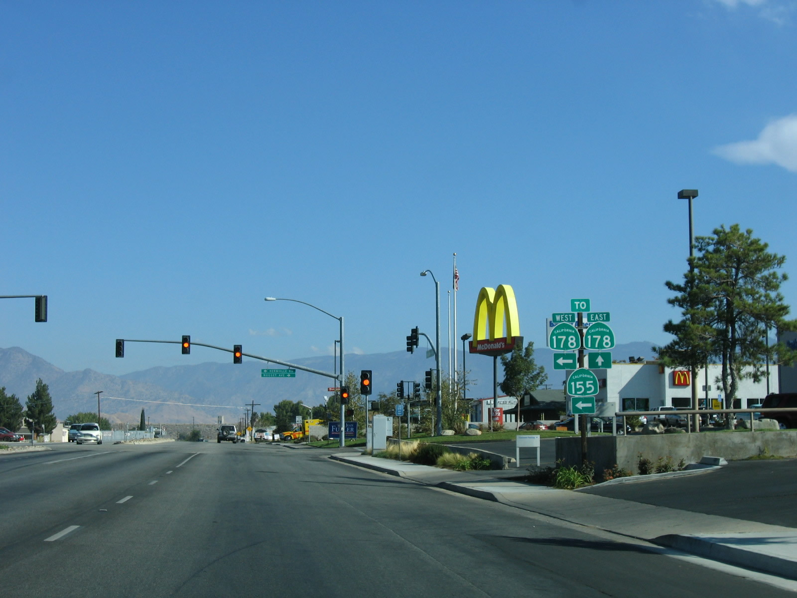
An end shield assembly is posted for California 155 at the ramp to California 178 west to Bakersfield. The next left is the link to California 178 east to Ridgecrest. Photo taken 10/07/06. |
| Kernville Road west |
|
After the Lake Isabella Boulevard intersection, Kernville Road travels almost due west to the interchange with California 178. Photo taken 10/08/06. |
|
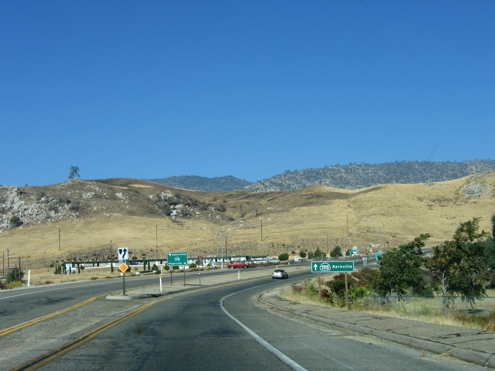
A trailblazer on northbound Kernville Road points the way to California 155 west (north) to Kernville. The next interchange is with California 178 east to Inyokern and west to Bakersfield. Photo taken 10/08/06. |
|
Turn right from Kernville Road to California 178 east to Inyokern and Ridgecrest. Turn left after crossing over the freeway to California 178 west to Bakersfield. Photo taken 10/08/06. |
|
A freeway entrance shield is posted for California 178 east to Ridgecrest, followed by the first California 155 reassurance shield. Photo taken 10/08/06. |
| California 155/Kernville Road west (north) |
|
The next left connects California 155/Kernville Road with California 178 west to Bakersfield. Photo taken 10/08/06. |
|
The second California 155 reassurance shield is posted along northbound Kernville Road after the California 178 interchange. Photo taken 10/08/06. |
|
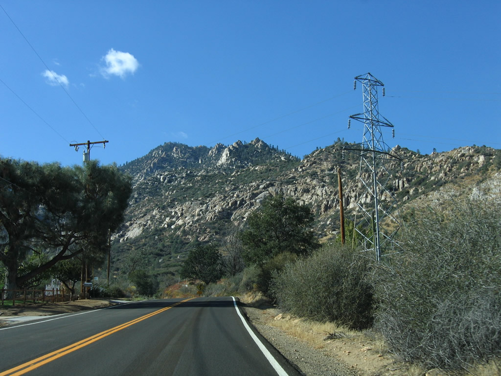
As a set of Southern California Edison power lines comes into view, northbound California 155 approaches several turnoffs related to Isabella Dam and various Lake Isabella recreational areas, such as boat ramps and docks. Authorized in 1948 and completed in March 1953, Isabella Dam holds back water from the Kern River. This project was built to protect against downstream flooding, but it has ancillary uses for hydroelectric power and water supply for urban and agricultural use in the Central Valley. While California 155 passes by the main dam, a second dam closer to California 178 holds back water as part of the Borel project. Photo taken 10/08/06. |
|
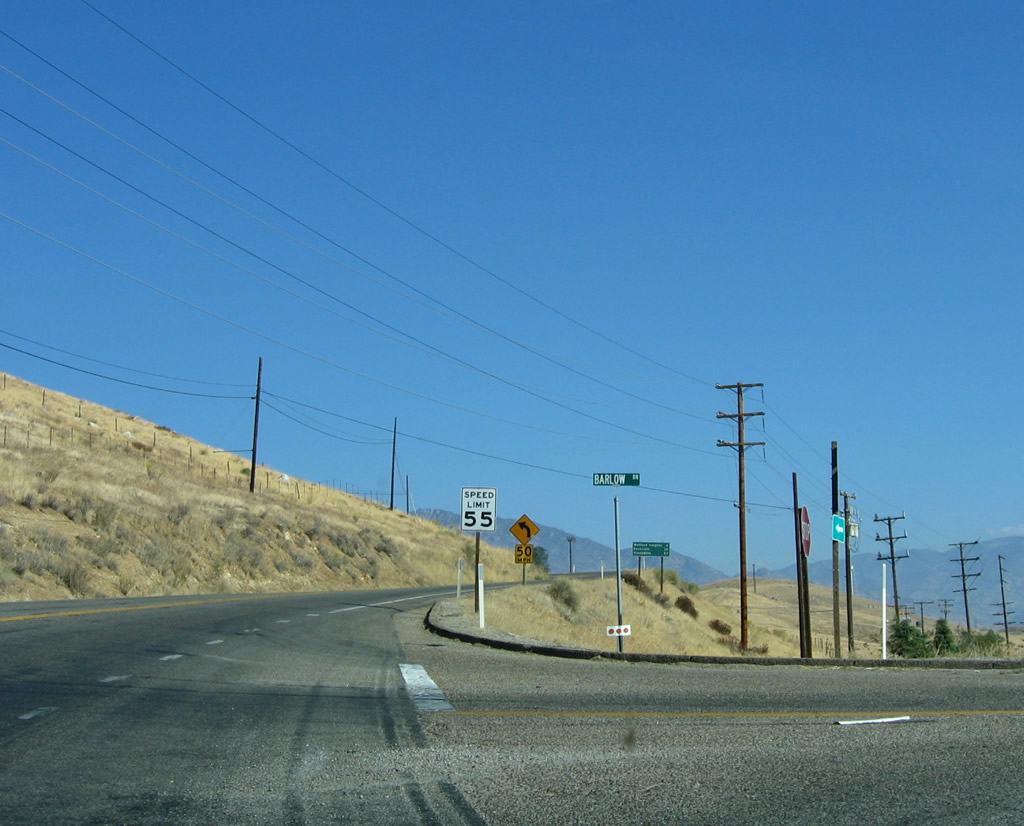
Northbound California 155/Kernville Road meets Barlow Road, which travels east to areas in front of both dams that are part of the Isabella Dam project. The dam visible to the right (east) of California 155 is the Borel portion of the dam, which provides water into the Borel Canal. Photo taken 10/08/06. |
|
After the intersection with Barlow Road and the turnoff to the Lake Isabella Visitors Center is this California 155 reassurance shield. Photo taken 10/08/06. |
|
The next "exit" is with Ponderosa Drive northeast to the main dam, which has the Kern River flowing out of it. Photo taken 10/08/06. |
|
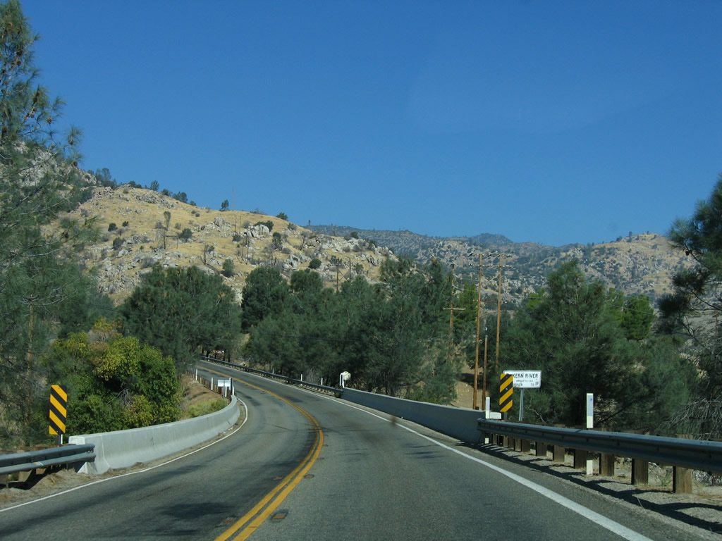
Northbound California 155 crosses over the Kern River. Photo taken 10/08/06. |
|
A turnoff (to Keysville Road) on the left side of California 155 leads to the launching point for rafting on the Kern River. Photo taken 10/08/06. |
|
The next right is for a Vista Point looking down on the main dam. There are no restroom facilities at the Vista Point. Photo taken 10/08/06. |
|
This view looks north along California 155 from the vista point. Photo taken 10/08/06. |
|
The next right is for the French Gulch Marina. Photo taken 10/08/06. |
|
The next left connects northbound California 155/Kernville Road with Dutch Flat Road. After that intersection, the highway crosses over French Gulch on a modern bridge. Photo taken 10/08/06. |
|
|
Northbound California 155/Kernville Road crosses over French Gulch (this is the bridge shown at the top of the page). Photos taken 10/08/06. |
|
The next right leads to French Gulch Recreation Area (administered by the National Forest Service). Photo taken 10/08/06. |
|
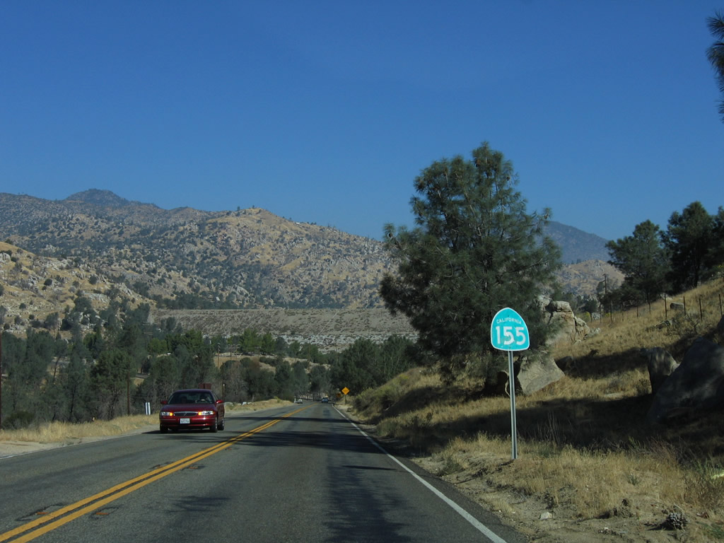
A Southern California Edison power transmission line crosses over California 155/Kernville Road near the French Gulch turnoff. Photo taken 10/08/06. |
|
|
|
This series of photos follows northbound California 155/Kernville Road as it follows the western shore of Lake Isabella reservoir. A pair of recreational areas (Hungry Gulch on the west side of the road and Boulder Gulch on the east) provide recreational opportunities along the water. Photos taken 10/08/06. |
|
|
|
| California 155/Wofford Boulevard west (north) |
|
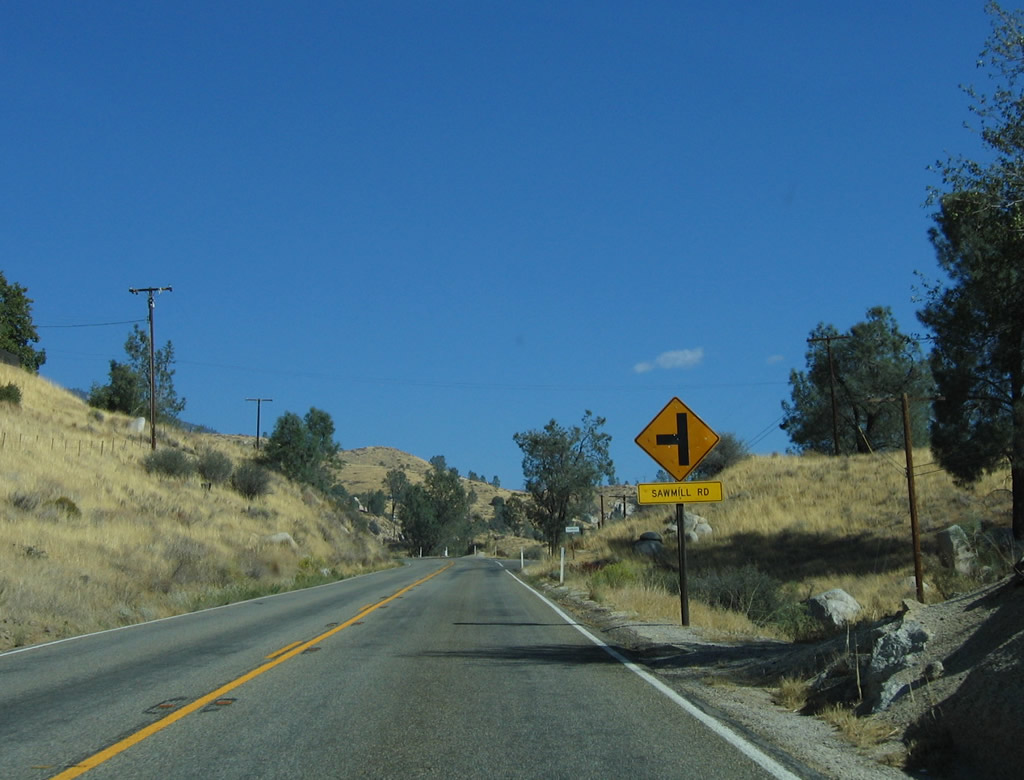
Northbound California 155 approaches Sawmill Road. From here, California 155 becomes known as Wofford Boulevard and leads into the unincorporated community of Wofford Heights. Photo taken 10/08/06. |
|
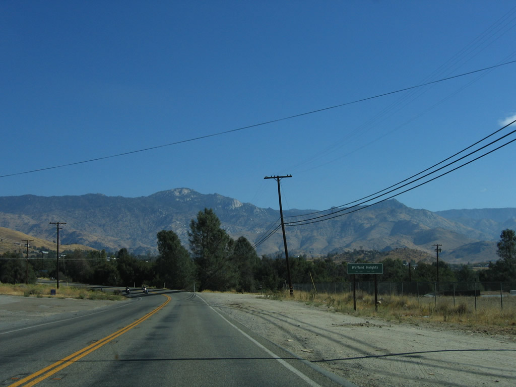
Continuing north, the state highway drops in elevation as it approaches Wofford Heights. Photo taken 10/08/06. |
|
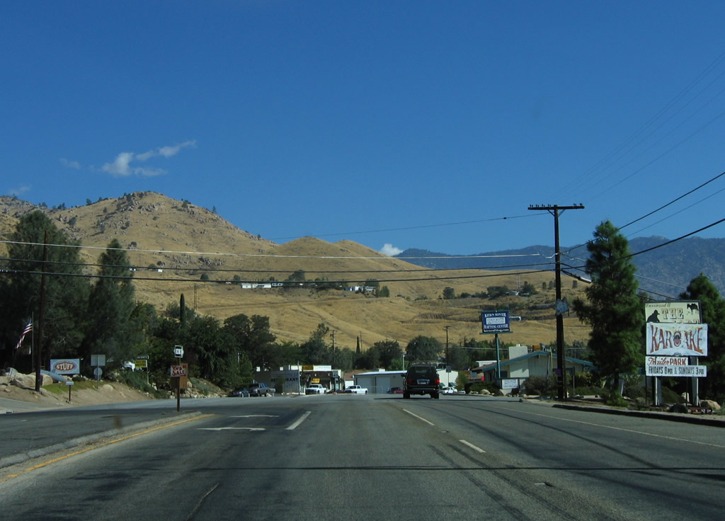
California 155 enters the unincorporated community of Wofford Heights. Photo taken 10/08/06. |
|
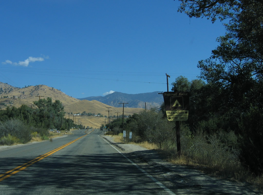
Turn left on Old State Road to the Live Oak campground or right to the Tillie Creek campground. The Tillie Creek campground includes lake access. Photo taken 10/08/06. |
|
Northbound California 155 meets Old State Road at this intersection. For a nice, winding route west, Old State Road is the former alignment of California 155 that has been replaced by the modern route. Ahead, California 155 widens to four lanes. Photo taken 10/08/06. |
|
Home to 2,276 people as of the 2000 Census, Wofford Heights is an unincorporated community of Kern County that lies on the west shore of Lake Isabella reservoir. California 155 proceeds north along Wofford Boulevard as a four-lane highway. Photo taken 10/08/06. |
|
Northbound California 155 approaches Lakeshore Drive. Despite the name, there is no public lake access by turning right here; it is access to a private development. Photo taken 10/08/06. |
|
California 155 will turn off of Wofford Boulevard and proceed west along Garces Highway toward the Central Valley (via Alta Sierra, Glennville, Woody, and Delano). Continue straight along Wofford Boulevard to Kernville. Photo taken 10/08/06. |
|
California 155 turns west onto Garces Highway at this point. Wofford Boulevard continues north through Wofford Heights toward Kernville. Photo taken 10/08/06. |
| California 155 west |
|
A California 155 west reassurance shield and mileage sign to Alta Sierra, Glennville, and Delano is posted along westbound Garces Highway upon leaving Wofford Boulevard. Ahead, California 155 will follow a very winding and curvaceous path through the Sierra Nevada en route to the Central Valley. Photo taken 10/08/06. |
|
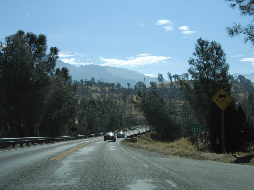
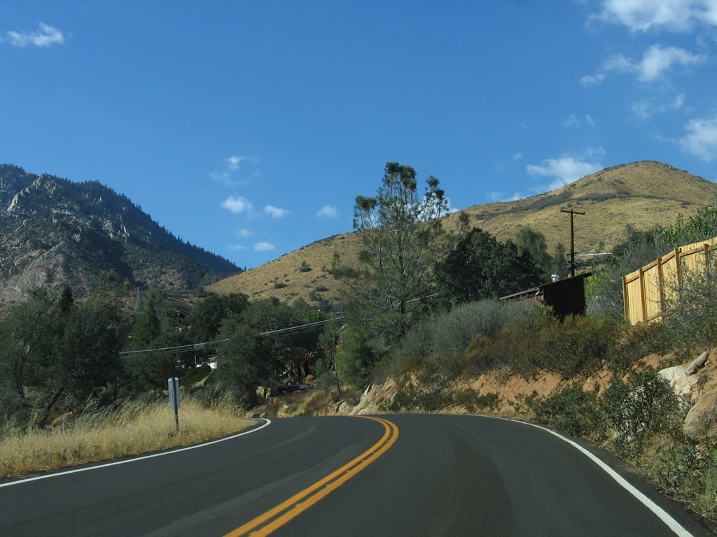
Leaving Wofford Heights, westbound California 155 begins its journey through the Sierra Nevada foothills toward Delano. Photo taken 10/08/06. |
|
Seasonally, chains might be required along California 155 during winter snows and inclement weather. Photo taken 10/08/06. |
|
|
|
|
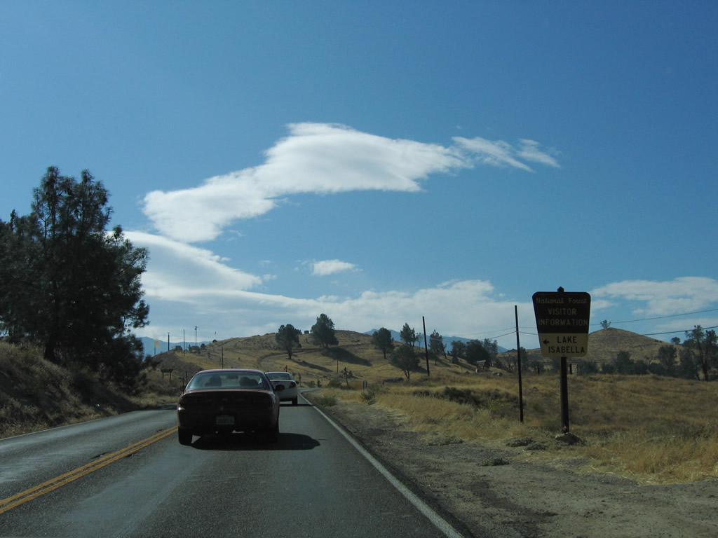
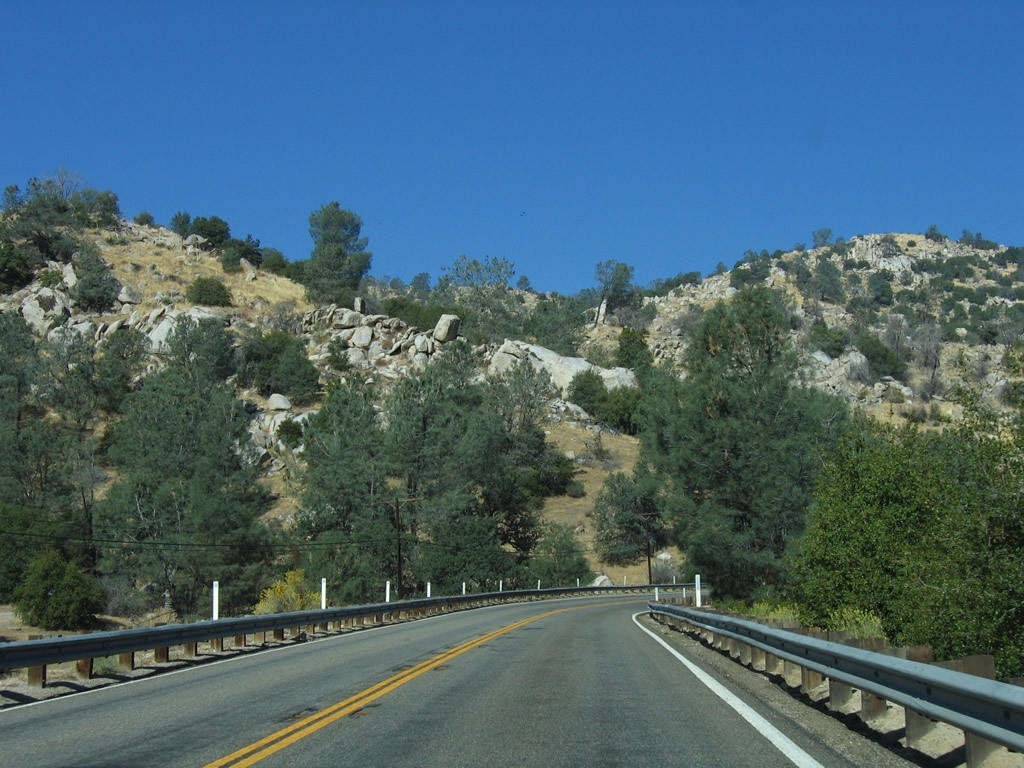
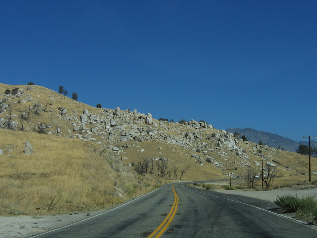
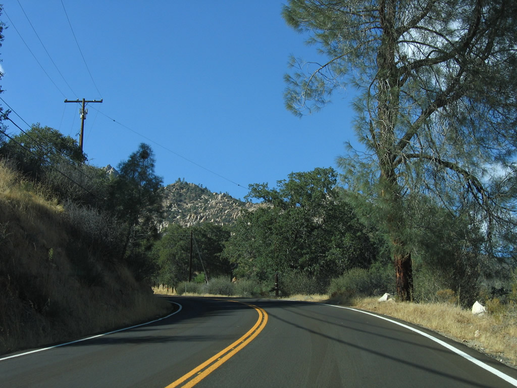
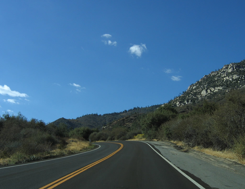
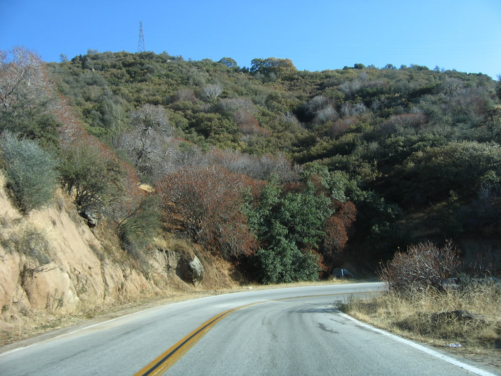
This series of photos follows westbound California 155 (Garces Highway) through the foothills between Lake Isabella and the Central Valley. Photos taken 10/08/06. |
|
|
|
|
|
|
|
|
|
A map kiosk shows the activities around Greenhorn Mountain County Park. Photo taken 10/08/06. |
|
In Greenhorn Mountain County Park, westbound California 155 meets Old State Road. This left connects to a very long and winding old alignment of California 155. The old state highway rejoins California 155 south of Wofford Heights north of Lake Isabella. Photo taken 10/08/06. |
|
Shortly thereafter, westbound California 155 meets Rancheria Road south to the unincorporated community of Shirley Heights. At this point, California reaches its highest point at Greenhorn Summit, elevation 6,102 feet. Photo taken 10/08/06. |
|
|
|
|
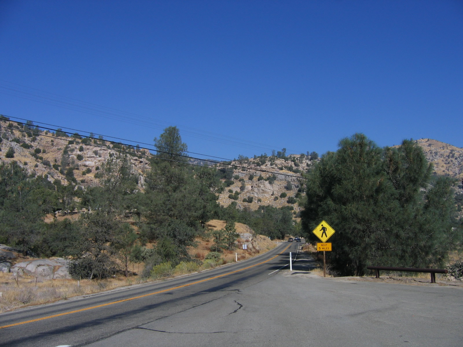
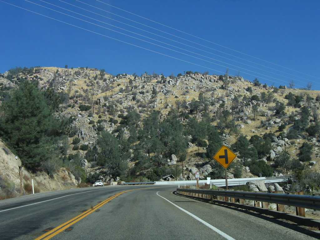
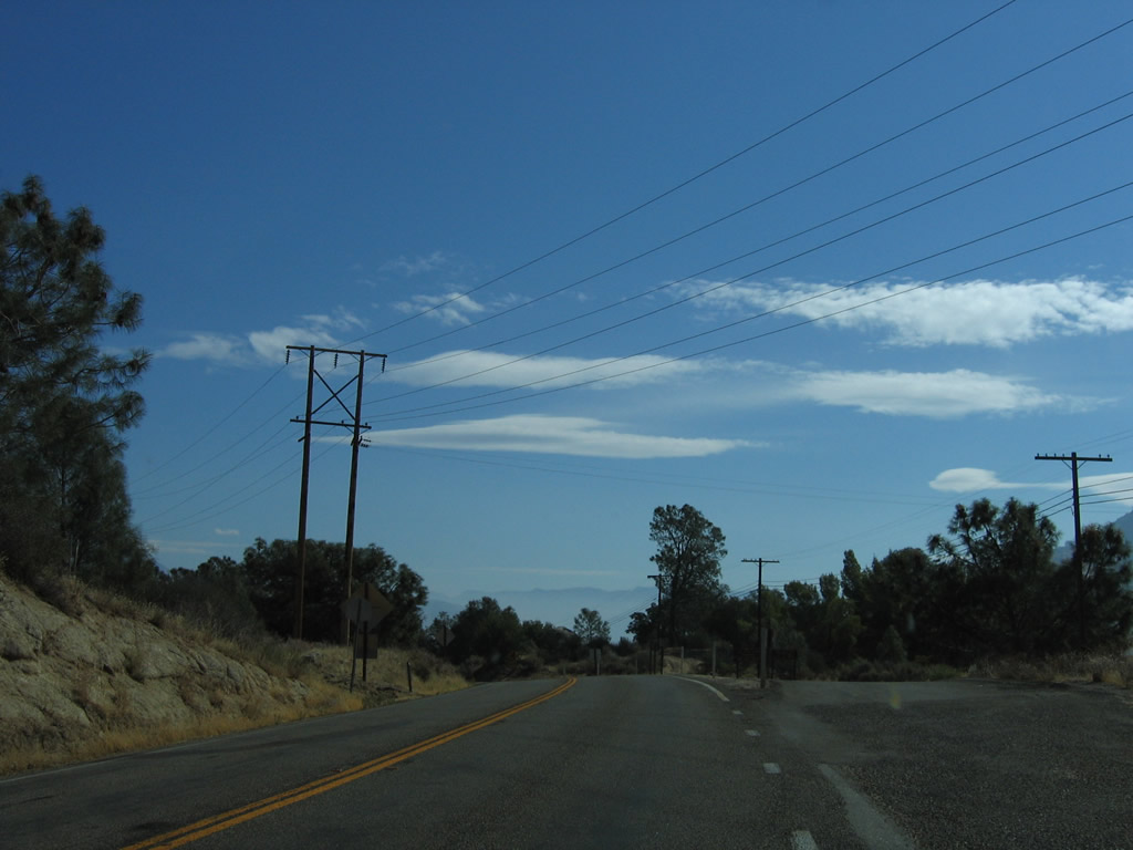
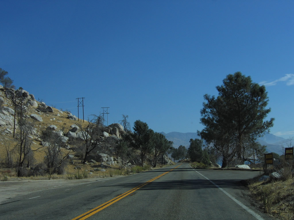
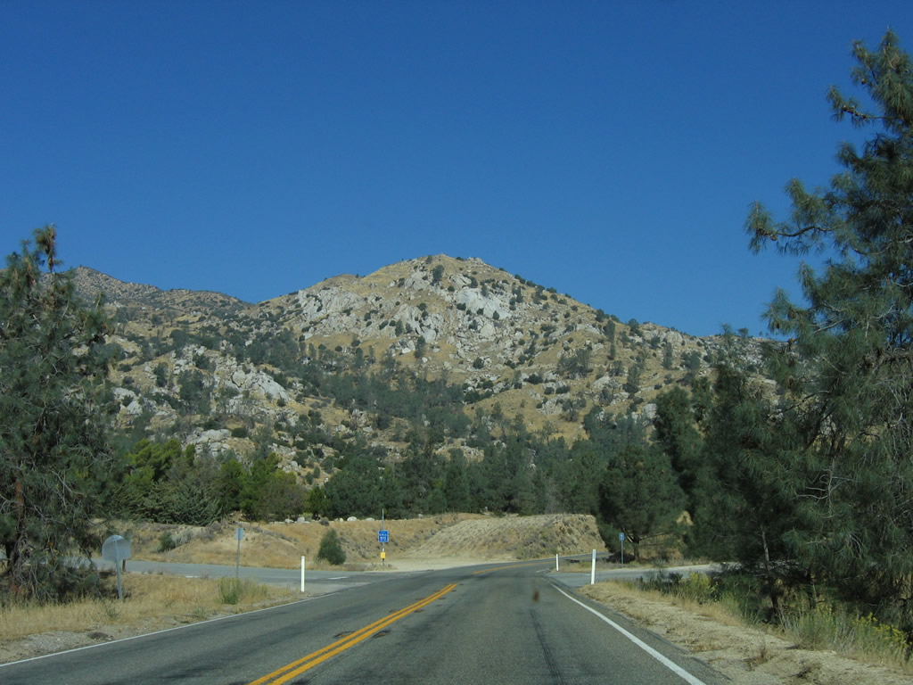
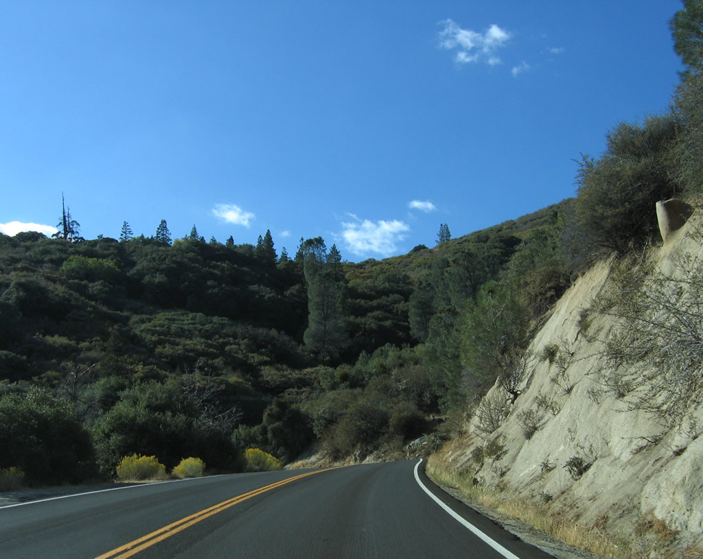
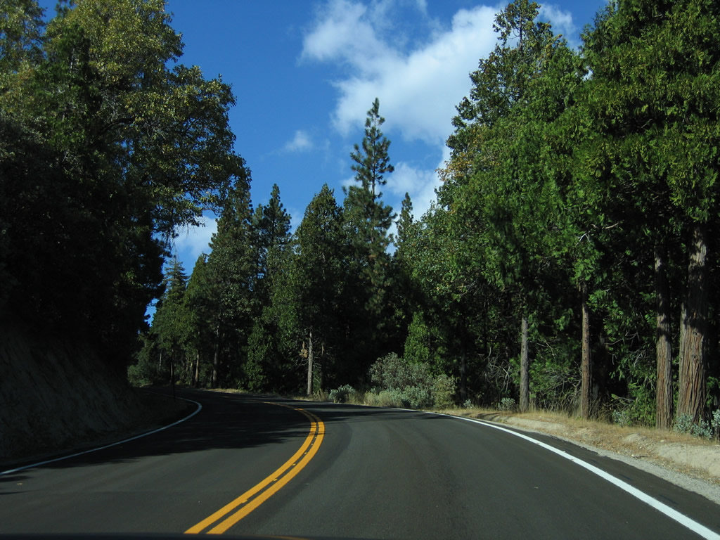
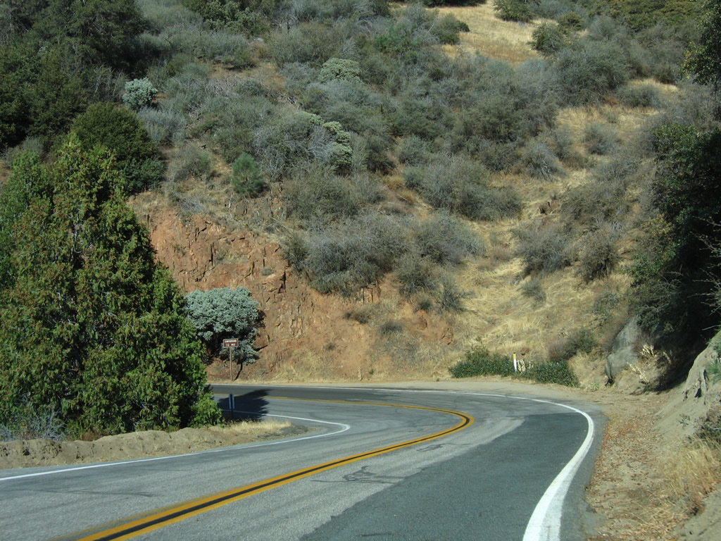
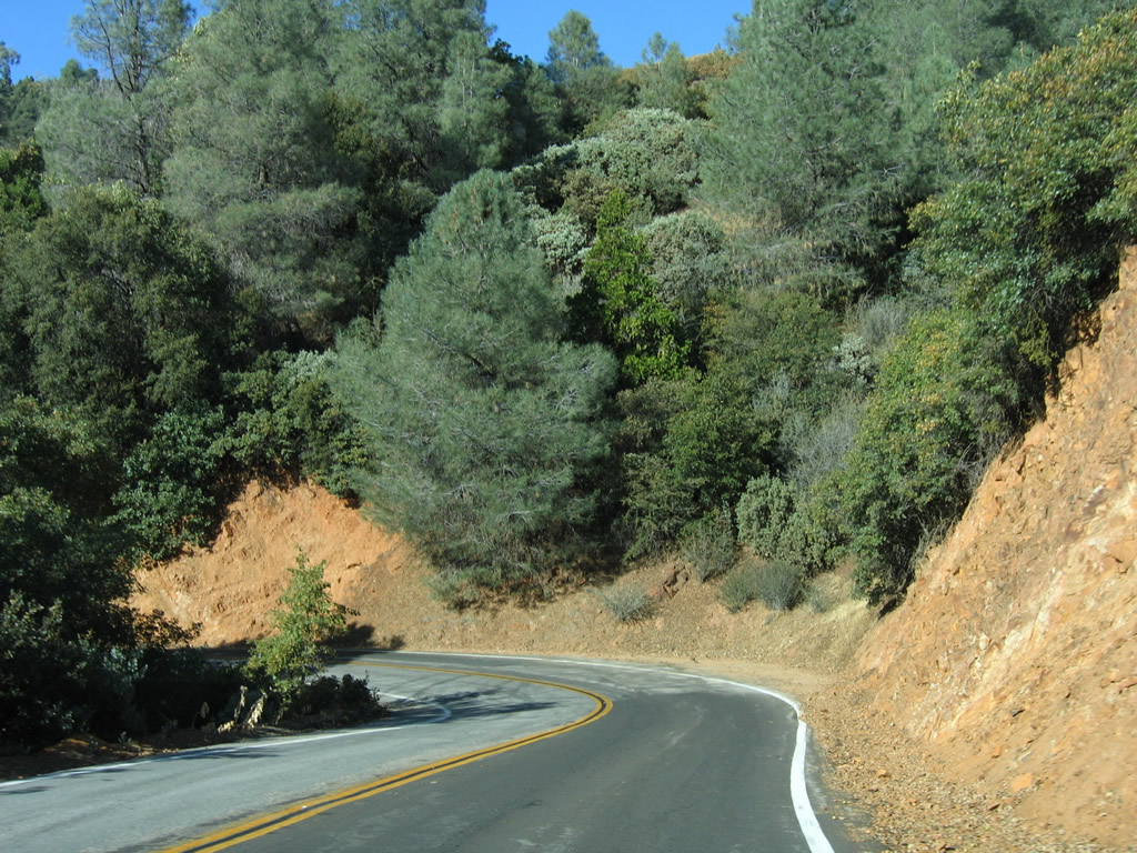
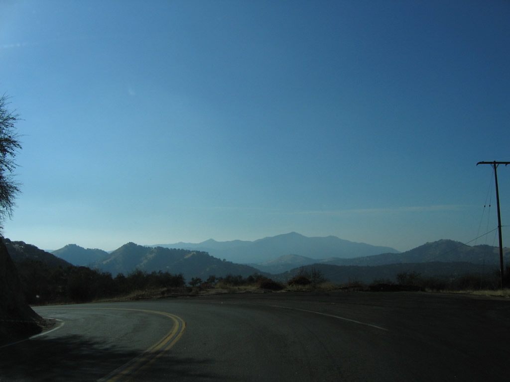
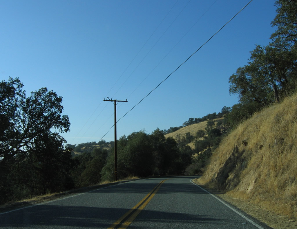
From here, westbound California 155 begins its long descent toward the Central Valley from Greenhorn Summit. Photos taken 10/08/06. |
|
|
|
|
|
|
|
|
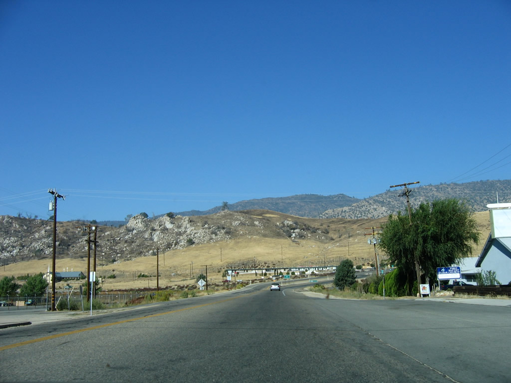
Nearing the bottom of the initial grade from Greenhorn, westbound California 155 enters the unincorporated community of Glennville. Photos taken 10/08/06. |
|
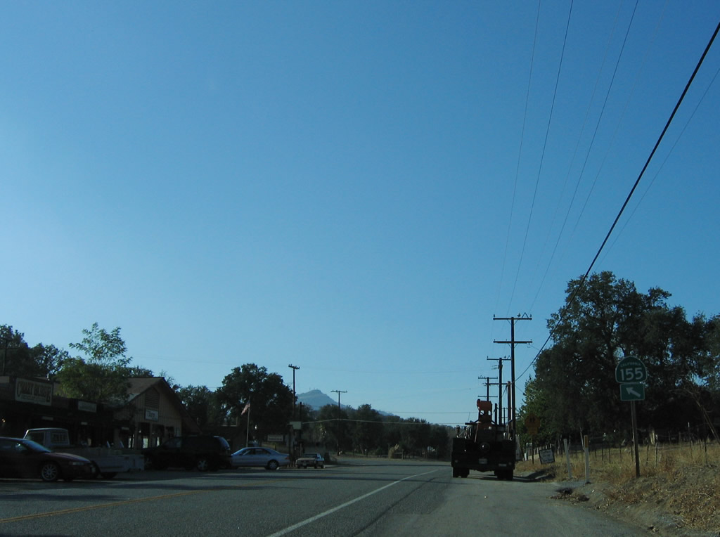
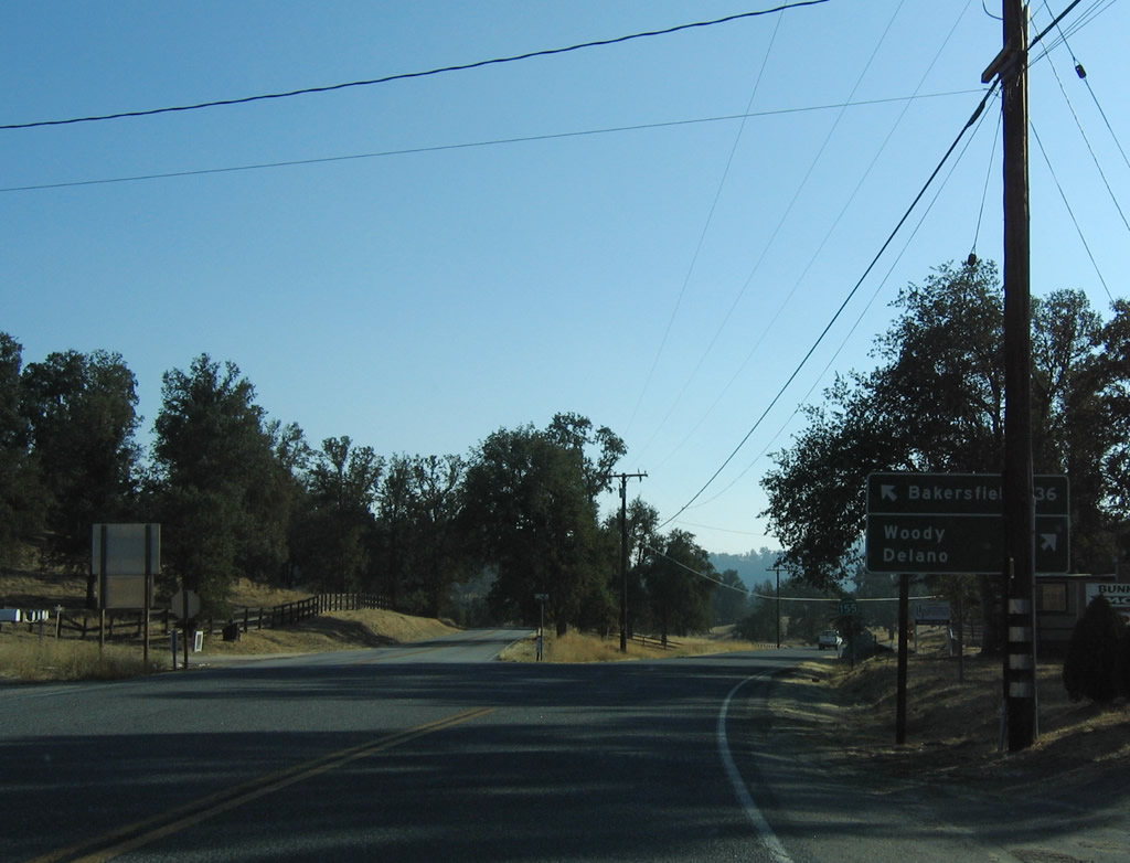
In Glennville, westbound California 155 approaches White River Road. Continue straight (bear right) to follow White River Road to Porterville (40 miles west of here) via Jack Ranch Road north, Parker Pass Road north, Great Western Divide Highway, and California 190 west. Stay left to follow California 155 west to Delano (36 miles). Photo taken 10/08/06. |
|
Granite Road, which is the old alignment of California 155 splits from the modern alignment. The old alignment travels southwest to Bakersfield, while the current alignment continues west to Woody and Delano. Photo taken 10/08/06. |
|
A reassurance shield for California 155 west is posted shortly thereafter. Photo taken 10/08/06. |
|
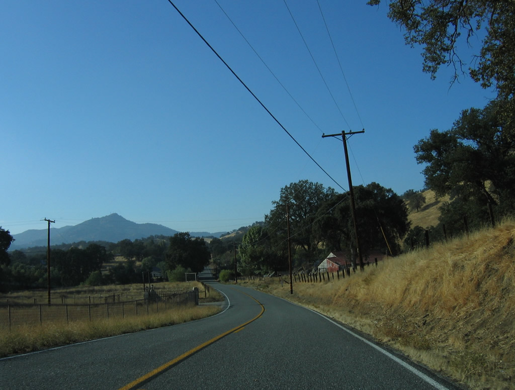
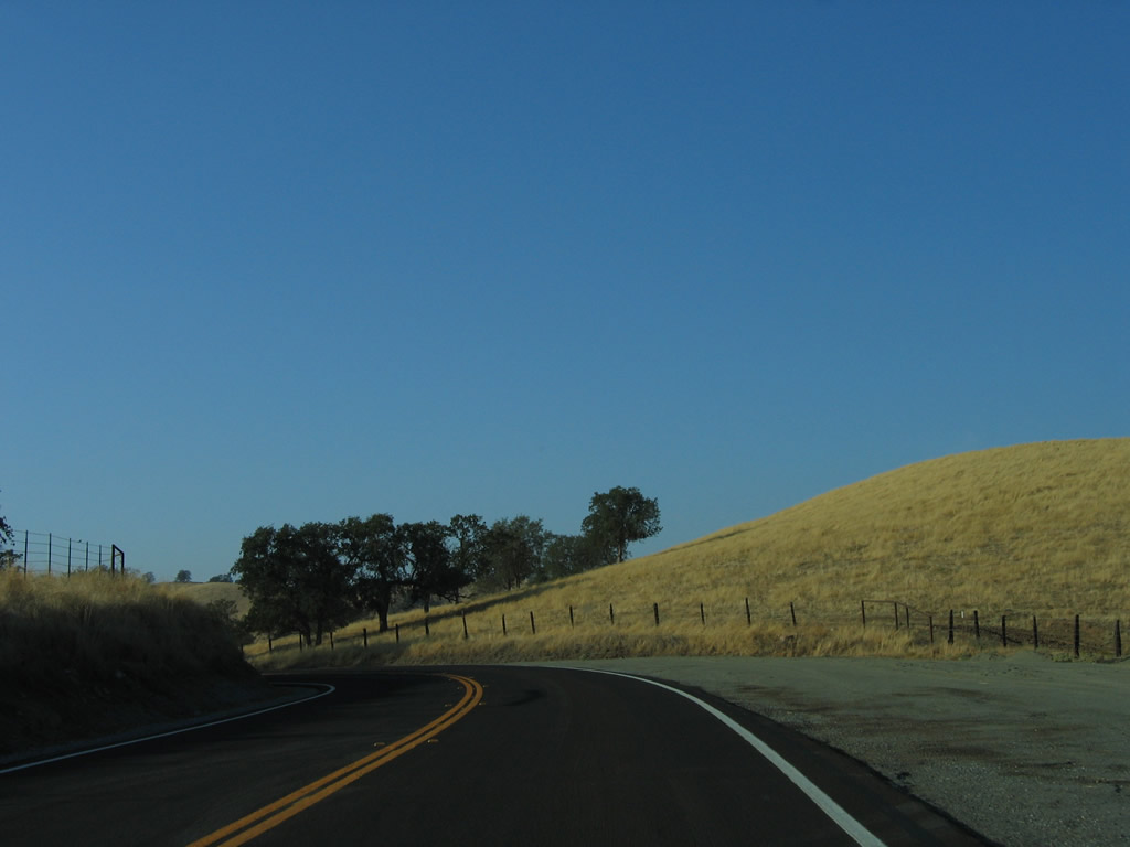
California 155 continues west through the foothills toward Delano. Photo taken 10/08/06. |
|
The terrain around California 155 flattens out somewhat as we enter the Central Valley. Photo taken 10/08/06. |
|
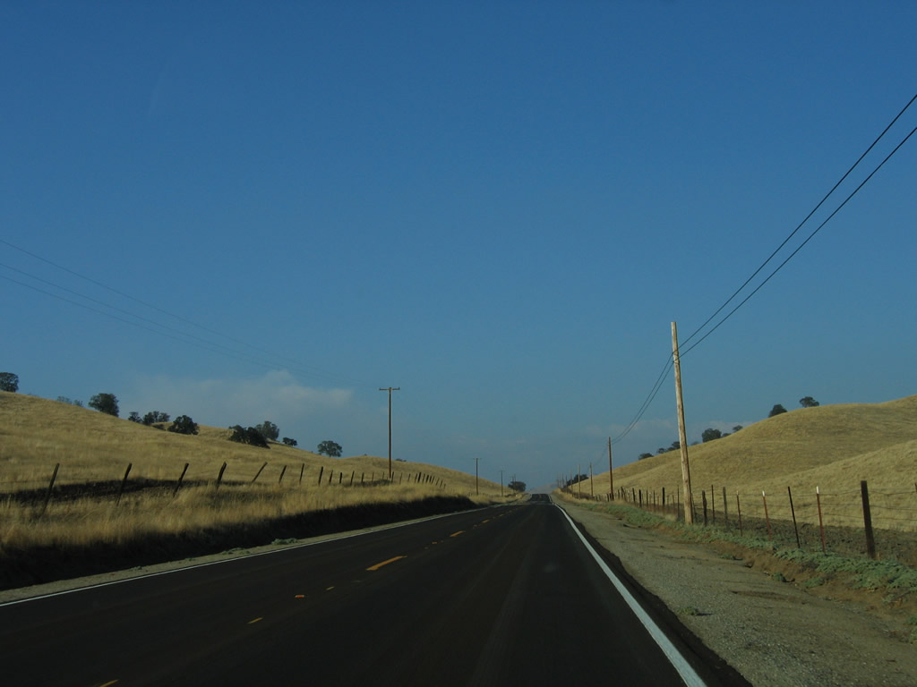
Ranches line both sides of California 155 east of Delano. Photo taken 10/08/06. |
|
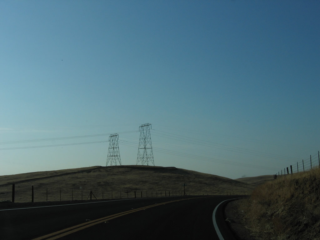
A pair of 220kV Southern California Edison power lines cross over California 155. Photo taken 10/08/06. |
|
Westbound California 155 approaches its first state highway junction since leaving Lake Isabella. The next intersection is with California 65/Eastside Highway north to Porterville and south to Bakersfield. Photo taken 10/08/06. |
|
California 155 meets California 65 at this stop sign. Through traffic on California 65 does not stop at this intersection. Photo taken 10/08/06. |
|
This mileage sign along California 155 west provides the distance to Delano, which is ten miles west of the California 65 intersection. Photo taken 10/08/06. |
|
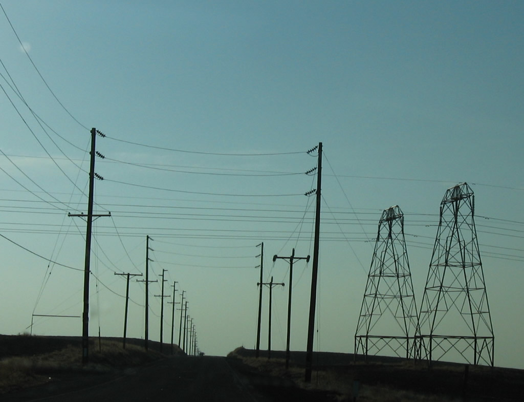
Another set of Southern California Edison power lines cross over California 155. These lines bring hydroelectric power from the Sierra Nevada foothills south to Bakersfield and greater Los Angeles. Photo taken 10/08/06. |
|
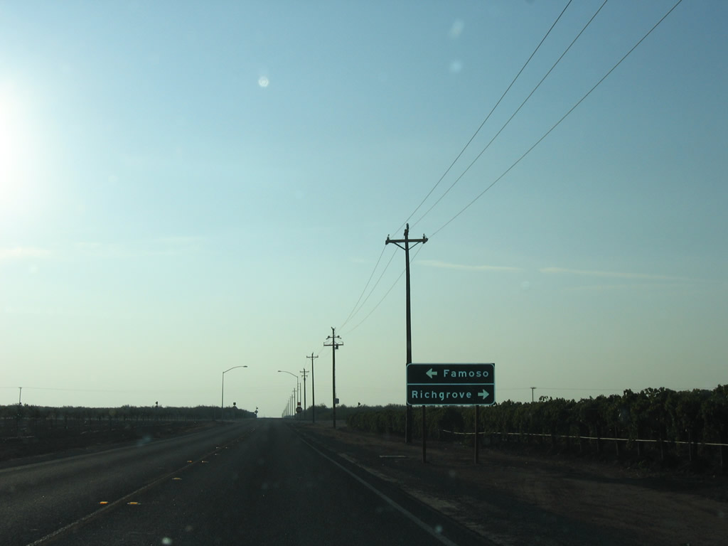
Westbound California 155 meets Famoso-Porterville Highway at this stop sign. Photo taken 10/08/06. |
|
California 155 enters the city of Delano. Photo taken 10/08/06. |
|
Westbound California 155 meets California 99 Business/Golden State Highway (Old U.S. 99) in downtown Delano. Photo taken 10/08/06. |
|
The final California 155 west reassurance shield is posted after the California 99 Business intersection and prior to crossing the railroad tracks. Photo taken 10/08/06. |
|
Westbound California 155 finally ends at the interchange with California 99 (Golden State Freeway). California 99 travels north to Fresno, Modesto, and Sacramento and south to Bakersfield and Los Angeles (via Interstate 5). Turn right here to California 99 north. Photo taken 10/08/06. |
|
After crossing over the California 99 freeway, the next left connects California 155 west with California 99 (Golden State Highway) south to Bakersfield. Photo taken 10/08/06. |
| California 155 scenes |
|
These shields are posted along northbound (eastbound) Lake Isabella Boulevard as it approaches Kernville Road, which travels north to become California 155. Lake Isabella Boulevard is the original alignment of California 178 prior to the construction of its freeway alignment. Photo taken 10/08/06. |
|
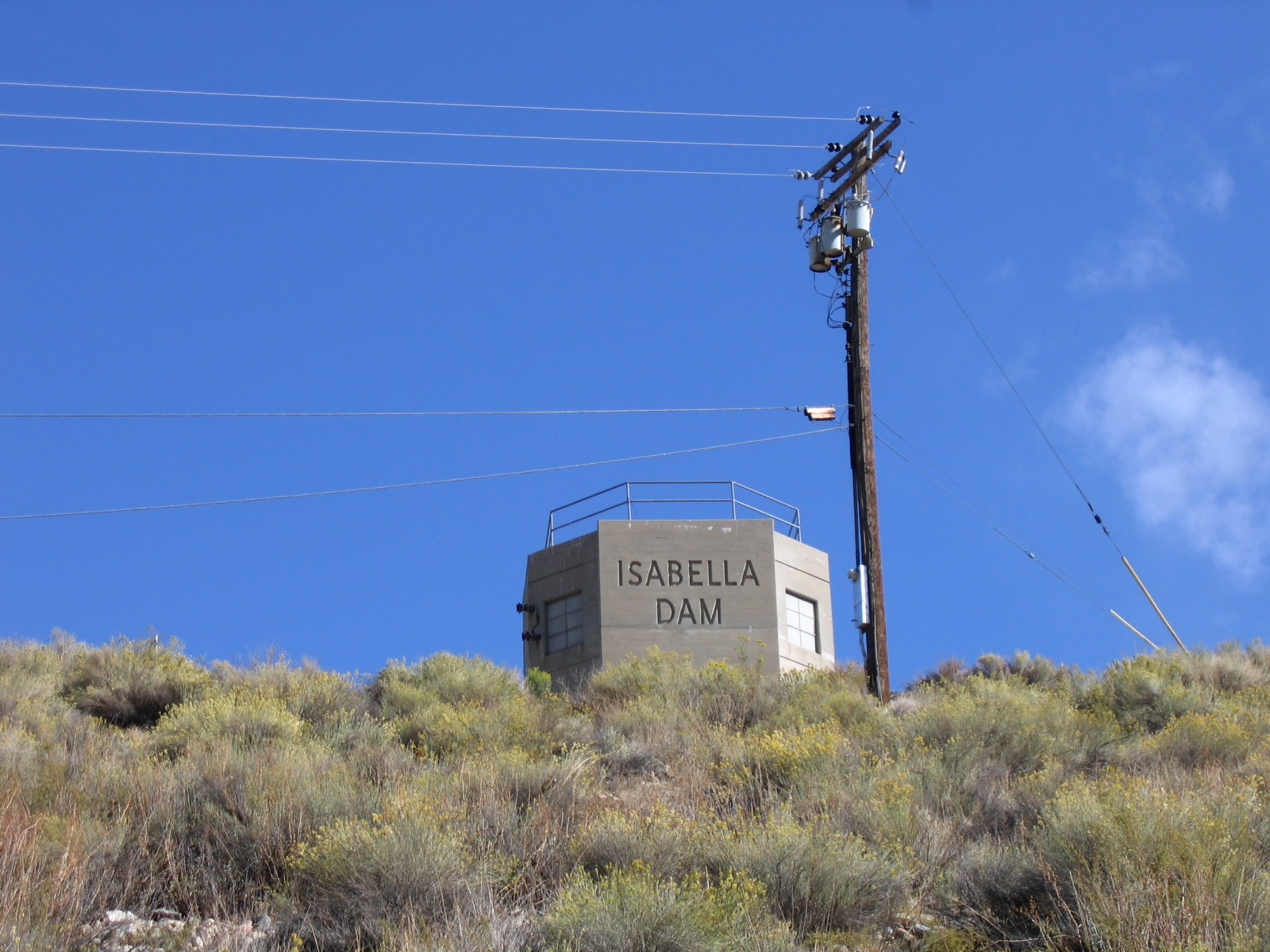
|
This suite of photos shows Isabella Dam at the Borel spillway. Authorized in 1948 and completed in March 1953, Isabella Dam holds back water from the Kern River. This project was built to protect against downstream flooding, but it has ancillary uses for hydroelectric power and water supply for urban and agricultural use in the Central Valley. The intake tower has the words "Isabella Dam" inscribed into it. The last photo shows the outfall from the dam, which leads into the Borel Canal. Photos taken 10/08/06. |
|
|
|
|
|
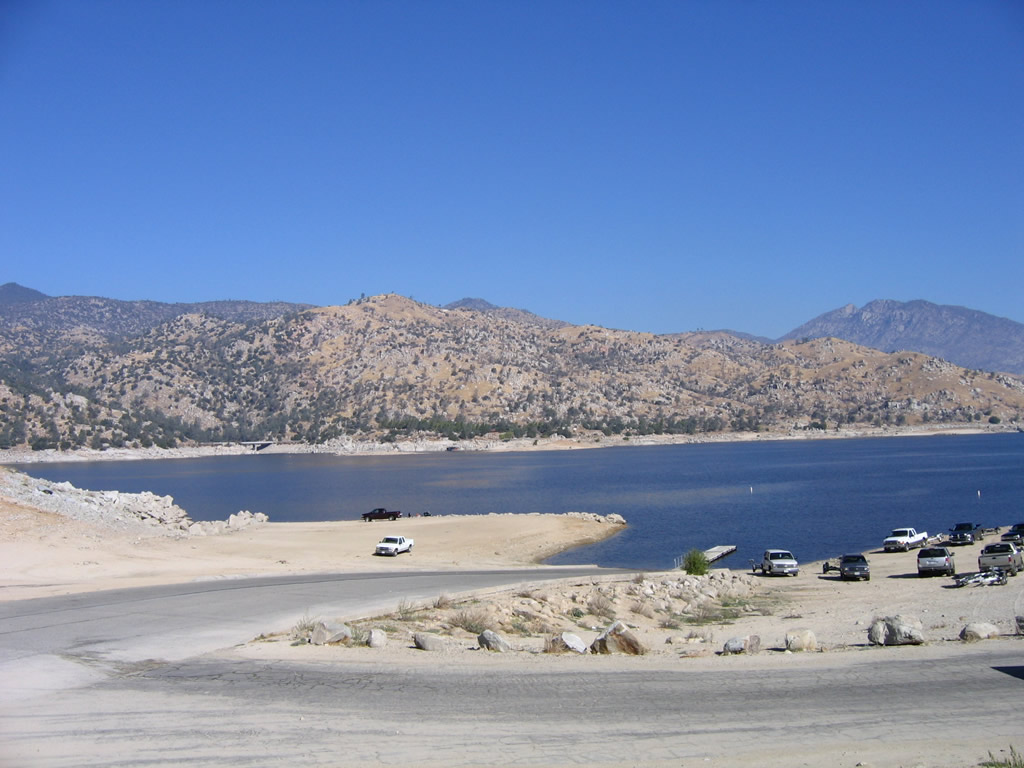
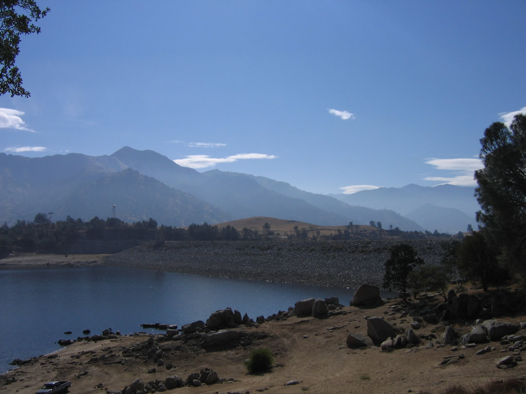
|
These photos look from the dam area onto Lake Isabella. A boat launch facility is located near the visitors center off of California 155. Photos taken 10/08/06. |
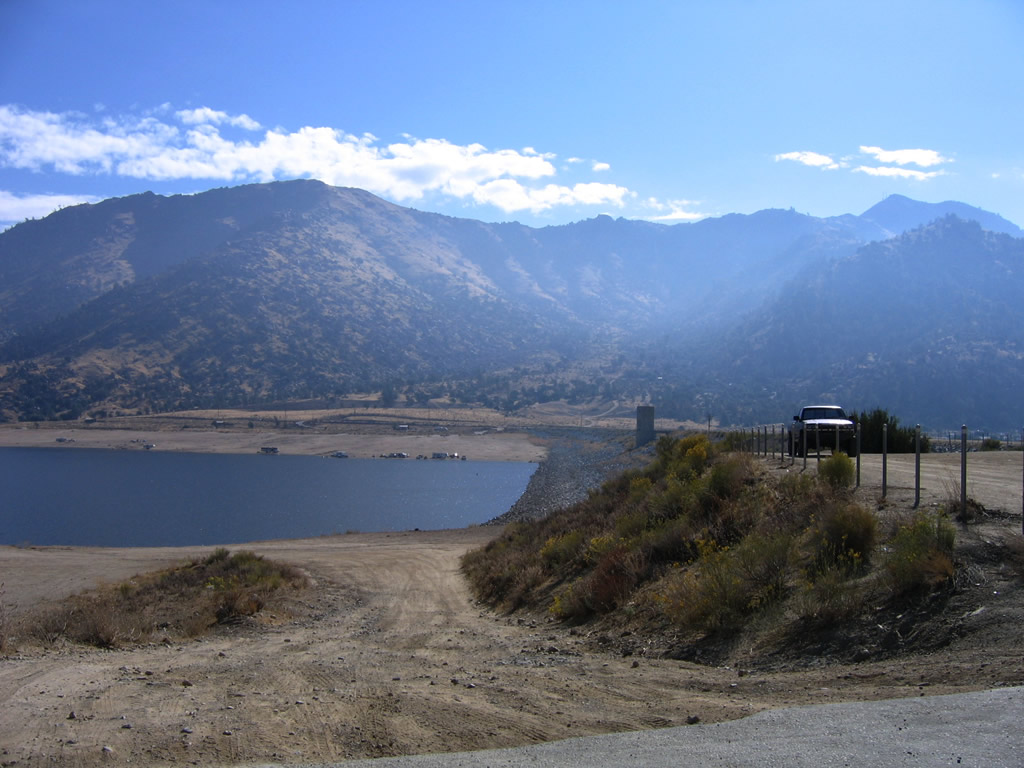
|
This view looks east from the California 155 Vista Point toward the main Isabella Dam. This dam holds back water that emerges in the Kern River on the south side of the dam. Photo taken 10/08/06. |
Page Updated September 30, 2009.