

California 74 West
| California 74 west | |
|---|---|
 |
California 74 curves southwest as it passes by the Coachella Valley Vista Point at the top of Seven Level Hill just south of Palm Desert. From here, California 74 will travel west toward a rendezvous with California 371 en route to Temecula and California 243 en route to Idyllwild and Banning. Photo taken 06/07/08. |
 |
This view looks west along California 74 as the highway descends from Mountain Center to Valle Vista and Hemet. To the south of the highway is the wide valley that ferries the South Fork of the San Jacinto River through it. Photo taken 06/07/08. |
 |
Now within the city of Lake Elsinore after the Interstate 15 interchange, westbound California 74 approaches Jay Street as it skirts the north shore of Lake Elsinore. Photo taken 04/18/04. |
 |
The picture shows the traffic signal for Lincoln Street in Lake Elsinore. Photo taken 04/18/04. |
 |
Here, California 74 west turns south along Grand Avenue as it approaches it climb up the mountains. Photo taken 04/18/04. |
 |
At this intersection, Grand Avenue continues south toward Lakeland Village and Wildomar, while California 74 turns west toward the Elsinore Mountains. Photo taken 04/18/04. |
 |
California 74 through the Cleveland National Forest is known as the California Wildland Firefighters Highway. Photo taken 04/18/04. |
 |
Westbound California 74 as it begins to climb up Cariso Grade. Photo taken 04/18/04. |
 |
California 74 clings to the side of the grade as it winds its way upslope. Photo taken 04/18/04. |
 |
Lake Elsinore lays at the foot of the Cariso Grade, as seen on the switchbacks as westbound California 74 actually heads north briefly. Photo taken 04/18/04. |
 |
At the top of the switchbacks, California 74 approaches Killen Trail/Old Main Divide. From here, California 74 continues west through the forest en route to San Juan Capistrano. Photo taken 04/18/04. |
 |
On the other side of the Cleveland National Forest, California 74 passes by Antonio Parkway (which heads north to Ladera Ranch) and enters San Juan Capistrano. Photo taken 05/31/04. |
 |
Once in San Juan Capistrano, California 74 passes several signalized intersections before it approaches Interstate 5. This particular sign is located just prior to the La Novia Avenue traffic signal. Due to the density of homes here, speed limit laws are strictly enforced. Photo taken 05/31/04. |
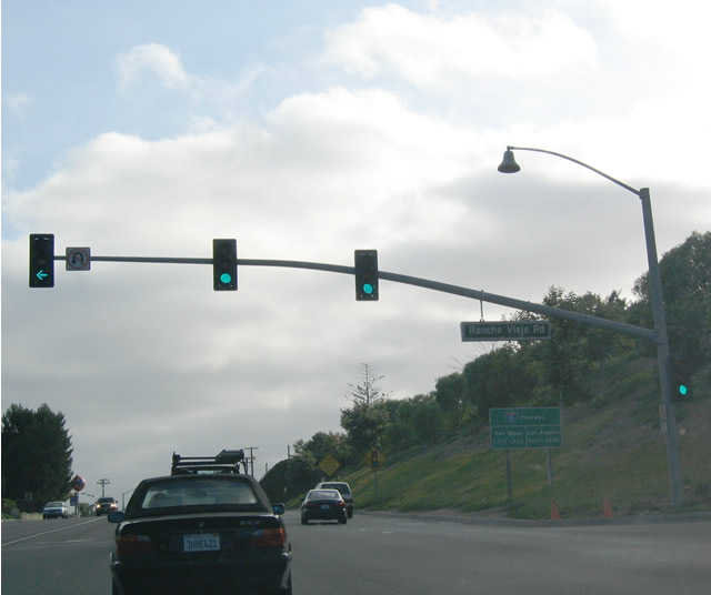 |
Westbound California 74 (Ortega Highway) reaches Rancho Viejo Road in San Juan Capistrano. Interstate 5 is just ahead. Photo taken 05/31/04. |


Page Updated October 17, 2012.
|
About Contact Glossary |
In The News Testimonials Interstate Guide |
Social Media:
 |
|
© 2000-23 AARoads.com | All Rights Reserved | Privacy Policy / Terms of Use
|
||