
California 32
California 32 begins in Orland at its junction with Interstate 5, and travels due east through Hamilton City (where it meets California 45) into Chico, where it meets California 99. From there, California 32 turns northeast toward Chester, connecting to California 36 and California 89 southeast of Mill Creek near Lassen Volcanic National Park.
| California 32 east | |||
|---|---|---|---|
 |
 |
 |
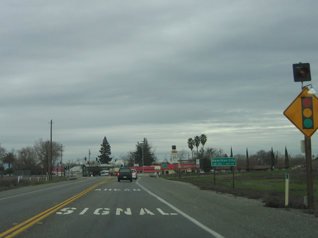
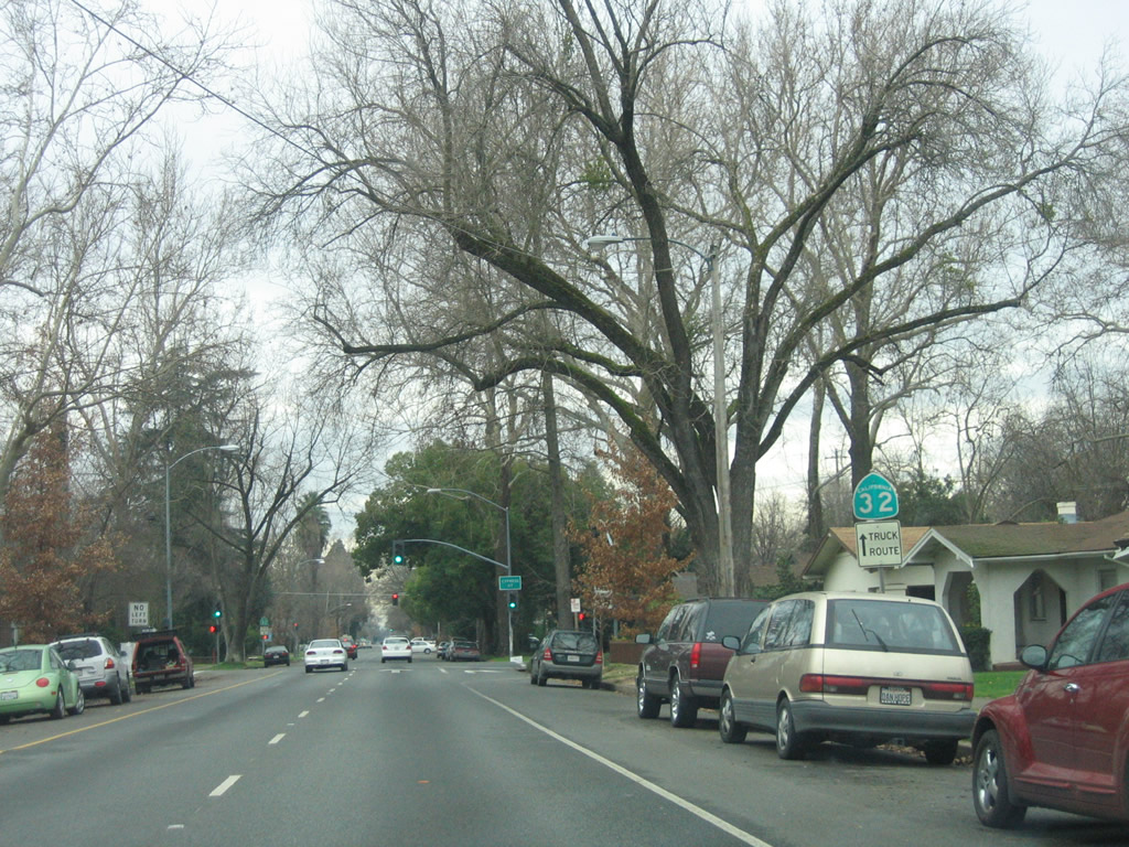
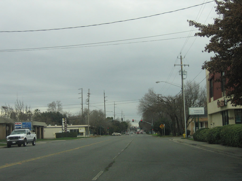
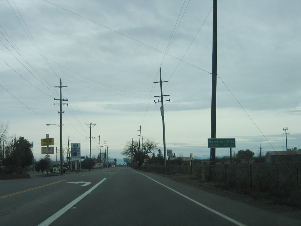
Eastbound California 32 approaches California 45 in Hamilton City, an unincorporated community of Glenn County. California 45 travels south to Colusa and Knights Landing. California 32 proceeds east into Chico. Photos taken 01/15/06. |
 |
 |
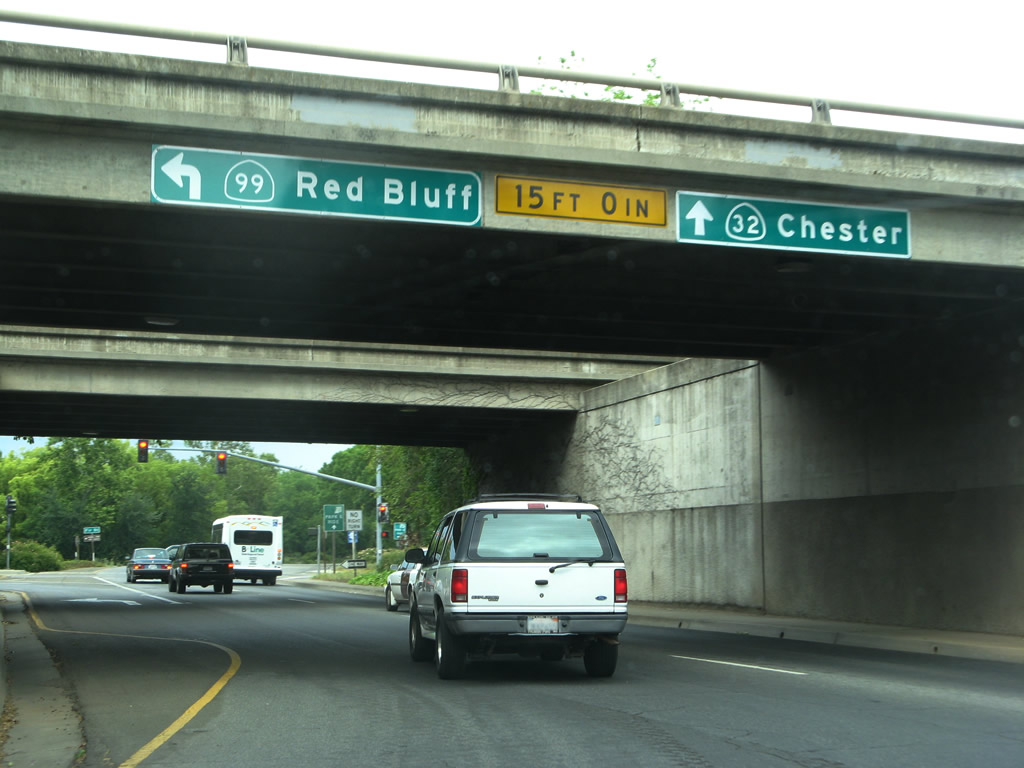
Now in Chico and passing through the California 99 interchange, eastbound California 32 enters the rotary interchange and approaches the left turn to California 99 north to Red Bluff and Redding. Continue straight ahead for California 32 northeast to Chester. Photos taken 05/24/08 and 01/20/03. |
 |
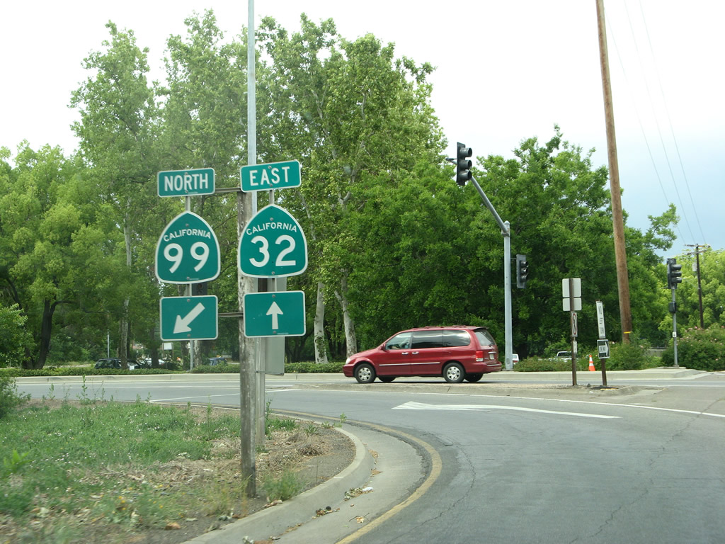 |
Turn left here for California 99 north to Red Bluff and Redding. Stay right for California 32 east to Chester. A pair of trailblazers is posted on the left side of the road next to the rotary interchange turnoff. Photos taken 05/24/08. |
| California 32 west | ||
|---|---|---|
 |
 |
Westbound California 32 passes under California 99 in Chico. This interchange is unusual in that California 32 is structured around a traffic circle (rotary interchange), with all the ramps to and from the California 99 freeway feeding onto the surface street via the ramps. Stay left for the connection to California 99 south to Oroville, Yuba City-Marysville, and Sacramento. These signs were changed between 2006 and 2008. Photos taken 05/24/08 and 01/15/06. |
 |
After passing under the California 99 overpass, traffic opting for California 99 southbound must make a left turn and continue around the circle interchange. Meanwhile, westbound California 32 continues straight ahead toward downtown Chico, Hamilton City, and Orland. Photo taken 05/24/08. | |
 |
A California 32 reassurance shield is posted a bit further west of the California 99 interchange along westbound Eighth Street. Photo taken 05/24/08. | |
 |
Another California 32 west reassurance shield is posted along Eighth Street just before the Cypress Street intersection (next traffic signal). Photo taken 01/15/06. | |
 |
Westbound California 32 (Eighth Street) meets Pine Street at this traffic signal. Photo taken 01/15/06. | |
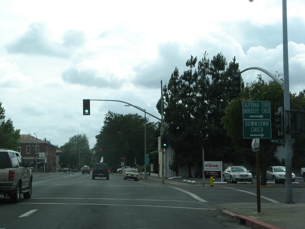 |
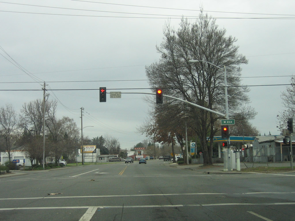
A few blocks later, westbound California 32 (Eighth Street) meets California 99 Business (Main Street) north. The next traffic signal (one block ahead) is California 99 Business (Broadway Street) south at this traffic signal. Photo taken 01/15/06. | |
 |
California 32 continues west along one-way Eighth Street in western Chico. Photo taken 01/15/06. | |
 |
Westbound California 32 (Eighth Street) crosses over the railroad (at-grade) and will soon turn right onto Walnut Street. Photo taken 01/15/06. | |
 |
A single guide sign advises that California 32 turns from Eighth Street onto Walnut Street. Watch for two-way traffic to resume ahead. Photo taken 01/15/06. | |
 |
California 32 proceeds north on Walnut Street for a while, then prepares to leave the urban area. Photo taken 01/15/06. | |
 |
Westbound California 32 (Walnut Street) meets Second Street at this traffic signal. Photo taken 01/15/06. | |
 |
This mileage sign along California 32 provides the distance to Hamilton City (California 45, ten miles) and Orland (Interstate 5 and U.S. 99W, 19 miles). Photo taken 01/15/06. | |
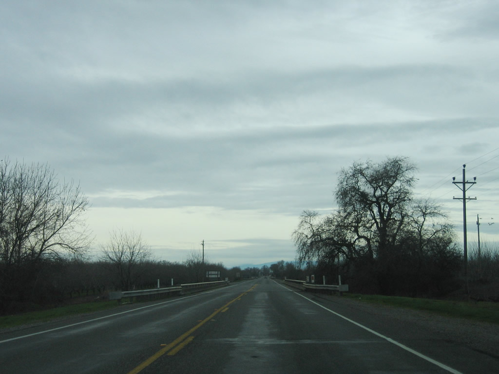 |
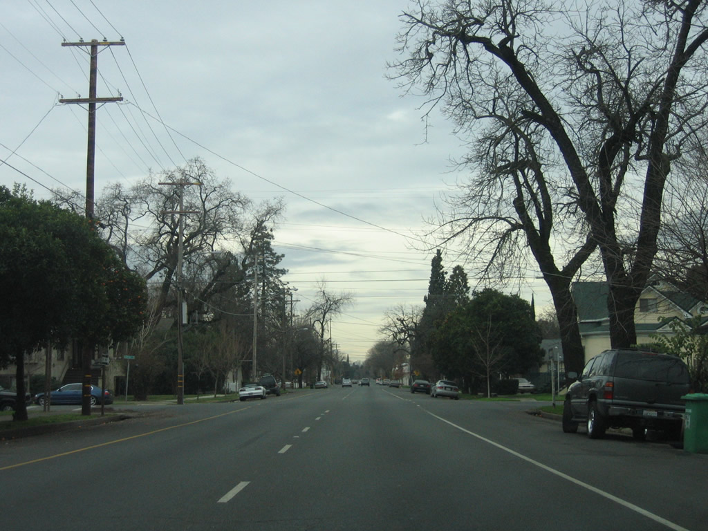
The characteristics of California 32 change significantly upon leaving the Chico urbanized area. Passing through rural farms, orchards, and ranches, California 32 becomes a two-lane, rural highway. Photo taken 01/15/06. | |
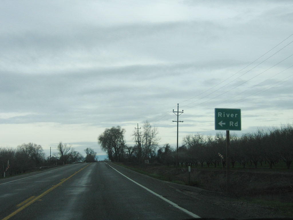 |
Turn left on River Road to Bidwell Sacramento River State Park, a popular area for fishing and floating. Photo taken 01/15/06. | |
 |
California 32 passes over the Sacramento River and enters Glenn County. Photo taken 01/15/06. | |
 |
Soon after crossing the river, California 32 enters Hamilton City, an unincorporated community of Glenn County with a population of 1,759 as of the 2010 Census. Photo taken 01/15/06. | |
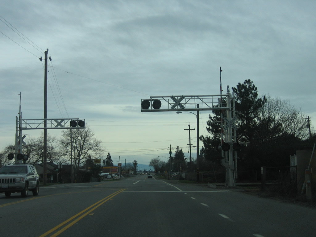 |
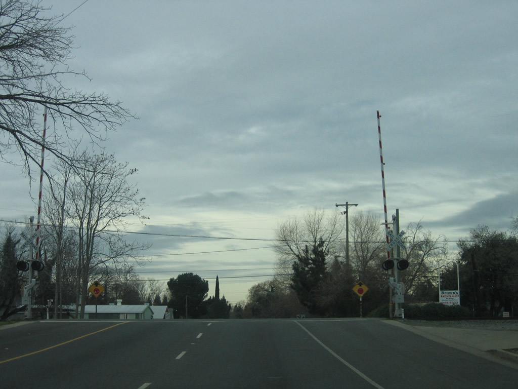
A railroad passes through Hamilton City. Photo taken 01/15/06. | |
 |
Near the west end of Hamilton City, westbound California 32 meets California 45 at this traffic signal. California 45 travels south from Hamilton City to Knights Landing, where it meets California 113 (Old U.S. 40 Alternate) and comes to its end. Photo taken 01/15/06. | |
 |
A mileage sign after the California 45 intersection provides the distance to Orland (ten miles), Willows (26 miles), and Red Bluff (42 miles). Photo taken 01/15/06. | |
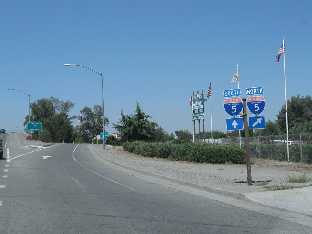 |
Skipping ahead to Orland, westbound California 32 (Newville Road) approaches its western terminus at Interstate 5 at Exit 619. From this interchange, Interstate 5 travels north to Red Bluff, Redding, and Yreka (next right). The second right (loop ramp) links to Interstate 5 south to Williams, Woodland, Sacramento, and Los Angeles. Photo taken 08/02/11. | |
 |
The interchange between California 32 and Interstate 5 serves as the western terminus of California 32. The road, however, continues west as Newville Road (Glenn County 200) en route to Black Butte Lake and Newville. Photo taken 08/02/11. | |
| California 32 scenes | ||
|---|---|---|
 |
Traveling counterclockwise through the rotary interchange between California 32 and California in Chico, this sign is posted between 8th Street (westbound California 32) and 9th Street (eastbound California 32) on the frontage road between the California 99 south off-ramp and California 99 south on-ramp. Turn left for California 32 east to Chester or continue straight ahead for California 99 south to Oroville, Marysville-Yuba City, and Sacramento. Photo taken 05/24/10. | |
 |
As the left lane continues counterclockwise through the rotary interchange and merge onto California 32 east, the right lanes continue on to California 99 south. Photo taken 05/24/10. | |

Page Updated December 17, 2011.
|
About Contact Glossary |
In The News Testimonials Interstate Guide |
Social Media:
 |
|
© 2000-23 AARoads.com | All Rights Reserved | Privacy Policy / Terms of Use
|
||