| California 29 south |
|
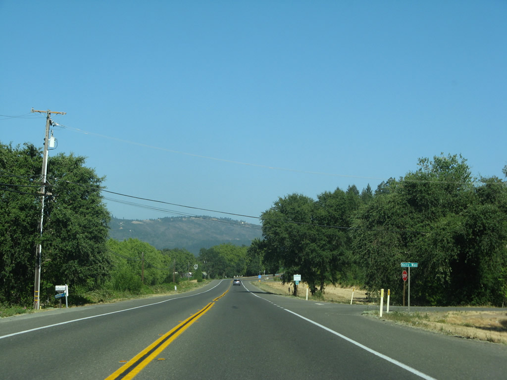
This California 29 south reassurance shield is posted after the intersection with Silverado Trail just north of downtown Calistoga. Photo taken 07/07/07. |
|
Calistoga is known not only for location at the north end of Napa Valley but also for its spas, including mud baths and thermal pools. A geyser, known as California's Old Faithful, is located north of Calistoga along Tubbs Lane. Photo taken 07/07/07. |
|
Southbound California 29 enters downtown Calistoga. The city of Calistoga (population 5,190 as of the 2000 Census) sits at an elevation of 348 feet at the base of Mt. St. Helena, an inactive volcano. Calistoga was incorporated on January 6, 1886, and it serves as the gateway into Napa Valley from the north and into Lake County from the south. California 128 also travels northwest from Calistoga to meet U.S. 101 in Geyserville in Sonoma County. Calistoga is also part of the internationally known grape growing region of Napa Valley. Ample winter rains and hot, dry summers are perfect for grape growing, resulting in multiple vineyards and wineries along California 29 between Calistoga and Napa. Photo taken 07/07/07. |
|
Downtown Calistoga features a historic ambience that can be traced back to its founding in the 1840s. Today many of these buildings hold quaint shops, restaurants, and services available to visitors. Toward the south end of town, California 29 crosses the Napa River on a low bridge (quiet a bit different than the high bridge that carries California 29 over the Napa River near the city of Napa). Photo taken 07/07/07. |
|
Approaching the south end of town, southbound California 29 (Lincoln Avenue) approaches California 128/Foothill Boulevard. Photo taken 07/07/07. |
|
Turn left to follow California 29 south and California 128 east to St. Helena. Turn right to follow California 128 northwest to Geyserville, Cloverdale, and ultimately Navarro Point (California 1 at the coast). Photo taken 07/07/07. |
|
California 29 turns left to continue southeast toward St. Helena, Yountville, and Napa. Trailblazers for both California 29 and 128 stand here. Photo taken 07/07/07. |
| California 29 south & 128 east |
|
One lane carries California 29 south & 128 east from Calistoga toward St. Helena. Photo taken 07/07/07. |
|
A pair of California 29 south and California 128 east reassurance shields are posted as the routes leave Calistoga. Photo taken 07/07/07. |
|
Between Calistoga and St. Helena, California 29 south and California 128 east pass through rural areas, including several wineries. Photo taken 07/07/07. |
|
This mileage sign provides the distance to St. Helena (seven miles), Napa (county seat 26 miles), and San Francisco (73 miles via California 29, California 121, California 37, and U.S. 101 (Redwood Highway)). Photo taken 07/07/07. |
|
California 29 south and California 128 east meet Diamond Mountain Road at this intersection. Photo taken 07/07/07. |
|
Southbound California 29 and eastbound California 128 meet Quail Mountain Lane at this intersection. Photo taken 07/07/07. |
|
Next up along southbound California 29 and eastbound California 128 is the intersection with Dunaweal Lane and Scott Way. Photo taken 07/07/07. |
|
|
|
A vineyard lines the east side of the highway, while rolling hills line up on the west side of the valley. Most significant roads that travel east from California 29-128 connect to Silverado Trail, which stays on the east bank of the Napa River. Photos taken 07/07/07. |
|
Southbound California 29 and eastbound California 128 approach Maple Lane. Photo taken 07/07/07. |
|
A pair of California 29 south and California 128 east reassurance shields are posted shortly thereafter. Photo taken 07/07/07. |
|
Nothing but vineyards as far as the eye can see in Napa Valley. Photo taken 07/07/07. |
|
Southbound California 29 and eastbound California 128 approach Peterson Drive. Photo taken 07/07/07. |
|
The next major intersection along southbound California 29 and eastbound California 128 is with Larkmead Lane. Turn right at this intersection to Bothe-Napa Valley State Park. Camping, hiking, and day-use activities are available at the park, including a swimming pool during the summer. Photo taken 07/07/07. |
|
Southbound California 29 and eastbound California 128 meets Larkmead Lane and the entrance to Bothe-Napa Valley State Park. Photo taken 07/07/07. |
|
The next major intersection along southbound California 29 and eastbound California 128 is with Big Tree Road. A Cal Fire station is located near here. Photo taken 07/07/07. |
|
Southbound California 29 and eastbound California 128 reach the entrance to Bale Grist Mill State Historic Park, which is the site of a water-powered grist mill that was built in 1846 and remained in operation until the early 1900s. A path connects the mill with the campgrounds of nearby Bothe-Napa Valley State Park. Photo taken 07/07/07. |
|
Continuing southeast through Napa Valley, California 29 and California 128 approach Ehlers Lane. Photo taken 07/07/07. |
|
Coming to the outskirts of St. Helena, California 29 and California 128 pass by the St. Helena Marketplace (outlet mall). Photo taken 07/07/07. |
|
Southbound California 29 and eastbound California 128 approach Lodi Lane. Photo taken 07/07/07. |
|
A pair of California 29 south and California 128 east reassurance shields are posted shortly thereafter. Photo taken 07/07/07. |
|
A wide palm, tall eucalyptus tree, and oleander bush (white flowers) all provide variety to the landscape along California 29-128 south. Photo taken 07/07/07. |
|
Southbound California 29 and eastbound California 128 meet Deer Park Road. This highway travels northeast from California 29-128 to Deer Park, Angwin, and Pope Valley. In Pope Valley, Deer Park Road connects with Pope Valley Road, which travels north to Butts Canyon Road en route to Middletown in Lake County. Photo taken 07/07/07. |
|
Use Deer Park Road east to Silverado Trail and Pacific Union College. Photo taken 07/07/07. |
|
Immediately thereafter, southbound California 29-128 enters the city of St. Helena, "The Heart of Napa Valley." Home to 5,950 people as of the 2000 Census, St. Helena incorporated on March 24, 1876, and reincorporated on May 14, 1889. Like the rest of northern Napa Valley, St. Helena sees about 35 inches of rainfall per year, most during the fall-winter-spring months. Summers are hot and dry, with temperatures reaching over 100 degrees Fahrenheit at their peak. Photo taken 07/07/07. |
|
|
Trees form a canopy over the state route near the famous Beringer Winery. Tours are available daily, along with wine tasting. This historical winery has been in operation since the 1870s and features caves bored into the hills behind the winery for aging wine barrels. Photos taken 07/07/07. |
|
Redwood trees line both sides of California 29-128 in St. Helena. Photo taken 07/07/07. |
|
Southbound California 29 and eastbound California 128 meet Madrona Avenue at this traffic signal. Use Madrona Avenue west to Spring Mountain Road, which leads to Santa Rosa via Calistoga Road. Photo taken 07/07/07. |
|
Now in downtown St. Helena, southbound California 29 and eastbound California 128 meet Adams Street at this traffic signal. Photo taken 07/07/07. |
|
Now in downtown St. Helena, southbound California 29 and eastbound California 128 meet Pope Street at this traffic signal. Pope Street travels northeast to Silverado Trail near Stonesbridge Park. From downtown St. Helena leading south toward Yountville and Napa, look for wineries on both sides of California 29. Photo taken 07/07/07. |
|
|
Some of the oldest bridges still in use on the California state route system are found in Napa Valley. Two of these bridges in the city limits of St. Helena carry California 29-128 over Sulphur Creek and York Creek (built in 1910 and 1902, respectively). Photos taken 07/07/07. |
|
The Napa Valley Wine Train, which follows a railroad alignment parallel to California 29 between St. Helena and Napa, comes into view on the east side of the state route. Additionally, a set of Pacific Gas & Electric power lines cross over California 29-128 at this point. Photo taken 07/07/07. |
|
Southbound California 29 and eastbound California 128 approach Vintage Avenue. The state routes leave St. Helena at this point. Photo taken 07/07/07. |
|
Southbound California 29 and eastbound California 128 meet Inglewood Avenue. Photo taken 07/07/07. |
|
Continuing southeast, California 29 and California 128 approach Stice Lane. Photo taken 07/07/07. |
|
Near Whitehall Lane, California 29 and California 128 cross over the railroad tracks in the unincorporated community of Zinfandel. Photo taken 07/07/07. |
|
This view looks south on both California 29-128 and the Napa Valley railroad tracks. Photo taken 07/07/07. |
|
The next intersection along California 29 and California 128 south is with Galleron Road. Photo taken 07/07/07. |
|
This view looks east from California 29 and California 128 toward a winery. Photo taken 07/07/07. |
|
|
These California 29 and California 128 shields are posted in the unincorporated community of Rutherford just before the routes divide. Photos taken 07/07/07 and by Trevor Carrier (Summer 2002). |
|
California 29 and California 128 enter the unincorporated community of Rutherford. The routes divide ahead. Photo taken 07/07/07. |
|
California 128 travels east across Napa Valley through the hills near Lake Berryessa, emerging in the Central Valley near Winters. The highway has plenty of winding curves and switchbacks, and as such is not a recommended route for trucks and large vehicles. Photo taken 07/07/07. |
|
California 29 south and California 128 east divide here in Rutherford. California 128 continues east from here, headed toward Lake Berryessa and Winters (Interstate 505). California 128 is planned to continue to Davis, but that segment remains unconstructed. Meanwhile, California 29 continues south toward Yountville (see previous photo for mileage sign immediately after this intersection). Photo taken 07/07/07. |
| California 29 south |
|
Entering Yountville, California 29 is close to the heart of Napa Valley. Wineries and vineyards are located on either side of California 29 in and around Yountville. The Napa River closely parallels California 29 throughout the Napa Valley, and the Napa Valley Wine Train is also located parallel to the highway. Photo taken by Pete Sison on 08/10/01. |
|
Southbound California 29 reaches Exit 18A, First Street, which leads into downtown Napa. The next exit is for northbound California 121 (Exit 16). Photo taken by Pete Sison on 08/10/01. |
|
The next exit along southbound California 29 is Exit 16, California 121 (Imola Avenue) in Napa. California 121 and California 29 continue southbound from here along the freeway. Photo taken by Pete Sison on 08/10/01. |
| California 29 & 121 south |
|
Shortly after California 121 south merges onto California 29, an end freeway sign is posted. This is one of the major bottlenecks of the area: the confluence of three state routes (California 12, 29, and 121) governed by a traffic signal in between two segments that have freeway characteristics (Napa bypass to the north and George F. Butler Bridge to the southeast). Photo taken 05/26/06. |
|
A small California 12 shield is posted on southbound California 29-121 as the freeway slows down in anticipation of the traffic signal. Photo taken 05/26/06. |
|
Oddly, this sign says "California 121 Sonoma," but California 121 does not go to Sonoma - California 37 does. A more appropriate sign would show California 121 south San Francisco and California 12 west Sonoma/Santa Rosa. Photo taken 05/26/06. |
|
This sign advises that California 12 east is straight ahead and California 12 west is a right turn. It is also designed to inform motorists that the control city for California 29 south is Vallejo. Again, note the placement of a California 121 next to the destination city of Sonoma. Photo taken 05/26/06. |
|
California 29 and California 121 split at this traffic signal; California 12 east and California 29 south continue straight ahead. At this intersection, California 12 leads west along with California 121 south via the Carneros Highway. Meanwhile, eastbound California 12 follows southbound California 29. The routing of California 12, 121, and 29 is intertwined around Napa. Heading southbound, California 29 first picks up California 121 at Exit 16, drops off California 121 at this intersection, picks up California 12 at this intersection, and finally drops off California 12 a few miles south of here. Photo taken 05/26/06. |
| California 12 east & 29 south |
|
A reassurance shield for California 29 south and California 12 east is posted after the Carneros Highway intersection. Photo taken 05/26/06. |
|
The line of eucalyptus trees follow an old alignment of highway that might provide a sense of where the approach was to the old Napa River bridge before the current 1977 bridge was installed. Photo taken 05/26/06. |
|
|
|
Southbound California 29 and eastbound California 12 use the high-level George F. Butler Bridge to cross the Napa River; the bridge was built in 1977. It is odd to have the single signalized intersection with Carneros Highway and yet have freeway-ready segments on either side of the traffic signal. Photo taken 05/26/06. |
|
The next intersection along southbound California 29 and eastbound California 12 is what would be Exit 12: California 221 (Soscol Avenue) north to Napa. Use California 221 north to California 121 en route to Lake Berryessa and California 128. Photo taken 05/26/06. |
|
Prior to the California 221 junction is a right turn off to Soscol Ferry Road. A lone California 221 junction shield is posted for the left turn onto California 221 north (see next photo for close-up). Photo taken 05/26/06. |
|
Eastbound California 12 and southbound California 29 approach their junction with California 221 south of Napa. Photo taken by Trevor Carrier (Summer 2002). |
|
Southbound California 29 and eastbound California 12 meet California 221 at this signalized intersection south of Napa. Shortly thereafter, California 29 and California 12 split. Even though these are both major highways, this intersection is also not an interchange. California 12 leads east to connect with Interstate 80 eastbound and Interstate 680 southbound. Photo taken 05/26/06. |
| California 29 south |
|
After California 12 east departs from California 29 south, one of the next intersections is with Tower Road, followed by South Kelly Road (old alignment) and finally Green Island Road/Paoli Way (shown here). California 29 enters the city of American Canyon. Incorporated in 1992, American Canyon had 9,774 people per the 2000 Census. Photo taken 05/26/06. |
|
Continuing south, California 29 (known as Broadway Street through American Canyon) approaches American Canyon Road. California 29 south serves Vallejo and connects to Interstate 80 (Eastshore Freeway) en route to Oakland. Photo taken 05/26/06. |
|
After leaving American Canyon, southbound California 29 enters the city of Vallejo. Incorporated in 1867, Vallejo is home to 116,760 (2000 Census) and averages about 60 feet. Photo taken 05/26/06. |
|
Southbound California 29 (Sonoma Boulevard) meets Mini Drive at this signalized intersection. Photo taken 05/26/06. |
|
The next traffic signal along southbound California 29 is for Meadows Drive. California 29 has an expressway configuration through this segment. Photo taken 05/26/06. |
|
Southbound California 29 approaches California 37, the east-west freeway across northern Vallejo. With upgrades completed in 2006, the surface section of California 37 near California 29 is now a freeway. Photo taken 05/26/06. |
|
A small freeway entrance shield for California 37 is posted on the right lane of California 29 south. This ramp leads to California 37 west to Mare Island. Photo taken 05/26/06. |
|
Ramps and bridges carry California 37 over California 29. This interchange can be a high-speed interchange for both routes if California 29 is upgraded to freeway standards north of here. Photo taken 05/26/06. |
|
This ramp departs from northbound California 29 and connects to eastbound California 37, which is also signed as to Interstate 80. Through traffic to Interstate 80 west to Oakland should use this exit rather than following California 29 south through downtown Vallejo. Photo taken 05/26/06. |
|
Former California 37 is now signed as "Old Route 37" as shown on the name plate on this traffic signal mast arm. See the northbound photos to see how this intersection was configured before the freeway was completed. Photo taken 05/26/06. |
|
|
Trailblazers for Interstates 780 and 680 posted on California 29 south at Lemon Streetin Vallejo. Lemon Street heads east to meet Curtola Parkway just west of the interchange between Interstate 80 and Interstate 780. Curtola Parkway eastbound becomes Interstate 780 eastbound as the roadway passes under Interstate 80. Photo taken 12/30/01. |
|
Now south of California 37, southbound California 29 reaches Lemon Street south of downtown Vallejo. Photo taken 04/02/04. |
|
After passing by Lemon Street, California 29 approaches its southern terminus. The next major intersection is Magazine Street, which connects California 29 to eastbound Interstate 80; the last turn-off along southbound is the road into the Maritime Academy. Photo taken 04/02/04. |
|
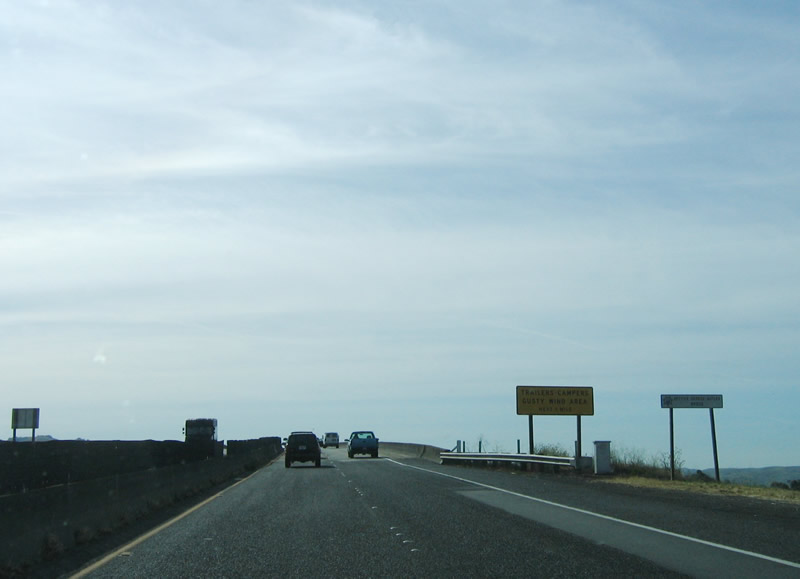
The California Maritime Academy is located on the peninsula to the west of Interstate 80 and east of the Carquinez Strait Lighthouse. Photo taken 04/02/04. |
|
|
California 29 south concludes at Interstate 80. Photos taken 12/30/01. |
Page Updated October 26, 2009.