In Barstow, Business Loop I-15 follows Old U.S. Highway 66-91 between Exits 181 and 184 via L Street and Main Street. Business Loop I-15 continues beyond Exit 184 to end at Interstate 40 Exit 1, about one mile east of the Interstate 15 interchange. As a result, Business Loop I-15 in Barstow's northern terminus is actually at a route other than its parent route. The business route is decently well signed, with some historic U.S. 66 signs found along the business route. The loop was co-designated with San Bernardino County 66/National Trails Highway along Main street. The southern half of the business loop also follows Old U.S. 91, which is not signed alongside Historic U.S. 66.
| Business Loop I-15 north |
|---|
|
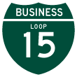
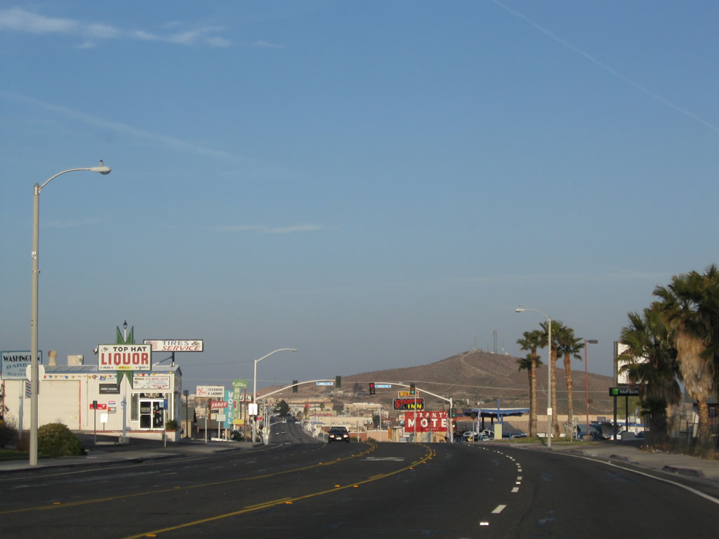
This wide boulevard takes the business loop west from the freeway to the old alignment of U.S. 66-91. Photo taken 03/24/13. |
|
|
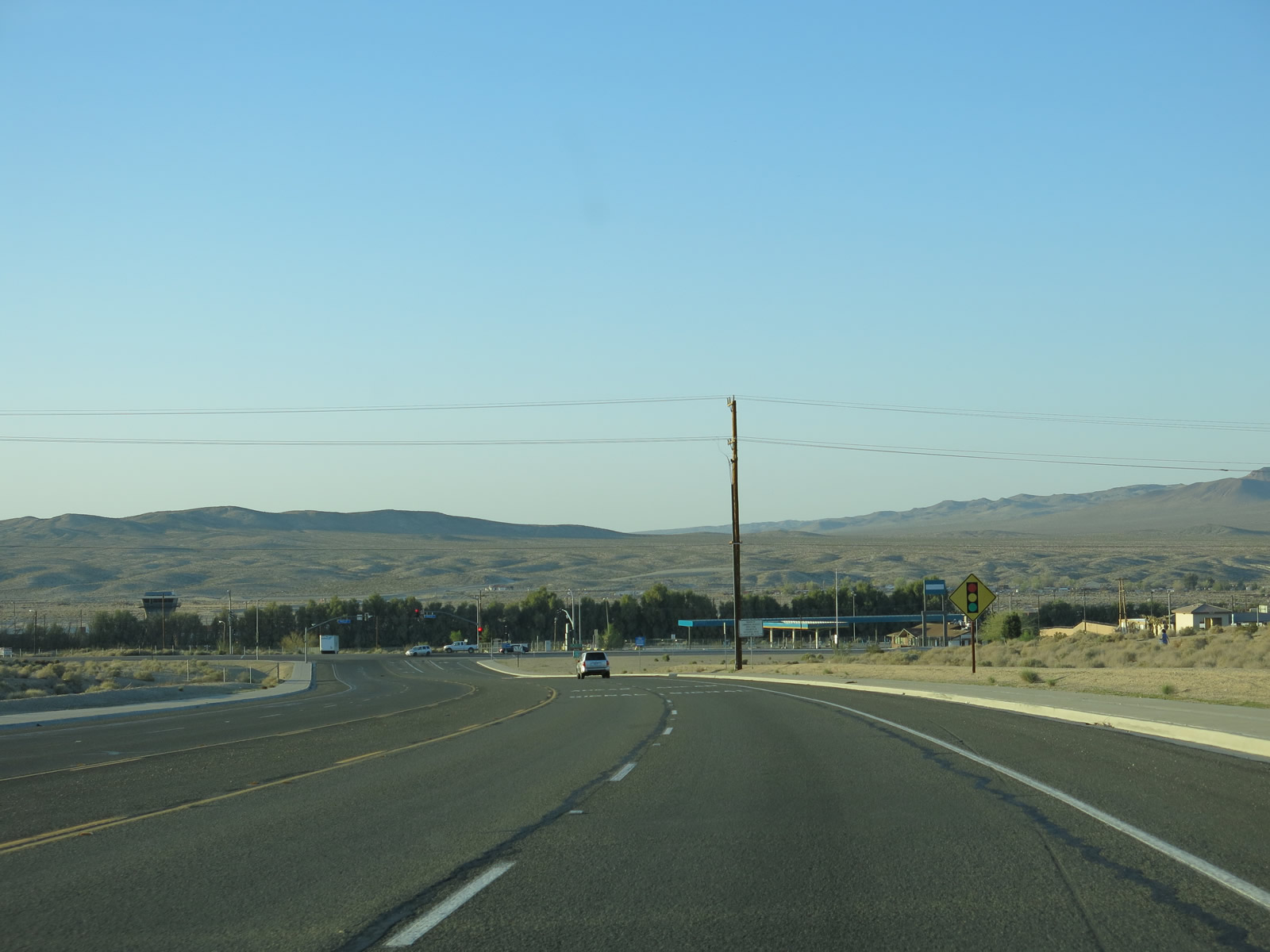
The business loop turns right (north) at this upcoming traffic signal, which is Historic U.S. 66-91 and San Bernardino County 66. The latter designation was officially added to old U.S. 66 in 2011. Business Loop I-15 and Historic U.S. 66-91 head north into downtown Barstow. Photo taken 03/24/13. |
| Business Loop I-15 north & County Road 66 east |
|---|
|
|
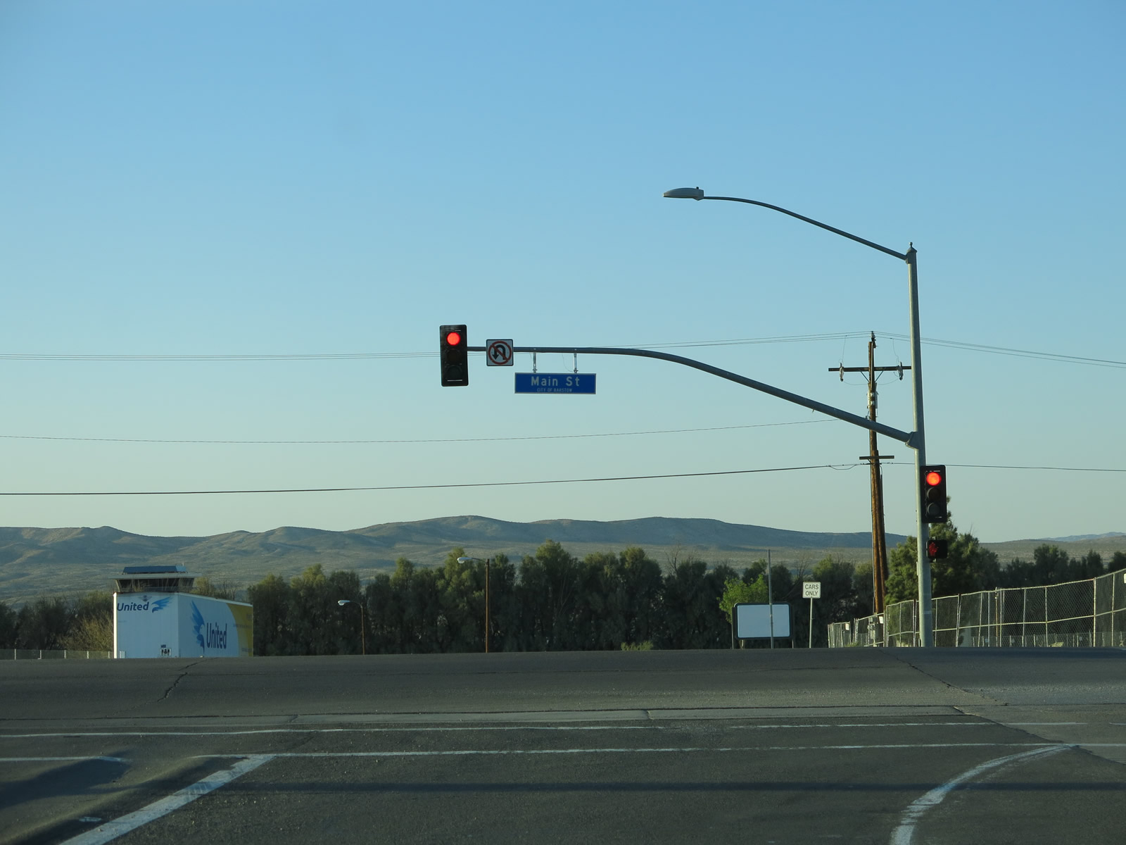
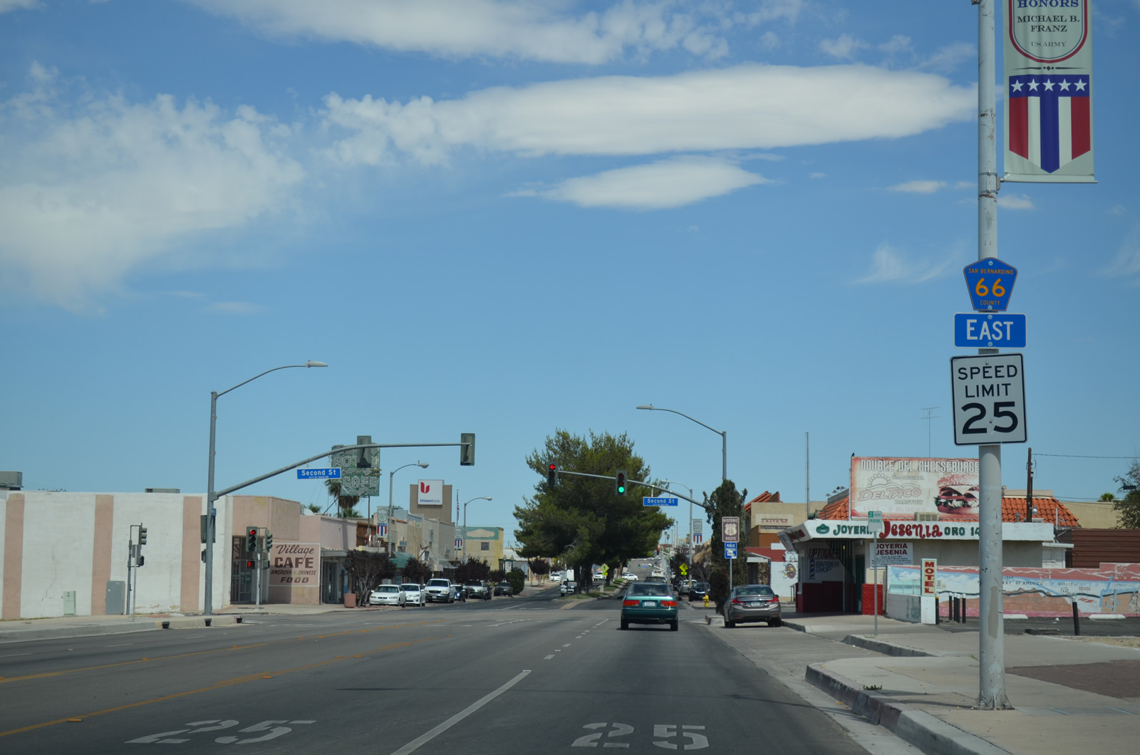
After the L street intersection, we find this San Bernardino County 66 east reassurance shield along Main Street in Barstow. Photos taken 03/24/13. |
|
|
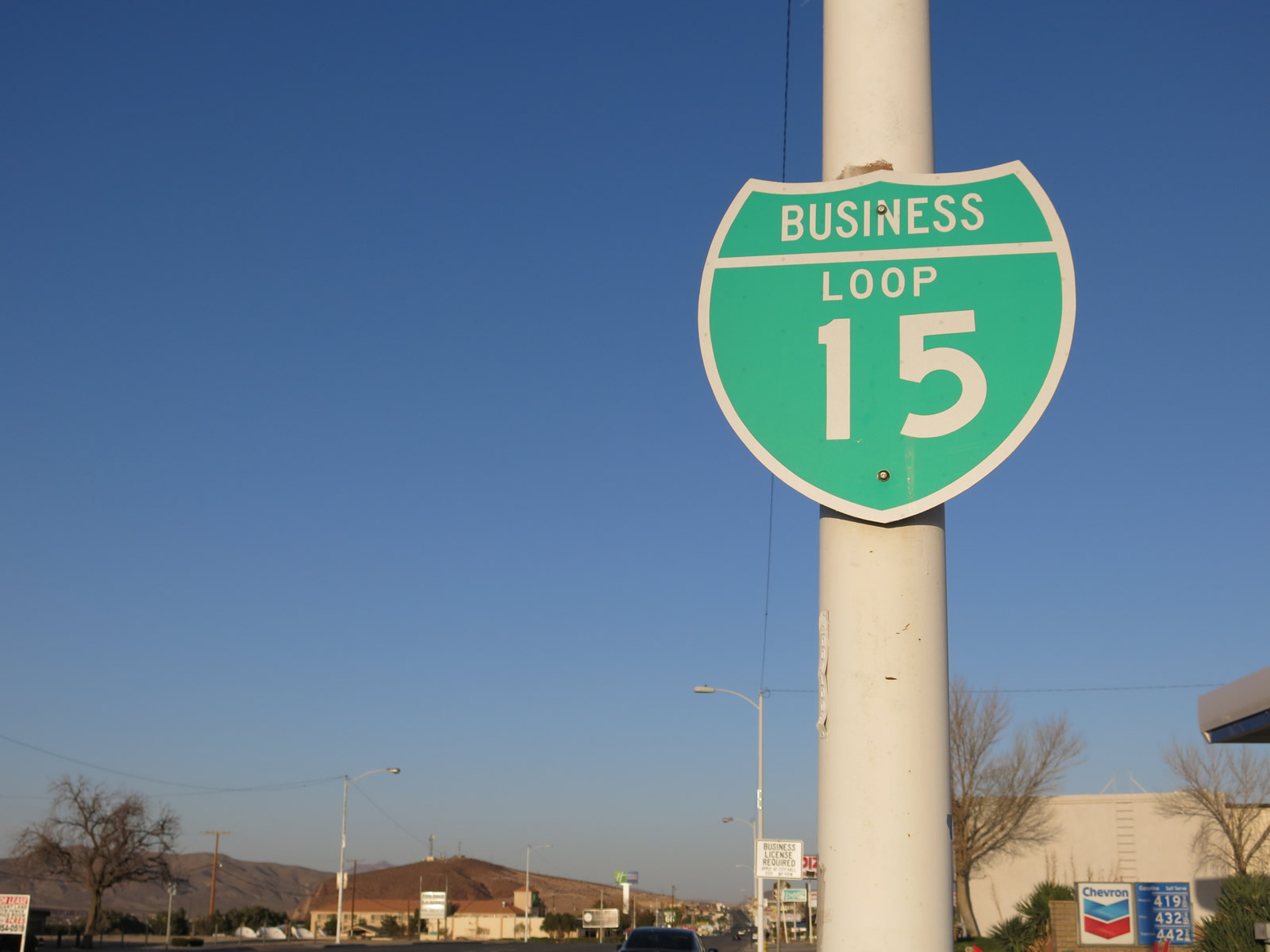
This Business Loop I-15 shield is posted along northeastbound Main Street after the intersection between Historic U.S. 66 (San Bernardino County 66) and L Street. Photos taken 03/24/13. |
|
|
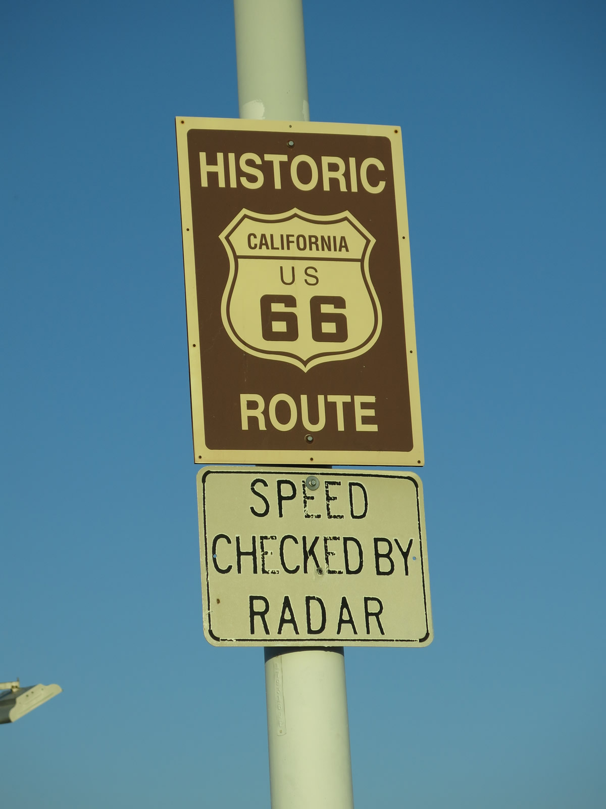
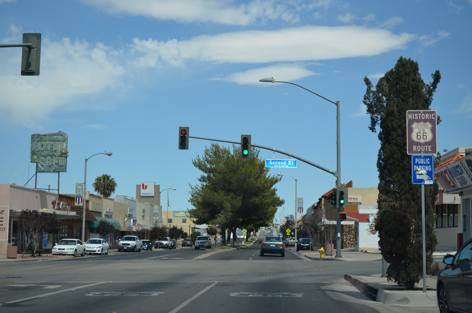
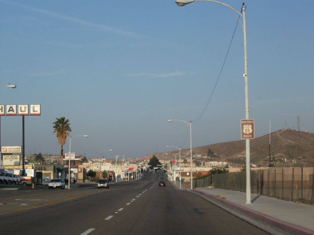
This is the first historic U.S. 66 shield along northbound Business Loop I-15 (Main Street). U.S. 91 is not signed as a historic route in California. Photos taken 03/24/13. |
|
|
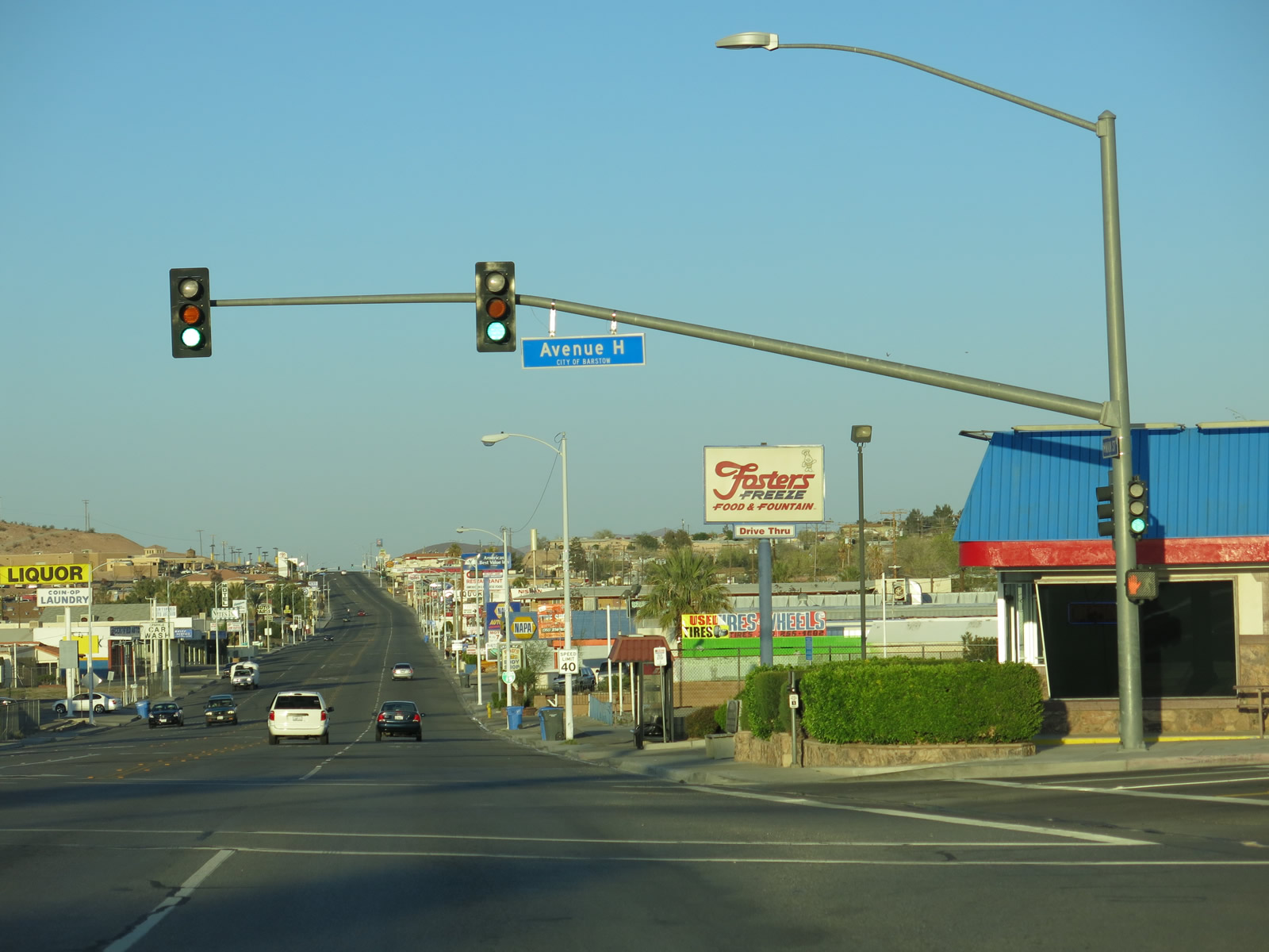
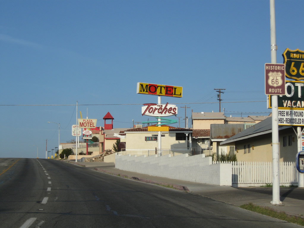
Northbound Business Loop I-15 and eastbound U.S. 66/County Route 66 meets Avenue H in Barstow near the Motel 66. Photos taken 03/24/13. |
|
This Business Loop I-15 shield is posted after the intersection with Avenue H along northbound. Photo taken 07/20/14. |
|
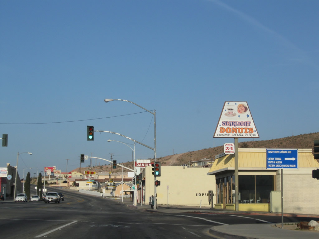
Use Business Loop I-15 and U.S./County Route 66/Main Street to the Amtrak Station, U.S. Route 66 Museum, Harvey House, Greyhound Museum, and Western America Railroad Museum. Photo taken 03/24/13. |
|
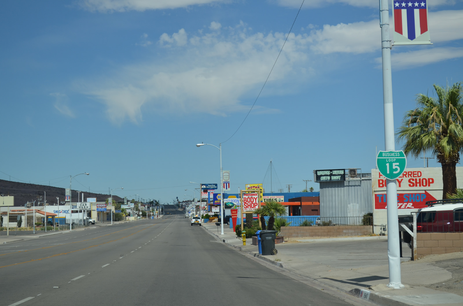
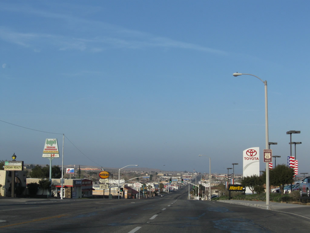
Barstow provides regional services, including the purchase of automobiles as seen in this picture along north/eastbound Main Street (Business Loop I-15 and U.S./County Route 66). Photo taken 07/20/14. |
|
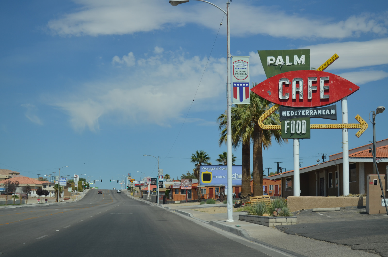
Neon signs line Business Loop I-15 and U.S./County Route 66. Photo taken 07/20/14. |
|
The next traffic signal along Business Loop I-15 and U.S./County Route 66/Main Street is with Avenue A, with downtown Barstow just ahead. Photo taken 03/24/13. |
|
Another Historic U.S. 66 route marker is posted after the Avenue A intersection. Note that U.S. 66, County Route 66, and Business Loop I-15 are rarely signed together on the same post along northbound. Photo taken 03/24/13. |
|
Curving east, this Business Loop I-15 reassurance shield shield is located along Main Street as it approaches downtown Barstow. Photo taken 03/24/13. |
|
At First Avenue, U.S. 91 turns north to cross the railroad tracks and the Mojave River to join former U.S. 466 on the north bank of the river. Business Loop I-15 and U.S. 66, however, will continue straight ahead along Main Street. Photo taken 07/20/14. |
|
We find this County Route 66 east sign along eastbound Main Street between First Avenue and Second Avenue. Photo taken 07/20/14. |
|
A Historic U.S. 66 shield is also posted on northbound Business Loop I-15 between First Avenue and Second Avenue. Photo taken 07/20/14. |
|
This tree-lined median in downtown Barstow greets visitors; the business loop passes through the business district. Note the Historical U.S. 66 shield on the street light pole. Photo taken 03/24/13. |
|
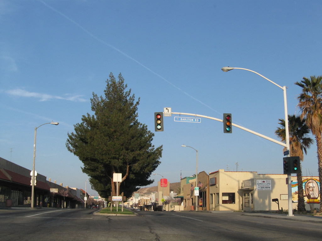
Two blocks lie between Second Avenue and Barstow Road (California 247 south). Photo taken 03/24/13. |
|
Another U.S. 66 route marker is posted along Main Street prior to Barstow Road. Photo taken 07/20/14. |
|
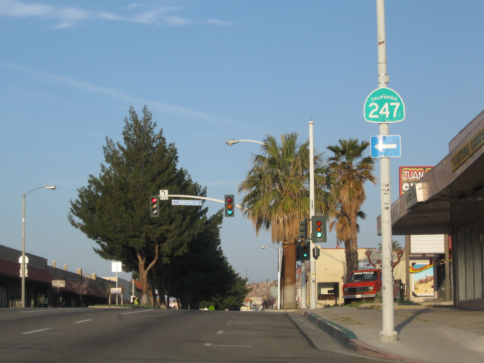
Northbound Business Loop I-15 meets Barstow Road to California 247 south. The state route actually begins at the Interstate 15 interchange with Barstow Road. California 247 travels southeast to Barstow College, then onward to Lucerne Valley, Yucca Valley, and Joshua Tree National Park. Photo taken 07/20/14. |
|
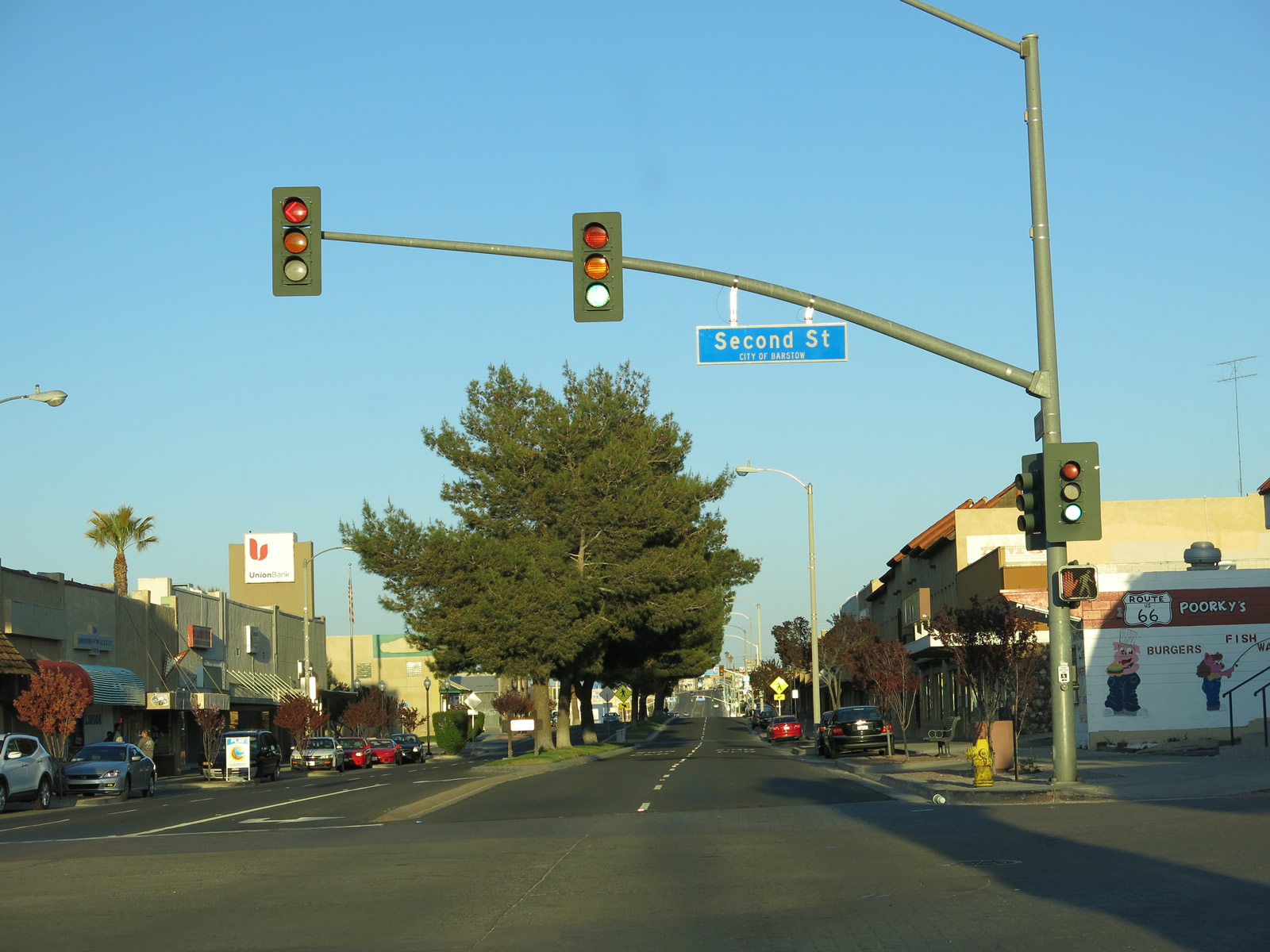
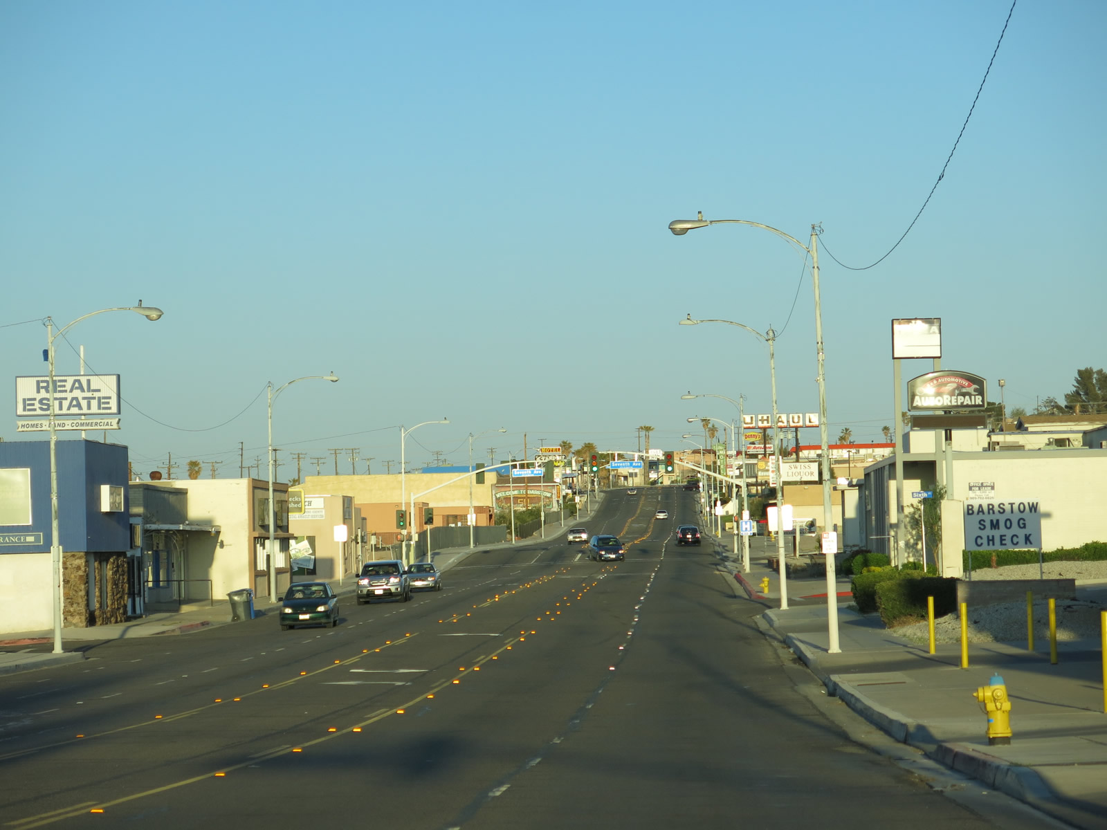
This view looks east along Main Street between Barstow Road and Seventh Avenue (next traffic signal). Photo taken 03/24/13. |
|
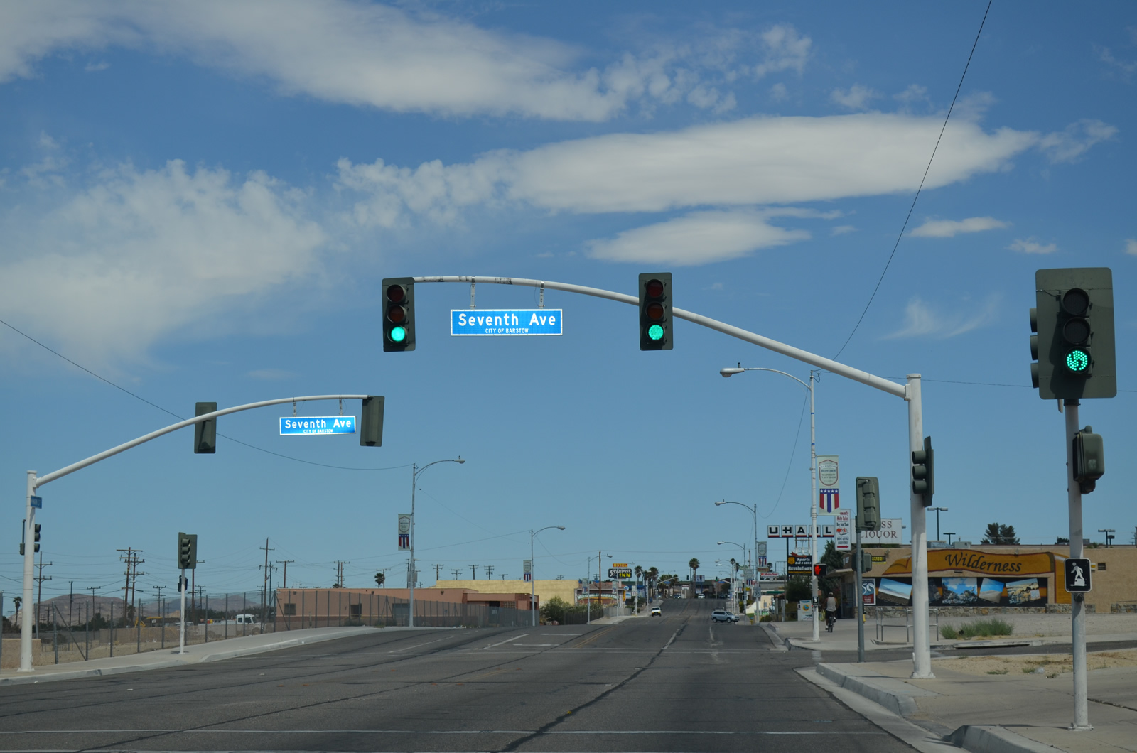
Eastbound Business 15 and Route 66 follow Main Street to this intersection with Seventh Avenue in Barstow. Photo taken 07/20/14. |
|
Another historic route marker is posted soon thereafter. Photo taken 07/20/14. |
|
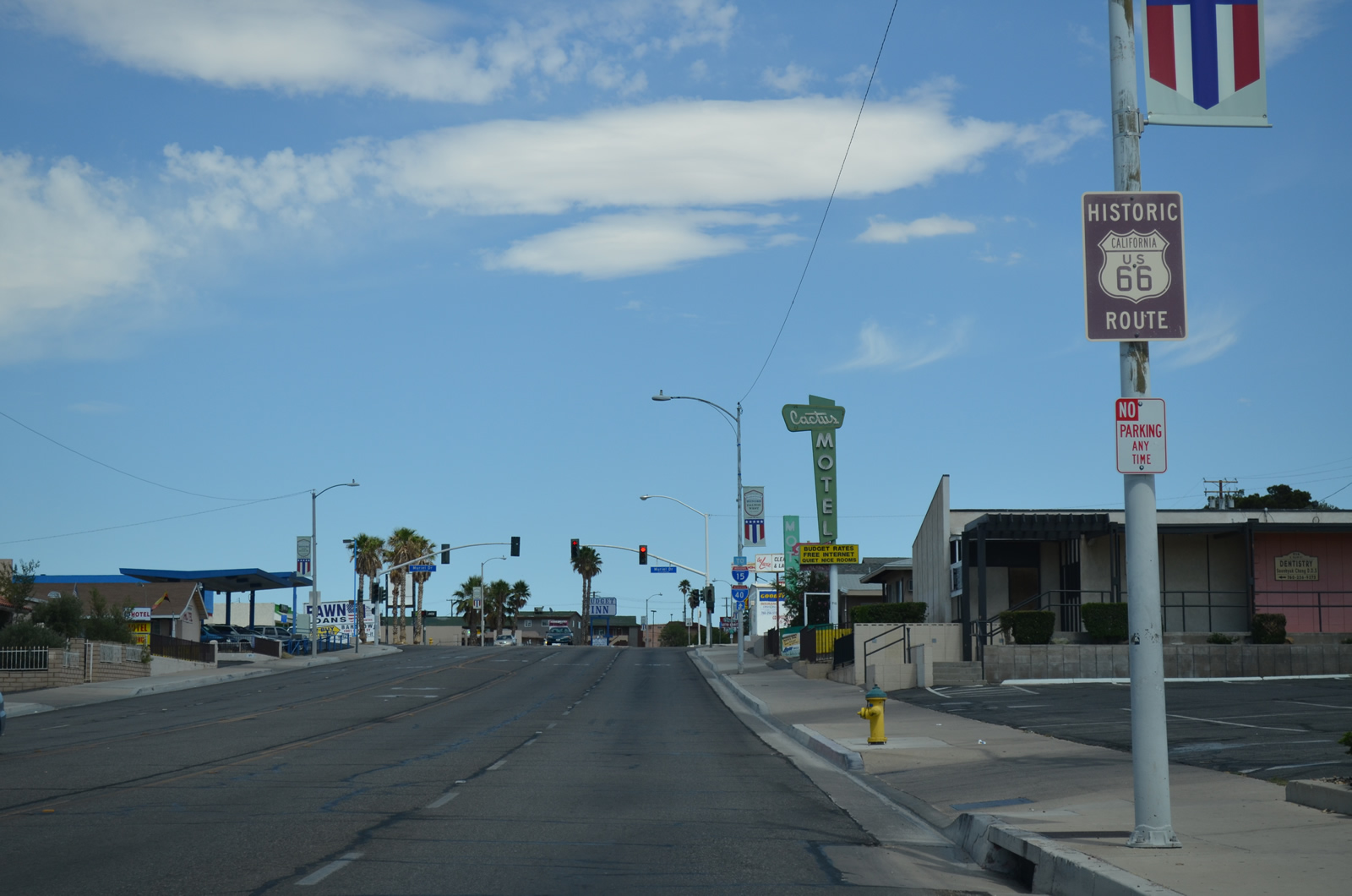
To reach the Interstate 15 and Interstate 40 freeways, Business Loop I-15/U.S. 66 or California 247 may be used. At this point, however, it is best to take the business route back to the freeways. Photo taken 03/24/13. |
|
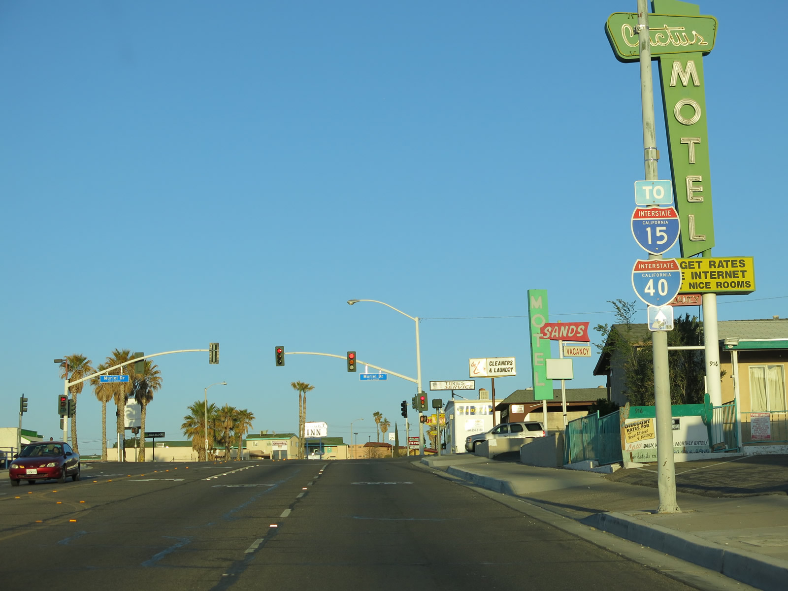
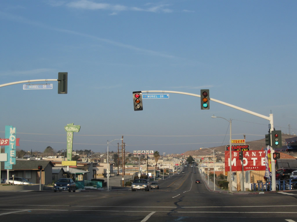
Business Loop I-15/U.S. 66 meets Muriel Drive. Photo taken 07/20/14. |
|
Eastbound U.S. 66 and Business Loop I-15 rises to a summit that provides a spectacular view of the city and desert surrounding it. A partial moon illuminates the sky behind the route marker. Photo taken 03/24/13. |
|
Reaching a high poinr, the business loop meets Yucca Drive at this traffic signal. From here, the roadway will descend to the Interstate 15 interchange. Photo taken 03/24/13. |
|
This standalone Business Loop I-15 is the last one along northbound before the business route connects to Interstate 15 and Interstate 40. Photo taken 07/20/14. |
|
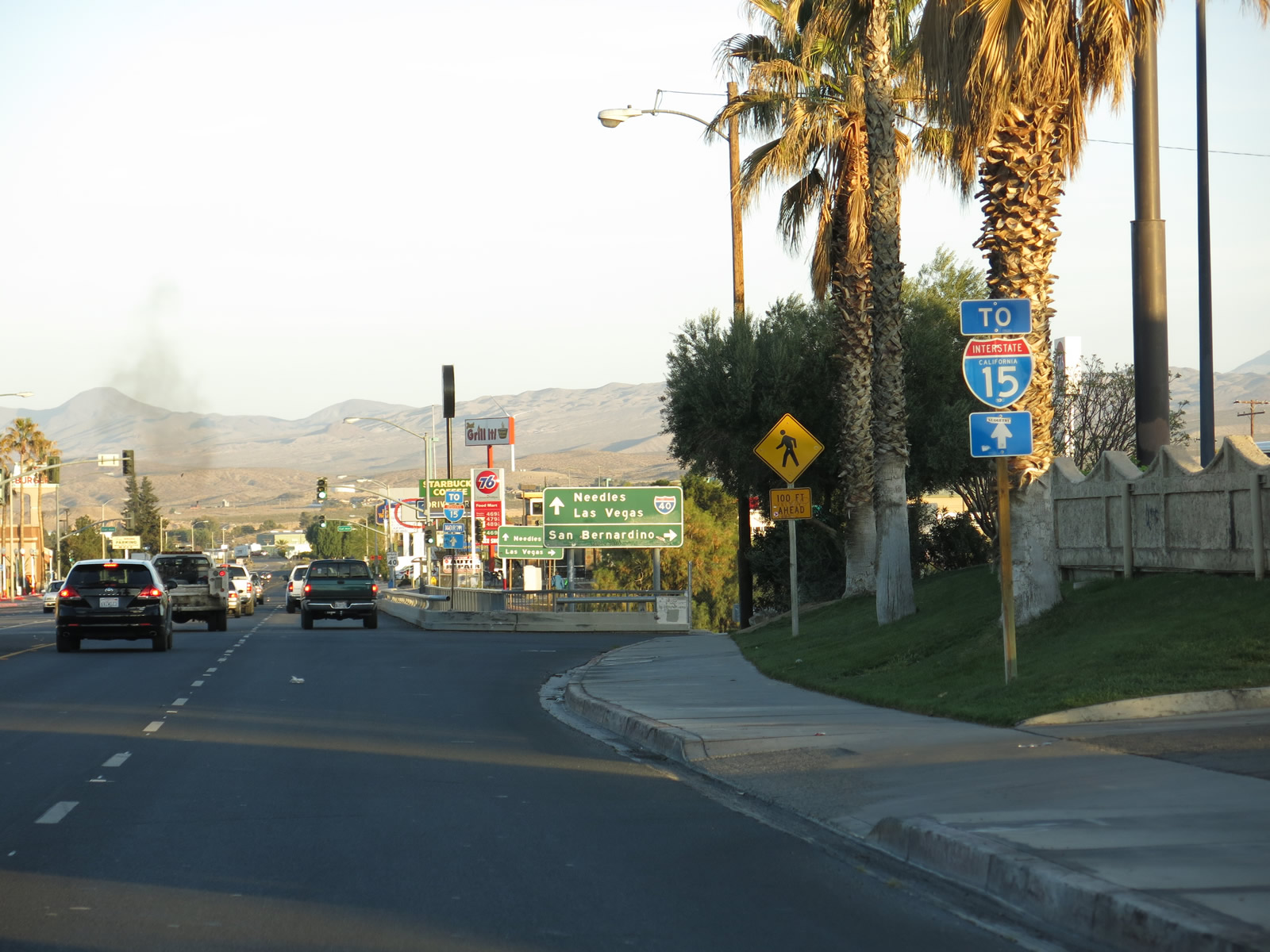
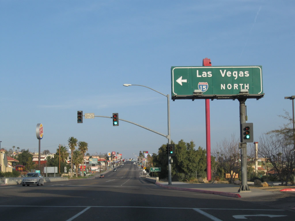
Business Loop I-15 and U.S. 66 approach the junction with Interstate 15. The next right connects with Interstate 15 south to San Bernardino, and the second right connects with Interstate 15 north to Las Vegas. Photo taken 03/24/13. |
|
Northbound Business Loop I-15 meets Interstate 15 south. After crossing the freeway, a right turn leads to northbound Interstate 15, and Main Street continues straight ahead en route to Interstate 40. U.S. 66 continues straight ahead. Photo taken 03/24/13. |
|
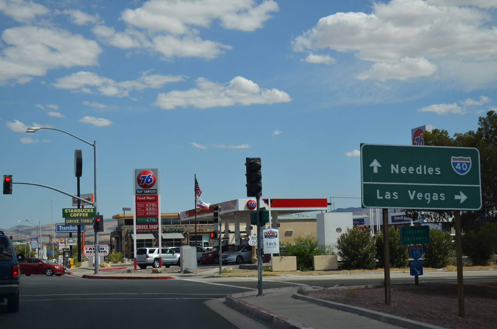
The following right turn connects northbound Business Loop I-15 and eastbound U.S. 66 (County Route 66) with Interstate 15 north to Baker and Las Vegas. Continue ahead for the cotinuation of Business Loop I-15 to Interstate 40 east to Needles and Flagstaff. Photo taken 07/20/14. |
|
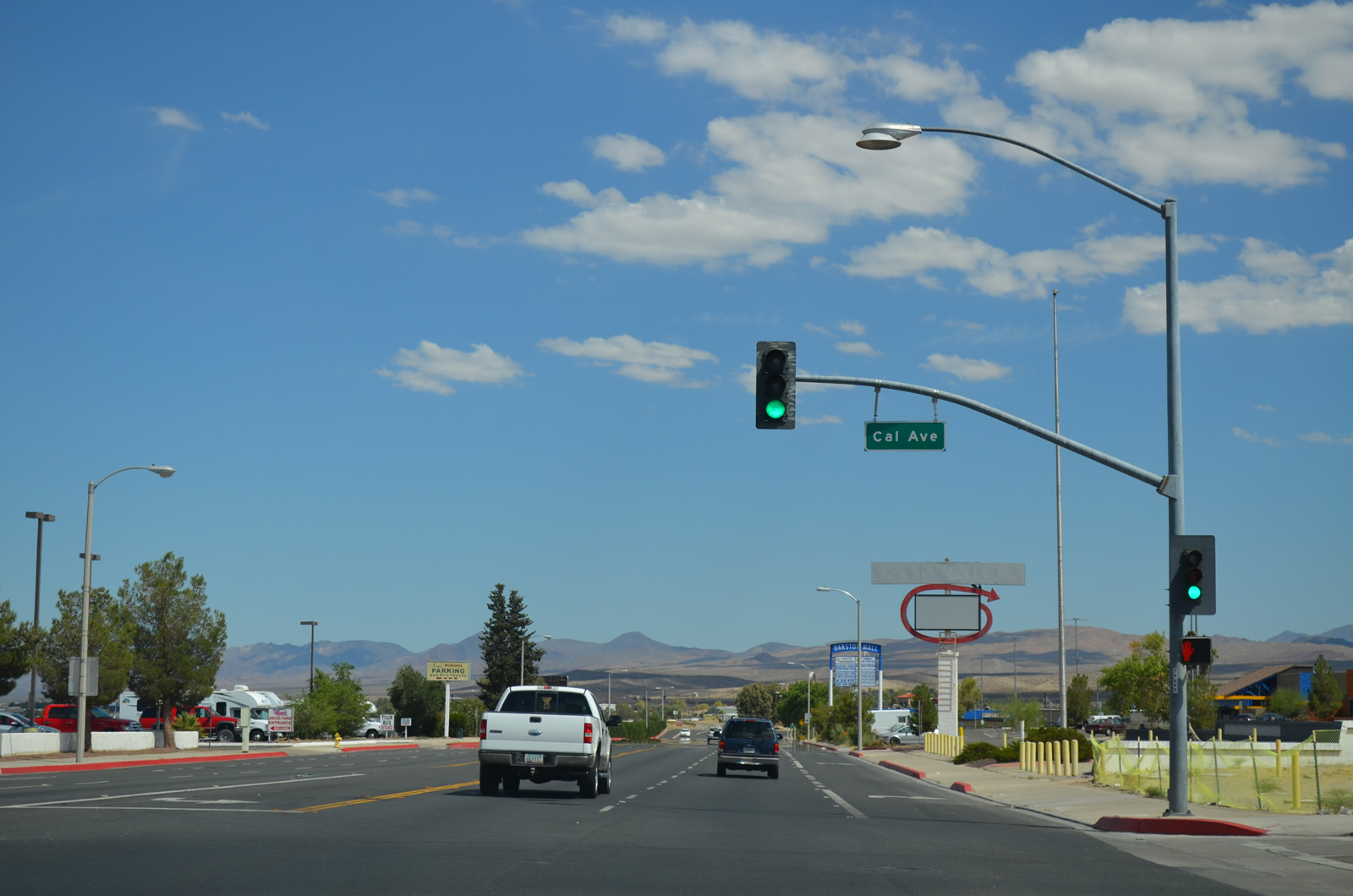
Five lanes of Business Loop I-15 and eastbound U.S. 66 (County Route 66) link Interstate 15 north with Interstate 40 east. This signalized intersection is with Cal Avenue. Photo taken 03/24/13. |
|
Northbound Business Loop I-15 approaches Interstate 40. This one of a few rare instances of an Interstate business loop that ends at a route other than its parent. Photo taken 07/20/14. |
|
The final interchange of the business loop is with Interstate 40. Note the control cities of Needles (east) and San Bernardino (west). Photo taken 07/20/14. |
|
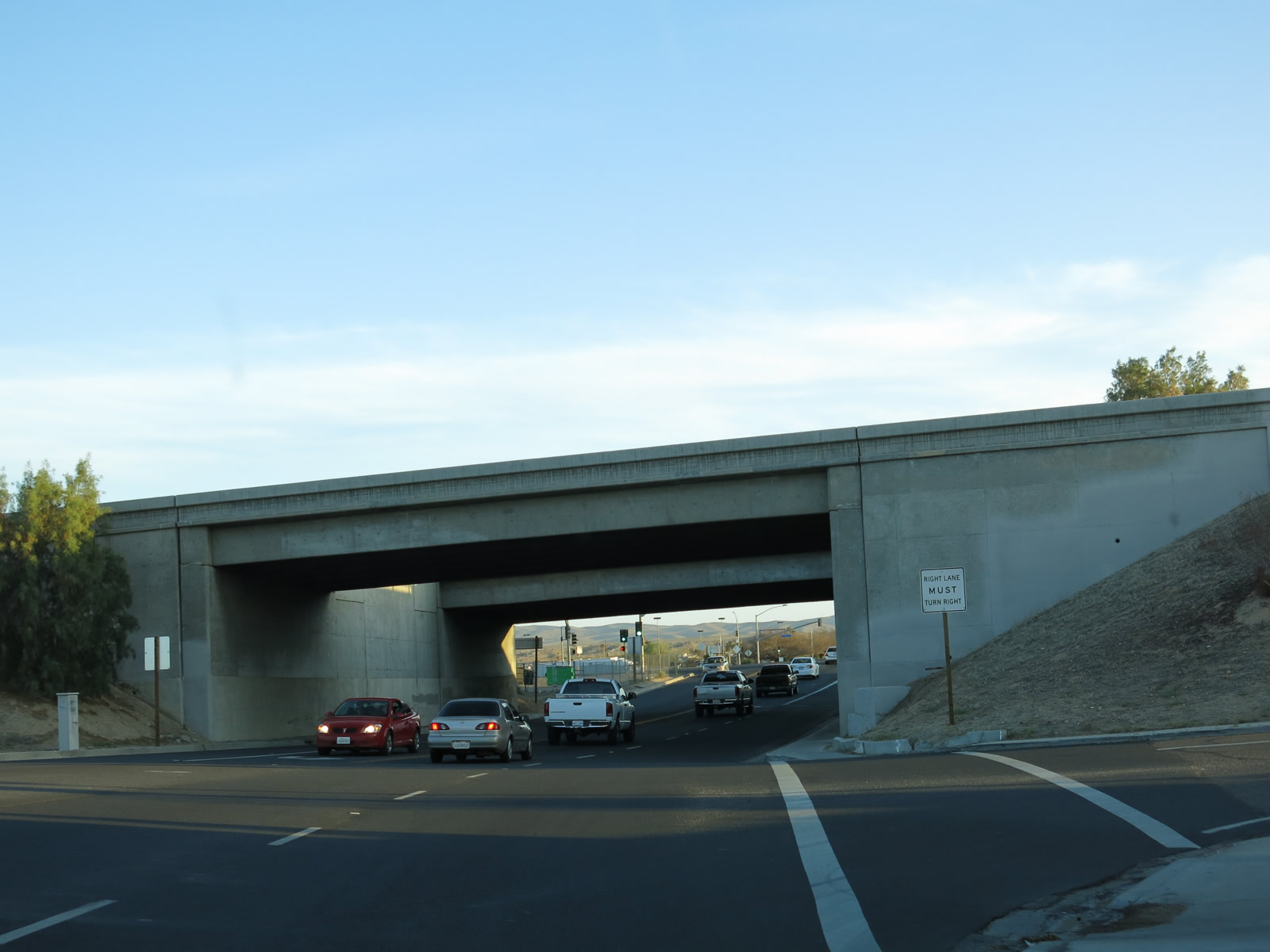
Main Street meets the ramp to westbound Interstate 40 and passes under the freeway. Photo taken 03/24/13. |
|
|
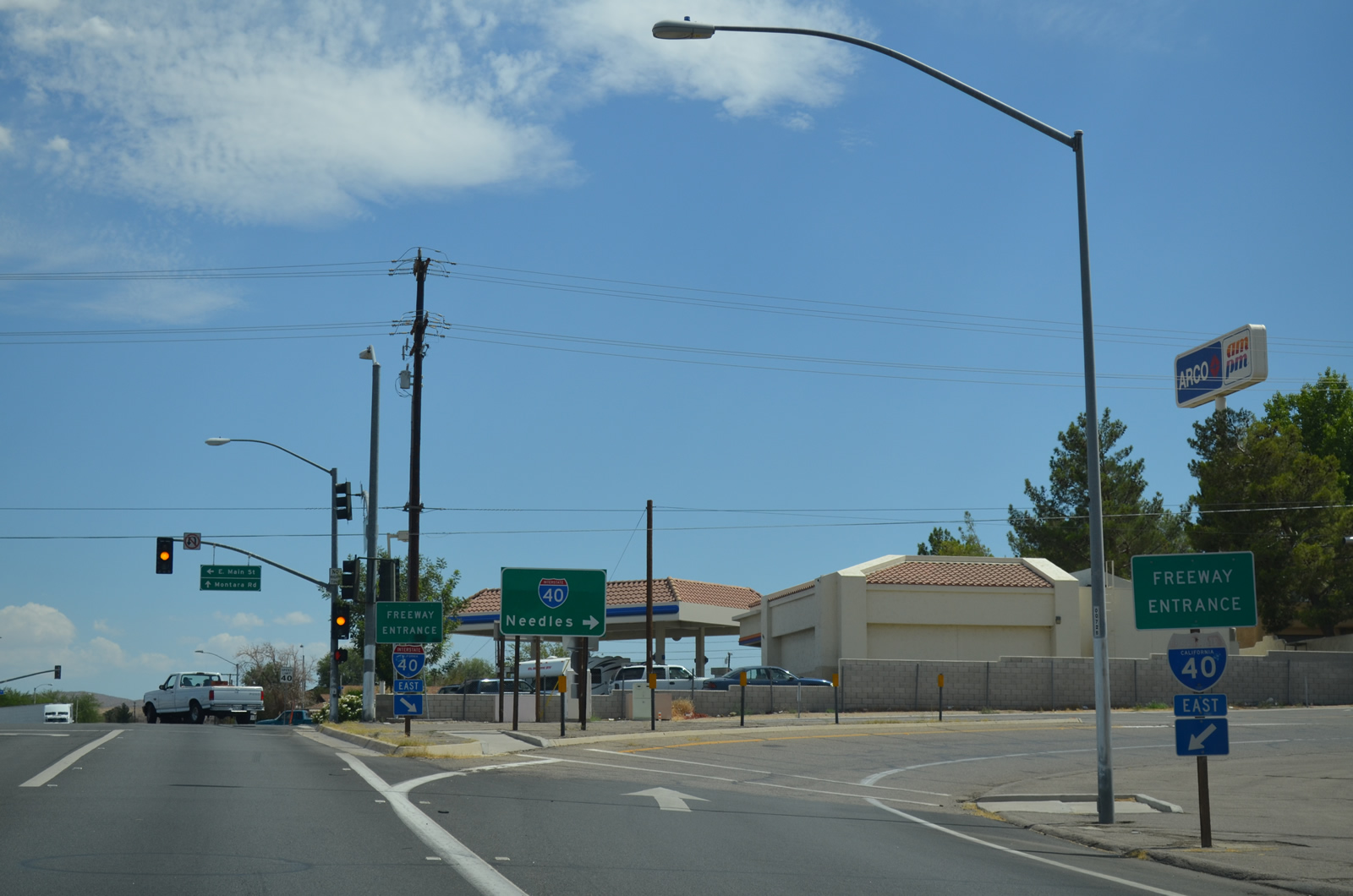
Business Loop I-15 reaches its northern terminus at its interchange with Interstate 40 eastbound. This loop ramp carries traffic from the business route (Main Street) onto eastbound Interstate 40. Historic U.S. 66, meanwhile, continues toward the left on Main Street, connecting with its original alignment. Montara Street proceeds south from here. Photos taken 07/20/14 and 01/20/04. |
|
|
Close-up of gore sign for transition ramp from northbound Business Loop I-15 to eastbound Interstate 40. The 2004 image shows the sign that was placed in the 1960s and is one of a handful of original reflective signs that were used during that era. Not many of them remain, and this one is clearly dated because it features a partially covered up U.S. 66 shield. The Interstate 40 shield is newer and was pasted onto the sign at a later time. The 2014 image shows the replacement sign, which is a more modern reflective sign with no indication of U.S. 66. Photos taken 07/20/14 and 01/20/04. |
| Business Loop I-15 south & County Road 66 west |
|
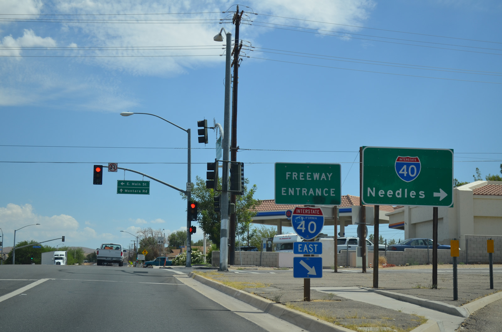
Upon exiting from Interstate 40 at Exit 1, stay right to follow Business Loop I-15 and Historic U.S. 66 (Main Street) west to Barstow. Turn left to Montara Street south. Photo taken 03/15/09. |
|
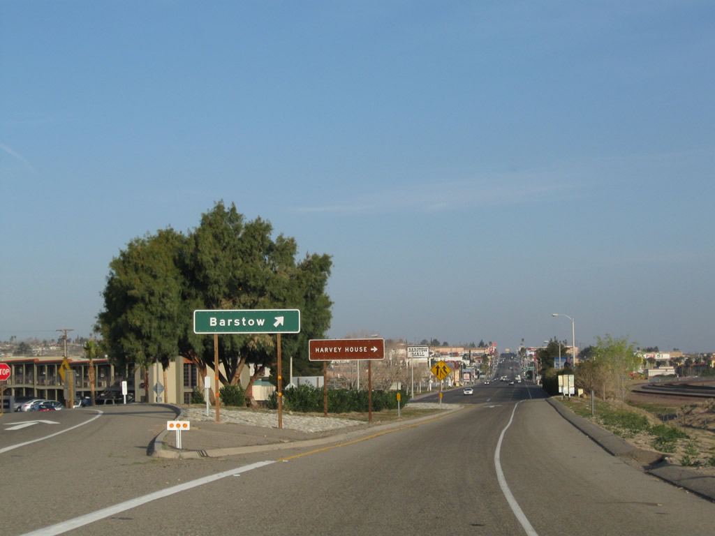
A single guide sign for Barstow is posted shortly thereafter. Photo taken 03/15/09. |
|
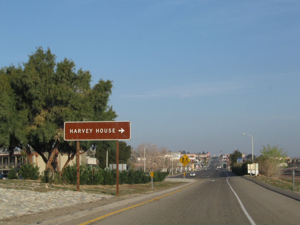
The Harvey House is located west of here via Main Street west to First Avenue west. Photo taken 03/15/09. |
|
Westbound Business Loop I-15 and U.S. 66 merges with traffic from Montara Street northbound. From here, five lanes carry the business route into Barstow. Photo taken 03/15/09. |
|
The first reassurance shield for Business Loop I-15 is posted after the merge point. Photo taken 03/15/09. |
|
After passing by several restaurants, motels, and shops, westbound U.S. 66 approaches its first interchange with Interstate 15. U.S. 66 will parallel Interstate 15 from this point south to San Bernardino. Much of the old alignment is preserved and signed for driving the Mother Road. Photo taken 03/15/09. |
|
Westbound Business Loop I-15 and U.S. 66 meet Cal Avenue at this traffic signal. Photo taken 03/15/09. |
|
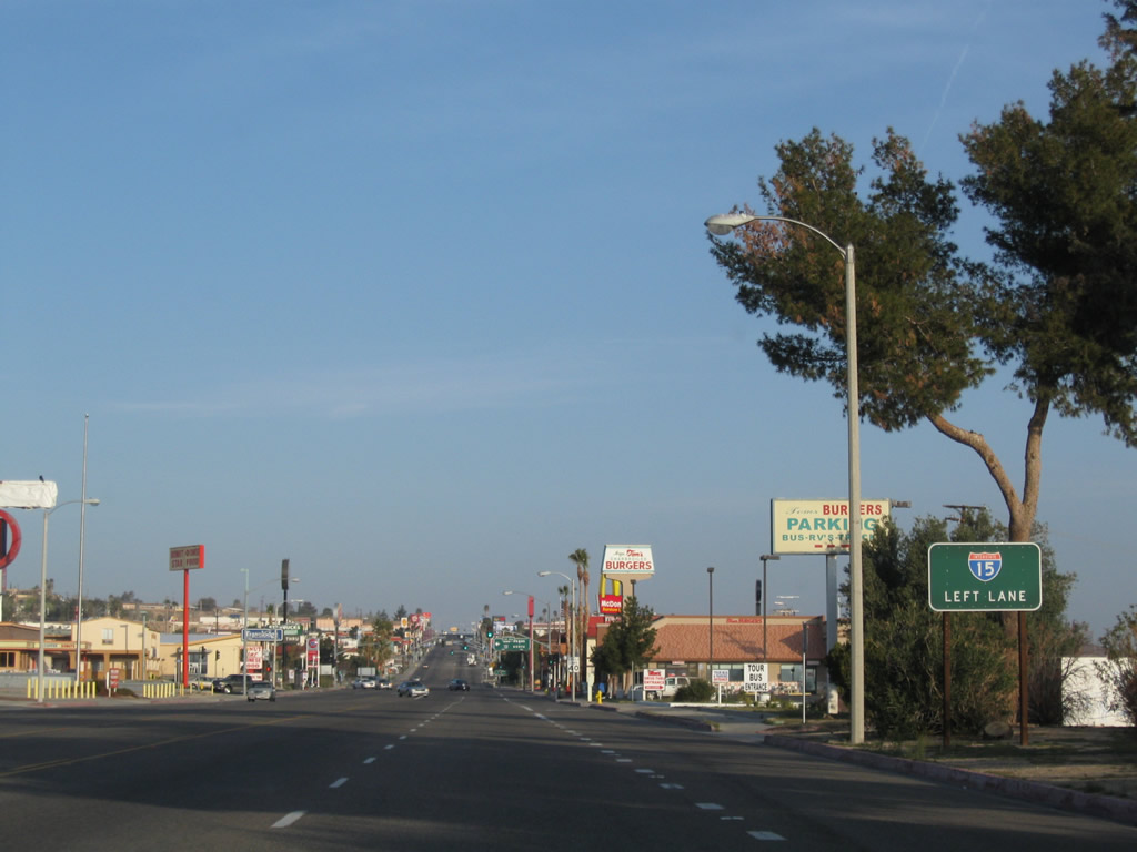
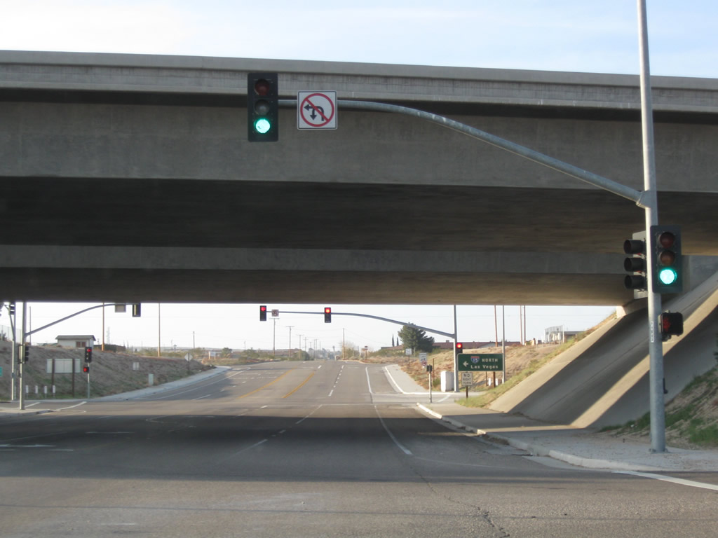
The next traffic signal is with Interstate 15 north to Las Vegas; continue straight ahead toward downtown Barstow. Photo taken 03/15/09. |
|
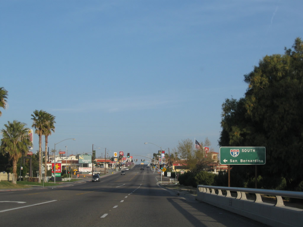
After crossing over Interstate 15, the next left connects to Interstate 15 south to San Bernardino and Los Angeles. Photo taken 03/15/09. |
|
At this traffic signal, motorists from southbound Interstate 15 can connect to the business route. Photo taken 03/15/09. |
|
Another Business Loop I-15 shield is posted after the interchange with Interstate 15. Photo taken 03/15/09. |
|
Historic U.S. 66 is fairly well signed through the city of Barstow. Photo taken 03/15/09. |
|
|
|
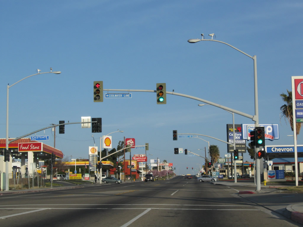
At this confluence of traffic signals is the intersection of Main Street with Coolwater Lane, Eastgate Road, and Mountain View Street. Photos taken 03/15/09. |
|
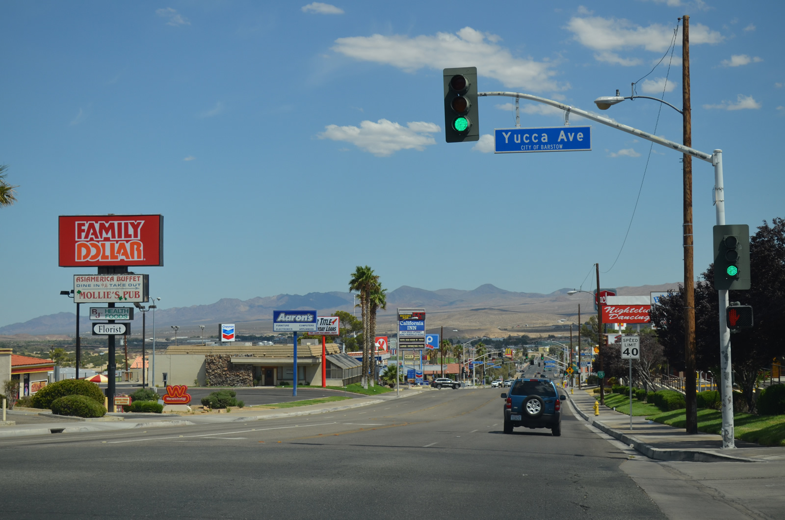
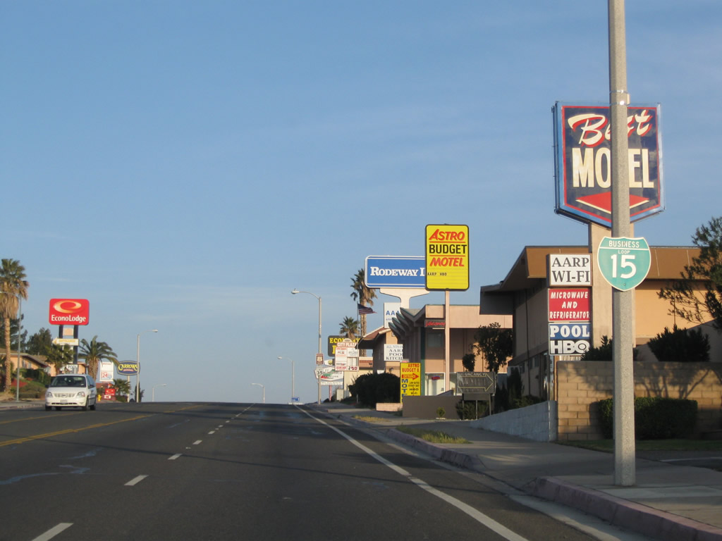
Westbound Business Loop I-15 and Historic U.S. 66 (Main Street) approach Yucca Avenue. Yucca Avenue travels north to connect to Riverside Drive west to the U.S. 66 Museum and historic train station. Motels, restaurants, and stores line both sides of Main Street along this section east of downtown Barstow. Photo taken 03/15/09. |
|
This Business Loop I-15 shield is posted along westbound Main Street after Yucca Avenue. Photo taken 03/15/09. |
|
A Historic U.S. 66 shield is posted above a speed limit sign along westbound (southbound) Main Street in Barstow. Photo taken 03/15/09. |
|
To the Harvey House, Amtrak Station, Route 66 Museum, and Western America Railroad Museum, follow Business Loop I-15 and Historic U.S. 66 (Main Street) west to First Avenue, then turn right (north) on Historic U.S. 91 (First Avenue). Photo taken 03/15/09. |
|
Main Street carries five lanes for much of its route through Barstow, with two through lanes in each direction and a center turn lane. Photo taken 03/15/09. |
|
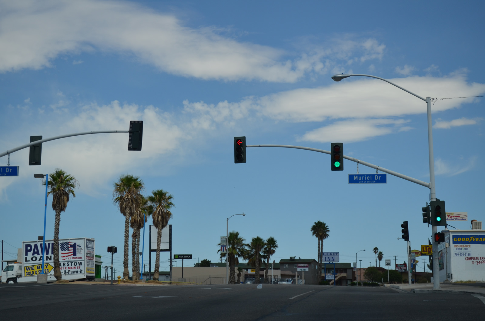
The next traffic signal along southbound Business Loop I-15 and U.S. 66 is with Muriel Drive. By this point, Main Street is traveling nearly due west. Photo taken 03/15/09. |
|
Another U.S. 66 shield is posted after the Muriel Drive intersection. Photo taken 03/15/09. |
|
Westbound Business Loop I-15 and Historic U.S. 66 (Main Street) meet Seventh Avenue at this signalized intersection. Main Street now passes through downtown Barstow. Photo taken 03/15/09. |
|
Southbound Business Loop I-15 and westbound Historic U.S. 66 (Main Street) approaches Barstow Road, which connects to California 247 en route to Lucerne Valley. The state route begins south of here, after Barstow Road crosses over the Interstate 15 freeway. A trailblazer helps point the way to California 247 south. Photo taken 03/15/09. |
|
A brief landscaped median helps shade Main Street southwest of the Barstow Road intersection. Photo taken 03/15/09. |
|
A Business Loop I-15 reassurance shield is posted in downtown Barstow. Photo taken 03/15/09. |
|
Historic U.S. 66 is also signed in downtown Barstow. Photo taken 03/15/09. |
|
Westbound Business Loop I-15 and Historic U.S. 66 (Main Street) meets Third Avenue at this traffic signal. The next intersection is with First Avenue, which is the old alignment of U.S. 91 north to the Harvey House and Old U.S. 466. Photo taken 03/15/09. |
|
Immediately thereafter and before the business loop leaves through downtown barstow, Main Street connects with First Avenue. This is the historic meeting point of U.S. 66 and U.S. 91. First Avenue is Historic U.S. 91, which heads north over the Burlington Northern Santa Fe (BNSF) Railroad and Mojave River to meet Old California 58/Historic U.S. 466. In addition to seeing two very old bridges, Historic U.S. 91 passes by the Harvey House, which houses a railway museum and a U.S. 66 Museum (which oddly enough has a U.S. 91 address). As for U.S. 91 south, it merges with U.S. 66 west, and the two routes remain paired until reaching the city of San Bernardino. Photo taken 03/15/09. |
|
A Business Loop I-15 reassurance shield is posted after the First Avenue intersection along Main Street. At this point, U.S. 66 and U.S. 91 combine to share pavement from Barstow south to San Bernardino. Photo taken 03/15/09. |
|
|
The Route 66 Motel is located off Main Street southwest of downtown. A Historic U.S. 66 shield is posted in front of the historic motel. Photos taken 03/15/09. |
|
The business route turns southwest. Photo taken 03/15/09. |
|
The next traffic signal along Business Loop I-15 and U.S. 66-91 southwest is with Avenue A. Photo taken 03/15/09. |
|
As Main Street proceeds southwest, intersecting streets increase in naming from Avenue A, Avenue B, Avenue C, etc. Here is an Interstate 15 trailblazer along southbound Business Loop I-15 and U.S. 66-91. Photo taken 03/15/09. |
|
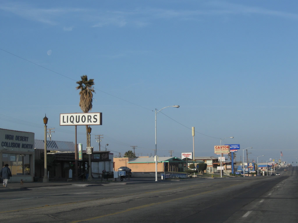
Historic U.S. 66 is again posted near Avenue E. Photo taken 03/15/09. |
|
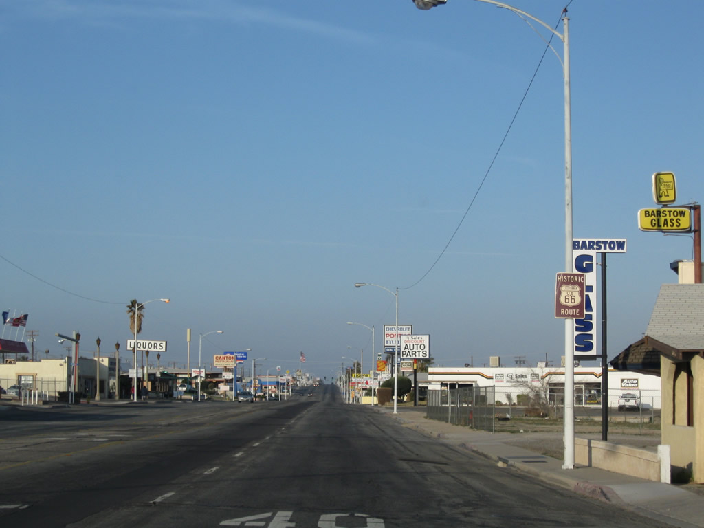
A liquor store has a Route 66 shield posted below its marquee. Photo taken 03/15/09. |
|
Southbound Business Loop I-15 and U.S. 66-91 approach Avenue H. Photo taken 03/15/09. |
|
A Business Loop I-15 reassurance shield is posted after the Avenue H intersection. Photo taken 03/15/09. |
|
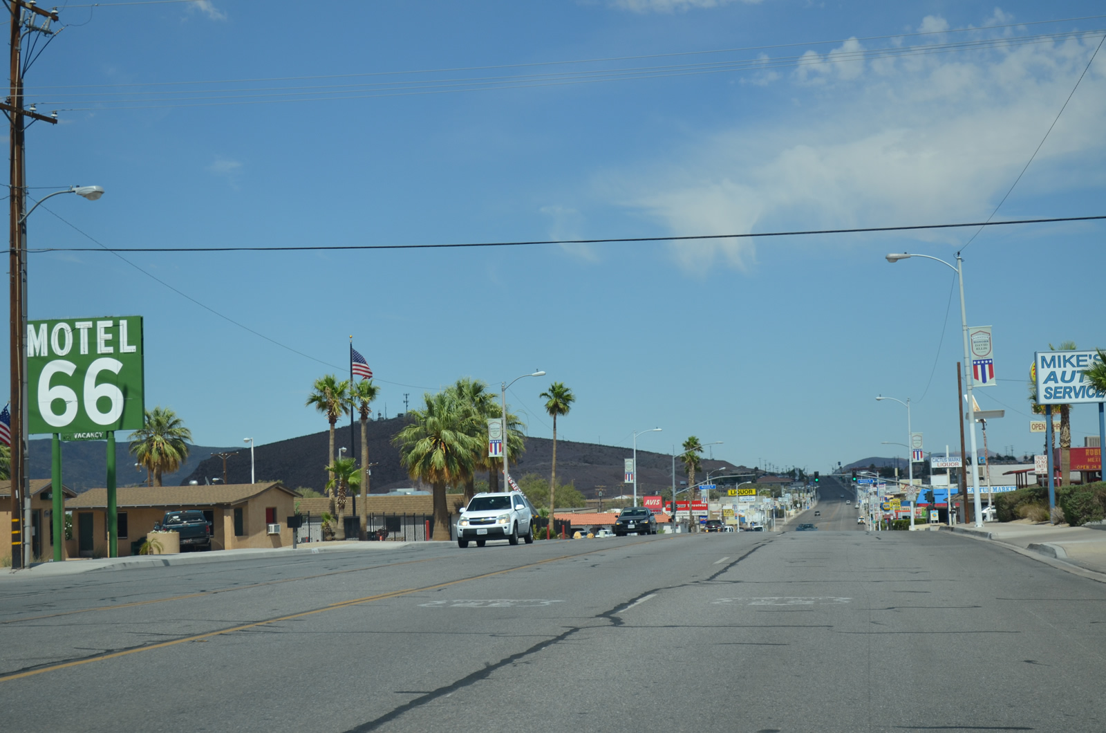
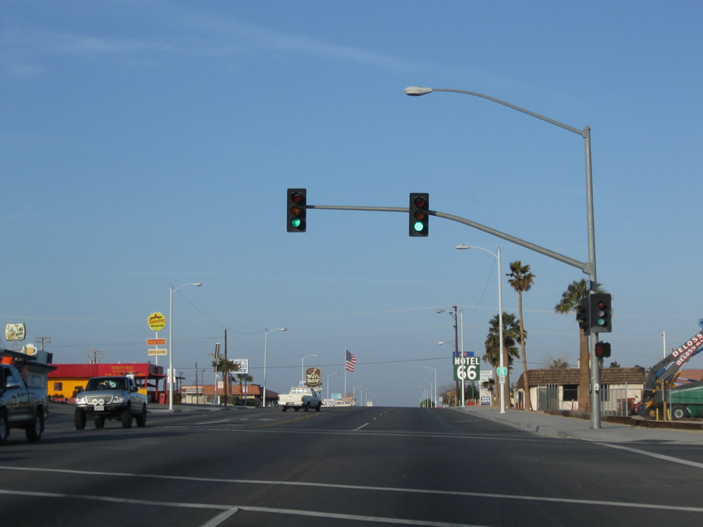
Continuing southwest, a Motel 66 is located on Main Street near a Bun Boy restaurant. Photo taken 03/15/09. |
|
This historic U.S. 66 shield is posted soon thereafter. Photo taken 03/15/09. |
|
Southbound Business Loop I-15 and U.S. 66-91 approach L Street (Avenue L). Turn left to follow the business route back to the freeway; continue straight ahead to follow U.S. 66-91/Main Street south to Oro Grande, meeting Interstate 15 in Victorville. Photo taken 03/15/09. |
|
Business Loop I-15 and U.S. 66-91 split at the L Street (Avenue L) intersection. Photo taken 03/15/09. |
| Business Loop I-15 south |
|
After leaving Main Street, Business Loop I-15 travels east along L Street (Avenue L) to rejoin Interstate 15. Photo taken 03/15/09. |
|
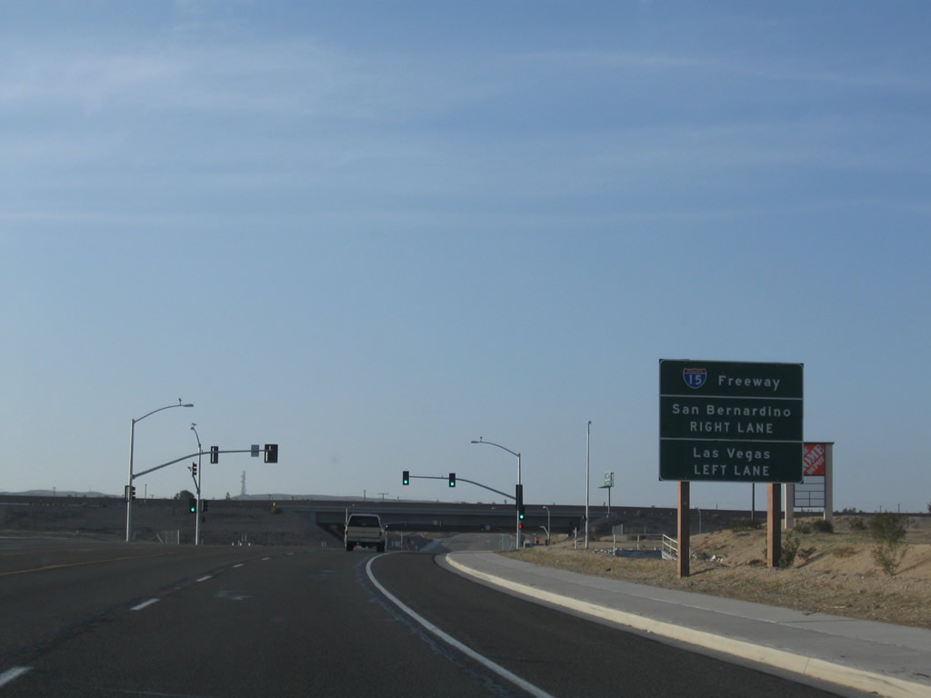
Southbound Business Loop I-15 approaches Interstate 15 north to Las Vegas and south to Victorville and San Bernardino. Photo taken 03/15/09. |
|
Turn right here to connect to Interstate 15 south to Victorville, San Bernardino, and Los Angeles. Photo taken 03/15/09. |
|
After passing under Interstate 15, turn left to follow Interstate 15 north to Las Vegas. The business route ends at this point. Photo taken 03/15/09. |
| Business Loop I-15 scenes |
|
These Business Loop I-15 and Historic U.S. 66 shields are found along southbound Business Loop I-15 (Main Street) in downtown Barstow. Photo taken 11/01. |
|
A few replica U.S. 66 shields are found on the Route 66 Motel. Photo taken 03/15/09. |
Page Updated July 24, 2014.